Skip to content

East Texas · Swimming holes

Swimming Holes Near Tyler, Texas

Source-backed spring, river, pool and swimming destinations, with current access, flow, water-quality and reservation checks left to the destination guide and official source.

Source-backed options24

Distance windowUp to 150 straight-line miles

OrderingGeographic distance

Straight-line distances are screening estimates from central Tyler. They are not road miles or drive-time promises. Use the “Check current drive” links in the map and guide sections below for current Google Maps routing, road mileage and travel-time estimates.

Map & routes

Find it on the map and compare routes

Close to the metro

1 full TexasDefined guide in this geographic band

About 9 geographic miles

Tyler

Tyler · Smith County

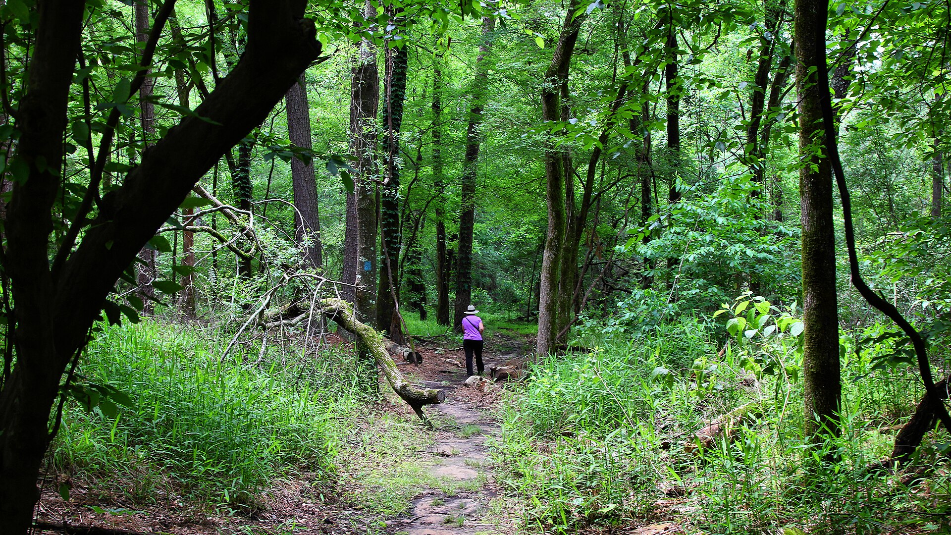
Tyler State Park

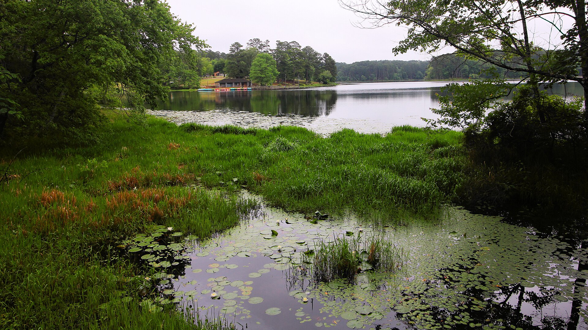
A wooded East Texas park centered on a spring-fed lake, with tall pines, CCC-era character, paddling, fishing, swimming and trails close enough to Tyler for an easy weekend escape.

Best season: Fall through spring for hiking; summer is popular for lake activitiesUpdated Oct 2026
  • Spring-fed lake for paddling, fishing and swimming
  • Pine and hardwood forest trails
  • Civilian Conservation Corps-era park features
Explore this place
Check current drive from Tyler ↗

Easy day-trip range

6 full TexasDefined guides in this geographic band

About 41 geographic miles

Eustace

Eustace · Henderson County

Purtis Creek State Park

A small East Texas park built around a quiet no-wake lake managed for quality bass fishing, with paddling, swimming, camping and wooded trails near Athens.

Best season: Spring and fall for fishing and camping; summer for swimming and paddlingUpdated Oct 2026
  • Quality bass fishing program
  • No-wake lake
  • Paddling and swimming
Explore this place
Check current drive from Tyler ↗

About 50 geographic miles

Pittsburg

Pittsburg · Titus County

Lake Bob Sandlin State Park

A wooded Northeast Texas park on Lake Bob Sandlin where pine and hardwood forest reaches the shoreline, with fishing, paddling, swimming and lakeside camping near Pittsburg.

Best season: Spring and fall for camping and trails; warm months for lake recreationUpdated Oct 2026
  • 9,000-acre lake with fishing pier, kayak rentals and ramp
  • 3.3 miles of woodland hiking and biking trails
  • 75 developed electric/water campsites plus primitive hike-ins
Explore this place
Check current drive from Tyler ↗

About 52 geographic miles

Wills Point

Wills Point · Hunt County

Lake Tawakoni State Park

A wooded park east of Dallas on a large reservoir, with fishing, swimming, paddling, camping and shoreline trails that make it an easy water-focused escape from North Texas cities.

Best season: Spring through fall for water activities; cooler months are comfortable for hiking and campingUpdated Oct 2026
  • Reservoir fishing and boating
  • Swimming beach and paddling access
  • Oak woodland and shoreline trails
Explore this place
Check current drive from Tyler ↗

About 58 geographic miles

Daingerfield

Daingerfield · Morris County

Daingerfield State Park

A small East Texas park wrapped around an 80-acre lake, with tall pines, hardwood forest, paddling, fishing, swimming and one of the state's classic CCC landscapes.

Best season: Fall through spring for trails and camping; summer for swimmingUpdated Oct 2026
  • 74-acre Little Pine Lake for paddling and fishing
  • 2.4-mile Rustling Leaves loop and 0.8-mile Mountain View Trail
  • CCC-built Bass Lodge, group hall and pavilion
Explore this place
Check current drive from Tyler ↗

About 64 geographic miles

Nacogdoches

Nacogdoches · Nacogdoches County

Ruby M. Mize Azalea Garden

An 11-acre SFA garden celebrating native and cultivated azaleas, camellias, Japanese maples and East Texas plants, with free dawn-to-dusk public access.

Best season: Year-round, with spring and fall the most comfortable seasons for combining outdoor and indoor historic stops.Updated Oct 2026
  • 11-acre garden
  • Azalea cultivar and native-azalea collections
  • Camellias in cool season
Explore this place
Check current drive from Tyler ↗

About 68 geographic miles

Cooper

Cooper · Hopkins County

Cooper Lake State Park

A Northeast Texas lake park 90 minutes from Dallas with two active units—Doctors Creek on the north shore and South Sulphur on the south—offering fishing, swimming, trails, camping and cabins around Jim Chapman Lake.

Best season: Spring through fall for lake recreation; cooler months for hiking, riding and campingUpdated Oct 2026
  • Two separate gates: Doctors Creek and South Sulphur
  • Jim Chapman Lake fishing, paddling and swimming
  • South Sulphur's 10.5-mile Buggy Whip Equestrian Trail
Explore this place
Check current drive from Tyler ↗

Longer day trip

17 full TexasDefined guides in this geographic band

About 86 geographic miles

Atlanta

Atlanta · Cass County

Atlanta State Park

A wooded Northeast Texas park on Wright Patman Lake, combining tall pines, hardwood forest, swimming, fishing, paddling and lakeside camping near Texarkana.

Best season: Spring and fall for camping and trails; summer is popular for lake recreationUpdated Oct 2026
  • Wright Patman Lake fishing and two park boat ramps
  • 4.8 miles of hiking trails through pine and hardwood
  • 58 reservable campsites in three named camping areas
Explore this place
Check current drive from Tyler ↗

About 89 geographic miles

Dallas

Dallas · Dallas County

Dallas Arboretum and Botanical Garden

A 66-acre botanical garden on the shore of White Rock Lake, known for large seasonal flower displays, formal garden rooms, mature trees, the Rory Meyers Children's Adventure Garden and changing spring and autumn festivals just east of Downtown Dallas.

Best season: Spring for major flower displays and fall for cooler weather and seasonal gardens; summer is best near opening before afternoon heat buildsUpdated Aug 2026
  • Sixty-six acres of formal and seasonal gardens
  • White Rock Lake views and mature landscape
  • Rory Meyers Children's Adventure Garden
Explore this place
Check current drive from Tyler ↗

About 89 geographic miles

Mexia

Mexia · Limestone County

Fort Parker State Park

A CCC-built Limestone County state park on Fort Parker Lake and the Navasota River, where fishing and camping require special attention to low-water ramp warnings, closed fishing piers and 2026–27 park construction.

Best season: Spring and fall for wooded trails and permitted campsite stays; paddling and fishing require current lake and river conditionsUpdated Oct 2026
  • 750-acre Fort Parker Lake, paddling and Navasota River landscape
  • Both park fishing piers currently closed
  • CCC history and group barracks campus with distinct booking rules
Explore this place
Check current drive from Tyler ↗

About 90 geographic miles

Centerville

Centerville · Leon County

Fort Boggy State Park

A small East-Central Texas park near Centerville with a spring-fed lake, wooded trails, fishing, paddling and quiet cabins suited to a low-key family escape.

Best season: Fall through spring for trails; warm months for lake recreationUpdated Oct 2026
  • Spring-fed lake
  • Fishing and paddling
  • Wooded hiking trails
Explore this place
Check current drive from Tyler ↗

About 92 geographic miles

Dallas

Dallas · Dallas County

Dallas Zoo

Dallas Zoo is a 106-acre zoological park south of downtown with more than 2,000 animals, major African habitats, family areas and a long-running conservation and education mission.

Best season: Fall through spring for milder walking weather; summer favors early arrival and current seasonal hours.Updated Sep 2026
  • Giants of the Savanna
  • More than 2,000 animals
  • Family and children's zoo experiences
Explore this place
Check current drive from Tyler ↗

About 96 geographic miles

Bonham

Bonham · Fannin County

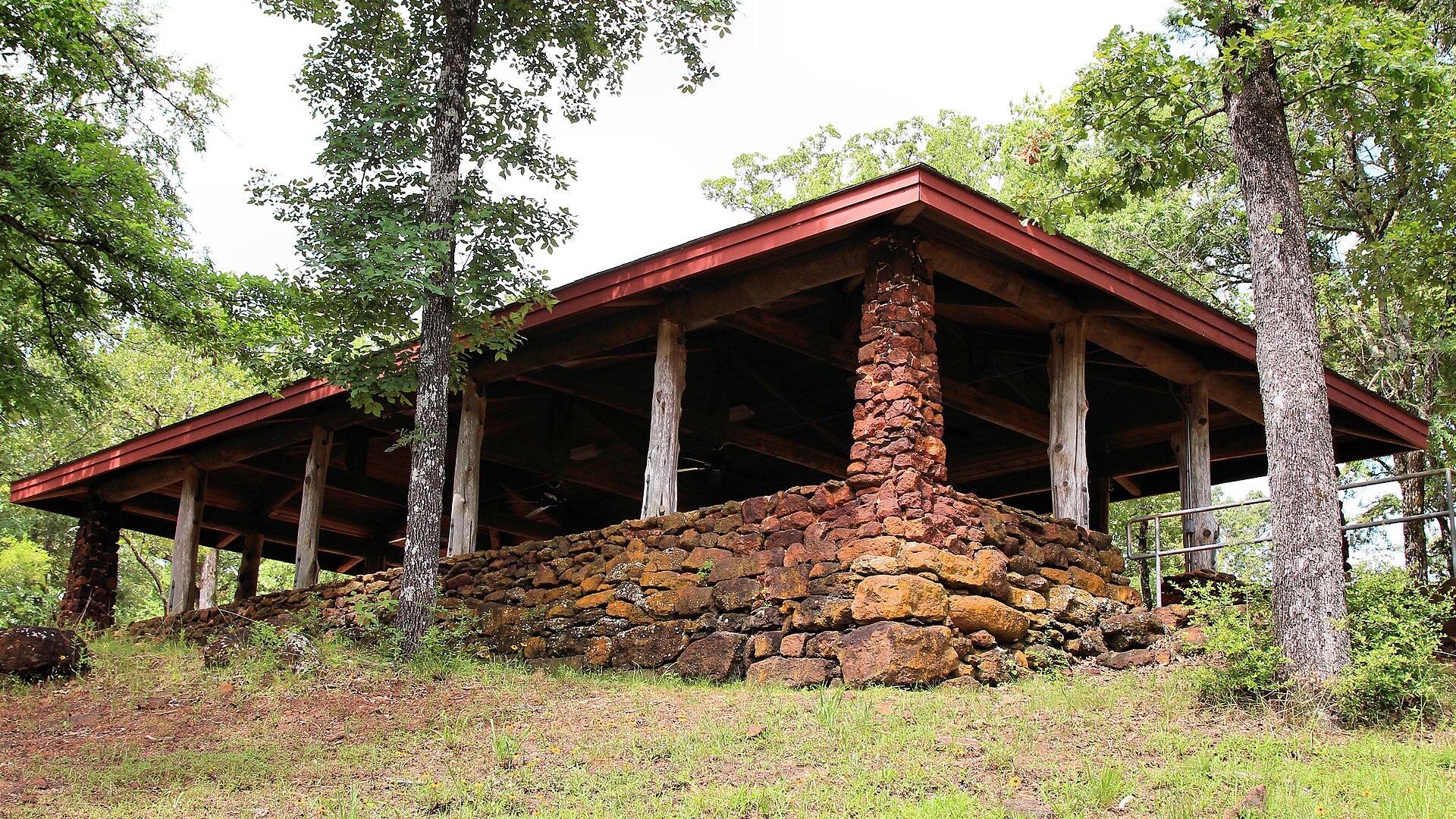
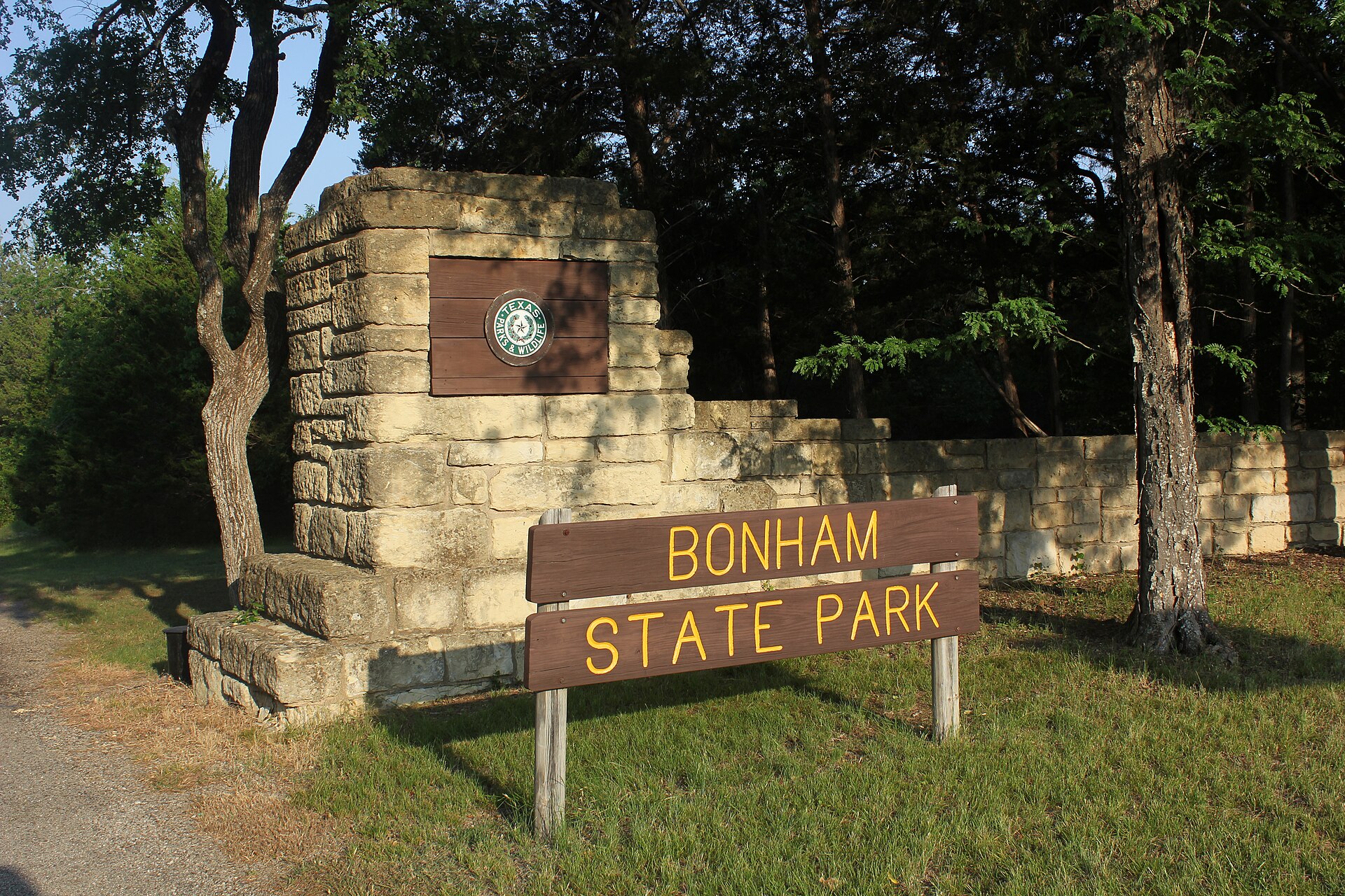
Bonham State Park

A compact North Texas park built by the Civilian Conservation Corps around a small lake, with wooded trails, paddling, fishing and historic stone-and-timber structures northeast of Dallas.

Best season: Fall through spring for trails and picnics; warm months suit paddling and swimming when openUpdated Oct 2026
  • 65-acre Bonham State Park Lake with 5-mph boat limit
  • 8.75 miles of hiking and mountain biking trails
  • Civilian Conservation Corps history and preserved park landscape
Explore this place
Check current drive from Tyler ↗

About 100 geographic miles

Cedar Hill

Cedar Hill · Dallas County

Cedar Hill State Park

A large Dallas-area park on Joe Pool Lake with limestone-and-prairie trails, swimming, fishing, mountain biking and the preserved Penn Farm agricultural landscape.

Best season: Fall through spring for trails; summer for lake recreation with heat precautionsUpdated Oct 2026
  • Joe Pool Lake
  • Penn Farm Agricultural History Center
  • Mountain biking and hiking
Explore this place
Check current drive from Tyler ↗

About 108 geographic miles

Zavalla

Zavalla · Angelina County

Angelina National Forest

A 153,334-acre federal Piney Woods forest encompassing parts of four East Texas counties, Sam Rayburn shorelines, woodland wildlife habitats, hiking, history and distinct recreation areas.

Best season: Fall through spring for comfortable long hikes; spring migration and blooms and year-round forest birding depend on local conditions.Updated Oct 2026
  • 153,334 acres in four counties
  • Boykin Springs Recreation Area
  • Sam Rayburn Reservoir shorelines
Explore this place
Check current drive from Tyler ↗

About 118 geographic miles

Livingston

Livingston · Polk County

Lake Livingston State Park

A Piney Woods reservoir park north of Houston with fishing, paddling, boating, forest trails and campsites along one of East Texas' largest lakes.

Best season: Fall through spring for camping and trails; fishing is popular year-roundUpdated Oct 2026
  • Lake Livingston fishing
  • Piney Woods shoreline
  • Boating and paddling
Explore this place
Check current drive from Tyler ↗

About 120 geographic miles

Huntsville

Huntsville · Walker County

Huntsville State Park

A Piney Woods park north of Houston centered on Lake Raven, with fishing, paddling, swimming, forest trails and camping beneath tall East Texas pines.

Best season: Fall through spring for trails and camping; summer for lake recreationUpdated Oct 2026
  • Lake Raven
  • Pine forest trails
  • Fishing and paddling
Explore this place
Check current drive from Tyler ↗

About 121 geographic miles

Fort Worth

Fort Worth · Tarrant County

Fort Worth Water Gardens

Downtown Fort Worth's free 1974 water-and-concrete landscape has three distinct pools designed by Philip Johnson and John Burgee. Visitors can view the Active Pool from above; swimming and wading are prohibited.

Best season: Spring and fall are comfortable for walking among the exposed concrete terraces; bring water during summer.Updated Nov 2026
  • Philip Johnson and John Burgee civic architecture
  • Active, Quiet and Aerated pools
  • Free downtown Fort Worth public park
Explore this place
Check current drive from Tyler ↗

About 122 geographic miles

Pilot Point

Pilot Point · Denton County

Ray Roberts Lake State Park

A two-unit North Texas lake and trail park with distinct Isle du Bois and Johnson Branch campground loops, accessible campsites, beaches, paddling and evolving Greenbelt trail alerts.

Best season: Spring and fall for hiking, birding and camping; TPWD lists March through November as the busiest part of the year.Updated Oct 2026
  • Isle du Bois Unit — 100 PW 4137, Pilot Point, Denton County
  • Johnson Branch Unit — 100 PW 4153, Valley View, Cooke County
  • TPWD's separate 30/20-amp and 50/30/20-amp campsite loops
Explore this place
Check current drive from Tyler ↗

About 123 geographic miles

Jasper

Jasper · Jasper County

Martin Dies, Jr. State Park

An East Texas park where the Angelina and Neches river country meets the edge of the Big Thicket, with paddling, cypress-lined sloughs, fishing and forest camping around the B.A. Steinhagen Reservoir.

Best season: Fall through spring for paddling, hiking and camping with lower heat and humidityUpdated Oct 2026
  • Paddling through East Texas sloughs and cypress habitat
  • Fishing and boating on B.A. Steinhagen Reservoir
  • Pine and hardwood forest trails
Explore this place
Check current drive from Tyler ↗

About 124 geographic miles

Whitney

Whitney · Hill County

Lake Whitney State Park

A limestone-shore reservoir park north of Waco with clear-water swimming, fishing, boating, camping and broad Lake Whitney views along the Brazos River system.

Best season: Spring through fall for water recreation; cooler months for camping and fishing
  • Lake Whitney swimming
  • Fishing and boating
  • Limestone shoreline
Explore this place
Check current drive from Tyler ↗

About 126 geographic miles

Denison

Denison · Grayson County

Eisenhower State Park

A rugged Lake Texoma park near Denison with high bluffs, coves, shoreline trails, fishing, boating and camping along one of the region's largest reservoirs.

Best season: Fall through spring for trails; warm months for boating and swimmingUpdated Oct 2026
  • Lake Texoma bluffs
  • Boating and fishing
  • Rocky shoreline trails
Explore this place
Check current drive from Tyler ↗

About 131 geographic miles

Cleburne

Cleburne · Johnson County

Cleburne State Park

A compact limestone park southwest of Fort Worth centered on spring-fed Cedar Lake, with CCC stonework, wooded trails, fishing, paddling and camping.

Best season: Fall through spring for trails; warm months for lake recreation
  • Spring-fed Cedar Lake
  • CCC stone structures
  • Hiking and mountain biking
Explore this place
Check current drive from Tyler ↗

About 144 geographic miles

Meridian

Meridian · Bosque County

Meridian State Park

A small limestone-and-cedar park northwest of Waco centered on a spring-fed lake built by the Civilian Conservation Corps, with trails, fishing, paddling and historic stonework.

Best season: Fall through spring for hiking; warm months add swimming and paddling
  • Spring-fed Lake Meridian
  • CCC-built stone structures
  • Bosque County limestone and cedar trails
Explore this place
Check current drive from Tyler ↗

Before you go

Use geography as a shortlist, then check the real route.

TexasDefined uses location data to make the statewide catalog easier to search. Open the current driving route for the places you are considering, then verify opening hours, reservations, park alerts, water conditions and weather with the current official source.