Skip to content
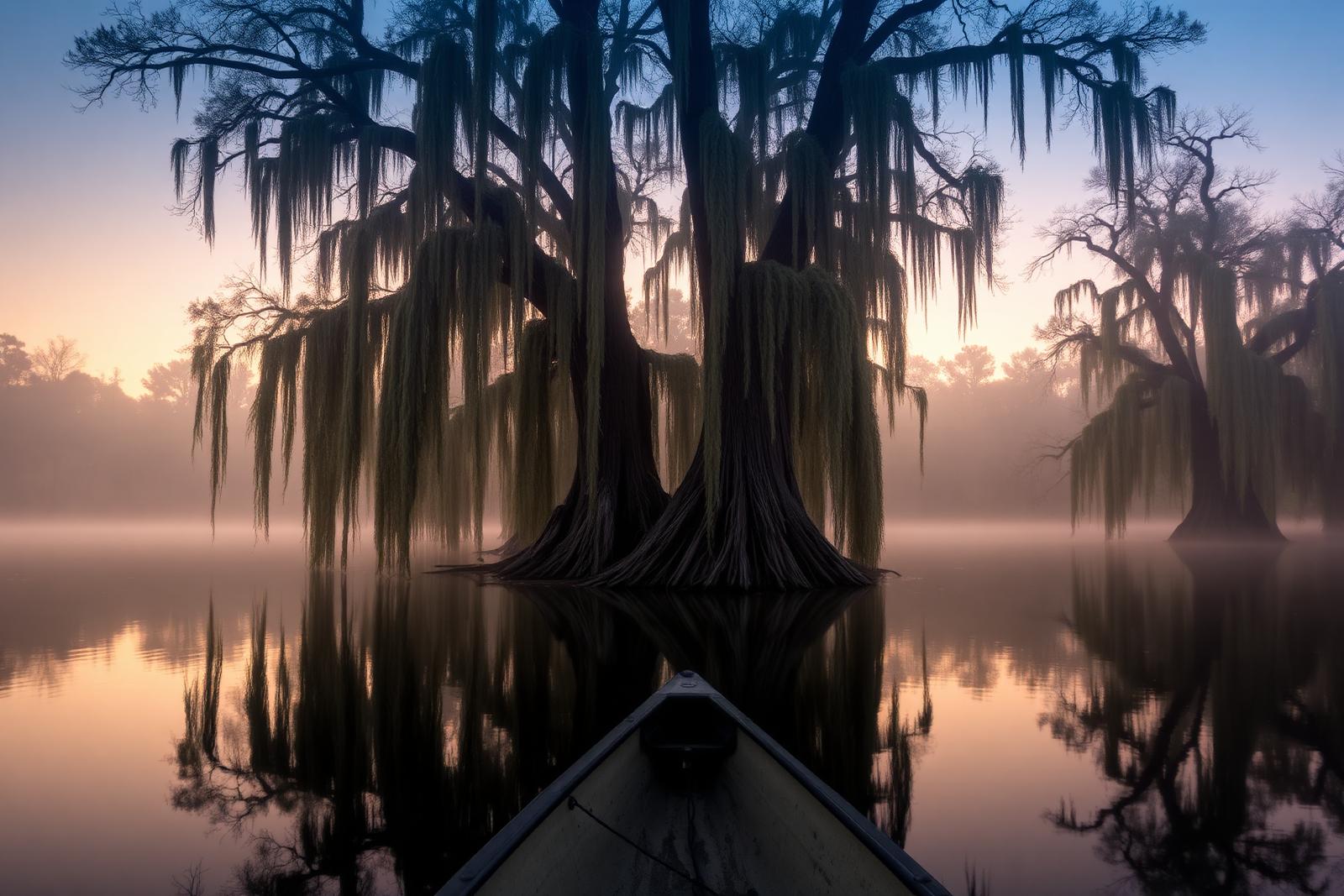
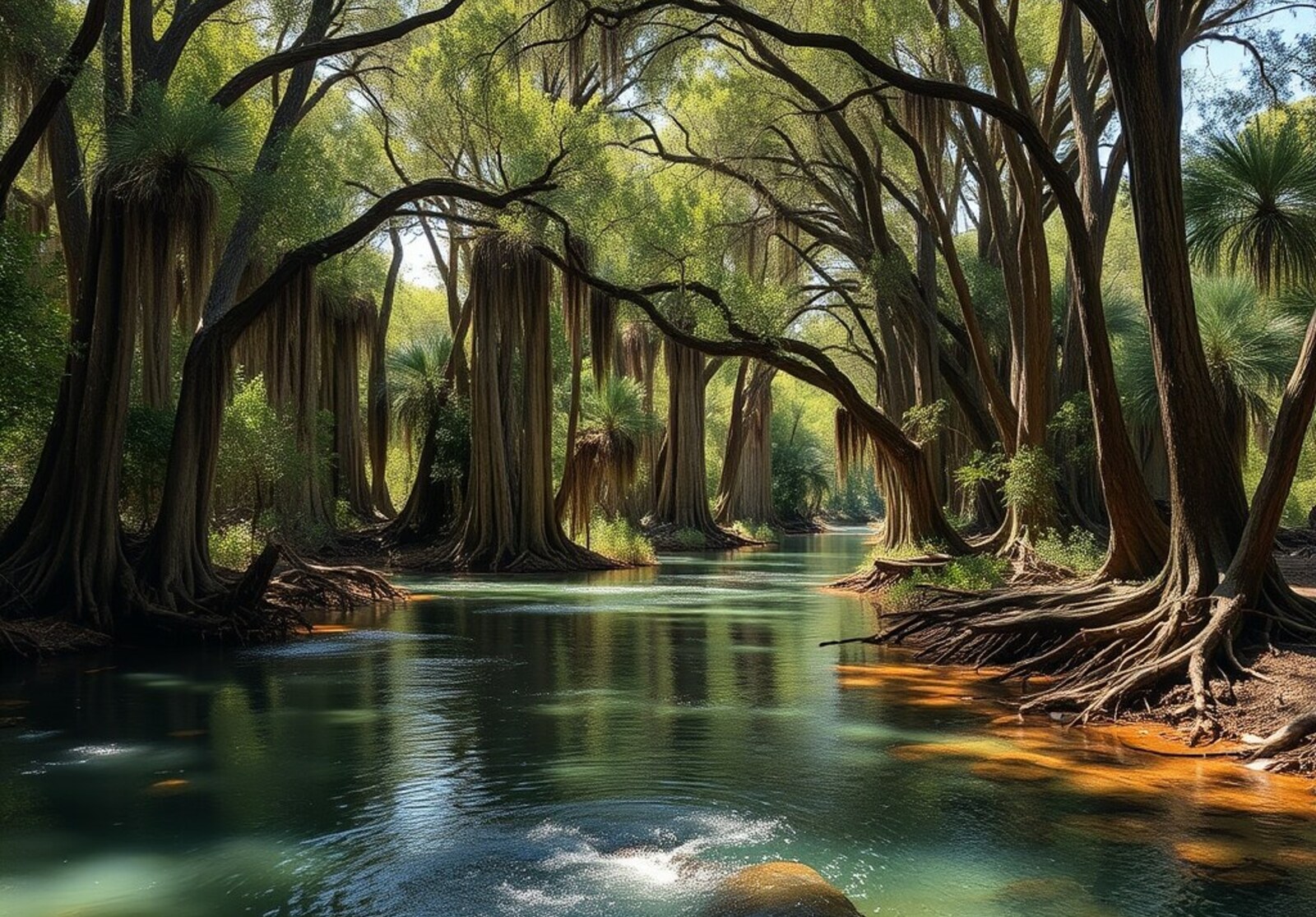
Bald cypress trees draped in Spanish moss on Caddo Lake at dawn

Water

Lakes & Rivers

Spring-fed swimming holes, cypress bayous and reservoirs big enough to lose a weekend in.

Featured story

This month’s selection

A closer look at one story from this section, selected by Texas Defined.

The field guide

Water, mapped

12 places in the Texas Defined guide, with the details you need to choose where to go next.

12 places in this guide

  • Uncertain · Piney Woods

    Caddo Lake

    A maze of bald-cypress bayous, Spanish moss and dark water on the Texas–Louisiana line, best explored slowly by paddle beneath one of the state's most distinctive forest canopies.

    Best season: Fall through spring for paddling and birding; spring brings lush growthUpdated Aug 2026
    • Bald-cypress swamp
    • Marked paddling trails and boat roads
    • Birding and wildlife
    Explore this place
  • San Antonio · Bexar County · South Texas Plains

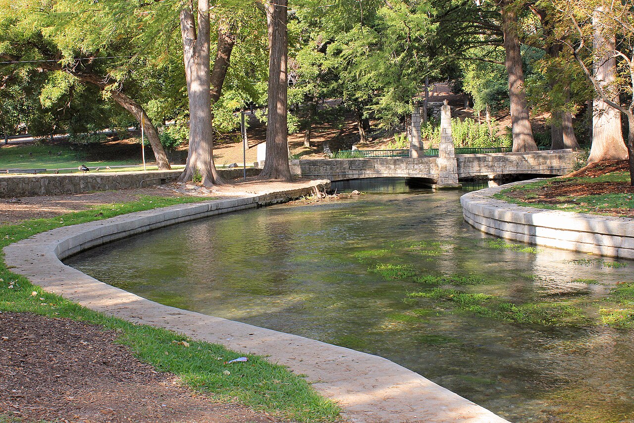
    San Antonio River Walk

    San Antonio's 15-mile river corridor links the famous below-street downtown promenade with the Museum Reach, Pearl and the Mission Reach, combining cypress-shaded walks, restaurants, public art, river cruises and some of the city's most important historic places.

    Best season: Fall through spring for the most comfortable walking weather; summer is best early in the morning or after sunset, while the holiday season brings some of the River Walk's most recognizable evening lightsUpdated Aug 2026
    • The classic below-street downtown river loop with cypress trees, stone bridges, restaurants and river cruises
    • Museum Reach trail and public art extending north toward Pearl
    • Mission Reach trails connecting the river corridor with San Antonio's Spanish colonial mission landscape
    Explore this place
  • Del Rio · Val Verde County · Big Bend Country

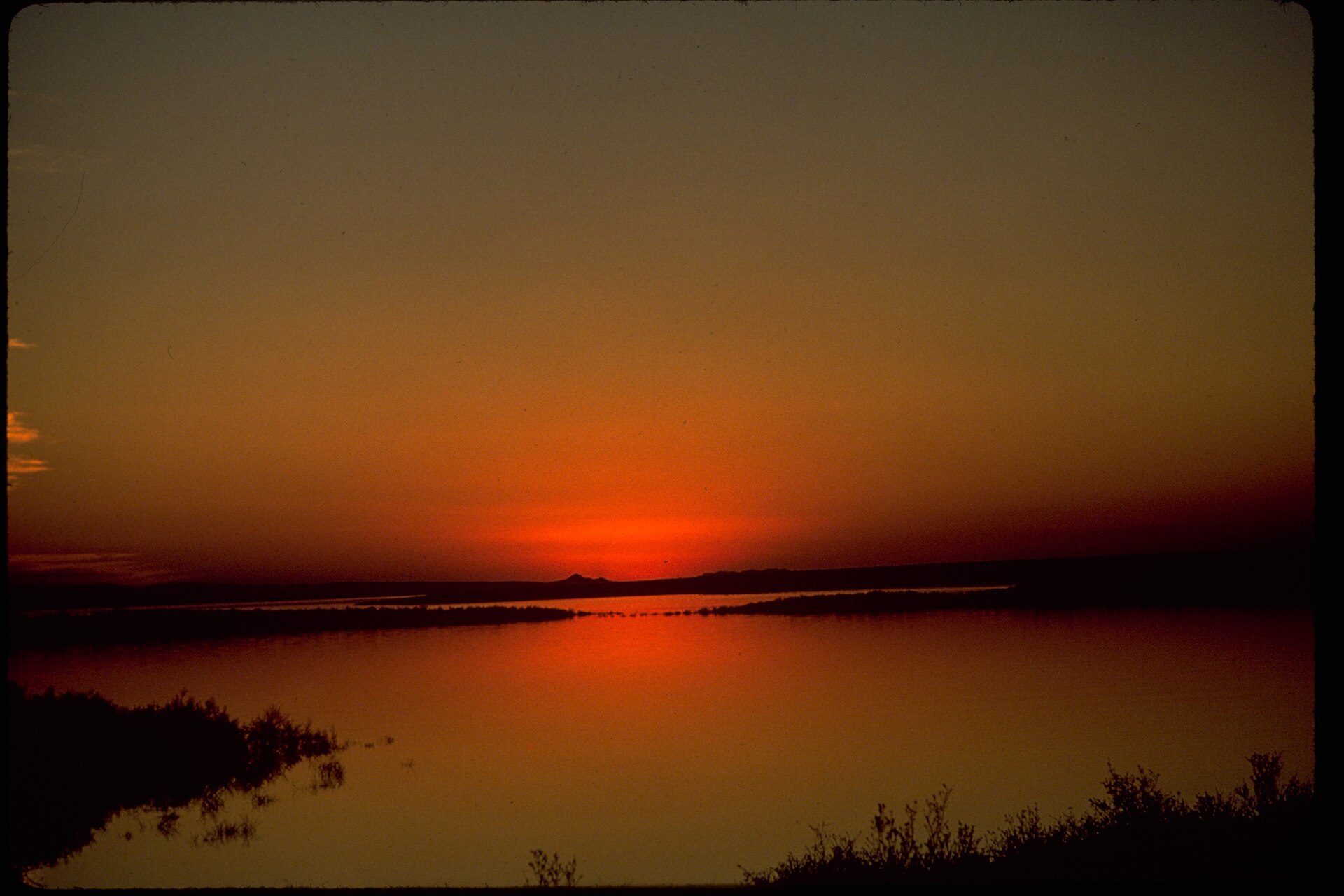
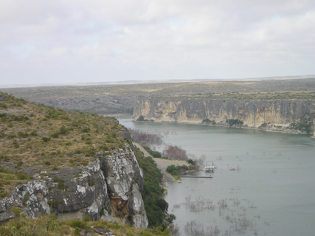
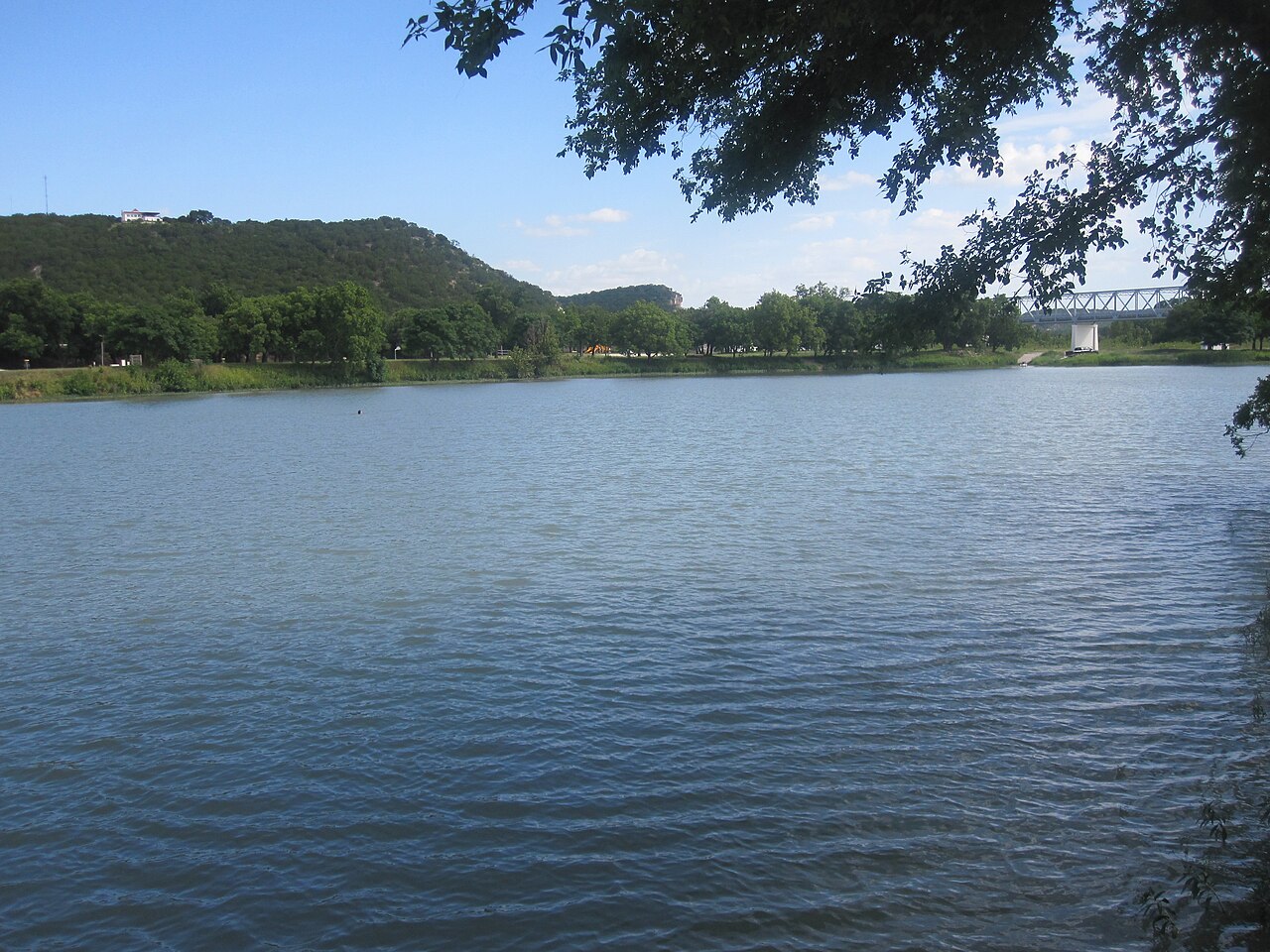
    Amistad National Recreation Area

    Plan boating, shoreline fishing and desert camping at the Rio Grande's international Amistad reservoir near Del Rio, where fluctuating water levels change boat-ramp access and NPS lake-use passes govern registered vessels.

    Best season: Fall through spring for mild weather; summer is very hotUpdated Oct 2026
    • Amistad Reservoir's desert-water scenery and boating
    • Ramp-by-ramp access subject to rapidly changing lake elevation
    • Distinct NPS Lake Use Pass requirement for registered vessels
    Explore this place
  • Blanco · Blanco County · Hill Country

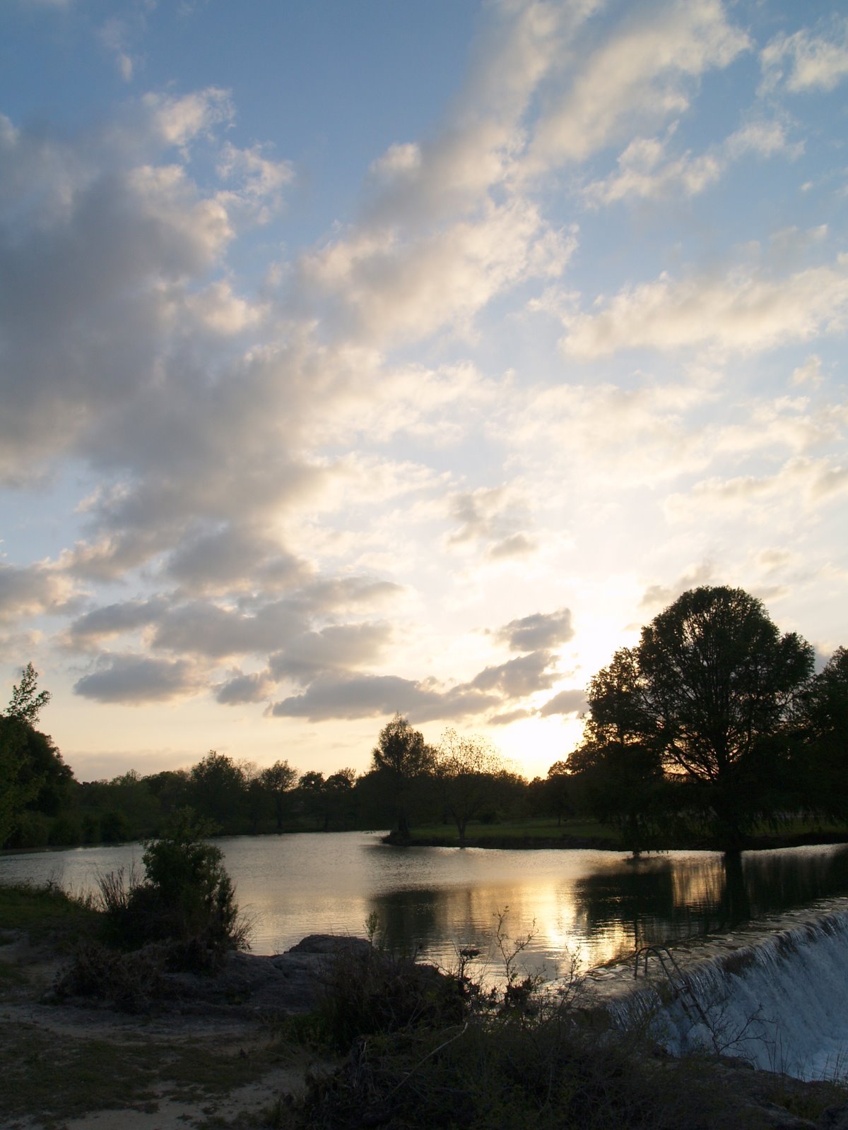
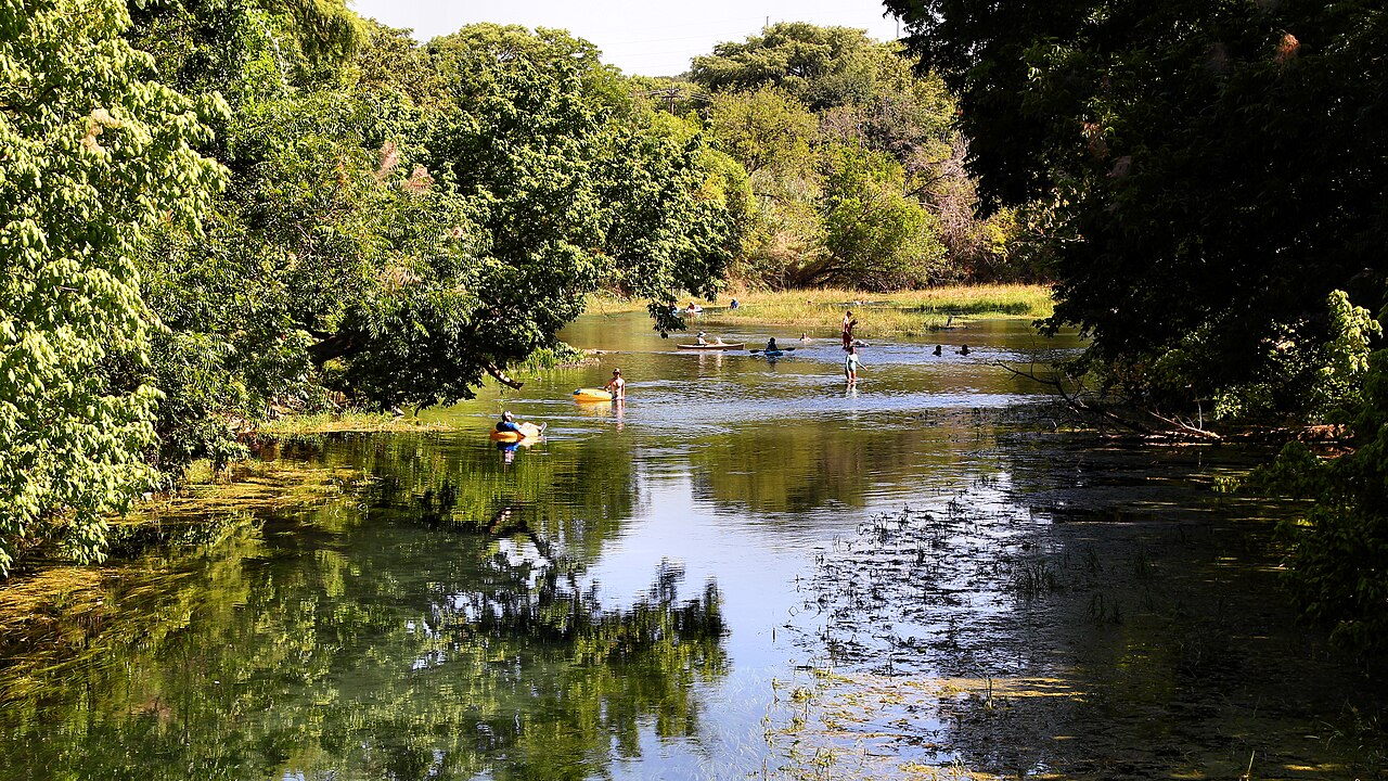
    Blanco State Park

    A small Hill Country park wrapped around a mile of the Blanco River, with limestone dams, swimming, fishing, paddling and shaded picnic areas within walking distance of downtown Blanco.

    Best season: Late spring through early fall for river time; fall and spring for picnics and fishing
    • Blanco River swimming and wading
    • Historic limestone river dams
    • Fishing and paddling
    Explore this place
  • Wimberley · Hill Country

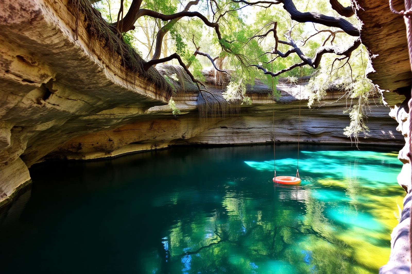
    Blue Hole, Wimberley

    A spring-fed swimming area on Cypress Creek inside Wimberley's Blue Hole Regional Park, shaded by mature cypress trees and managed through a seasonal reservation system that protects the experience from uncontrolled crowding.

    Best season: May through early September for reserved swimming; the surrounding regional park is open year-roundUpdated Aug 2026
    • Spring-fed Cypress Creek swimming beneath mature cypress trees
    • Reservation-controlled seasonal swim sessions
    • Shaded lawns and regional-park recreation outside the swim area
    Explore this place
  • Del Rio · Val Verde County · Big Bend Country

    Devils River State Natural Area

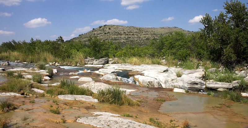
    A remote, exceptionally clear spring-fed river natural area in Southwest Texas with two reservation-only units—Del Norte and Dan A. Hughes—protecting rugged limestone canyon country and primitive backcountry access.

    Best season: Spring and fall for cooler backcountry travel; summer heat is severeUpdated Aug 2026
    • Del Norte Unit
    • Dan A. Hughes Unit
    • Clear spring-fed Devils River
    Explore this place
  • Spring Branch · Comal County · Hill Country

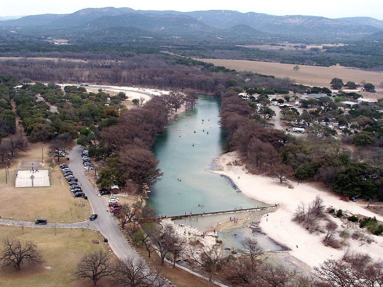
    Guadalupe River State Park

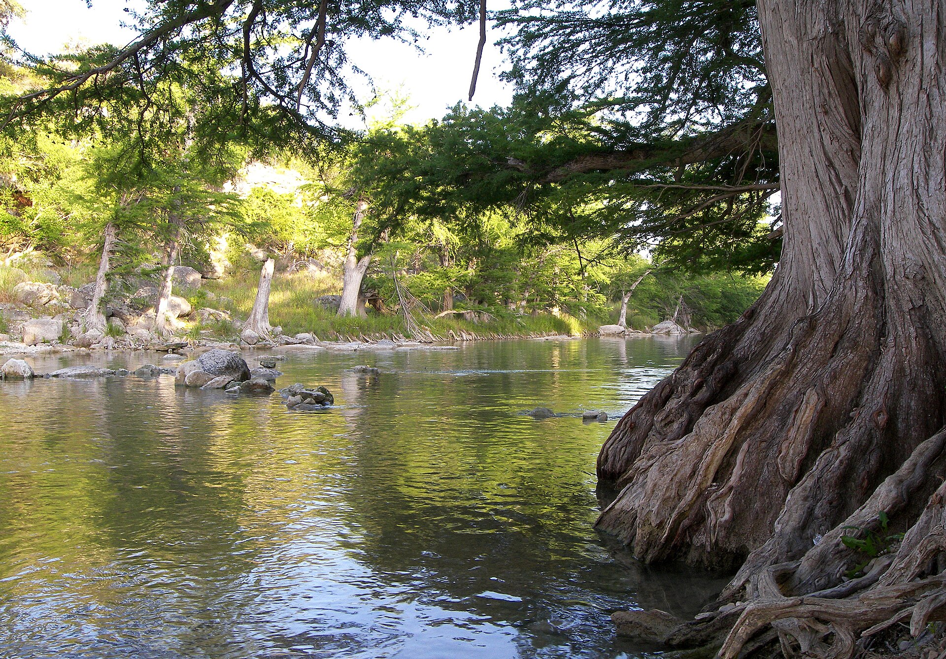
    Four miles of Guadalupe River frontage between San Antonio and the Hill Country, pairing cypress-lined swimming and paddling water with trails, camping and access to the protected Honey Creek landscape.

    Best season: Late spring through early fall for river time; fall through spring for comfortable hikingUpdated Oct 2026
    • Four miles of Guadalupe River frontage
    • Swimming, tubing, paddling and fishing when river conditions allow
    • Hill Country trails through prairie, oak woodland and river corridor
    Explore this place
  • Fritch · Hutchinson County · Panhandle Plains

    Lake Meredith National Recreation Area

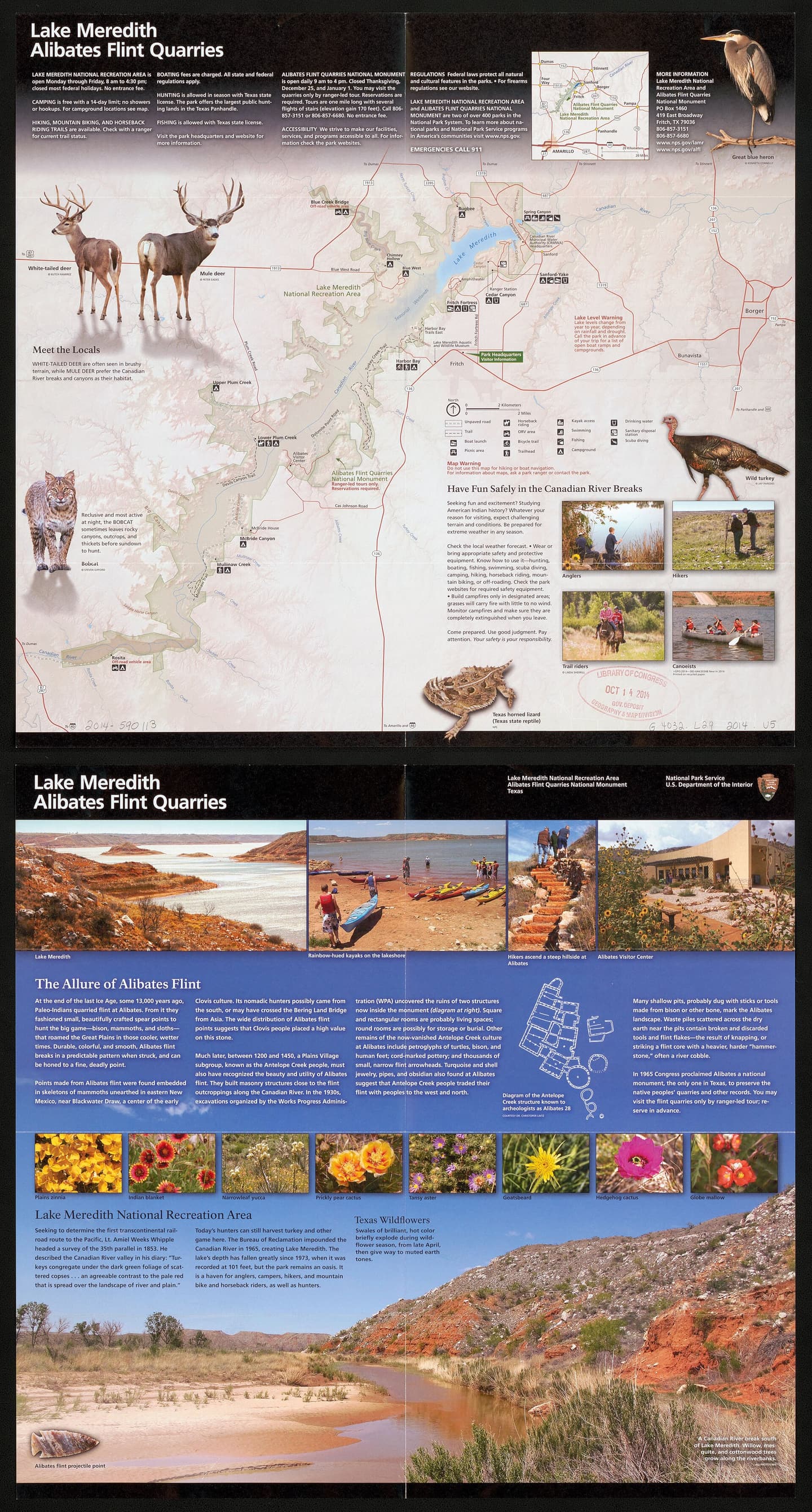
    Camp, boat and explore High Plains canyon country at Lake Meredith, with NPS first-come camping, a small reservable full-hookup section at Sanford-Yake and no assumed all-lake launch availability.

    Best season: Year-round; spring and fall are especially comfortable for hiking while summer favors water recreationUpdated Oct 2026
    • Canyon landscape and Lake Meredith shoreline access
    • Mostly free, first-come NPS camping areas
    • Ten specifically reservable Sanford-Yake electric/water RV sites
    Explore this place
  • Austin · Travis County · Prairies & Lakes

    McKinney Falls State Park

    An Austin state park where Onion Creek drops over broad limestone ledges at Upper and Lower Falls, with swimming holes, trails, camping and reminders of Central Texas history only minutes from the city.

    Best season: Spring and fall for hiking; swimming depends on current creek conditionsUpdated Oct 2026
    • Upper and Lower Falls on Onion Creek
    • Swimming and fishing when water conditions allow
    • Rock Shelter Trail and traces of early Central Texas settlement
    Explore this place
  • Johnson City · Blanco County · Hill Country

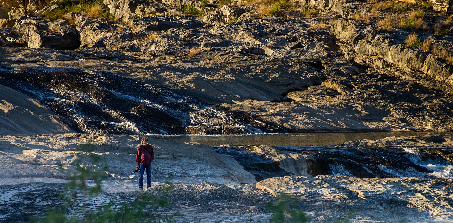
    Pedernales Falls State Park

    Thirty miles west of Austin, the Pedernales River pours across broad shelves of Hill Country limestone, creating a dramatic falls area plus separate places for swimming, hiking, camping and river access.

    Best season: Fall through spring for hiking; warm months are popular for swimming in designated river areasUpdated Oct 2026
    • Pedernales Falls overlook and limestone river terraces
    • Designated swimming and tubing access away from the falls area
    • Hill Country hiking and biking trails including Twin Falls Nature Trail
    Explore this place
  • Junction · Kimble County · Hill Country

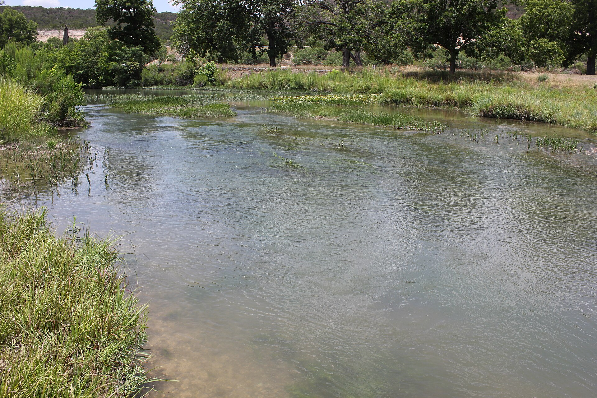
    South Llano River State Park

    A clear-river Hill Country park near Junction where swimming, tubing, paddling, turkey habitat, pecan bottomlands and miles of trails come together along the spring-fed South Llano River.

    Best season: Spring and fall for trails and river weather; summer for swimming and tubing with heat precautionsUpdated Sep 2026
    • South Llano River swimming and tubing
    • Multiple tuber put-in and take-out points
    • Paddling on the spring-fed river
    Explore this place
  • Lumberton · Hardin County · Piney Woods

    Village Creek State Park

    A quiet Big Thicket-area park near Lumberton where Village Creek winds through bottomland hardwoods and cypress, offering paddling, fishing, camping and shaded trails in humid Southeast Texas forest.

    Best season: Fall through spring for cooler trails and paddling weather
    • Paddling on scenic Village Creek
    • Bottomland hardwood and cypress forest
    • Fishing, camping and shaded nature trails
    Explore this place

More from this section

Stories, notes and dispatches

Freshwater swimming and the Texas coast are different trips

Looking for a Texas lake beach?

Explore a separately sourced guide to designated inland swimming beaches. We distinguish actual park swim beaches from lakes where swimming happens to be allowed, and link to managing agencies for current access and safety.

See verified Texas inland swimming beaches →

Lake-by-lake visitor planning

Two West Texas Lakes, Two Different Trips

Our detailed lake guides connect county history to fishing, camping, ramps, water levels and current agency notices. Check conditions before traveling, especially where drought affects access.

Lake Stamford · Haskell County

A Paint Creek reservoir with a noted crappie fishery, lakeside camping and named marina ramps. Water levels can change launch access.

Lake Sweetwater · Nolan County

Explore a historic municipal park and lakeside recreation area. Golden-alga impacts and prolonged low water currently make fishing and ramp verification essential.

Browse all completed Texas fishing lake guides →

TexasDefined Top 25

1 Top-25 attraction in Lakes & Rivers

These places are part of Texas Defined's statewide Top 25 collection. Each guide includes official source links, update history, trip-planning assessments, three itinerary options and a full nearby-area guide.

  1. Top 25 · #2

    San Antonio River Walk

    San Antonio's 15-mile river corridor links the famous below-street downtown promenade with the Museum Reach, Pearl and the Mission Reach, combining cypress-shaded walks, restaurants, public art, river cruises and some of the city's most important historic places.

Comparison guide

Compare Texas lakes and river destinations

Use the destination records to compare region, nearest town, season guidance, planning notes and recorded highlights. Always verify water conditions, access, fees and closures with the linked managing authority before a trip.

Swipe horizontally to see all comparison columns. Destination names link to full visitor guides.

Compare Texas lakes and river destinations. Compare planning information from maintained destination records; follow official links to verify current conditions.
DestinationRegion / nearest townBest-season noteRecorded highlightsPlanning noteSource
Amistad National Recreation AreaVal Verde Countybig bendNear Del RioFall through spring for mild weather; summer is very hot
Amistad Reservoir's desert-water scenery and boatingRamp-by-ramp access subject to rapidly changing lake elevationDistinct NPS Lake Use Pass requirement for registered vesselsFirst-come campgrounds around Del Rio and the reservoir
Do not assume a particular Amistad boat ramp is open: NPS updates operational statuses as reservoir levels shift. Motorized or Texas-registered vessels require an NPS Lake Use Pass. Most individual campsites are first-come/first-served, not ordinary reserved online sites.Official source ↗Checked 2026-10-17
Blanco State ParkBlanco Countyhill countryNear BlancoLate spring through early fall for river time; fall and spring for picnics and fishing
Blanco River swimming and wadingHistoric limestone river damsFishing and paddlingEasy access from downtown Blanco
River recreation depends on flow and water conditions. Check swimming notices and park alerts before arrival.Official source ↗
Blue Hole, Wimberleyhill countryNear WimberleyMay through early September for reserved swimming; the surrounding regional park is open year-round
Spring-fed Cypress Creek swimming beneath mature cypress treesReservation-controlled seasonal swim sessionsShaded lawns and regional-park recreation outside the swim areaEasy access from central Wimberley
The regional park is open daily, while swimming is seasonal and reservation-controlled. Confirm the current swim calendar, session availability and admission rules with Wimberley Parks & Recreation before traveling for a swim.Official source ↗Checked 2026-08-19
Caddo Lakepiney woodsNear UncertainFall through spring for paddling and birding; spring brings lush growth
Bald-cypress swampMarked paddling trails and boat roadsBirding and wildlifeUncertain and Karnack gateways
Navigation can be confusing away from marked boat roads. Check water, weather and paddling conditions and carry a reliable map or GPS.Official source ↗Checked 2026-08-19
Devils River State Natural AreaVal Verde Countybig bendNear Del RioSpring and fall for cooler backcountry travel; summer heat is severe
Del Norte UnitDan A. Hughes UnitClear spring-fed Devils RiverPermit-managed paddling and primitive camping
Reservations are required for either unit and no check-in is allowed after the posted gate deadline. Del Norte and Dan A. Hughes are separate locations; river trips may also require a Devils River Access Permit.Official source ↗Checked 2026-08-07
Guadalupe River State ParkComal Countyhill countryNear Spring BranchLate spring through early fall for river time; fall through spring for comfortable hiking
Four miles of Guadalupe River frontageSwimming, tubing, paddling and fishing when river conditions allowHill Country trails through prairie, oak woodland and river corridorGuided access to nearby Honey Creek State Natural Area
Wood and charcoal fires prohibited under August 21 ban; propane/containerized cooking stoves allowed. Bring drinking water, follow signed trails, and avoid full-park hunts November 20–24, 2026 and January 11–15, 2027.Official source ↗Checked 2026-10-17
Lake Meredith National Recreation AreaHutchinson CountypanhandleNear FritchYear-round; spring and fall are especially comfortable for hiking while summer favors water recreation
Canyon landscape and Lake Meredith shoreline accessMostly free, first-come NPS camping areasTen specifically reservable Sanford-Yake electric/water RV sitesNearby Alibates flint quarry tours requiring separate reservations
NPS lists most Lake Meredith camping free and first-come, with only 10 Sanford-Yake electric/water RV sites reservable for a fee by phone. Camping is limited to 14 consecutive days within 30 and 60 days per year. Boat and fire access needs current NPS checks.Official source ↗Checked 2026-10-17
McKinney Falls State ParkTravis Countyprairies lakesNear AustinSpring and fall for hiking; swimming depends on current creek conditions
Upper and Lower Falls on Onion CreekSwimming and fishing when water conditions allowRock Shelter Trail and traces of early Central Texas settlementCamping and easy access from Austin
Wood fires prohibited by August 11 TPWD burn ban, but charcoal and propane/containerized stoves permitted for cooking. Advance weekend day passes highly recommended; Onion Creek water can block trail crossings.Official source ↗Checked 2026-10-17
Pedernales Falls State ParkBlanco Countyhill countryNear Johnson CityFall through spring for hiking; warm months are popular for swimming in designated river areas
Pedernales Falls overlook and limestone river terracesDesignated swimming and tubing access away from the falls areaHill Country hiking and biking trails including Twin Falls Nature TrailCamping, birding, fishing and equestrian opportunities
Wood and charcoal fires banned; containerized fuel stoves allowed. Electric/water campground closes for construction beginning January 1, 2027; no reliable reopening date. Whole-park hunt closures November 21–24, December 13–17, January 18–22.Official source ↗Checked 2026-10-17
San Antonio River WalkBexar Countysouth texasNear San AntonioFall through spring for the most comfortable walking weather; summer is best early in the morning or after sunset, while the holiday season brings some of the River Walk's most recognizable evening lights
The classic below-street downtown river loop with cypress trees, stone bridges, restaurants and river cruisesMuseum Reach trail and public art extending north toward PearlMission Reach trails connecting the river corridor with San Antonio's Spanish colonial mission landscapeEasy walking connection between the River Walk, The Alamo and other downtown landmarksFifteen miles of connected riverfront experiences ranging from busy downtown patios to quieter hike-and-bike sections
The River Walk itself is a free public space. Downtown and Museum Reach are open 24 hours a day, while Mission Reach is open during daylight hours. River cruises, attractions, restaurants and special events have separate prices and schedules.Official source ↗Checked 2026-08-17
South Llano River State ParkKimble Countyhill countryNear JunctionSpring and fall for trails and river weather; summer for swimming and tubing with heat precautions
South Llano River swimming and tubingMultiple tuber put-in and take-out pointsPaddling on the spring-fed riverHiking, biking, camping and Rio Grande turkey habitat
River conditions and parts of the turkey-roost area can change access. Check current park alerts before a float; the park has multiple tuber put-in and take-out points and rents tubes when operations allow.Official source ↗Checked 2026-09-04
Village Creek State ParkHardin Countypiney woodsNear LumbertonFall through spring for cooler trails and paddling weather
Paddling on scenic Village CreekBottomland hardwood and cypress forestFishing, camping and shaded nature trailsConvenient access to the broader Big Thicket region
Creek levels and flooding can affect paddling and trails. Check current water and park conditions before traveling.Official source ↗

Sources & notes

Lake and river comparison sources and methodology

Sources

Methodology

Texas Defined compares only destinations returned by the canonical lakes-and-rivers category. Fields are taken directly from maintained destination records, while current access, water conditions, fees and closures remain delegated to the linked managing authority.

Last verified

Verification dates incomplete; check individual rows