
Lakes & Rivers
Llano River, Texas: South Llano, Junction, Castell, Fishing, Paddling & Camping
Compare the North and South Llano branches, Junction and South Llano River State Park with the main Llano near Mason, Llano and Kingsland; plan verified fishing, paddling and overnight visits.
The river at a glance
The Llano system is best understood as a set of related but distinct reaches. The South and North Llano rivers meet near Junction, the main Llano passes through Mason and Llano County, and downstream waters ultimately connect to the Highland Lakes system. A family swim at South Llano River State Park, a short paddle toward Junction and fishing near Kingsland are not one continuous trip. Access arrangements and safe water levels differ among them.
Choose the right stretch and build an itinerary
For a structured first visit, use South Llano River State Park near Junction. TPWD describes a designated South Llano paddling route with access at the state park, Flatrock Lane and Junction City Park; confirm which put-ins are open and note the park's specific bridge/portage warnings. For a main-stem experience, compare official TPWD leased-access listings near Castell and Kingsland; never assume every low-water crossing is a permitted parking lot or public campsite.
Officially documented access: an example to build from
South Llano Paddling Trail, Junction
TPWD maps 6.3 miles from South Llano River State Park (30.4498, -99.8128), via Flatrock Lane Crossing (30.4789, -99.7778), to Junction City Park (30.4879, -99.7617). Typical published float estimate is 2–4 hours. TPWD warns a bridge apron has collapsed at the park entrance: obey barricades and portage around the bridge as directed. Primary map or managing authority: https://tpwd.texas.gov/boating/paddling-trails/hill-country/south-llano/
Where you can legally enter, park and exit
TPWD's river-fishing access directory includes maps for Llano near Junction, Castell and Kingsland, and a separate South Llano route. Use those site-specific maps, park advisories and on-the-ground signage. A paid commercial RV park that offers state-leased fishing access may have separate rules for fishing visitors and overnight guests. Avoid treating a lease as permanent or applying its terms to adjoining private properties.
Tubing, kayaking and paddling: what actually works
The South Llano trail is described by TPWD as roughly six miles with several access options, but float times are estimates—not guarantees under drought, strong flow or obstruction conditions. The main Llano can have very different water depth and portage needs; verify the exact section rather than generalizing from the spring-fed South Llano. Look for low-water bridges, snags and upstream rain before launching.
Fishing: species, rules and responsible access
TPWD's South Llano material identifies Guadalupe and largemouth bass, sunfish and catfish. Fishing within state park boundaries has the usual state-park licensing exemption, but park-specific gear and protected-water rules may apply. Elsewhere check the state fishing license, species limits and local rules. Consider catch-and-release where native Guadalupe bass populations are under restoration efforts; verify site-specific programs instead of claiming all river reaches are managed identically.
Camping, RV sites and overnight lodging
South Llano River State Park is the most straightforward official camping base, with reservations and park notices that should be checked for the visit date. Other campgrounds and RV options near Junction, Mason, Llano and Kingsland vary in hookups, river frontage and overnight permission. A useful comparison asks whether the site is on the South Llano, North Llano, main river or a lake; those are not interchangeable locations.
Nearby attractions and a worthwhile second day
An outdoors-centered weekend can combine the state park's hiking, birding and stargazing with a short permitted paddle. Another itinerary follows small-town Llano and Mason heritage while stopping only at identified river access. Farther east, Kingsland connects to the Highland Lakes; distinguish lake recreation from free-flowing river stretches when suggesting boating or fishing.
Landscape, history and why this river matters
Limestone country, the broader Colorado basin and the North and South Llano forks shaped early routes and settlements across the region. The river corridor also supports riparian habitat for birds and native fish. Historical accounts of crossings and older public-access descriptions require modern verification because highways, property ownership and access leases can change.
Planning with children, facilities and accessibility
South Llano River State Park provides a more predictable place for first-time visitors to ask staff about river conditions, family float possibilities, camping and restrooms. Check the designated launch and take-out route, pack water and sun protection, and use life jackets. Avoid promising that shallow-looking crossings are safe for small children during release or flood conditions.
Trip checklist: verify these before leaving
- Identify the exact legal launch, exit, parking area, restroom and emergency meeting point for the chosen reach.
- Check same-day USGS observations, upstream rainfall, NWS warnings and managing-agency closures; no gauge reading is by itself a guarantee of safe entry.
- Verify TPWD's current fishing license rules, waterbody exceptions, fish-consumption advisories and invasive-species precautions.
- Confirm outfitters' shuttles, life jackets, group requirements, campsite access and posted rules for the visit date.
- Bring drinking water, protection from sun and cold, appropriate footwear and a pack-out plan; leave riparian and aquatic habitats undisturbed.
Frequently asked questions
Where do the North and South Llano meet?
They meet in the Junction area; guides should distinguish the branches from the downstream main Llano.
Can you paddle the South Llano?
TPWD maps a South Llano paddling trail; verify current bridge and access notices and river levels before launching.
Where can you camp?
South Llano River State Park offers official camping; private Junction- and Llano-area accommodations have their own rules.
Can you catch Guadalupe bass?
TPWD identifies Guadalupe bass in South Llano reaches. Check current license, catch limits and conservation information.
Is the whole Llano navigable year-round?
No. Flows and obstructions vary, and a route should never be labeled reliable year-round without current local evidence.
Primary sources and verification methodology
Editorial evidence review: October 12, 2026. Geography, access and recreation descriptions were compared with the primary parks, tourism or federal references linked below and Texas Parks and Wildlife Department's statewide river guidance. Operational status, prices, river flows and seasonal closures are NOT represented as live-verified; check the managing authority and gauges for your actual travel date. Do not mistake an editorial overview for a permit, current fishing-regulation determination, legal-access opinion, or flood clearance.
Recommended citation: TexasDefined.com, "Llano River, Texas: South Llano, Junction, Castell, Fishing, Paddling & Camping", research review October 12, 2026. The linked source record supports each named operator, park or documented location; unknown conditions are disclosed rather than guessed.
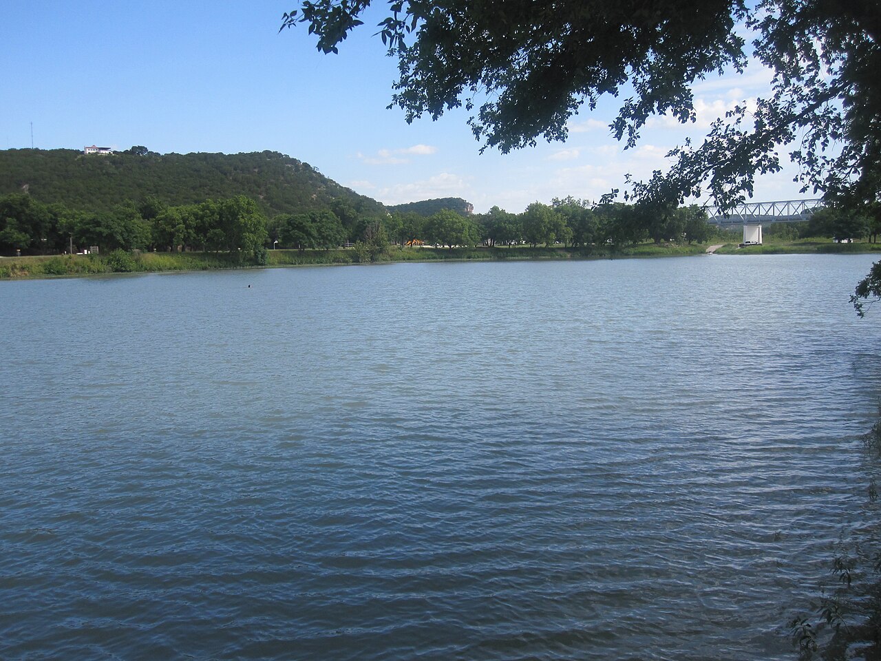
Image credit: Billy Hathorn · CC BY-SA 3.0 · Wikimedia Commons · https://commons.wikimedia.org/wiki/File:Llano_River_in_Junction,_TX_IMG_4345.JPG · License: https://creativecommons.org/licenses/by-sa/3.0/
Primary source: TPWD South Llano park ↗
Sources and further reading
From the magazine
More stories to read next
Lakes & Rivers
Rio Grande Wild and Scenic River in Texas: Canyons, River Permits and Trip Planning
October 17, 2026 · About 4 minutes
