Skip to content
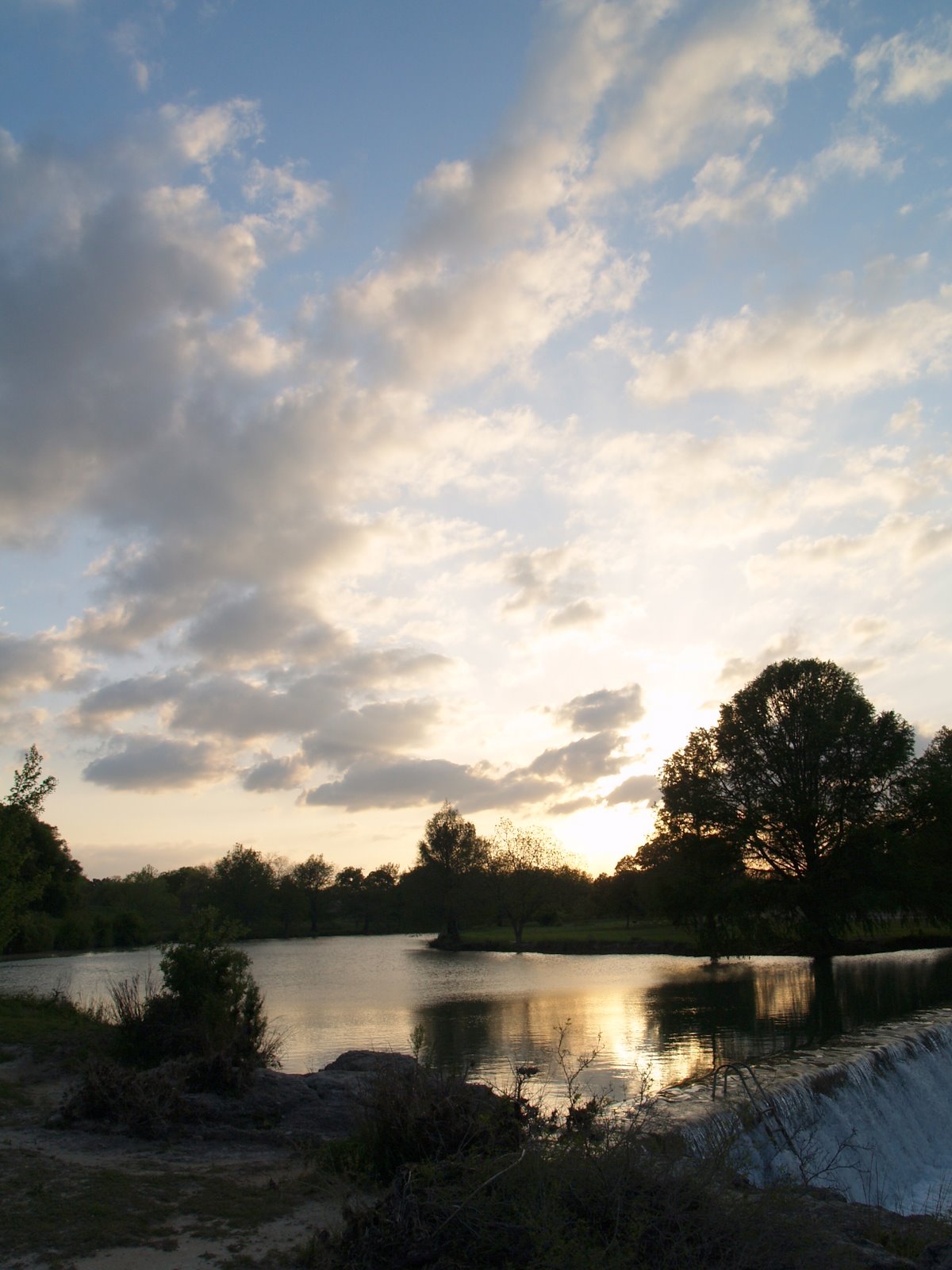
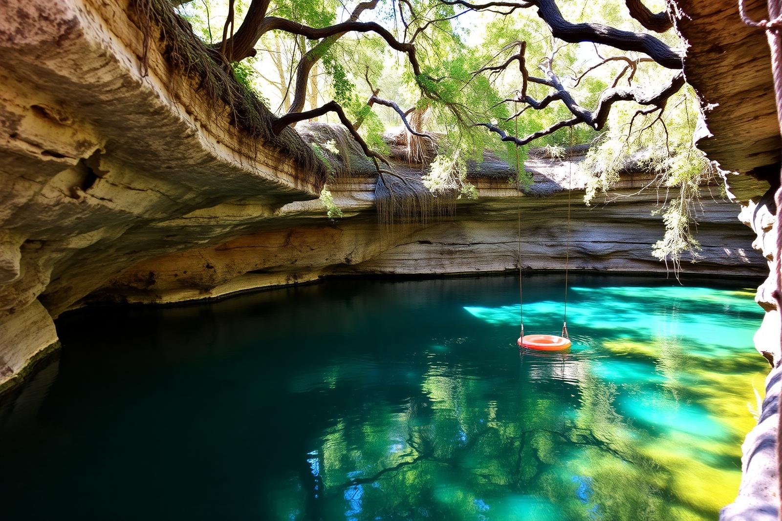
Cypress-shaded swimming water at Blue Hole in Wimberley, Texas

Swim & float

Swimming Holes & River Tubing

Texas swimming holes, spring-fed pools, tubing and float trips.

Texas swim & float field guide

Plan a Texas swimming-hole or river-tubing trip around access, flow and current conditions

Texas has spring-fed pools, clear Hill Country rivers, state-park swim areas and popular tubing corridors, but a safe day on the water depends on more than choosing a photogenic spot. Flow can change quickly after rain, drought can reduce usable water, access points can close, reservations can sell out and water quality can vary by watershed. Use this collection to discover places, then confirm same-day conditions with the agency or operator responsible for the exact site.

The float-trip starting points

Where to float: four different river experiences

A tubing river is not one continuous public float route. The entry point, exit, current rules and ride home differ by section and operator. These are places to begin your research, not promises that a reach is open or safe today. Follow each managing authority's latest posted information.

Comal River, New Braunfels

Start here
Prince Solms Park, 100 Liebscher, for the city's river access area. Confirm your actual tube chute and designated exit.
Access, fees and planning catch
City river parking is paid. Comal-specific flow thresholds can trigger restrictions or temporary closure. Read the official Comal River access and rules.

San Marcos River, San Marcos

Start here
Rio Vista Park, 555 Cheatham Street, is an identified river access point. The falls require particular care; choose a lawful exit and shuttle before launching.
Access, fees and planning catch
Rio Vista's 2026 summer managed-entry program charged certain out-of-area adult visitors on weekends and holidays. Check the city's current visitor rules before leaving.

Frio River, Concan and Garner

Start here
Garner State Park gives managed river access for swimming and floating; nearby Concan outfitters may offer different, longer routes.
Access, fees and planning catch
Garner day-use capacity is limited, and a park pass is not a private shuttle reservation. Check TPWD park alerts and reserve day use; arrange the separate commercial route directly.

How long does a float take? No one statewide duration is trustworthy: route length, upstream rain, regulated releases, shallow water, stopping time and operator exits change the answer. Ask the chosen outfitter for today's route and estimated duration before buying a ticket. A park swim is not interchangeable with a full tubing route.

Swimming, not necessarily tubing

Choose the water that fits your day

Blue Hole Regional Park, Wimberley

A designated, cypress-shaded swimming area rather than a downriver tubing route. The 2026 published swim season is over by October; the posted swim program begins in May and runs into September. Regular half-day swimming requires advance online reservations with no walk-up tickets; the separate residents-only Wimberley Nights program has first-come, first-served rules during its advertised season. Trails and the surrounding park operate separately. Check Wimberley's swim FAQ and published water-quality results before planning a future-season visit to 333 Blue Hole Lane.

Official Wimberley swimming reservations and season →

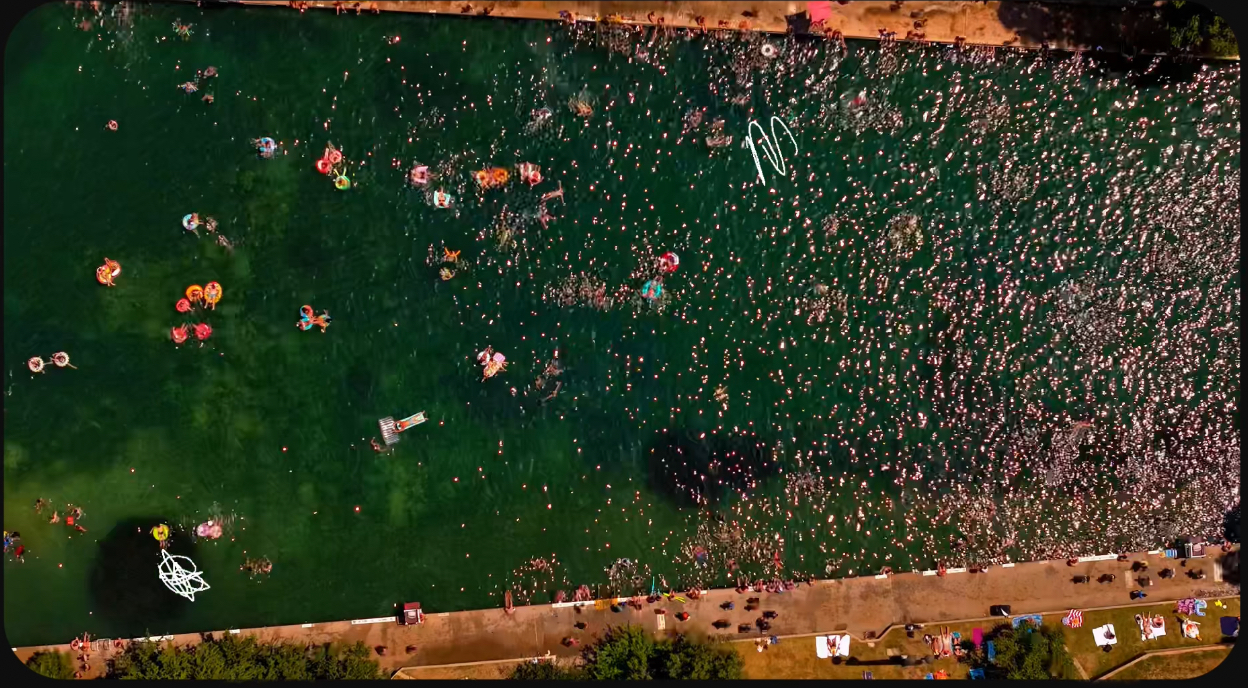
Barton Springs Pool, Austin

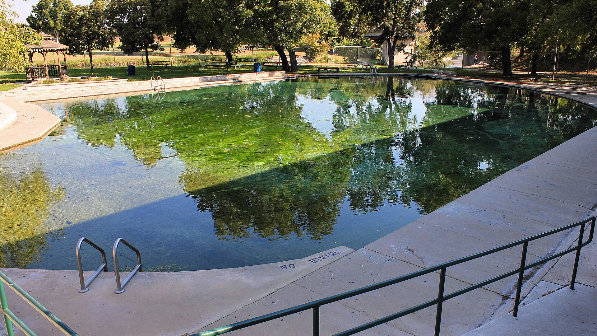
An established spring-fed city pool in Zilker Park. Published city hours include a Thursday cleaning closure; admission varies by age and residency. Use the city's ticket, accessibility and current-pool-notice information rather than river-tubing guidance.

Official hours and admission →

Blanco State Park

The Blanco River flows through a compact state park with riverside swimming and a shallow wading pool near Falls Dam. TPWD lists adult day entry at $5 and says to reserve passes in advance. The river can still be affected by rain and park alerts. TPWD posted a park-wide burn ban on October 16, 2026; it restricts wood and charcoal fires, not swimming. Check the current Blanco park alerts before bringing picnic cooking equipment.

Official park passes, map and swimming guidance →

Garner State Park

A managed Frio River swimming destination with hikes and overnight options. TPWD currently lists an $8 daily entry fee for visitors age 13 and up and recommends reservations, especially in busy season. Tubing outside park boundaries has different access and transport needs.

Official Garner State Park planning →

The Comal River passing through Landa Park, New Braunfels
Comal River · Larry D. Moore, CC BY 4.0, Wikimedia Commons.
San Marcos River with visitors enjoying the water
San Marcos River (2023) · Larry D. Moore, CC BY 4.0, Wikimedia Commons.
The Frio River and swimming area seen from above at Garner State Park, Texas
Frio River at Garner State Park (2006) · Larry D. Moore, CC BY 4.0, Wikimedia Commons.

Photographs show the named locations, not live river depth, open access or current swimming conditions.

Known restrictions checked October 17, 2026

A park can be open even when its water is closed

Do not plan a swim at Abilene State Park right now. TPWD's published notice prohibits swimming in Lake Abilene because of low water. Its historic swimming pool is separately closed for renovations. The park remains a destination for other activities, but it is excluded from this swimming-specific collection until the restrictions are lifted. Check TPWD's current lake alerts and pool closure notice.

Hamilton Pool Preserve is not an open swimming hole. Current municipal visitor guidance says swimming is not permitted because falling rocks pose a hazard. A reservation is for entry and sightseeing, not permission to swim; the preserve is therefore excluded from the swimming-and-tubing destination collection while the restriction remains in effect. Check the official municipal visitor notice and the Travis County preserve manager before visiting.

Caprock Canyons: do not use Lake Theo's closed marked swim area. TPWD's April 10, 2026 alert says low lake levels closed the marked swimming area, boat ramp and fishing pier. The park says swimming elsewhere in the lake remains permitted, but check approved shore access with park staff rather than entering a closed facility. Read TPWD's current Lake Theo alert.

Pedernales Falls has a no-swimming zone at the falls. TPWD allows swimming, wading and tubing only in other suitable river sections, not at the falls themselves. The designated swimming area involves a steep trail; flash floods can raise river levels without local rainfall. Check the state park's swimming rules and river safety guidance.

Lake Tawakoni will close for a permitted youth deer hunt October 30–November 2, 2026. TPWD says the entire state park—including its boat ramp, trails and swimming access—will close to the general public at noon October 30 and reopen at noon November 2. Do not plan a swim or lake launch through the park during that window. Verify dates on the official state park events calendar.

Fort Boggy has separate whole-park hunting closures later this fall. TPWD's current park alert closes regular visitor access from noon November 15 to 2 p.m. November 20 and from noon November 29 to 2 p.m. December 4, 2026 (with another January 2027 closure). Outside those windows its Sullivan Lake swimming access is a separate question from the partially closed Lake Trail. See current TPWD Fort Boggy alerts.

Krause Springs normally closes for the winter. Its operator FAQ says the privately run swimming property usually closes around November 1 and reopens around February 15; these are typical dates, not a verified closure announcement for a specific year. Confirm whether the pools are accepting visitors before traveling after October. Read the operator's seasonal FAQ.

TPWD's statewide swimming inventory lists possible activities, not a guarantee they are currently available. Some sites allow shoreline swimming, some operate a seasonal pool, and others are affected by drought or flood restrictions. The official destination notice takes precedence over any statewide list, photo or recommendation here.

The five questions to answer before you drive

  1. Is the specific swim area or float reach open today, including any same-day flood, drought or water-quality warning?
  2. Where exactly do you park, enter and exit? Are those public access points, and do fees or time slots apply?
  3. For a river float, is a shuttle operating today and which route will it use?
  4. What are current river flow, weather and upstream rain conditions? Do not assume the river is calm because the launch looks calm.
  5. Does the trip suit the least experienced swimmer in the group, including PFD requirements and unsupervised water?

Specific visitor information reviewed against city, Wimberley Parks and TPWD pages October 17, 2026; prices, access rules, advisories and closures may change after review.

Start by separating swimming holes from tubing corridors

A swimming-hole trip is usually organized around one access point: a spring-fed pool, state-park shoreline, creek reach or designated swim area. A tubing trip is linear. You need a legal put-in, a legal take-out, a realistic float time and a transportation plan between the two. Treating those two trip types as interchangeable is one of the easiest ways to build a bad itinerary.

For swimming, look first at hours, reservations, capacity limits, depth, current restrictions and whether lifeguards are present. For tubing, add river flow, distance, shuttle logistics, tube-rental rules, cooler restrictions and the possibility that a normally easy reach becomes faster or more difficult after rain. Texas Parks and Wildlife's river and paddling resources are a useful statewide starting point because they connect public access information with river conditions and designated routes.

River flow can change the entire trip

The same river can feel slow and shallow one week and fast enough to overwhelm an inexperienced group after upstream rain. Water may rise even when the weather at the launch point looks clear. Conversely, prolonged dry weather can expose rock, lengthen float times or make a commercial tubing segment impractical. The least experienced person in the group should set the standard for what conditions are acceptable.

Check current weather and river information before leaving home and again before getting on the water. If the route depends on a livery or shuttle operator, confirm that the operator is running that day and ask what current conditions mean for the expected float time. Do not use an old social-media video, a previous summer's trip report or a scenic photo as evidence that current flow is safe.

Public access is specific to the launch, bank or park

A river may be navigable without every convenient roadside bank being open to the public. Parking, launch access and the ability to cross private land are separate questions. Texas Parks and Wildlife maintains public-boater and leased-river-access information, while cities, state parks, counties and private outfitters control many of the practical access points used by swimmers and tubers.

Know exactly where the group will enter and leave the water before the trip starts. Confirm where vehicles may remain, whether parking requires a reservation or fee, whether the gate closes at a certain hour and whether a shuttle must be booked. If the plan relies on one access point, identify a legal backup. Never treat an undeveloped bank, fence opening or bridge shoulder as public access simply because other people have used it.

Water quality deserves a separate check

Clear water is not automatically clean water. Recent runoff, bacteria, harmful algal blooms, wastewater incidents and flooding can change recreational conditions quickly. The Texas Commission on Environmental Quality coordinates statewide surface-water monitoring through programs such as the Clean Rivers Program, while local river authorities and park managers may post more immediate advisories for a specific reach.

Check the managing agency's latest notices before swimming, especially after heavy rain or during unusual heat and drought. Avoid swallowing natural water, cover open cuts and keep children and pets away from water covered by unusual scum or discoloration. If an official advisory says a site is closed or unsuitable for swimming, choose another stop rather than assuming conditions are acceptable because people are still present.

Heat, sun and cold spring water can all matter on the same day

Texas summer water trips often combine high air temperatures, strong sun and hours of exposure with surprisingly cool spring-fed water. Dehydration and sunburn can develop while a group is floating, and cold water can affect a weak swimmer faster than expected. Bring more drinking water than the group expects to need, use sun protection and take breaks in shade when available.

Wear a properly fitted personal flotation device when the conditions, age or swimming ability call for one, and follow any site-specific rules. Foot protection can help on rocky or slippery entries. Do not dive or jump into unfamiliar water without verified depth and hazard information. Lightning, flash-flood risk and extreme heat should be treated as reasons to change the plan, not as inconveniences to work around.

Build the day around one water anchor instead of chasing a checklist

A stronger Texas water itinerary usually has one primary swimming or tubing stop and a few nearby additions rather than several distant water stops. In the Hill Country, that might mean pairing a spring-fed river with a small town, a short hike or a state park. In Central Texas, a morning swim can be followed by food and shade instead of another hour in the car. On popular summer weekends, leaving extra time for parking and capacity limits is more useful than packing in another attraction.

Use the Texas springs guide when the trip centers on spring-fed water, the Texas lakes and rivers guide for broader water planning, and the Texas state parks collection for managed public-land access. If the water stop is one piece of a longer drive, connect it to Texas road trips or the Texas Trip Planner.

What to verify the morning of the trip

Recheck the official page for closures, capacity limits and reservation requirements. Check the weather upstream as well as at the destination. Confirm the expected flow, the legal access points and the approximate time between put-in and take-out. Make sure the group has drinking water, sun protection, appropriate flotation, dry storage for phones and keys, and a transportation plan that still works if the float takes longer than expected.

For commercial tubing corridors, confirm the operator's current route, shuttle hours and equipment rules. For public parks, verify entry reservations and closing times. Conditions can change after this guide is published, so Texas Defined uses official agencies as the controlling source for same-day access, safety and water-condition decisions.

The field guide

Swim & float, mapped

41 places in the Texas Defined guide, with the details you need to choose where to go next.

41 places in this guide

  • Bandera · Bandera County · Hill Country

    Bandera

    Bandera is a Medina River town whose ranching, rodeo and trail-riding culture, limestone courthouse, frontier museums and nearby Hill Country public land make the self-styled Cowboy Capital of the World more than a Western-theme stop.

    Best season: Fall through spring for town walking and riding; warm months add Medina River swimming and paddling when water conditions allowUpdated Sep 2026
    • cowboy heritage
    • Bandera County Courthouse
    • Frontier Times Museum
    Explore this place
  • Del Rio · Val Verde County · Big Bend Country

    Amistad National Recreation Area

    Plan boating, shoreline fishing and desert camping at the Rio Grande's international Amistad reservoir near Del Rio, where fluctuating water levels change boat-ramp access and NPS lake-use passes govern registered vessels.

    Best season: Fall through spring for mild weather; summer is very hotUpdated Oct 2026
    • Amistad Reservoir's desert-water scenery and boating
    • Ramp-by-ramp access subject to rapidly changing lake elevation
    • Distinct NPS Lake Use Pass requirement for registered vessels
    Explore this place
  • Atlanta · Cass County · Piney Woods

    Atlanta State Park

    A wooded Northeast Texas park on Wright Patman Lake, combining tall pines, hardwood forest, swimming, fishing, paddling and lakeside camping near Texarkana.

    Best season: Spring and fall for camping and trails; summer is popular for lake recreationUpdated Oct 2026
    • Wright Patman Lake fishing and two park boat ramps
    • 4.8 miles of hiking trails through pine and hardwood
    • 58 reservable campsites in three named camping areas
    Explore this place
  • Balmorhea · Reeves County · Big Bend Country

    Balmorhea State Park

    A West Texas oasis built around San Solomon Springs and the world’s largest spring-fed swimming pool, where clear 72-to-76-degree water fills a historic CCC-era park in the desert.

    Best season: Year-round for the spring-fed pool; summer is busiest, while spring and fall pair swimming with milder desert weatherUpdated Oct 2026
    • Clear spring-fed San Solomon Springs pool and desert setting
    • No lifeguard: supervised swimming, 25-foot depth and seasonal closing rules
    • Separate advance-access requirements for scuba divers
    Explore this place
  • Austin · Travis County · Prairies & Lakes

    Barton Springs Pool

    Austin's landmark spring-fed swimming pool in Zilker Park, supplied by the Edwards Aquifer and holding near 68–70 degrees year-round beneath limestone slopes and mature pecan trees.

    Best season: Year-round, with summer the busiest season and cooler mornings quieter
    • Spring-fed year-round swimming
    • Zilker Park setting
    • Edwards Aquifer springs
    Explore this place
  • Blanco · Blanco County · Hill Country

    Blanco State Park

    A small Hill Country park wrapped around a mile of the Blanco River, with limestone dams, swimming, fishing, paddling and shaded picnic areas within walking distance of downtown Blanco.

    Best season: Late spring through early fall for river time; fall and spring for picnics and fishing
    • Blanco River swimming and wading
    • Historic limestone river dams
    • Fishing and paddling
    Explore this place
  • Wimberley · Hill Country

    Blue Hole, Wimberley

    A spring-fed swimming area on Cypress Creek inside Wimberley's Blue Hole Regional Park, shaded by mature cypress trees and managed through a seasonal reservation system that protects the experience from uncontrolled crowding.

    Best season: May through early September for reserved swimming; the surrounding regional park is open year-roundUpdated Aug 2026
    • Spring-fed Cypress Creek swimming beneath mature cypress trees
    • Reservation-controlled seasonal swim sessions
    • Shaded lawns and regional-park recreation outside the swim area
    Explore this place
  • Bonham · Fannin County · Prairies & Lakes

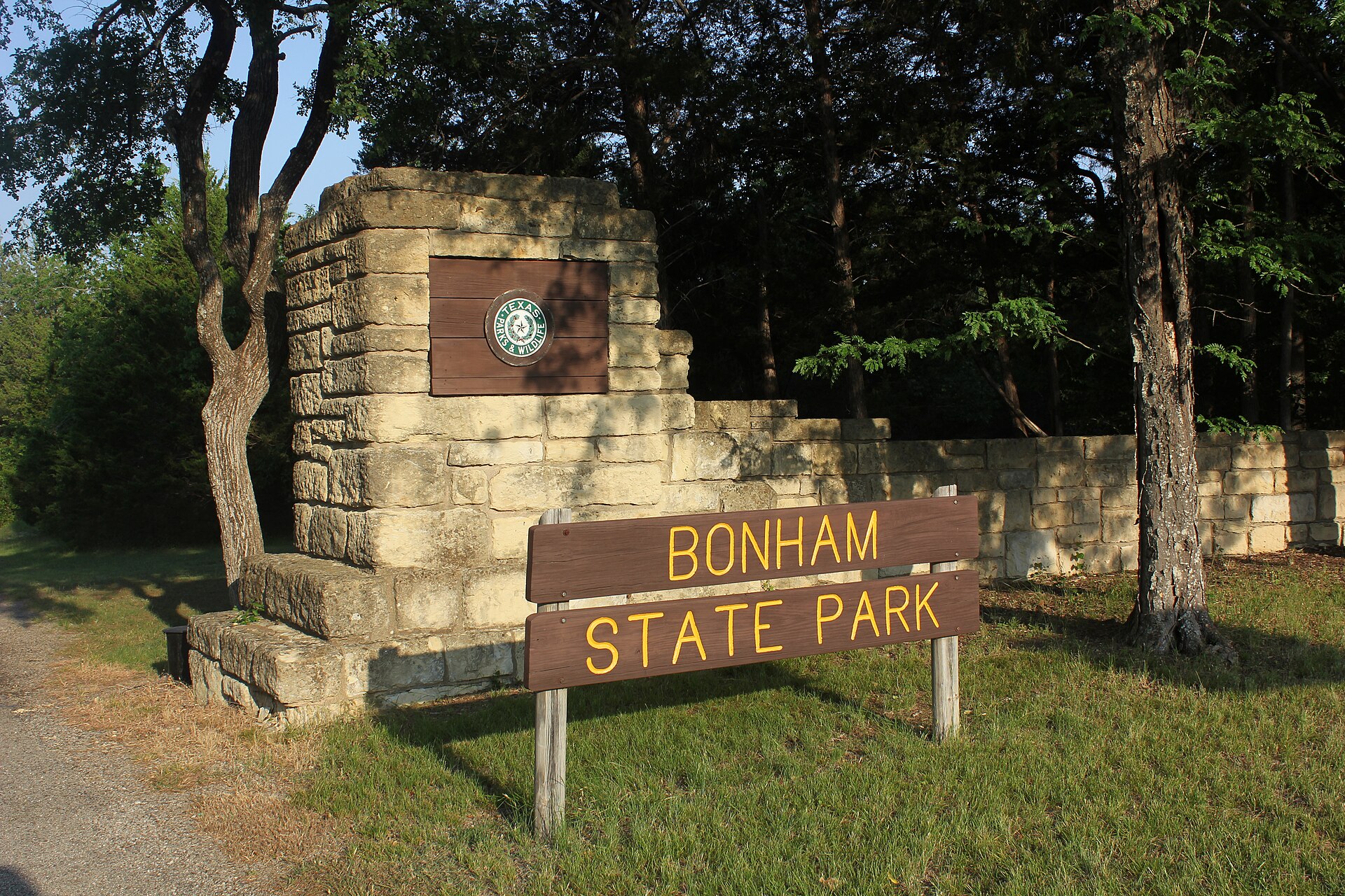
    Bonham State Park

    A compact North Texas park built by the Civilian Conservation Corps around a small lake, with wooded trails, paddling, fishing and historic stone-and-timber structures northeast of Dallas.

    Best season: Fall through spring for trails and picnics; warm months suit paddling and swimming when openUpdated Oct 2026
    • 65-acre Bonham State Park Lake with 5-mph boat limit
    • 8.75 miles of hiking and mountain biking trails
    • Civilian Conservation Corps history and preserved park landscape
    Explore this place
  • Quitaque · Briscoe County · Panhandle Plains

    Caprock Canyons State Park & Trailway

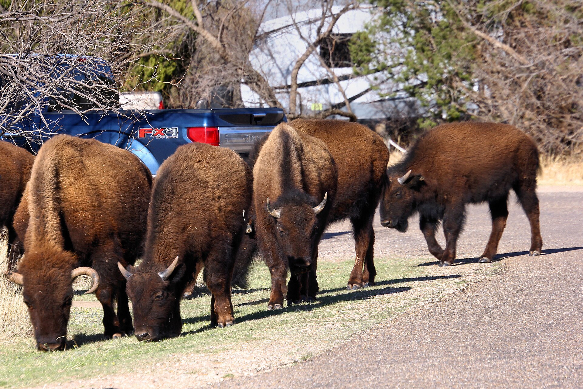
    Red-rock canyon country beneath the Caprock Escarpment, home to the official Texas State Bison Herd, Lake Theo and a trail network that connects with a long converted-rail Trailway across the Panhandle.

    Best season: Spring and fall for hiking and biking; summer heat can be severeUpdated Oct 2026
    • Free-ranging Texas State Bison Herd; stay at least 50 yards away
    • Redrock canyon hikes and the separate Caprock Trailway
    • Lake Theo swimming and water recreation subject to level and access
    Explore this place
  • Cedar Hill · Dallas County · Prairies & Lakes

    Cedar Hill State Park

    A large Dallas-area park on Joe Pool Lake with limestone-and-prairie trails, swimming, fishing, mountain biking and the preserved Penn Farm agricultural landscape.

    Best season: Fall through spring for trails; summer for lake recreation with heat precautionsUpdated Oct 2026
    • Joe Pool Lake
    • Penn Farm Agricultural History Center
    • Mountain biking and hiking
    Explore this place
  • Three Rivers · McMullen County · South Texas Plains

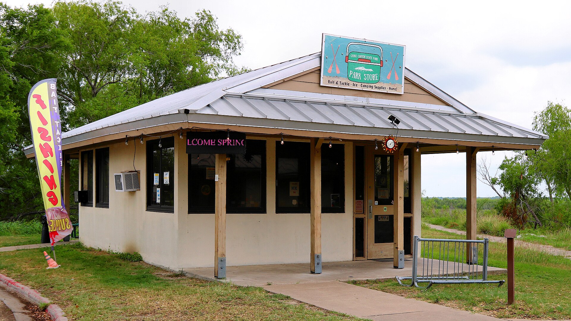
    Choke Canyon State Park

    A South Texas reservoir state park with two separate public units: full-service Calliham for camping and broader park facilities, and day-use South Shore for boating, fishing and birding.

    Best season: Fall through spring for birding, camping and comfortable shore time; fishing remains popular year-roundUpdated Sep 2026
    • Calliham Unit camping, cabins and recreation
    • South Shore day-use fishing, boating and birding
    • Choke Canyon Reservoir fishing
    Explore this place
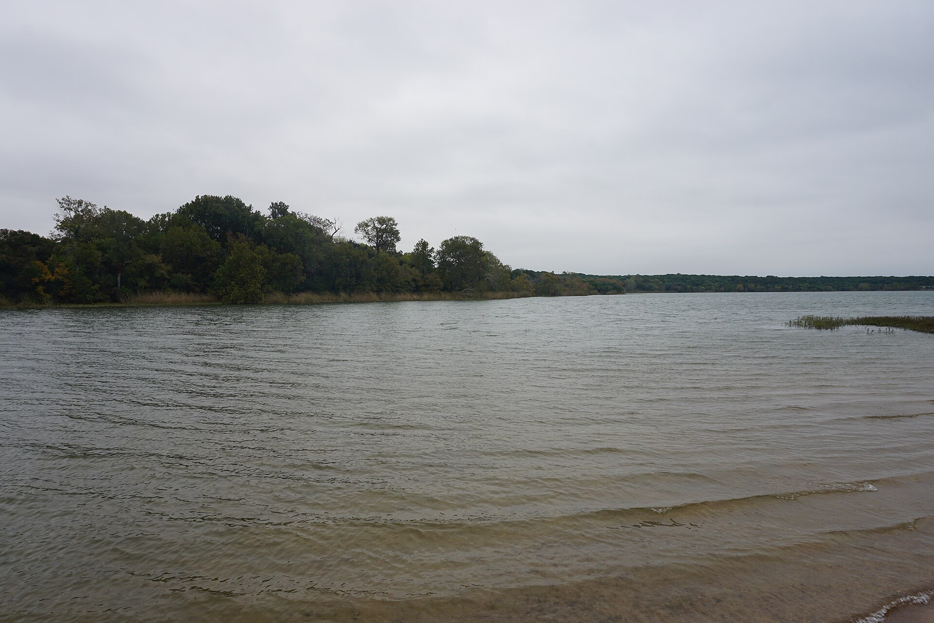
  • Cleburne · Johnson County · Prairies & Lakes

    Cleburne State Park

    A compact limestone park southwest of Fort Worth centered on spring-fed Cedar Lake, with CCC stonework, wooded trails, fishing, paddling and camping.

    Best season: Fall through spring for trails; warm months for lake recreation
    • Spring-fed Cedar Lake
    • CCC stone structures
    • Hiking and mountain biking
    Explore this place
  • Bend · San Saba County · Hill Country

    Colorado Bend State Park

    A rugged Colorado River park northwest of Austin with 70-foot Gorman Falls, spring-fed pools, cave tours and more than 35 miles of hike-and-bike trails through limestone canyon country.

    Best season: Fall through spring for hiking; spring flow and recent rainfall can affect waterfalls and poolsUpdated Oct 2026
    • Gorman Falls: protected fragile travertine, no swimming or climbing
    • Spicewood Springs: separate designated swimming area
    • Backcountry and riverside campground equipment limits
    Explore this place
  • Cooper · Hopkins County · Piney Woods

    Cooper Lake State Park

    A Northeast Texas lake park 90 minutes from Dallas with two active units—Doctors Creek on the north shore and South Sulphur on the south—offering fishing, swimming, trails, camping and cabins around Jim Chapman Lake.

    Best season: Spring through fall for lake recreation; cooler months for hiking, riding and campingUpdated Oct 2026
    • Two separate gates: Doctors Creek and South Sulphur
    • Jim Chapman Lake fishing, paddling and swimming
    • South Sulphur's 10.5-mile Buggy Whip Equestrian Trail
    Explore this place
  • Daingerfield · Morris County · Piney Woods

    Daingerfield State Park

    A small East Texas park wrapped around an 80-acre lake, with tall pines, hardwood forest, paddling, fishing, swimming and one of the state's classic CCC landscapes.

    Best season: Fall through spring for trails and camping; summer for swimmingUpdated Oct 2026
    • 74-acre Little Pine Lake for paddling and fishing
    • 2.4-mile Rustling Leaves loop and 0.8-mile Mountain View Trail
    • CCC-built Bass Lodge, group hall and pavilion
    Explore this place
  • Glen Rose · Somervell County · Prairies & Lakes

    Dinosaur Valley State Park

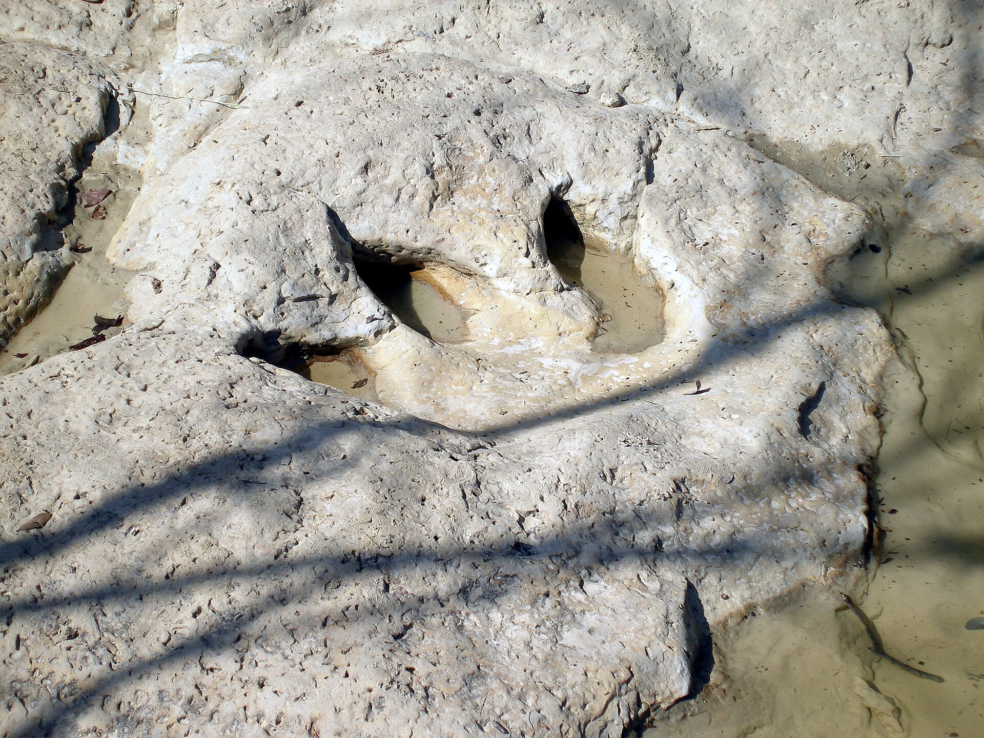
    A Paluxy River park near Glen Rose where 113-million-year-old dinosaur tracks appear in the limestone riverbed, backed by more than 20 miles of trails through rugged North Texas terrain.

    Best season: Spring and fall for hiking; track visibility depends on Paluxy River levelsUpdated Oct 2026
    • Main Track Site and Ballroom Track Site in the Paluxy River bed
    • Tracks from sauropods and Acrocanthosaurus preserved in limestone
    • More than 20 miles of hiking and biking trails
    Explore this place
  • Denison · Grayson County · Prairies & Lakes

    Eisenhower State Park

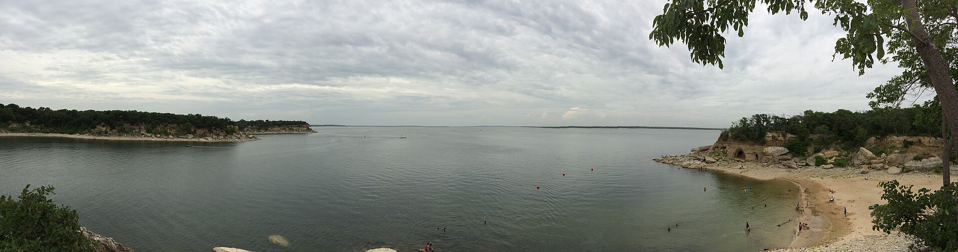
    A rugged Lake Texoma park near Denison with high bluffs, coves, shoreline trails, fishing, boating and camping along one of the region's largest reservoirs.

    Best season: Fall through spring for trails; warm months for boating and swimmingUpdated Oct 2026
    • Lake Texoma bluffs
    • Boating and fishing
    • Rocky shoreline trails
    Explore this place
  • Concan · Uvalde County · Hill Country

    Garner State Park

    A Hill Country favorite on the Frio River, where limestone hills, cypress-lined water, Old Baldy and the park’s long-running summer dances make the destination as social as it is scenic.

    Best season: Late spring through early fall for river time; fall and winter are quieter for hiking
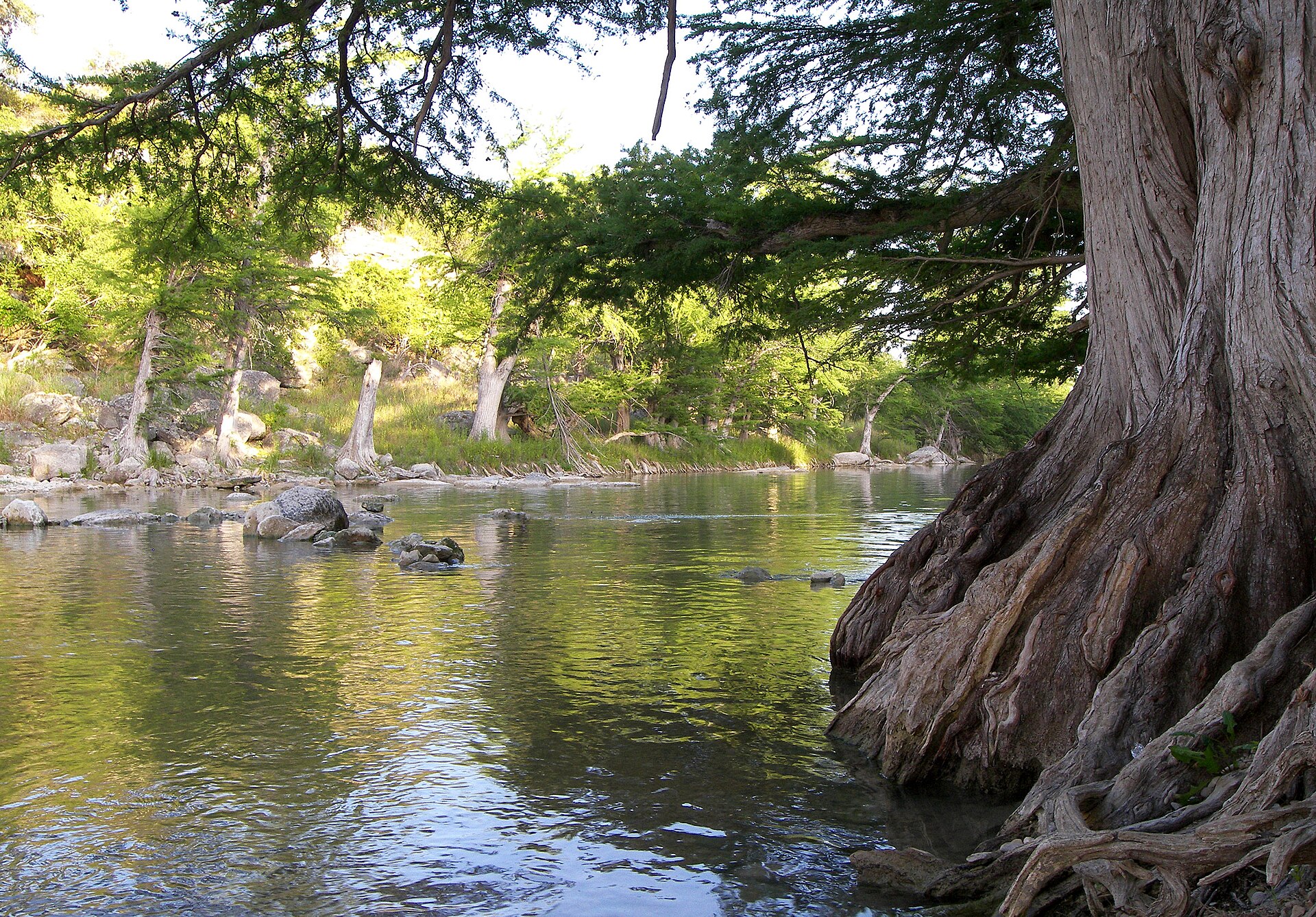
    • Frio River swimming, tubing and paddling beneath bald cypress trees
    • Old Baldy and Hill Country overlooks above the river valley
    • Summer evening dances, a Garner tradition dating back generations
    Explore this place
  • Spring Branch · Comal County · Hill Country

    Guadalupe River State Park

    Four miles of Guadalupe River frontage between San Antonio and the Hill Country, pairing cypress-lined swimming and paddling water with trails, camping and access to the protected Honey Creek landscape.

    Best season: Late spring through early fall for river time; fall through spring for comfortable hikingUpdated Oct 2026
    • Four miles of Guadalupe River frontage
    • Swimming, tubing, paddling and fishing when river conditions allow
    • Hill Country trails through prairie, oak woodland and river corridor
    Explore this place
  • Lampasas · Lampasas County · Hill Country

    Hancock Springs Park

    A historic spring-fed city park in Lampasas built around one of Texas' oldest continuously used public swimming pools, with cool artesian water, mature shade and a strong connection to the town's mineral-springs history.

    Best season: Late spring through summer for swimming; spring and fall for a quieter park visitUpdated Aug 2026
    • Spring-fed Hancock Springs Pool
    • Historic Lampasas mineral-springs setting
    • Picnic, playground and park facilities
    Explore this place
  • Huntsville · Walker County · Piney Woods

    Huntsville State Park

    A Piney Woods park north of Houston centered on Lake Raven, with fishing, paddling, swimming, forest trails and camping beneath tall East Texas pines.

    Best season: Fall through spring for trails and camping; summer for lake recreationUpdated Oct 2026
    • Lake Raven
    • Pine forest trails
    • Fishing and paddling
    Explore this place
  • Burnet · Burnet County · Hill Country

    Inks Lake State Park

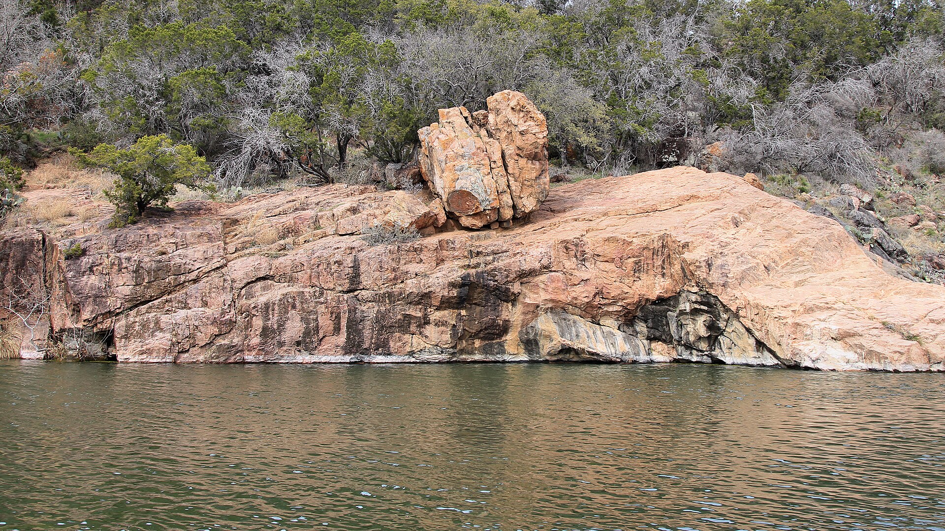
    A constant-level Highland Lakes park northwest of Austin with pink granite outcrops, more than 12 miles of trails and the popular Devil’s Waterhole swimming and paddling area.

    Best season: Spring through fall for water activities; cooler months are excellent for hiking and campingUpdated Oct 2026
    • Inks Lake swimming, paddling and shoreline recreation
    • Devils Waterhole and mapped Hill Country hiking
    • Developed campsites with distinct electrical and vehicle restrictions
    Explore this place
  • Spicewood · Burnet County · Hill Country

    Krause Springs

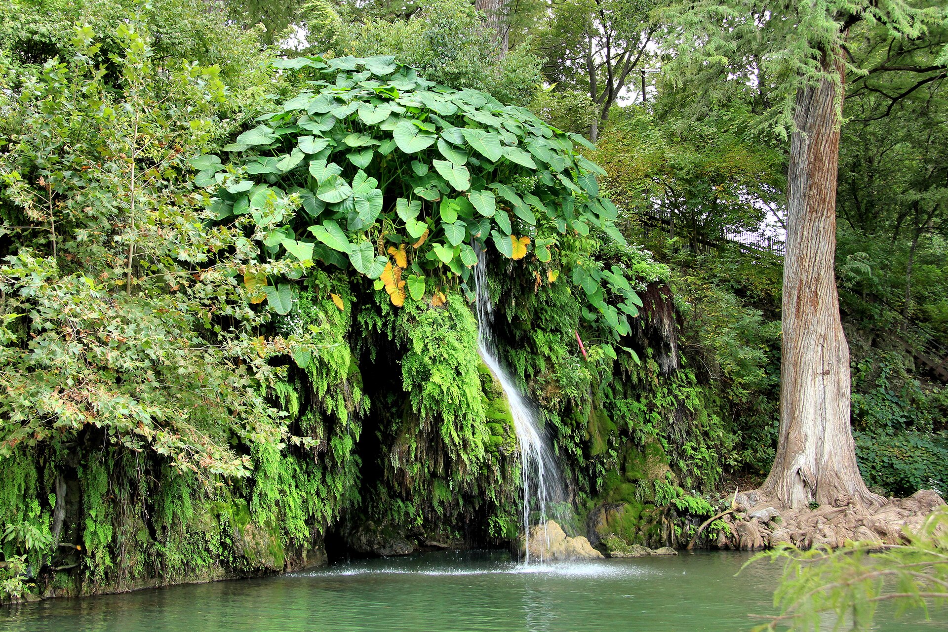
    A privately operated Hill Country swimming destination near Spicewood with spring-fed pools, a small waterfall, cypress trees, gardens and camping on a family-owned property.

    Best season: Late spring through early fall for swimmingUpdated Oct 2026
    • Spring-fed swimming pool
    • Natural swimming hole and waterfall
    • Cypress-shaded grounds
    Explore this place
  • Pittsburg · Titus County · Piney Woods

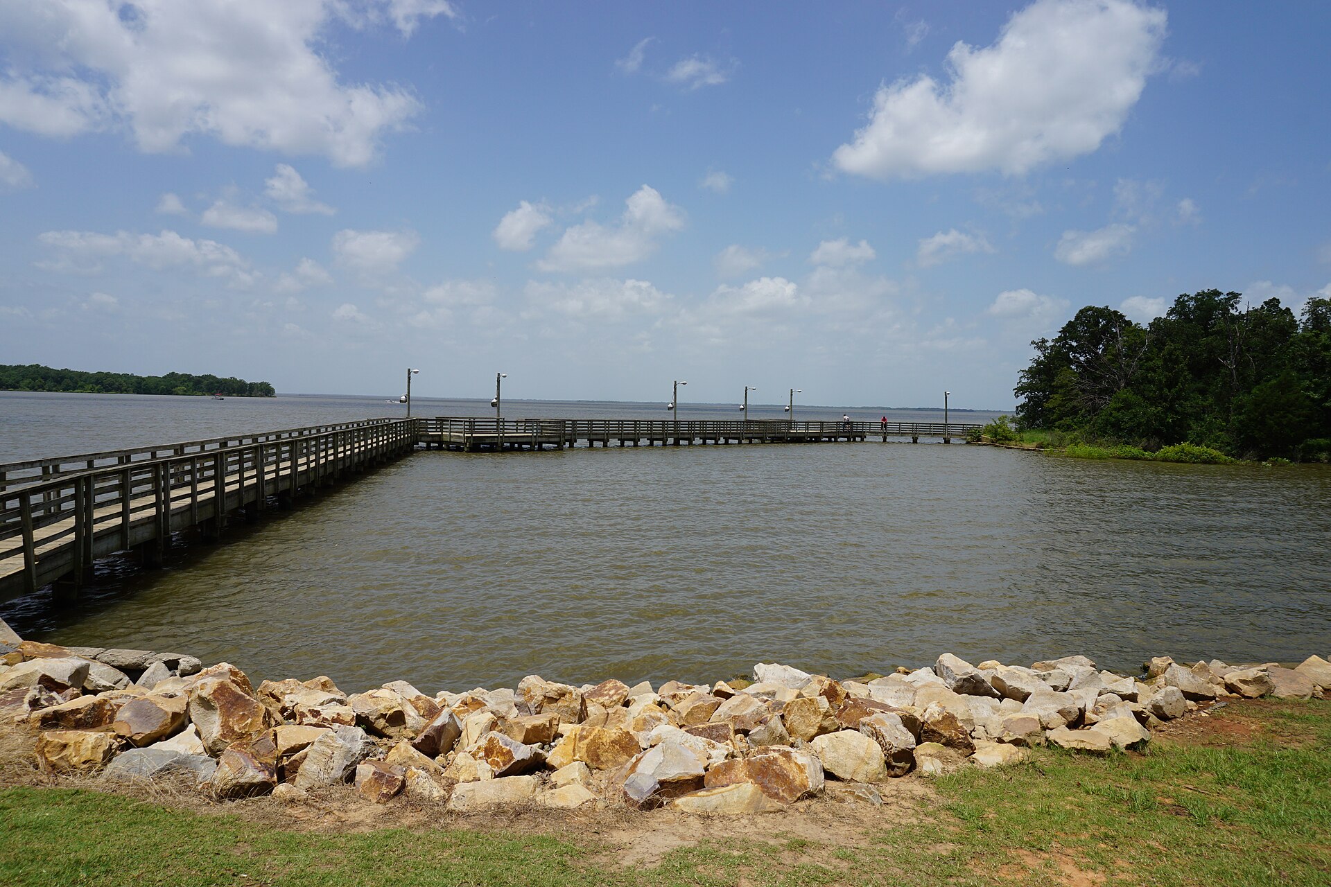
    Lake Bob Sandlin State Park

    A wooded Northeast Texas park on Lake Bob Sandlin where pine and hardwood forest reaches the shoreline, with fishing, paddling, swimming and lakeside camping near Pittsburg.

    Best season: Spring and fall for camping and trails; warm months for lake recreationUpdated Oct 2026
    • 9,000-acre lake with fishing pier, kayak rentals and ramp
    • 3.3 miles of woodland hiking and biking trails
    • 75 developed electric/water campsites plus primitive hike-ins
    Explore this place

24 of 41 places shown

Original TexasDefined map

Texas swimming and tubing destinations map

Built from the same maintained destination records used by this guide, then made available for editorial reuse in PNG and SVG formats.

Texas swimming and tubing destinations mapOrientation map of researched swimming destinations and municipal tubing gateways.30°N32°N34°N36°N104°W102°W100°W98°W96°W94°WTEXASDEFINED ORIGINAL41 mapped locations

Texas outline simplified for orientation. Hover or focus in a supporting browser to identify plotted locations. Exact access points, legal boundaries and property entrances should be verified with the responsible source.