Skip to content
Kinetic sculpture at the Science Spectrum museum in Lubbock

The regional guide

Panhandle Plains

High Plains, caprock, canyon country, ranching and enormous horizons across the Texas Panhandle.

18 curated places

TexasDefined geography

Panhandle Plains is one of the seven practical regions TexasDefined uses to organize statewide discovery. The boundaries are editorial and approximate, not administrative lines.

See all 7 regions defined →

Regional field guide

Understand Panhandle Plains before you go

Panhandle Plains combines the high plateau's immense open horizons with the sudden canyon breaks of the Caprock. Travel near Amarillo may revolve around Route 66 history and Palo Duro Canyon; farther across the region, ranching towns, farmland and weather are part of the experience. Plan around landscape and available services rather than treating a flat-looking map as a short drive.

Choose a practical base

Amarillo and Canyon

Palo Duro Canyon, historic Route 66 attractions and a practical overnight base.

Caprock edge and Quitaque area

Canyon rims, grasslands, public parks and rail-history detours.

Smaller Panhandle towns

Working agricultural communities and museums, with longer gaps between services.

The Llano Estacado and the Caprock edge

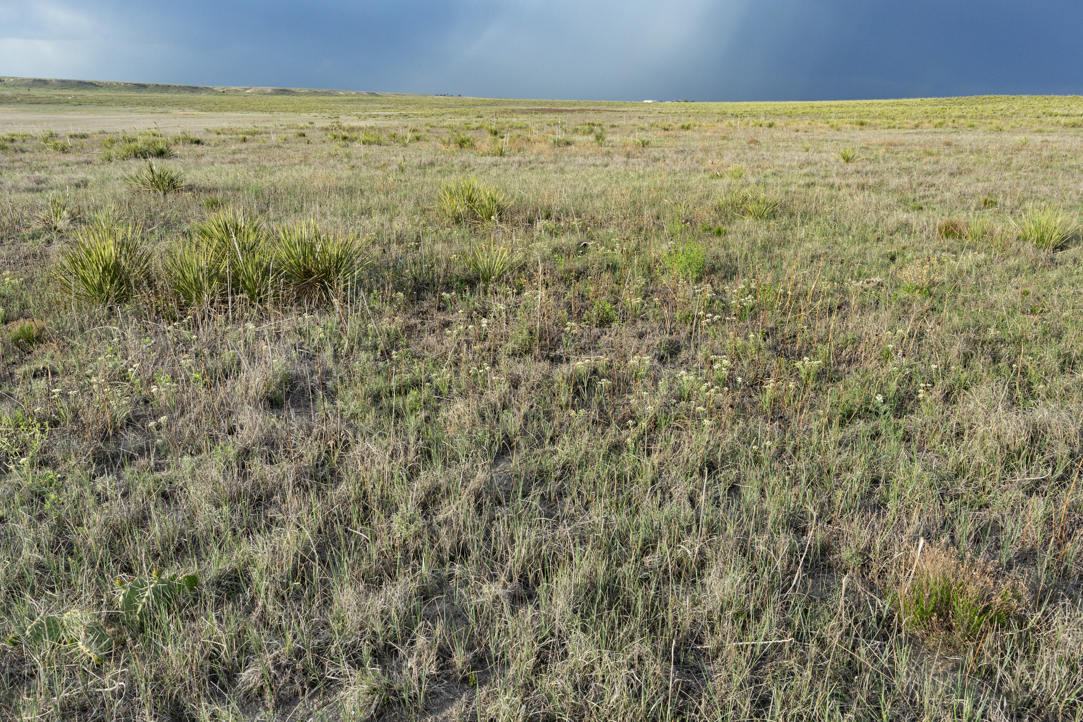
High Plains surfaces can appear strikingly flat for long distances, but rivers and erosion cut canyon systems into the Caprock margins. Palo Duro Canyon and Caprock Canyons deserve separate treatment because they vary in access and visitor experience. The change from prairie upland to canyon floor is one of the strongest visual explanations of the region. Use TPWD geology and park interpretations for the details rather than relying on marketing superlatives.

Ranching, Indigenous history and Route 66

The Panhandle has histories of Indigenous communities and bison landscapes, later ranching, railroad expansion, agriculture, petroleum activity and Route 66 roadside commerce. Amarillo and Canyon make convenient research bases for museums and regional landmarks, while smaller towns preserve different histories. Route 66 is best understood as successive alignments and surviving landmarks; a modern mapped interstate is not always the old highway.

Canyon days versus open-road trips

A canyon visit typically requires advance park-entry planning, weather checks and more walking than a purely roadside itinerary. A Route 66 trip emphasizes developed streets and roadside stops. The open plains are appealing for sky and landscape photography but offer little shade in many areas. Do not attempt dirt ranch tracks without permission or assume fuel and meals are available in every small settlement.

Weather, wind and emergency preparation

Strong wind, dust, hail, lightning, winter cold and summer heat can all materially affect the region. Canyons may be hotter than surrounding upland areas, and flash flooding can affect low spots despite dry skies where you are standing. Plan a water supply, vehicle range and daytime route around actual forecast conditions. Accessible overlooks and museum visits make good alternatives when trails become unsafe.

Understand the landscapes behind this region

These scientific and geographic field guides add context to the travel region; landscape boundaries are not the same as tourism regions. Follow a topic that matters to your actual route rather than assuming every landscape covers the whole region.

Season, access and safety

Wind, extreme weather, lightning, wildfire risk and winter travel conditions matter. Canyon hikes are exposed in summer; choose a park-authorized route and carry more water than the map seems to require. Rural distances and fuel availability warrant advance planning.

Build the next part of your trip

Primary references and methodology

TexasDefined uses approximate editorial travel regions rather than fixed legal boundaries. Suggested bases and travel approaches are editorial planning guidance, not live road, weather or access reports. Verify current conditions and permissions before departure.

Editorial review: October 12, 2026. Live conditions must be checked with the relevant authority.

Editor’s selection

Places that define Panhandle Plains

A curated first look at the landscapes, towns and landmarks that give this part of Texas its character.

  • Canyon · Randall County · Panhandle Plains

    Palo Duro Canyon State Park

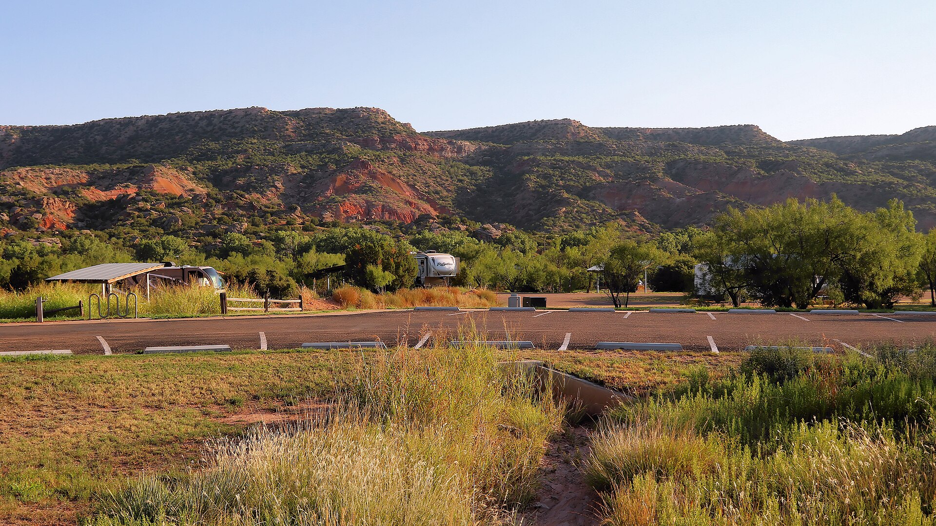
    The Panhandle's immense red-rock canyon state park, often called the Grand Canyon of Texas, with more than 30 miles of hiking, biking and equestrian trails, dramatic rim-to-floor drives, CCC history and the iconic Lighthouse formation near Canyon and Amarillo.

    Best season: Spring and fall for hiking; winter can be excellent on mild days, while summer requires early starts, heat awareness and frequent water breaks on exposed canyon trailsUpdated Aug 2026
    • Lighthouse Trail and the park's signature rock formation
    • Canyon rim overlooks and scenic drive to the floor
    • More than 30 miles of hiking, biking and equestrian trails
    Explore this place
  • Amarillo · Potter County · Panhandle Plains

    Cadillac Ranch

    Amarillo's landmark roadside-art installation of ten vintage Cadillacs buried nose-first in a Panhandle field, created by Ant Farm in 1974 and transformed by decades of visitor-applied paint into an ever-changing symbol of Route 66 car culture.

    Best season: Spring and fall for comfortable temperatures; sunrise and late afternoon give the flat Panhandle landscape its best light, while rain can turn the dirt approach muddyUpdated Aug 2026
    • Ten Cadillacs buried nose-first in a Panhandle field
    • Visitor-applied spray paint that continually changes the artwork
    • A defining roadside-art stop on the Route 66 corridor
    Explore this place

Browse the region

Choose your route through Panhandle Plains

Start with the kind of day you have in mind, then build the rest of the trip around it.

5 in the guide

Parks & public land

State parks, natural areas, trails and places made for a full day outside.

Explore statewide
  • Canyon · Randall County · Panhandle Plains

    Palo Duro Canyon State Park

    The Panhandle's immense red-rock canyon state park, often called the Grand Canyon of Texas, with more than 30 miles of hiking, biking and equestrian trails, dramatic rim-to-floor drives, CCC history and the iconic Lighthouse formation near Canyon and Amarillo.

    Best season: Spring and fall for hiking; winter can be excellent on mild days, while summer requires early starts, heat awareness and frequent water breaks on exposed canyon trailsUpdated Aug 2026
    • Lighthouse Trail and the park's signature rock formation
    • Canyon rim overlooks and scenic drive to the floor
    • More than 30 miles of hiking, biking and equestrian trails
    Explore this place
  • Quitaque · Briscoe County · Panhandle Plains

    Caprock Canyons State Park & Trailway

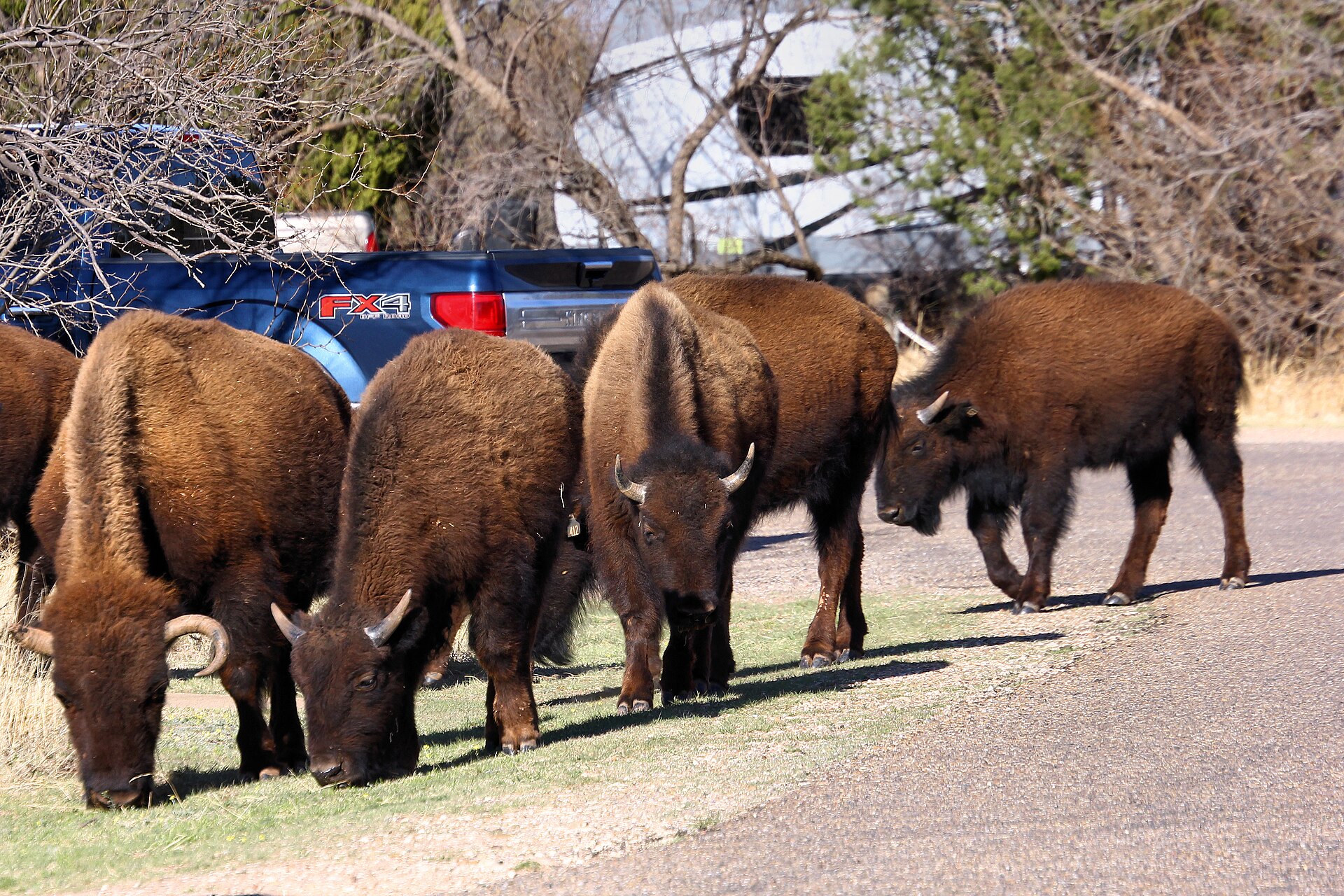
    Red-rock canyon country beneath the Caprock Escarpment, home to the official Texas State Bison Herd, Lake Theo and a trail network that connects with a long converted-rail Trailway across the Panhandle.

    Best season: Spring and fall for hiking and biking; summer heat can be severeUpdated Oct 2026
    • Free-ranging Texas State Bison Herd; stay at least 50 yards away
    • Redrock canyon hikes and the separate Caprock Trailway
    • Lake Theo swimming and water recreation subject to level and access
    Explore this place
  • Quanah · Hardeman County · Panhandle Plains

    Copper Breaks State Park

    Quiet red-earth breaks and rolling prairie near Quanah, known for dark skies, rugged short trails, Lake Copper Breaks and a landscape tied to the history of the Texas Longhorn herd.

    Best season: Fall through spring; clear moonless nights are best for stargazing
    • International Dark Sky setting and astronomy programs
    • Red-earth breaks and prairie trails
    • Lake Copper Breaks fishing and paddling
    Explore this place
  • Abilene · Taylor County · Panhandle Plains

    Abilene State Park

    A shady West Texas park south of Abilene where pecan, elm and oak trees surround historic CCC structures, camping and a swimming pool near Lake Abilene.

    Best season: Fall through spring for camping and trails; pool operations are seasonalUpdated Oct 2026
    • Historic CCC structures and shaded campground trails
    • Park swimming pool closed for renovations—not a currently bookable pool outing
    • Lake Abilene restrictions: no fishing, swimming, ramps or kayak rental
    Explore this place
  • Jacksboro · Jack County · Panhandle Plains

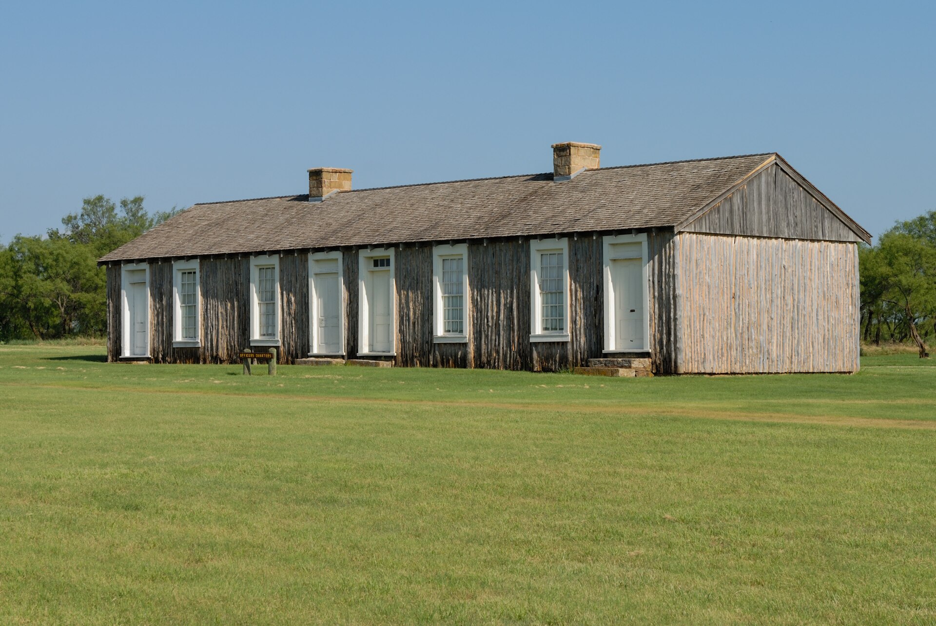
    Fort Richardson State Park & State Historic Site

    Walk historic buildings from a nineteenth-century U.S. Army post near Jacksboro, then plan camping, walking and cycling on the connected Lost Creek Reservoir State Trailway.

    Best season: Spring and fall are the park's busier seasons; mild days are most comfortable for exploring the historic grounds and trailway.Updated Oct 2026
    • Historic nineteenth-century Army hospital and military post
    • Lost Creek Reservoir State Trailway maps and access
    • Electric and full-hookup campsites
    Explore this place

1 in the guide

Lakes & rivers

Water worth building a weekend around, from quiet paddling to swimming and fishing.

Explore statewide
  • Fritch · Hutchinson County · Panhandle Plains

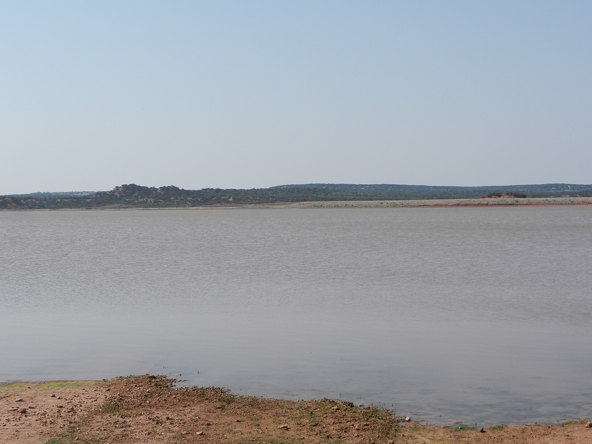
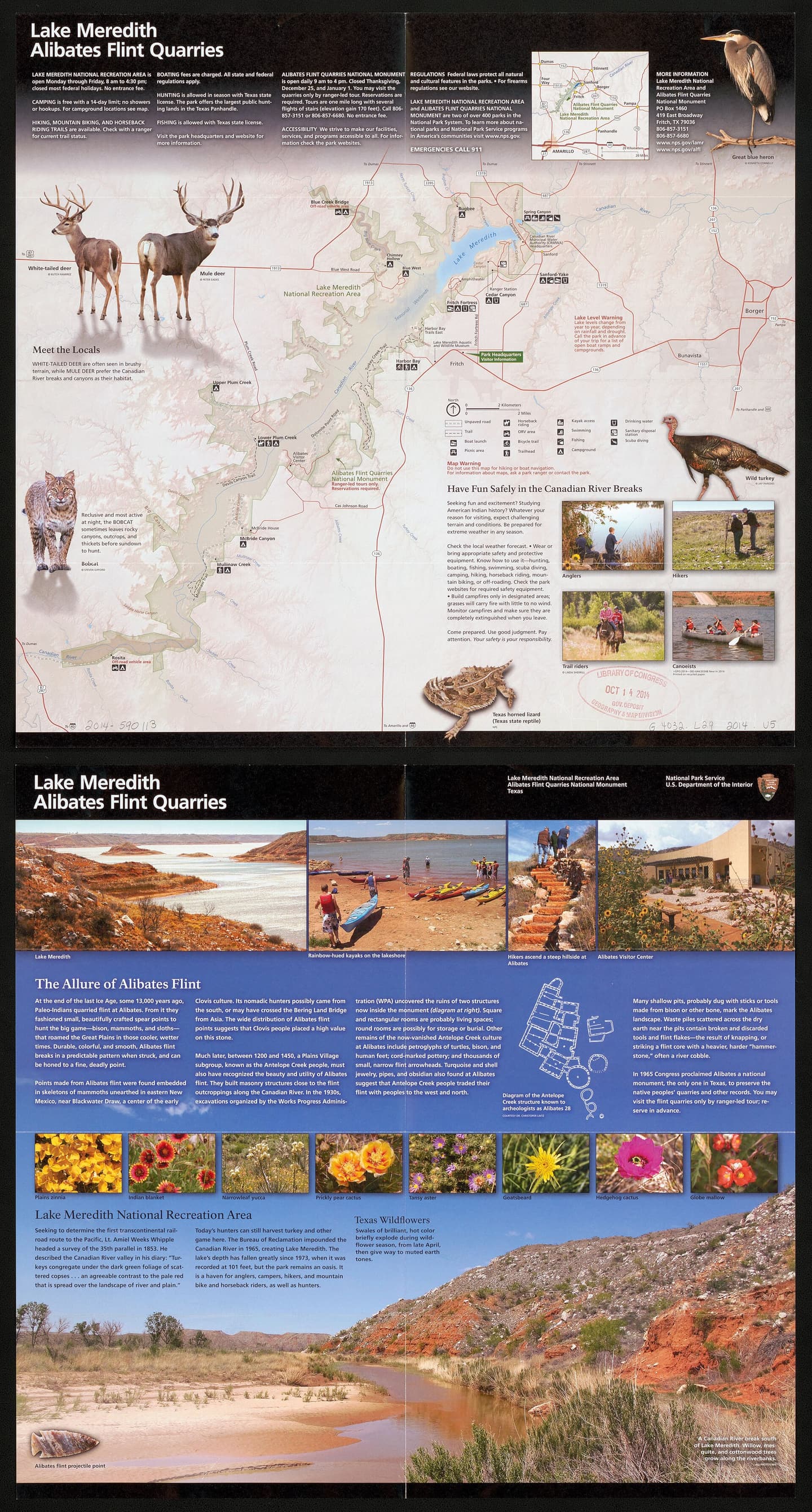
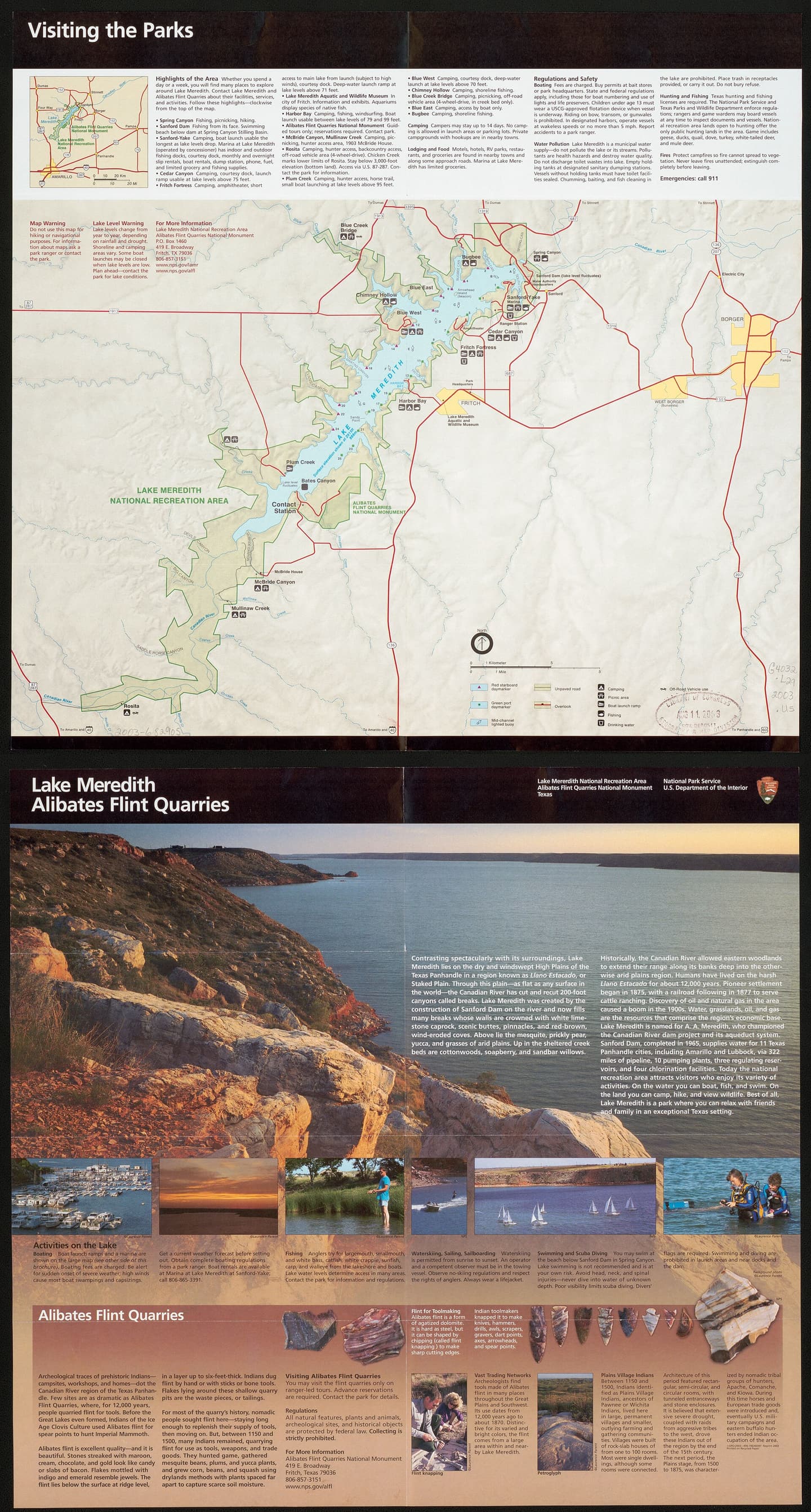
    Lake Meredith National Recreation Area

    Camp, boat and explore High Plains canyon country at Lake Meredith, with NPS first-come camping, a small reservable full-hookup section at Sanford-Yake and no assumed all-lake launch availability.

    Best season: Year-round; spring and fall are especially comfortable for hiking while summer favors water recreationUpdated Oct 2026
    • Canyon landscape and Lake Meredith shoreline access
    • Mostly free, first-come NPS camping areas
    • Ten specifically reservable Sanford-Yake electric/water RV sites
    Explore this place

8 in the guide

Historic places

Missions, museums, battlefields and landmarks that explain the region.

Explore statewide
  • Fritch · Potter County · Panhandle Plains

    Alibates Flint Quarries National Monument

    See the ancient flint quarry landscape of the Texas Panhandle on a reservation-only ranger-guided outing, with a challenging two-mile hike, geology and Indigenous craftsmanship interpreted by the National Park Service.

    Best season: April through October for the main ranger-program season; shoulder months can be cooler for outdoor walksUpdated Oct 2026
    • Ancient multicolored Alibates flint source in the Canadian River region
    • Reservation-only NPS quarry tour and two-mile challenging hike
    • Visitor-center exhibits about Indigenous quarry use and geology
    Explore this place
  • Goodnight · Armstrong County · Panhandle Plains

    Goodnight Ranch State Historic Site

    The ranch interprets Charles and Mary Ann Goodnight and the cattle, conservation and business history of the Texas Panhandle. It is a natural companion to Palo Duro Canyon for visitors interested in how ranching transformed the Southern Plains.

    Best season: Year-round; spring and fall are usually the most comfortable for outdoor portions of a visit.Updated Oct 2026
    • Charles Goodnight
    • ranching
    • Panhandle history
    Explore this place
  • Slaton · Lubbock County · Panhandle Plains

    Slaton Harvey House

    Built in 1912 for the Fred Harvey Company, the Mission Revival Harvey House served Santa Fe Railway passengers and employees on the South Plains. The restored building is a strong railroad-history stop near Lubbock and a reminder that Harvey Houses helped shape travel culture across the Southwest.

    Best season: Year-round; spring and fall are usually the most comfortable for outdoor portions of a visit.Updated Aug 2026
    • railroad history
    • Fred Harvey Company
    • South Plains
    Explore this place
  • Lubbock · Lubbock County · Panhandle Plains

    Silent Wings Museum

    Lubbock's museum of the World War II military glider program, built on the former South Plains Army Air Field where American glider pilots trained.

    Updated Aug 2026
    • CG-4A glider
    • World War II glider pilots
    • South Plains Army Air Field
    Explore this place
  • Canyon · Randall County · Panhandle Plains

    Panhandle-Plains Historical Museum

    The Panhandle-Plains Historical Museum at West Texas A&M University in Canyon holds unusually broad collections on the Texas Panhandle and Southern Plains, including archaeology, paleontology, petroleum, ranching, transportation, art and regional history.

    Updated Aug 2026
    • Texas Panhandle history
    • Archaeology and paleontology
    • Petroleum and ranching collections
    Explore this place
  • Amarillo · Potter County · Panhandle Plains

    American Quarter Horse Hall of Fame & Museum

    The American Quarter Horse Hall of Fame & Museum in Amarillo tells the story of the American Quarter Horse, the people who shaped the breed and the ranching, racing, showing and western traditions built around it.

    Updated Aug 2026
    • American Quarter Horse history
    • Hall of Fame
    • Western art
    Explore this place

1 in the guide

Road trips

Scenic drives and routes that connect the region's best stops.

Explore statewide
  • Amarillo · Potter County · Panhandle Plains

    Cadillac Ranch

    Amarillo's landmark roadside-art installation of ten vintage Cadillacs buried nose-first in a Panhandle field, created by Ant Farm in 1974 and transformed by decades of visitor-applied paint into an ever-changing symbol of Route 66 car culture.

    Best season: Spring and fall for comfortable temperatures; sunrise and late afternoon give the flat Panhandle landscape its best light, while rain can turn the dirt approach muddyUpdated Aug 2026
    • Ten Cadillacs buried nose-first in a Panhandle field
    • Visitor-applied spray paint that continually changes the artwork
    • A defining roadside-art stop on the Route 66 corridor
    Explore this place

2 in the guide

Wildlife & outdoors

Refuges, birding, dark skies and wild Texas beyond the park gate.

Explore statewide
  • Umbarger · Randall County · Panhandle Plains

    Buffalo Lake National Wildlife Refuge

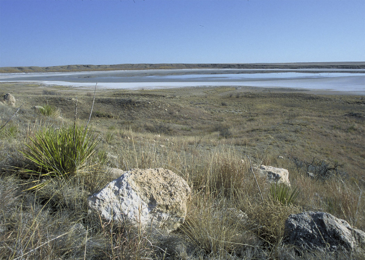
    Buffalo Lake National Wildlife Refuge south of Umbarger protects more than 7,600 acres of High Plains grassland and playa-country habitat where a former reservoir is now largely dry but wildlife viewing remains the central attraction.

    Best season: Spring and fall for migration and moderate temperatures; winter can bring raptors and open-country birds.Updated Sep 2026
    • High Plains grasslands
    • Prairie dogs and grassland birds
    • Auto-tour road
    Explore this place
  • Muleshoe · Bailey County · Panhandle Plains

    Muleshoe National Wildlife Refuge

    Muleshoe National Wildlife Refuge on the western High Plains is Texas's oldest national wildlife refuge and is especially known for winter concentrations of lesser sandhill cranes around playa wetlands and native grasslands.

    Best season: Late fall through early spring for sandhill cranes; spring and fall for migration and milder hiking weather.Updated Sep 2026
    • Texas's oldest national wildlife refuge
    • Lesser sandhill crane concentrations
    • High Plains playa wetlands
    Explore this place

TexasDefined Top 25

2 Top-25 attractions in Panhandle Plains

These places are part of Texas Defined's statewide Top 25 collection. Each guide includes official source links, update history, trip-planning assessments, three itinerary options and a full nearby-area guide.

  1. Top 25 · #9

    Palo Duro Canyon State Park

    The Panhandle's immense red-rock canyon state park, often called the Grand Canyon of Texas, with more than 30 miles of hiking, biking and equestrian trails, dramatic rim-to-floor drives, CCC history and the iconic Lighthouse formation near Canyon and Amarillo.

  2. Top 25 · #16

    Cadillac Ranch

    Amarillo's landmark roadside-art installation of ten vintage Cadillacs buried nose-first in a Panhandle field, created by Ant Farm in 1974 and transformed by decades of visitor-applied paint into an ever-changing symbol of Route 66 car culture.

The full guide

More places across Panhandle Plains

Browse the complete regional collection, then open any destination for field notes, planning details and nearby stops.

  • Lubbock · Lubbock County · Panhandle Plains

    Science Spectrum Museum & Aquarium

    Lubbock’s Science Spectrum combines hundreds of hands-on science exhibits and an OMNI theater with the city’s only public aquarium, including a Texas-focused Brazos River exhibit.

    Updated Aug 2026
    • Lubbock’s public aquarium
    • Texas Alive! Brazos River Journey
    • Hands-on science exhibits
    Explore this place
  • Canyon · Randall County · Panhandle Plains

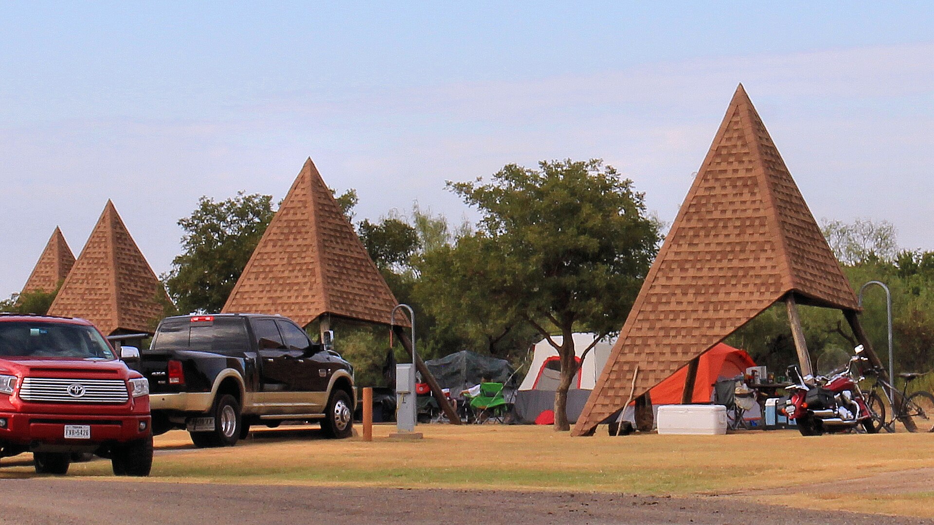
    Palo Duro Canyon State Park

    The Panhandle's immense red-rock canyon state park, often called the Grand Canyon of Texas, with more than 30 miles of hiking, biking and equestrian trails, dramatic rim-to-floor drives, CCC history and the iconic Lighthouse formation near Canyon and Amarillo.

    Best season: Spring and fall for hiking; winter can be excellent on mild days, while summer requires early starts, heat awareness and frequent water breaks on exposed canyon trailsUpdated Aug 2026
    • Lighthouse Trail and the park's signature rock formation
    • Canyon rim overlooks and scenic drive to the floor
    • More than 30 miles of hiking, biking and equestrian trails
    Explore this place
  • Amarillo · Potter County · Panhandle Plains

    Cadillac Ranch

    Amarillo's landmark roadside-art installation of ten vintage Cadillacs buried nose-first in a Panhandle field, created by Ant Farm in 1974 and transformed by decades of visitor-applied paint into an ever-changing symbol of Route 66 car culture.

    Best season: Spring and fall for comfortable temperatures; sunrise and late afternoon give the flat Panhandle landscape its best light, while rain can turn the dirt approach muddyUpdated Aug 2026
    • Ten Cadillacs buried nose-first in a Panhandle field
    • Visitor-applied spray paint that continually changes the artwork
    • A defining roadside-art stop on the Route 66 corridor
    Explore this place
  • Quitaque · Briscoe County · Panhandle Plains

    Caprock Canyons State Park & Trailway

    Red-rock canyon country beneath the Caprock Escarpment, home to the official Texas State Bison Herd, Lake Theo and a trail network that connects with a long converted-rail Trailway across the Panhandle.

    Best season: Spring and fall for hiking and biking; summer heat can be severeUpdated Oct 2026
    • Free-ranging Texas State Bison Herd; stay at least 50 yards away
    • Redrock canyon hikes and the separate Caprock Trailway
    • Lake Theo swimming and water recreation subject to level and access
    Explore this place
  • Fritch · Potter County · Panhandle Plains

    Alibates Flint Quarries National Monument

    See the ancient flint quarry landscape of the Texas Panhandle on a reservation-only ranger-guided outing, with a challenging two-mile hike, geology and Indigenous craftsmanship interpreted by the National Park Service.

    Best season: April through October for the main ranger-program season; shoulder months can be cooler for outdoor walksUpdated Oct 2026
    • Ancient multicolored Alibates flint source in the Canadian River region
    • Reservation-only NPS quarry tour and two-mile challenging hike
    • Visitor-center exhibits about Indigenous quarry use and geology
    Explore this place
  • Quanah · Hardeman County · Panhandle Plains

    Copper Breaks State Park

    Quiet red-earth breaks and rolling prairie near Quanah, known for dark skies, rugged short trails, Lake Copper Breaks and a landscape tied to the history of the Texas Longhorn herd.

    Best season: Fall through spring; clear moonless nights are best for stargazing
    • International Dark Sky setting and astronomy programs
    • Red-earth breaks and prairie trails
    • Lake Copper Breaks fishing and paddling
    Explore this place
  • Abilene · Taylor County · Panhandle Plains

    Abilene State Park

    A shady West Texas park south of Abilene where pecan, elm and oak trees surround historic CCC structures, camping and a swimming pool near Lake Abilene.

    Best season: Fall through spring for camping and trails; pool operations are seasonalUpdated Oct 2026
    • Historic CCC structures and shaded campground trails
    • Park swimming pool closed for renovations—not a currently bookable pool outing
    • Lake Abilene restrictions: no fishing, swimming, ramps or kayak rental
    Explore this place
  • Fritch · Hutchinson County · Panhandle Plains

    Lake Meredith National Recreation Area

    Camp, boat and explore High Plains canyon country at Lake Meredith, with NPS first-come camping, a small reservable full-hookup section at Sanford-Yake and no assumed all-lake launch availability.

    Best season: Year-round; spring and fall are especially comfortable for hiking while summer favors water recreationUpdated Oct 2026
    • Canyon landscape and Lake Meredith shoreline access
    • Mostly free, first-come NPS camping areas
    • Ten specifically reservable Sanford-Yake electric/water RV sites
    Explore this place
  • Goodnight · Armstrong County · Panhandle Plains

    Goodnight Ranch State Historic Site

    The ranch interprets Charles and Mary Ann Goodnight and the cattle, conservation and business history of the Texas Panhandle. It is a natural companion to Palo Duro Canyon for visitors interested in how ranching transformed the Southern Plains.

    Best season: Year-round; spring and fall are usually the most comfortable for outdoor portions of a visit.Updated Oct 2026
    • Charles Goodnight
    • ranching
    • Panhandle history
    Explore this place
  • Slaton · Lubbock County · Panhandle Plains

    Slaton Harvey House

    Built in 1912 for the Fred Harvey Company, the Mission Revival Harvey House served Santa Fe Railway passengers and employees on the South Plains. The restored building is a strong railroad-history stop near Lubbock and a reminder that Harvey Houses helped shape travel culture across the Southwest.

    Best season: Year-round; spring and fall are usually the most comfortable for outdoor portions of a visit.Updated Aug 2026
    • railroad history
    • Fred Harvey Company
    • South Plains
    Explore this place
  • Lubbock · Lubbock County · Panhandle Plains

    Silent Wings Museum

    Lubbock's museum of the World War II military glider program, built on the former South Plains Army Air Field where American glider pilots trained.

    Updated Aug 2026
    • CG-4A glider
    • World War II glider pilots
    • South Plains Army Air Field
    Explore this place
  • Canyon · Randall County · Panhandle Plains

    Panhandle-Plains Historical Museum

    The Panhandle-Plains Historical Museum at West Texas A&M University in Canyon holds unusually broad collections on the Texas Panhandle and Southern Plains, including archaeology, paleontology, petroleum, ranching, transportation, art and regional history.

    Updated Aug 2026
    • Texas Panhandle history
    • Archaeology and paleontology
    • Petroleum and ranching collections
    Explore this place
  • Amarillo · Potter County · Panhandle Plains

    American Quarter Horse Hall of Fame & Museum

    The American Quarter Horse Hall of Fame & Museum in Amarillo tells the story of the American Quarter Horse, the people who shaped the breed and the ranching, racing, showing and western traditions built around it.

    Updated Aug 2026
    • American Quarter Horse history
    • Hall of Fame
    • Western art
    Explore this place
  • Amarillo · Potter County · Panhandle Plains

    Amarillo Museum of Art

    The Amarillo Museum of Art on the Amarillo College campus presents changing exhibitions and collections spanning American and international art, with especially useful context for the Texas Panhandle's visual culture.

    Updated Aug 2026
    • Free admission
    • Changing art exhibitions
    • Amarillo College campus
    Explore this place
  • Lubbock · Lubbock County · Panhandle Plains

    Museum of Texas Tech University

    The Museum of Texas Tech University in Lubbock is a multidisciplinary university museum with collections and exhibitions in anthropology, art, clothing and textiles, history, paleontology and natural science, plus the Moody Planetarium.

    Updated Oct 2026
    • Free admission
    • Natural history and paleontology
    • Anthropology and regional history
    Explore this place
  • Umbarger · Randall County · Panhandle Plains

    Buffalo Lake National Wildlife Refuge

    Buffalo Lake National Wildlife Refuge south of Umbarger protects more than 7,600 acres of High Plains grassland and playa-country habitat where a former reservoir is now largely dry but wildlife viewing remains the central attraction.

    Best season: Spring and fall for migration and moderate temperatures; winter can bring raptors and open-country birds.Updated Sep 2026
    • High Plains grasslands
    • Prairie dogs and grassland birds
    • Auto-tour road
    Explore this place
  • Muleshoe · Bailey County · Panhandle Plains

    Muleshoe National Wildlife Refuge

    Muleshoe National Wildlife Refuge on the western High Plains is Texas's oldest national wildlife refuge and is especially known for winter concentrations of lesser sandhill cranes around playa wetlands and native grasslands.

    Best season: Late fall through early spring for sandhill cranes; spring and fall for migration and milder hiking weather.Updated Sep 2026
    • Texas's oldest national wildlife refuge
    • Lesser sandhill crane concentrations
    • High Plains playa wetlands
    Explore this place
  • Jacksboro · Jack County · Panhandle Plains

    Fort Richardson State Park & State Historic Site

    Walk historic buildings from a nineteenth-century U.S. Army post near Jacksboro, then plan camping, walking and cycling on the connected Lost Creek Reservoir State Trailway.

    Best season: Spring and fall are the park's busier seasons; mild days are most comfortable for exploring the historic grounds and trailway.Updated Oct 2026
    • Historic nineteenth-century Army hospital and military post
    • Lost Creek Reservoir State Trailway maps and access
    • Electric and full-hookup campsites
    Explore this place