Skip to content
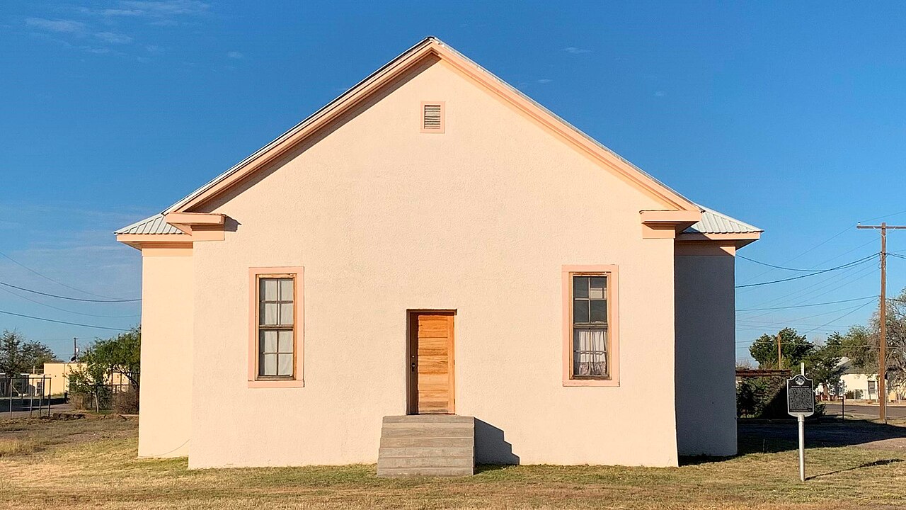
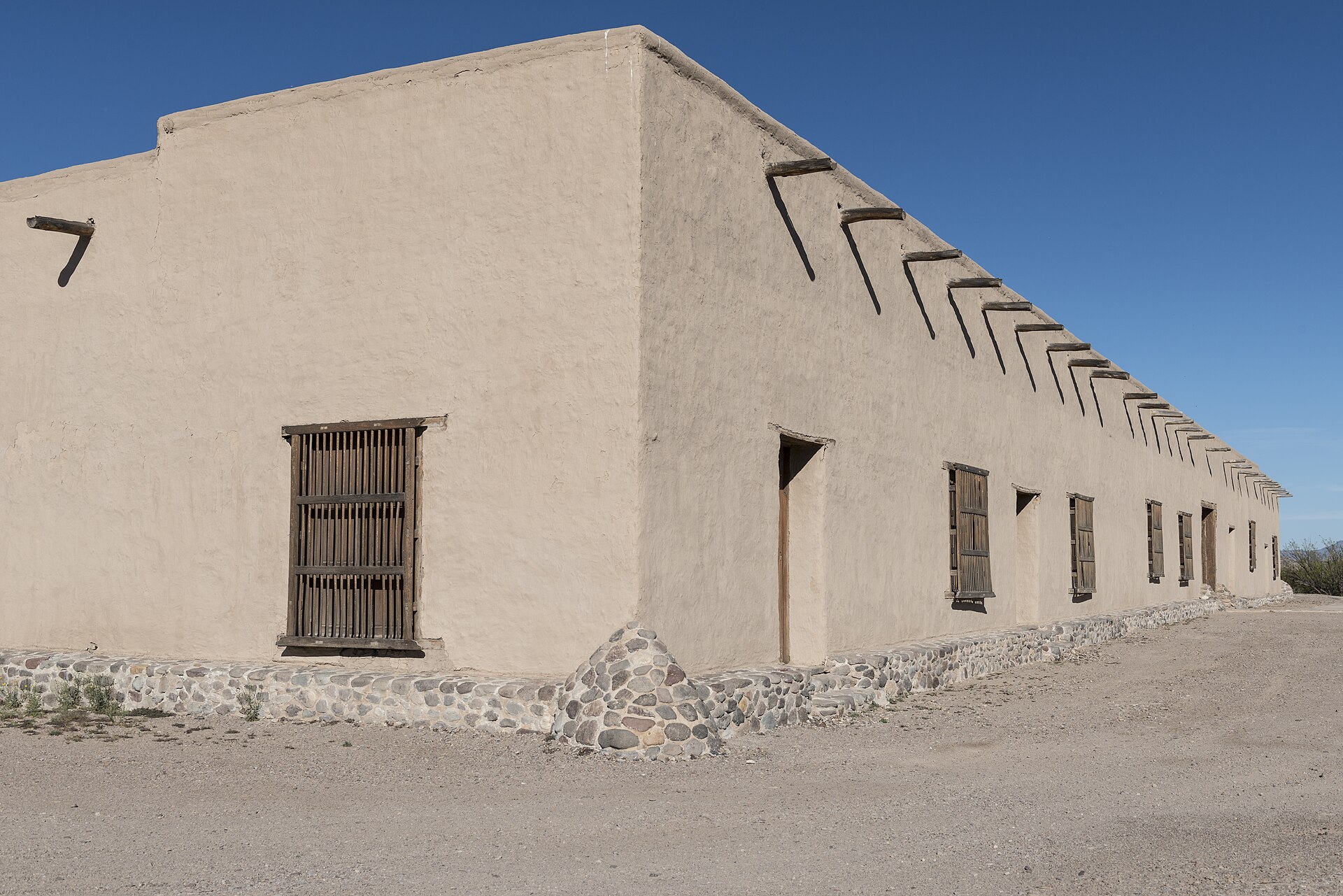
Fort Leaton State Historic Site in Texas

The regional guide

Big Bend Country

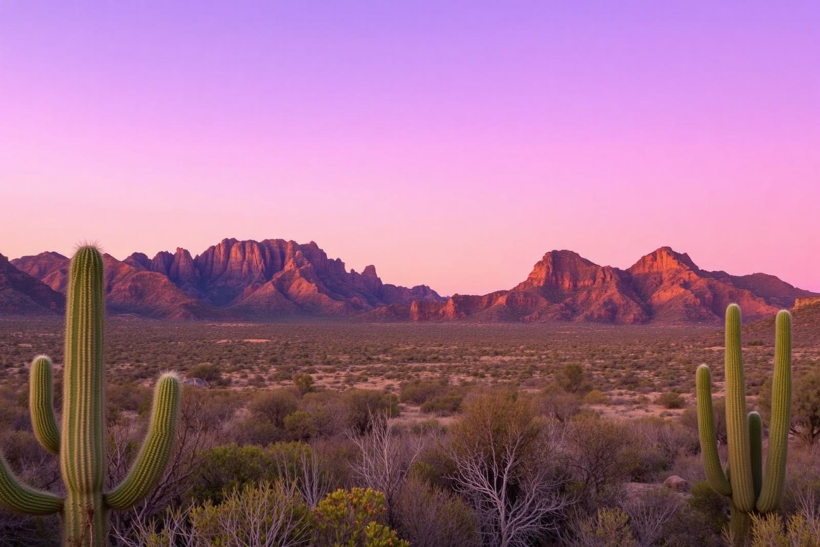
Chihuahuan Desert, mountain ranges, dark skies and the Rio Grande across far West Texas.

40 curated places

TexasDefined geography

Big Bend Country is one of the seven practical regions TexasDefined uses to organize statewide discovery. The boundaries are editorial and approximate, not administrative lines.

See all 7 regions defined →

Regional field guide

Understand Big Bend Country before you go

Big Bend Country ties Chihuahuan Desert basins, mountain ranges, the Rio Grande and widely separated small towns into a distinctive far-West-Texas landscape. It is more remote than most Texas travel regions. An effective itinerary distinguishes Big Bend National Park from Big Bend Ranch State Park and the larger Davis Mountains, Marfa, Alpine and Fort Davis area rather than claiming they are quick adjacent stops.

Choose a practical base

Terlingua and Study Butte

Western access to Big Bend National Park and desert town services.

Marathon and the park's eastern approaches

A different base for eastern park access and long-distance scenic routes.

Alpine, Fort Davis and Marfa

Town services, art, astronomy and mountains; allow substantial separate driving time to the park.

A region larger than one national park

Big Bend Country includes desert, the Rio Grande, isolated mountain ranges, border communities and distant town bases. Big Bend National Park, Big Bend Ranch State Park and the Fort Davis–Alpine–Marfa corridor are different visitor projects. Travelers often underestimate the separation between them. Avoid promising a compact loop that includes all of them in a short day; choose one principal anchor and build a reasonable second stop around it.

Chihuahuan Desert geography and mountain habitats

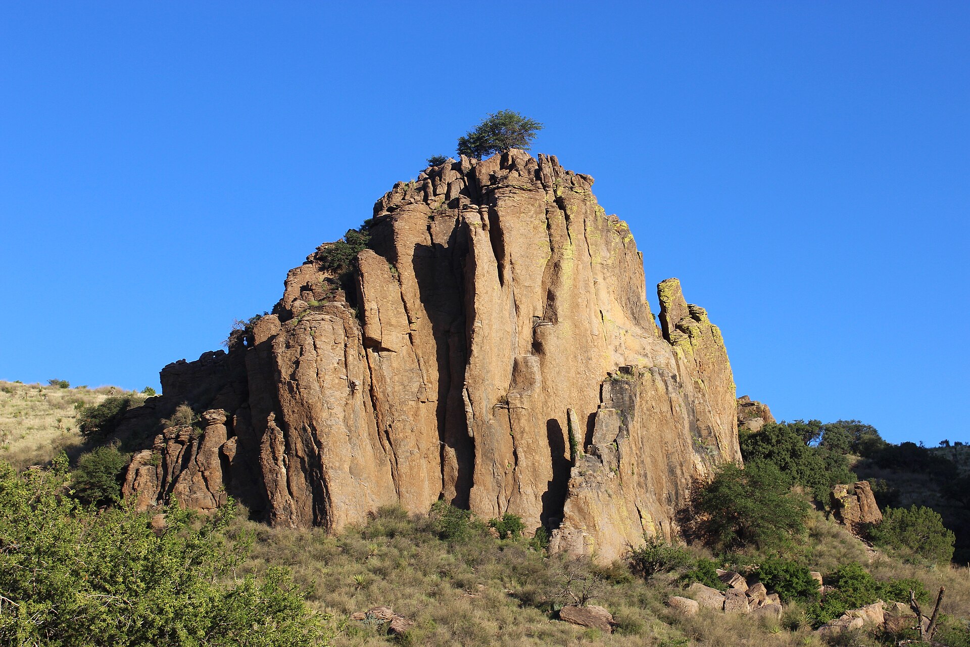
Lower basins and higher mountains have different temperatures, plants and wildlife. The Chisos Mountains, Davis Mountains and Rio Grande corridor each contribute to the region's complexity. Landforms are interpreted through park geology, and sensitive habitats may have route restrictions. Enjoy the views from signed roads and overlooks; a distinctive rock formation seen across a fence is not permission to enter private property.

Park roads, river access and vehicle limits

NPS describes paved, improved dirt and primitive dirt roads as different driving categories. Ross Maxwell Scenic Drive is an accessible paved scenic option, while primitive routes require specific vehicles and can be impassable after rain. The Chisos Basin road has published large-vehicle recommendations. The state park has its own rules, fees and camping access. Rio Grande river trips require current water and border-specific planning advice; do not assume every bank is a safe put-in.

Desert readiness and accessibility

Summer heat can be life-threatening, and winter nights may still be freezing. Water, fuel, sun protection, offline navigation and realistic daily driving make the difference between a memorable visit and an unsafe one. Cell coverage is limited in many areas. Visitors with limited hiking ability may still enjoy authorized paved drives and overlooks, but check parking, restroom and grade conditions. Wildlife and dark-sky observing require low-impact conduct.

Understand the landscapes behind this region

These scientific and geographic field guides add context to the travel region; landscape boundaries are not the same as tourism regions. Follow a topic that matters to your actual route rather than assuming every landscape covers the whole region.

Season, access and safety

Carry sufficient fuel and water, use offline maps and expect unreliable phone service. Park road surfaces vary: NPS classifies primitive roads separately from paved sightseeing roads, and some require high-clearance four-wheel-drive vehicles. Summer heat can be dangerous; always check park and border-region notices.

Build the next part of your trip

Primary references and methodology

TexasDefined uses approximate editorial travel regions rather than fixed legal boundaries. Suggested bases and travel approaches are editorial planning guidance, not live road, weather or access reports. Verify current conditions and permissions before departure.

Editorial review: October 12, 2026. Live conditions must be checked with the relevant authority.

Editor’s selection

Places that define Big Bend Country

A curated first look at the landscapes, towns and landmarks that give this part of Texas its character.

  • Terlingua · Brewster County · Big Bend Country

    Big Bend National Park

    Explore Big Bend's Chisos Mountains, Chihuahuan Desert and Rio Grande canyons using current NPS road closures, campground reservations and correct 2026 Chisos Basin construction status.

    Best season: Fall through spring for hiking and lower-elevation exploring; summer heat can be extreme, so warm-season plans should favor early starts, higher elevations and conservative distancesUpdated Oct 2026
    • Chisos Basin access remains available despite canceled renovation closure
    • Santa Elena Canyon: Terlingua Creek crossing varies with floods
    • Ross Maxwell Scenic Drive: check closure and turnaround
    Explore this place
  • Salt Flat · Culberson County · Big Bend Country

    Guadalupe Mountains National Park

    Hike Guadalupe Peak, the Pine Springs area and McKittrick Canyon with accurate Mountain Time visitor schedules, trail elevation gain, short-day gate closures and limited West Texas services.

    Best season: Spring and fall for hiking; fall is especially popular for McKittrick Canyon color, while winter can bring strong winds and summer demands conservative heat planningUpdated Oct 2026
    • Guadalupe Peak: Texas highest natural point, strenuous climb
    • Pine Springs visitor center and campground gateway
    • McKittrick Canyon day-use gate closes at 5 p.m. Mountain
    Explore this place
  • Marfa · Presidio County · Big Bend Country

    Marfa

    Marfa is a remote high-desert town where Presidio County history, internationally known contemporary art, adobe streetscapes, the Marfa Lights and immense West Texas skies create a destination that rewards slow travel rather than a rushed roadside stop.

    Best season: Spring and fall for milder high-desert weather; winter can be crisp and quiet, while summer days are hot and seasonal storms can affect regional drivingUpdated Sep 2026
    • contemporary art
    • Presidio County Courthouse
    • Central Marfa Historic District
    Explore this place
  • Alpine · Brewster County · Big Bend Country

    Alpine

    Alpine is a high-desert Brewster County town where Sul Ross State University, the Museum of the Big Bend, downtown murals, historic buildings and mountain views create one of the most useful bases for exploring far West Texas.

    Best season: Fall through spring for walking and regional road trips; summer mornings and evenings are more comfortable for exposed outdoor stops, while monsoon-season storms can affect long West Texas drivesUpdated Sep 2026
    • Museum of the Big Bend
    • Sul Ross State University
    • downtown murals
    Explore this place
  • Terlingua · Brewster County · Big Bend Country

    Terlingua

    Terlingua is a remote Brewster County desert community and former quicksilver-mining district immediately outside Big Bend National Park, known for its living ghost-town landscape, mountain views, dark skies, local gathering places and role as a practical Big Bend basecamp.

    Best season: Late fall through early spring for desert hiking and outdoor touring; summer requires extreme-heat precautions and shorter outdoor windowsUpdated Sep 2026
    • Terlingua Ghost Town
    • quicksilver-mining history
    • Big Bend gateway
    Explore this place
  • Fort Davis · Jeff Davis County · Big Bend Country

    Fort Davis

    Fort Davis is a high-elevation Jeff Davis County community in the Davis Mountains where a nationally significant frontier military post, Buffalo Soldier history, mountain scenery, dark skies, Davis Mountains State Park and McDonald Observatory create a concentrated Far West Texas base.

    Best season: Spring and fall for hiking and historic-site walking; clear nights year-round for astronomy, with winter cold and summer storms planned forUpdated Sep 2026
    • Fort Davis National Historic Site
    • Buffalo Soldier history
    • Davis Mountains State Park
    Explore this place

Browse the region

Choose your route through Big Bend Country

Start with the kind of day you have in mind, then build the rest of the trip around it.

9 in the guide

Parks & public land

State parks, natural areas, trails and places made for a full day outside.

Explore statewide
  • Fort Davis · Jeff Davis County · Big Bend Country

    Davis Mountains State Park

    A high-desert mountain park above Fort Davis with Skyline Drive, CCC history, hiking, birding and access to Indian Lodge amid cooler elevations and broad Trans-Pecos views.

    Best season: Spring through fall for mountain roads and trails; winter can bring freezing weather
    • Skyline Drive overlooks
    • Historic CCC landscape
    • Indian Lodge
    Explore this place
  • Monahans · Ward County · Big Bend Country

    Monahans Sandhills State Park

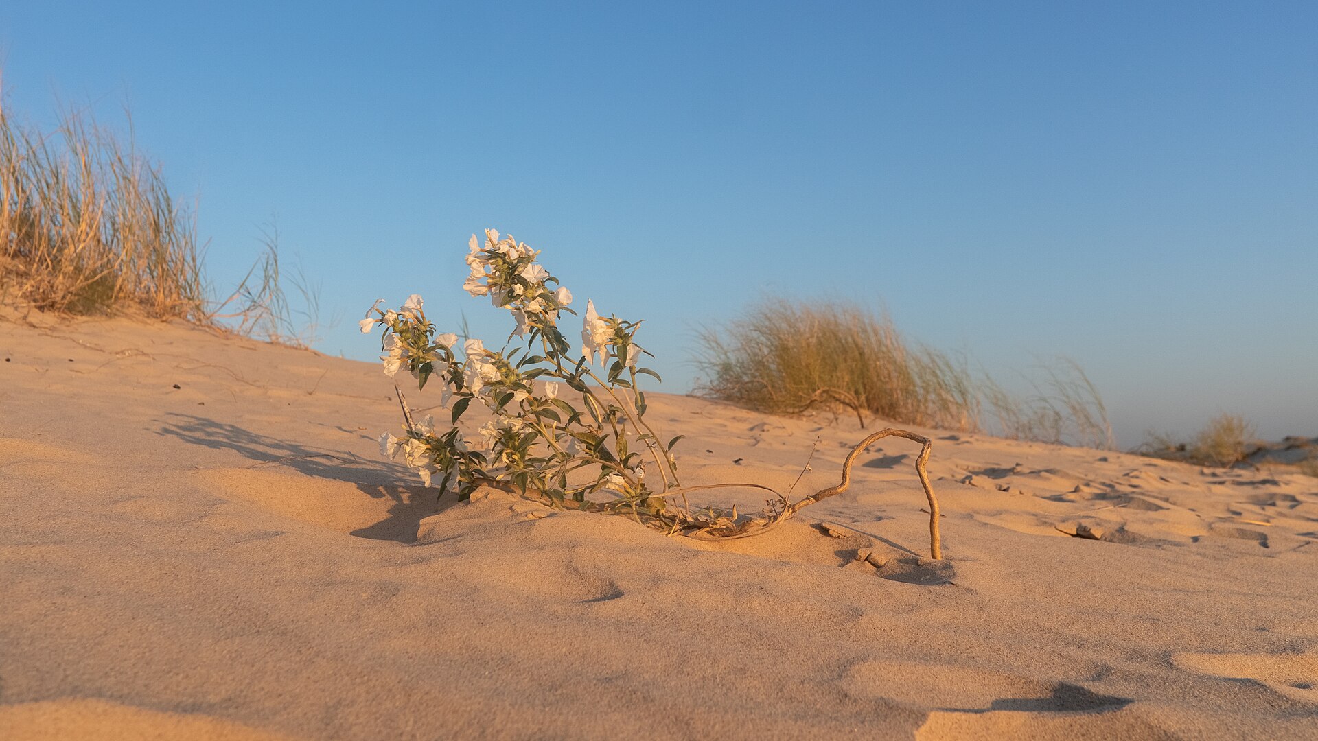
    A West Texas field of wind-shaped dunes where visitors can roam without marked trails, rent sand discs, camp beneath wide skies and watch the landscape change after every strong wind.

    Best season: Fall through spring for comfortable dune exploration; summer sand and air temperatures can be extreme
    • Open dune field shaped constantly by West Texas wind
    • Sand-disc rentals for sledding the dunes
    • No fixed trails, allowing free exploration across the sand
    Explore this place
  • San Angelo · Tom Green County · Big Bend Country

    San Angelo State Park

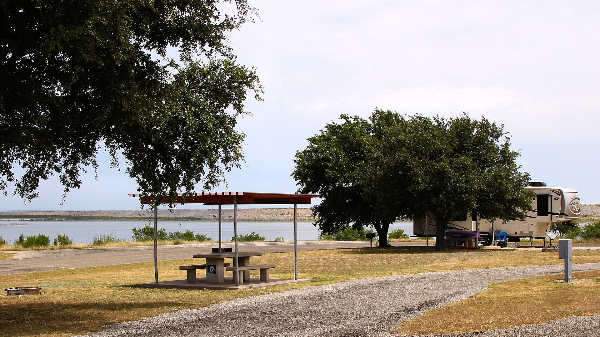
    A large Concho Valley park on O.C. Fisher Reservoir with miles of hiking, biking and equestrian trails, wildlife habitat and a landscape tied to the official Texas State Longhorn Herd.

    Best season: Fall through spring; summer heat can be severe
    • Extensive hiking, biking and equestrian trails
    • Texas State Longhorn Herd connection
    • O.C. Fisher Reservoir
    Explore this place
  • Comstock · Val Verde County · Big Bend Country

    Seminole Canyon State Park & Historic Site

    Explore Lower Pecos canyon country west of Comstock, with ancient rock-art context, ranger-led access to cultural sites, desert hiking and striking limestone overlooks.

    Best season: Winter through early spring is the busy season; cooler weather is better for exposed canyon hiking.Updated Oct 2026
    • Lower Pecos canyon and Indigenous rock-art heritage
    • Fate Bell Shelter guided interpretation
    • Official park and trails maps
    Explore this place
  • Presidio · Presidio County · Big Bend Country

    Big Bend Ranch State Park

    Texas' largest state park, stretching through remote Chihuahuan Desert mountains, canyons and Rio Grande country west of Presidio with rugged roads, trails and primitive camps.

    Best season: October through April; summer heat can be dangerousUpdated Nov 2026
    • Rio Grande canyon country
    • Remote Chihuahuan Desert backcountry
    • Hiking, mountain biking and horseback riding
    Explore this place
  • Big Spring · Howard County · Big Bend Country

    Big Spring State Park

    A compact West Texas park atop Scenic Mountain, where a CCC-built loop road and overlooks provide broad views across Big Spring and the surrounding plains.

    Best season: Fall through spring; sunrise and sunset are especially rewarding
    • Scenic Mountain overlooks
    • CCC-built loop road and stonework
    • Sunrise and sunset views
    Explore this place

2 in the guide

National parks

The region's biggest federally protected landscapes and landmark destinations.

Explore statewide
  • Terlingua · Brewster County · Big Bend Country

    Big Bend National Park

    Explore Big Bend's Chisos Mountains, Chihuahuan Desert and Rio Grande canyons using current NPS road closures, campground reservations and correct 2026 Chisos Basin construction status.

    Best season: Fall through spring for hiking and lower-elevation exploring; summer heat can be extreme, so warm-season plans should favor early starts, higher elevations and conservative distancesUpdated Oct 2026
    • Chisos Basin access remains available despite canceled renovation closure
    • Santa Elena Canyon: Terlingua Creek crossing varies with floods
    • Ross Maxwell Scenic Drive: check closure and turnaround
    Explore this place
  • Salt Flat · Culberson County · Big Bend Country

    Guadalupe Mountains National Park

    Hike Guadalupe Peak, the Pine Springs area and McKittrick Canyon with accurate Mountain Time visitor schedules, trail elevation gain, short-day gate closures and limited West Texas services.

    Best season: Spring and fall for hiking; fall is especially popular for McKittrick Canyon color, while winter can bring strong winds and summer demands conservative heat planningUpdated Oct 2026
    • Guadalupe Peak: Texas highest natural point, strenuous climb
    • Pine Springs visitor center and campground gateway
    • McKittrick Canyon day-use gate closes at 5 p.m. Mountain
    Explore this place

2 in the guide

Lakes & rivers

Water worth building a weekend around, from quiet paddling to swimming and fishing.

Explore statewide
  • Del Rio · Val Verde County · Big Bend Country

    Devils River State Natural Area

    A remote, exceptionally clear spring-fed river natural area in Southwest Texas with two reservation-only units—Del Norte and Dan A. Hughes—protecting rugged limestone canyon country and primitive backcountry access.

    Best season: Spring and fall for cooler backcountry travel; summer heat is severeUpdated Aug 2026
    • Del Norte Unit
    • Dan A. Hughes Unit
    • Clear spring-fed Devils River
    Explore this place
  • Del Rio · Val Verde County · Big Bend Country

    Amistad National Recreation Area

    Plan boating, shoreline fishing and desert camping at the Rio Grande's international Amistad reservoir near Del Rio, where fluctuating water levels change boat-ramp access and NPS lake-use passes govern registered vessels.

    Best season: Fall through spring for mild weather; summer is very hotUpdated Oct 2026
    • Amistad Reservoir's desert-water scenery and boating
    • Ramp-by-ramp access subject to rapidly changing lake elevation
    • Distinct NPS Lake Use Pass requirement for registered vessels
    Explore this place

1 in the guide

Springs & swimming

Clear water, spring-fed pools and the places Texans go when summer settles in.

Explore statewide
  • Balmorhea · Reeves County · Big Bend Country

    Balmorhea State Park

    A West Texas oasis built around San Solomon Springs and the world’s largest spring-fed swimming pool, where clear 72-to-76-degree water fills a historic CCC-era park in the desert.

    Best season: Year-round for the spring-fed pool; summer is busiest, while spring and fall pair swimming with milder desert weatherUpdated Oct 2026
    • Clear spring-fed San Solomon Springs pool and desert setting
    • No lifeguard: supervised swimming, 25-foot depth and seasonal closing rules
    • Separate advance-access requirements for scuba divers
    Explore this place

2 in the guide

Caverns & caves

Limestone rooms, guided tours and below-ground Texas.

Explore statewide
  • Brackettville · Kinney County · Big Bend Country

    Kickapoo Cavern State Park

    A remote western Hill Country park near Brackettville with wild-cave tours, rugged trails and seasonal evening flights of Mexican free-tailed bats from Stuart Bat Cave.

    Best season: Spring and fall for hiking; bat flights are seasonalUpdated Oct 2026
    • Guided wild-cave tours in Kickapoo Cavern
    • Seasonal bat flights from Stuart Bat Cave
    • Rugged limestone hiking and mountain biking
    Explore this place
  • Sonora · Sutton County · Big Bend Country

    Caverns of Sonora

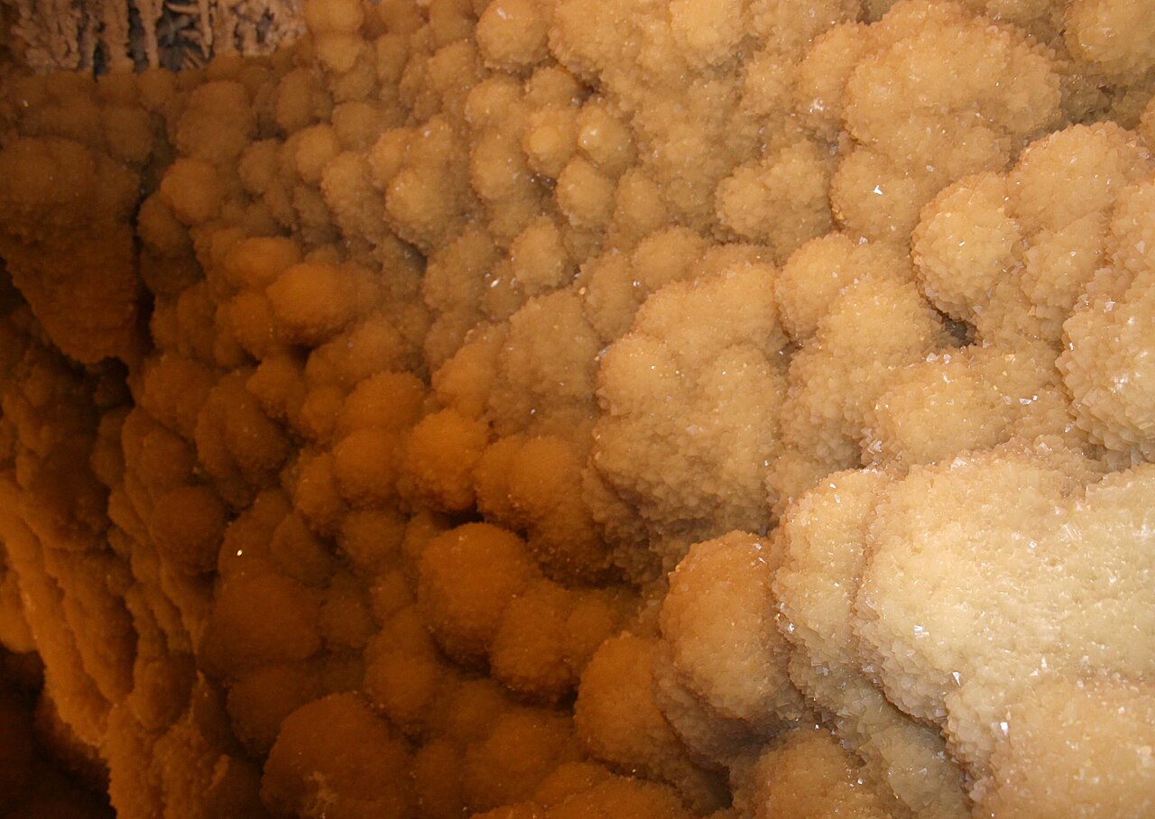
    A highly decorated show cave 15 miles southwest of Sonora where intimate guided tours descend through crystal-rich limestone passages, dense speleothems and warm, humid rooms 155 feet below the surface.

    Best season: Year-round; the cavern stays about 72°F with roughly 98% humidityUpdated Sep 2026
    • Crystal Palace guided tour
    • Dense crystal formations and helictites
    • Discovery Challenge adventure caving
    Explore this place

17 in the guide

Historic places

Missions, museums, battlefields and landmarks that explain the region.

Explore statewide
  • Presidio · Presidio County · Big Bend Country

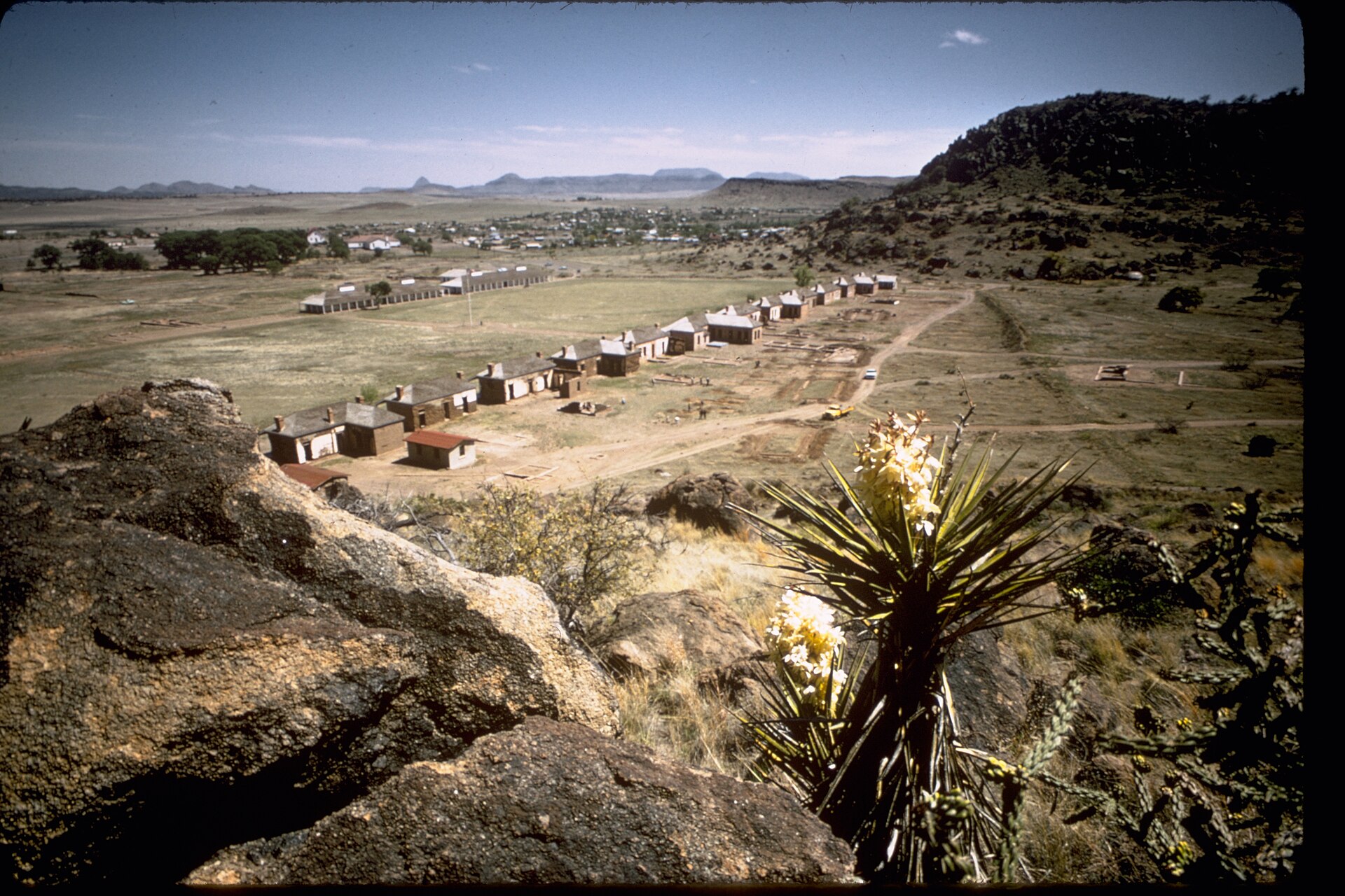
    Fort Leaton State Historic Site

    Walk a fortified nineteenth-century adobe trading post east of Presidio, learn about the older La Junta settlements, and use the site as Big Bend Ranch State Park's western permit and information gateway.

    Best season: September through April is the busier season; cooler weather is generally safer for a self-guided desert history visit.Updated Nov 2026
    • Explore the surviving fortified adobe trading post built in 1848
    • Read about Juana Pedrasa, Ben Leaton and the La Junta trading corridor
    • Follow TPWD's self-guided historic-site walking tour
    Explore this place
  • Marfa · Presidio County · Big Bend Country

    Blackwell School National Historic Site

    Visit Marfa's surviving segregated school and hear Mexican American students' accounts of education, language suppression and community preservation at a National Park Service historic site.

    Best season: Year-round, with opening days and the availability of tours more important than season; check the National Park Service schedule before traveling.Updated Oct 2026
    • Original 1909 adobe schoolhouse and 1927 Band Hall
    • Student and teacher photographs, recollections and interpretive exhibits
    • A Mexican American civil-rights history stop in residential Marfa
    Explore this place
  • Alpine · Brewster County · Big Bend Country

    Kokernot Field

    Alpine's 1947 Kokernot Field is a remarkably elaborate West Texas baseball park commissioned by rancher Herbert L. Kokernot Jr. Its local stonework, o6 Ranch identity, NAIA World Series history and continuing Alpine Cowboys games explain why this 2026 National Register listing matters beyond baseball fans.

    Best season: Baseball-game dates are the best way to experience the field as a living venue. West Texas summers can be very hot; check start time, forecast and sun exposure.Updated Oct 2026
    • Opened in 1947 as a semiprofessional Alpine Cowboys ballpark
    • Built for rancher Herbert L. Kokernot Jr. with native West Texas stone and intricate o6 ironwork
    • Hosted the NAIA baseball championship from 1957 through 1959
    Explore this place
  • Alpine · Brewster County · Big Bend Country

    Alpine Downtown Historic District

    Spanning roughly 40 blocks and almost 96 acres, Alpine's 2026 National Register historic district links the arrival of the Southern Pacific Railroad in 1882 with its Brewster County courthouse, historic hotels, Hispanic community institutions, stone architecture and Big Bend gateway economy.

    Best season: Spring and autumn are usually more comfortable for a long outdoor downtown walk; winter days can be pleasant but weather varies sharply in the Trans-Pecos.Updated Oct 2026
    • Southern Pacific Railroad shaped Alpine's founding and regional logistics in 1882
    • Approximately 40 blocks, almost 96 acres and 282 historic district resources
    • Brewster County Courthouse and Jail, Holland Hotel and Hotel Ritchey preserve different periods
    Explore this place
  • Alpine · Brewster County · Big Bend Country

    Holland Hotel

    Alpine's 1928 Holland Hotel is an important Spanish Colonial Revival landmark designed by Henry C. Trost and built to serve railroad travelers, ranchers, visitors and the civic life of the Big Bend gateway. The independently listed National Register building remains an operating hotel, with the earlier Holland family hotel story reaching back to 1912.

    Best season: Year-round indoor accommodations and downtown architecture; Alpine has seasonal temperature swings and high-desert travel conditions.Updated Oct 2026
    • Built in 1928 for the Holland family, replacing the earlier hotel as Alpine grew
    • Architect Henry C. Trost and his firm Trost & Trost designed the Spanish Colonial Revival building
    • The Southern Pacific Sunset Limited railroad connected Alpine with regional and national travelers
    Explore this place
  • El Paso · El Paso County · Big Bend Country

    Hotel Paso del Norte

    Opened in 1912 and designed by Henry C. Trost, downtown El Paso's Hotel Paso del Norte is a restored National Register landmark with a dramatic stained-glass Dome Bar, historic public spaces and modern lodging near the Plaza Theatre and convention center.

    Best season: Year-round for a hotel stay or architecture-focused downtown visit. Late fall through spring generally suits outdoor El Paso walking; summer afternoons can be very hot.Updated Oct 2026
    • Thanksgiving Day 1912 opening as Zach T. White's ambitious downtown hotel, designed by Trost & Trost
    • Original Chicago School and Beaux-Arts architectural character with terra-cotta details and a landmark lobby
    • Stained-glass lobby dome and circular Dome Bar: examine the artistry without assuming the glass was made by Tiffany
    Explore this place

6 in the guide

Small towns

Courthouse squares, local landmarks and places that reward getting off the highway.

Explore statewide
  • Marfa · Presidio County · Big Bend Country

    Marfa

    Marfa is a remote high-desert town where Presidio County history, internationally known contemporary art, adobe streetscapes, the Marfa Lights and immense West Texas skies create a destination that rewards slow travel rather than a rushed roadside stop.

    Best season: Spring and fall for milder high-desert weather; winter can be crisp and quiet, while summer days are hot and seasonal storms can affect regional drivingUpdated Sep 2026
    • contemporary art
    • Presidio County Courthouse
    • Central Marfa Historic District
    Explore this place
  • Alpine · Brewster County · Big Bend Country

    Alpine

    Alpine is a high-desert Brewster County town where Sul Ross State University, the Museum of the Big Bend, downtown murals, historic buildings and mountain views create one of the most useful bases for exploring far West Texas.

    Best season: Fall through spring for walking and regional road trips; summer mornings and evenings are more comfortable for exposed outdoor stops, while monsoon-season storms can affect long West Texas drivesUpdated Sep 2026
    • Museum of the Big Bend
    • Sul Ross State University
    • downtown murals
    Explore this place
  • Terlingua · Brewster County · Big Bend Country

    Terlingua

    Terlingua is a remote Brewster County desert community and former quicksilver-mining district immediately outside Big Bend National Park, known for its living ghost-town landscape, mountain views, dark skies, local gathering places and role as a practical Big Bend basecamp.

    Best season: Late fall through early spring for desert hiking and outdoor touring; summer requires extreme-heat precautions and shorter outdoor windowsUpdated Sep 2026
    • Terlingua Ghost Town
    • quicksilver-mining history
    • Big Bend gateway
    Explore this place
  • Fort Davis · Jeff Davis County · Big Bend Country

    Fort Davis

    Fort Davis is a high-elevation Jeff Davis County community in the Davis Mountains where a nationally significant frontier military post, Buffalo Soldier history, mountain scenery, dark skies, Davis Mountains State Park and McDonald Observatory create a concentrated Far West Texas base.

    Best season: Spring and fall for hiking and historic-site walking; clear nights year-round for astronomy, with winter cold and summer storms planned forUpdated Sep 2026
    • Fort Davis National Historic Site
    • Buffalo Soldier history
    • Davis Mountains State Park
    Explore this place
  • Presidio · Presidio County · Big Bend Country

    Presidio

    Presidio is a remote Rio Grande border community and western gateway to Big Bend Ranch State Park, combining deep La Junta history, Mexican-American border culture, Fort Leaton, dark skies and the celebrated FM 170 River Road through one of Texas' most dramatic desert landscapes.

    Best season: Late fall through early spring for desert travel; February through April for possible Big Bend bluebonnets; year-round for border culture with strong summer heat precautionsUpdated Sep 2026
    • Fort Leaton
    • FM 170 River Road
    • Big Bend Ranch State Park gateway
    Explore this place
  • Pecos · Reeves County · Big Bend Country

    Pecos

    Pecos is a Trans-Pecos crossroads and rodeo-history town on I-20, known for its 1883 rodeo tradition, Reeves County Courthouse, western trails, Pecos Bill lore, public art and a growing visitor-services role between Midland-Odessa, the Davis Mountains and far West Texas.

    Best season: Fall through spring for outdoor walking and West Texas road trips; rodeo and festival dates for the strongest event atmosphere; summer with heat precautionsUpdated Sep 2026
    • world's-first-rodeo tradition
    • Reeves County Courthouse
    • western trail history
    Explore this place

1 in the guide

Wildlife & outdoors

Refuges, birding, dark skies and wild Texas beyond the park gate.

Explore statewide
  • Terlingua · Big Bend Country

    Chisos Basin, Big Bend

    The mountain heart of Big Bend National Park, where the Chisos rise above the Chihuahuan Desert and major trails begin from a high-elevation basin surrounded by cliffs and iconic views.

    Best season: Fall through spring for the broadest hiking comfort; always check current heat, weather and access alertsUpdated Aug 2026
    • Window View and Window Trail scenery
    • High-elevation Chisos Mountains hiking
    • Big Bend National Park dark skies
    Explore this place

TexasDefined Top 25

2 Top-25 attractions in Big Bend Country

These places are part of Texas Defined's statewide Top 25 collection. Each guide includes official source links, update history, trip-planning assessments, three itinerary options and a full nearby-area guide.

  1. Top 25 · #4

    Big Bend National Park

    Explore Big Bend's Chisos Mountains, Chihuahuan Desert and Rio Grande canyons using current NPS road closures, campground reservations and correct 2026 Chisos Basin construction status.

  2. Top 25 · #8

    Guadalupe Mountains National Park

    Hike Guadalupe Peak, the Pine Springs area and McKittrick Canyon with accurate Mountain Time visitor schedules, trail elevation gain, short-day gate closures and limited West Texas services.

The full guide

More places across Big Bend Country

Browse the complete regional collection, then open any destination for field notes, planning details and nearby stops.

  • Presidio · Presidio County · Big Bend Country

    Fort Leaton State Historic Site

    Walk a fortified nineteenth-century adobe trading post east of Presidio, learn about the older La Junta settlements, and use the site as Big Bend Ranch State Park's western permit and information gateway.

    Best season: September through April is the busier season; cooler weather is generally safer for a self-guided desert history visit.Updated Nov 2026
    • Explore the surviving fortified adobe trading post built in 1848
    • Read about Juana Pedrasa, Ben Leaton and the La Junta trading corridor
    • Follow TPWD's self-guided historic-site walking tour
    Explore this place
  • Marfa · Presidio County · Big Bend Country

    Blackwell School National Historic Site

    Visit Marfa's surviving segregated school and hear Mexican American students' accounts of education, language suppression and community preservation at a National Park Service historic site.

    Best season: Year-round, with opening days and the availability of tours more important than season; check the National Park Service schedule before traveling.Updated Oct 2026
    • Original 1909 adobe schoolhouse and 1927 Band Hall
    • Student and teacher photographs, recollections and interpretive exhibits
    • A Mexican American civil-rights history stop in residential Marfa
    Explore this place
  • Alpine · Brewster County · Big Bend Country

    Kokernot Field

    Alpine's 1947 Kokernot Field is a remarkably elaborate West Texas baseball park commissioned by rancher Herbert L. Kokernot Jr. Its local stonework, o6 Ranch identity, NAIA World Series history and continuing Alpine Cowboys games explain why this 2026 National Register listing matters beyond baseball fans.

    Best season: Baseball-game dates are the best way to experience the field as a living venue. West Texas summers can be very hot; check start time, forecast and sun exposure.Updated Oct 2026
    • Opened in 1947 as a semiprofessional Alpine Cowboys ballpark
    • Built for rancher Herbert L. Kokernot Jr. with native West Texas stone and intricate o6 ironwork
    • Hosted the NAIA baseball championship from 1957 through 1959
    Explore this place
  • Alpine · Brewster County · Big Bend Country

    Alpine Downtown Historic District

    Spanning roughly 40 blocks and almost 96 acres, Alpine's 2026 National Register historic district links the arrival of the Southern Pacific Railroad in 1882 with its Brewster County courthouse, historic hotels, Hispanic community institutions, stone architecture and Big Bend gateway economy.

    Best season: Spring and autumn are usually more comfortable for a long outdoor downtown walk; winter days can be pleasant but weather varies sharply in the Trans-Pecos.Updated Oct 2026
    • Southern Pacific Railroad shaped Alpine's founding and regional logistics in 1882
    • Approximately 40 blocks, almost 96 acres and 282 historic district resources
    • Brewster County Courthouse and Jail, Holland Hotel and Hotel Ritchey preserve different periods
    Explore this place
  • Alpine · Brewster County · Big Bend Country

    Holland Hotel

    Alpine's 1928 Holland Hotel is an important Spanish Colonial Revival landmark designed by Henry C. Trost and built to serve railroad travelers, ranchers, visitors and the civic life of the Big Bend gateway. The independently listed National Register building remains an operating hotel, with the earlier Holland family hotel story reaching back to 1912.

    Best season: Year-round indoor accommodations and downtown architecture; Alpine has seasonal temperature swings and high-desert travel conditions.Updated Oct 2026
    • Built in 1928 for the Holland family, replacing the earlier hotel as Alpine grew
    • Architect Henry C. Trost and his firm Trost & Trost designed the Spanish Colonial Revival building
    • The Southern Pacific Sunset Limited railroad connected Alpine with regional and national travelers
    Explore this place
  • El Paso · El Paso County · Big Bend Country

    Hotel Paso del Norte

    Opened in 1912 and designed by Henry C. Trost, downtown El Paso's Hotel Paso del Norte is a restored National Register landmark with a dramatic stained-glass Dome Bar, historic public spaces and modern lodging near the Plaza Theatre and convention center.

    Best season: Year-round for a hotel stay or architecture-focused downtown visit. Late fall through spring generally suits outdoor El Paso walking; summer afternoons can be very hot.Updated Oct 2026
    • Thanksgiving Day 1912 opening as Zach T. White's ambitious downtown hotel, designed by Trost & Trost
    • Original Chicago School and Beaux-Arts architectural character with terra-cotta details and a landmark lobby
    • Stained-glass lobby dome and circular Dome Bar: examine the artistry without assuming the glass was made by Tiffany
    Explore this place
  • El Paso · El Paso County · Big Bend Country

    El Paso Museum of Art

    Plan a free visit to El Paso Museum of Art in Arts Festival Plaza: temporary and permanent galleries, admission hours, downtown paid parking, wheelchair access, family classes and current exhibitions.

    Updated Oct 2026
    • European, American and contemporary art selections
    • Borderlands and community interpretation
    • America, The Beautiful: Selections from the Zoe Diaz Collection (through January 3, 2027)
    Explore this place
  • El Paso · El Paso County · Big Bend Country

    El Paso Museum of Archaeology

    Visit El Paso Museum of Archaeology: free Southwestern and Indigenous history exhibits, family visits, desert trails, accessibility, guided tours and parking-gate timing.

    Updated Oct 2026
    • Southwestern Indigenous cultures through time
    • Paleoindian and later lifeways
    • Changing auditorium and North Gallery exhibitions
    Explore this place
  • Terlingua · Brewster County · Big Bend Country

    Big Bend National Park

    Explore Big Bend's Chisos Mountains, Chihuahuan Desert and Rio Grande canyons using current NPS road closures, campground reservations and correct 2026 Chisos Basin construction status.

    Best season: Fall through spring for hiking and lower-elevation exploring; summer heat can be extreme, so warm-season plans should favor early starts, higher elevations and conservative distancesUpdated Oct 2026
    • Chisos Basin access remains available despite canceled renovation closure
    • Santa Elena Canyon: Terlingua Creek crossing varies with floods
    • Ross Maxwell Scenic Drive: check closure and turnaround
    Explore this place
  • Salt Flat · Culberson County · Big Bend Country

    Guadalupe Mountains National Park

    Hike Guadalupe Peak, the Pine Springs area and McKittrick Canyon with accurate Mountain Time visitor schedules, trail elevation gain, short-day gate closures and limited West Texas services.

    Best season: Spring and fall for hiking; fall is especially popular for McKittrick Canyon color, while winter can bring strong winds and summer demands conservative heat planningUpdated Oct 2026
    • Guadalupe Peak: Texas highest natural point, strenuous climb
    • Pine Springs visitor center and campground gateway
    • McKittrick Canyon day-use gate closes at 5 p.m. Mountain
    Explore this place
  • Balmorhea · Reeves County · Big Bend Country

    Balmorhea State Park

    A West Texas oasis built around San Solomon Springs and the world’s largest spring-fed swimming pool, where clear 72-to-76-degree water fills a historic CCC-era park in the desert.

    Best season: Year-round for the spring-fed pool; summer is busiest, while spring and fall pair swimming with milder desert weatherUpdated Oct 2026
    • Clear spring-fed San Solomon Springs pool and desert setting
    • No lifeguard: supervised swimming, 25-foot depth and seasonal closing rules
    • Separate advance-access requirements for scuba divers
    Explore this place
  • Fort Davis · Jeff Davis County · Big Bend Country

    Davis Mountains State Park

    A high-desert mountain park above Fort Davis with Skyline Drive, CCC history, hiking, birding and access to Indian Lodge amid cooler elevations and broad Trans-Pecos views.

    Best season: Spring through fall for mountain roads and trails; winter can bring freezing weather
    • Skyline Drive overlooks
    • Historic CCC landscape
    • Indian Lodge
    Explore this place
  • Del Rio · Val Verde County · Big Bend Country

    Devils River State Natural Area

    A remote, exceptionally clear spring-fed river natural area in Southwest Texas with two reservation-only units—Del Norte and Dan A. Hughes—protecting rugged limestone canyon country and primitive backcountry access.

    Best season: Spring and fall for cooler backcountry travel; summer heat is severeUpdated Aug 2026
    • Del Norte Unit
    • Dan A. Hughes Unit
    • Clear spring-fed Devils River
    Explore this place
  • Fort Davis · Jeff Davis County · Big Bend Country

    Fort Davis National Historic Site

    Explore restored frontier military buildings and Buffalo Soldiers history beneath the Davis Mountains, with separate National Park Service visitor-center hours, self-guided interpretation and connecting hiking routes.

    Best season: Fall through spring for mild temperatures; summer mornings are more comfortable for walking the open post groundsUpdated Oct 2026
    • Restored nineteenth-century officers' quarters and army buildings
    • Buffalo Soldiers and post-Civil War West Texas military history
    • NPS visitor-center museum and introductory film
    Explore this place
  • Monahans · Ward County · Big Bend Country

    Monahans Sandhills State Park

    A West Texas field of wind-shaped dunes where visitors can roam without marked trails, rent sand discs, camp beneath wide skies and watch the landscape change after every strong wind.

    Best season: Fall through spring for comfortable dune exploration; summer sand and air temperatures can be extreme
    • Open dune field shaped constantly by West Texas wind
    • Sand-disc rentals for sledding the dunes
    • No fixed trails, allowing free exploration across the sand
    Explore this place
  • San Angelo · Tom Green County · Big Bend Country

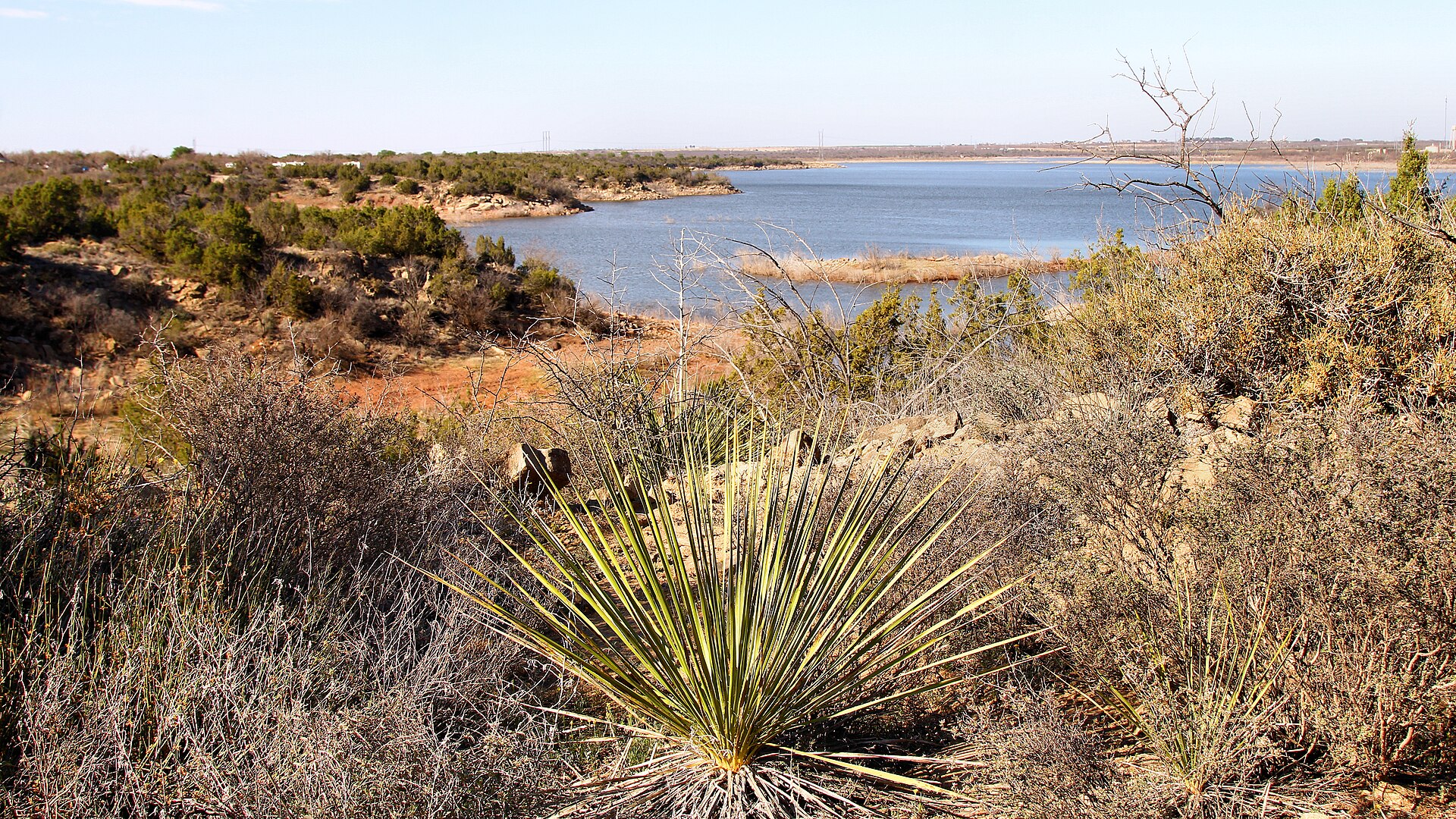
    San Angelo State Park

    A large Concho Valley park on O.C. Fisher Reservoir with miles of hiking, biking and equestrian trails, wildlife habitat and a landscape tied to the official Texas State Longhorn Herd.

    Best season: Fall through spring; summer heat can be severe
    • Extensive hiking, biking and equestrian trails
    • Texas State Longhorn Herd connection
    • O.C. Fisher Reservoir
    Explore this place
  • Comstock · Val Verde County · Big Bend Country

    Seminole Canyon State Park & Historic Site

    Explore Lower Pecos canyon country west of Comstock, with ancient rock-art context, ranger-led access to cultural sites, desert hiking and striking limestone overlooks.

    Best season: Winter through early spring is the busy season; cooler weather is better for exposed canyon hiking.Updated Oct 2026
    • Lower Pecos canyon and Indigenous rock-art heritage
    • Fate Bell Shelter guided interpretation
    • Official park and trails maps
    Explore this place
  • El Paso · El Paso County · Big Bend Country

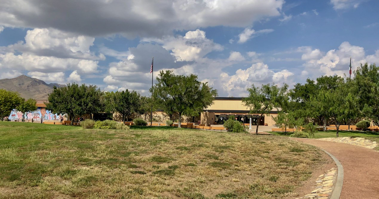
    Chamizal National Memorial

    Discover how a shifting Rio Grande led to a century-long U.S.–Mexico boundary dispute—and how diplomacy, public art and borderlands culture shape Chamizal National Memorial in El Paso today.

    Best season: Fall through spring for comfortable outdoor walking; indoor exhibits make the site useful year-roundUpdated Oct 2026
    • Nuestra Herencia mural celebrating borderlands history and culture
    • Cultural Center museum exhibits, Abrazos Gallery and short orientation film
    • Benito Juárez sculpture overlooking the El Paso–Ciudad Juárez borderlands
    Explore this place
  • Presidio · Presidio County · Big Bend Country

    Big Bend Ranch State Park

    Texas' largest state park, stretching through remote Chihuahuan Desert mountains, canyons and Rio Grande country west of Presidio with rugged roads, trails and primitive camps.

    Best season: October through April; summer heat can be dangerousUpdated Nov 2026
    • Rio Grande canyon country
    • Remote Chihuahuan Desert backcountry
    • Hiking, mountain biking and horseback riding
    Explore this place
  • Big Spring · Howard County · Big Bend Country

    Big Spring State Park

    A compact West Texas park atop Scenic Mountain, where a CCC-built loop road and overlooks provide broad views across Big Spring and the surrounding plains.

    Best season: Fall through spring; sunrise and sunset are especially rewarding
    • Scenic Mountain overlooks
    • CCC-built loop road and stonework
    • Sunrise and sunset views
    Explore this place
  • El Paso · El Paso County · Big Bend Country

    Franklin Mountains State Park

    El Paso's nearly 27,000-acre mountain wilderness offers more than 100 miles of Chihuahuan Desert trails, rugged North Franklin Peak climbs, mountain biking, rock climbing and primitive camping in the Tom Mays Unit.

    Best season: October through April for most hiking; spring and fall can be pleasant but busy. Check heat, wind, storms and TPWD alerts year-round.Updated Oct 2026
    • North Franklin Peak: strenuous 8-mile hike to 7,192 feet
    • Nature Walk and Tom Mays bird blind: an easier family introduction
    • Tin Mines and Cardiac Road–Maze trails from the northeast side
    Explore this place
  • Brackettville · Kinney County · Big Bend Country

    Kickapoo Cavern State Park

    A remote western Hill Country park near Brackettville with wild-cave tours, rugged trails and seasonal evening flights of Mexican free-tailed bats from Stuart Bat Cave.

    Best season: Spring and fall for hiking; bat flights are seasonalUpdated Oct 2026
    • Guided wild-cave tours in Kickapoo Cavern
    • Seasonal bat flights from Stuart Bat Cave
    • Rugged limestone hiking and mountain biking
    Explore this place
  • Del Rio · Val Verde County · Big Bend Country

    Amistad National Recreation Area

    Plan boating, shoreline fishing and desert camping at the Rio Grande's international Amistad reservoir near Del Rio, where fluctuating water levels change boat-ramp access and NPS lake-use passes govern registered vessels.

    Best season: Fall through spring for mild weather; summer is very hotUpdated Oct 2026
    • Amistad Reservoir's desert-water scenery and boating
    • Ramp-by-ramp access subject to rapidly changing lake elevation
    • Distinct NPS Lake Use Pass requirement for registered vessels
    Explore this place
  • Colorado City · Mitchell County · Big Bend Country

    Lake Colorado City State Park

    A quiet West Texas reservoir park near Colorado City with fishing, boating, camping and open prairie-and-mesquite scenery under big skies.

    Best season: Fall through spring; summer heat can be intenseUpdated Oct 2026
    • Lake Colorado City
    • Fishing and boating
    • Open West Texas scenery
    Explore this place

24 of 40 places shown