Skip to content
Big Bend Ranch State Park in Texas

Big Bend Country · State Parks

Big Bend Ranch State Park

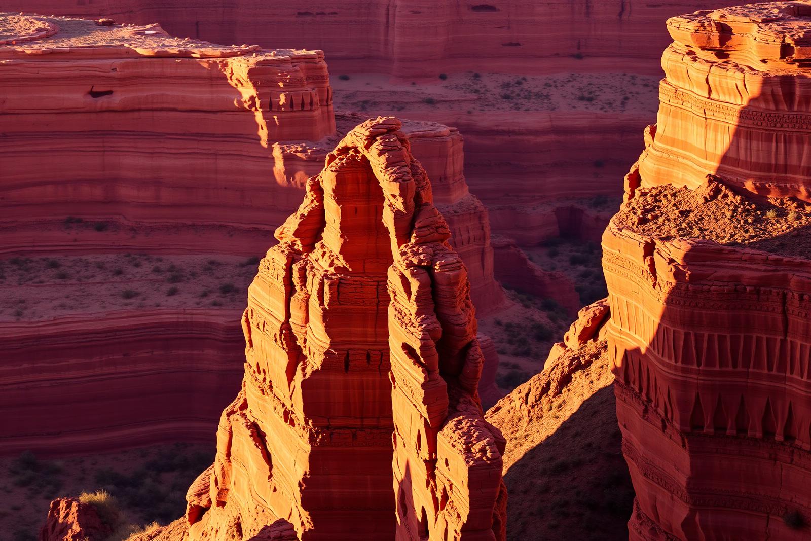
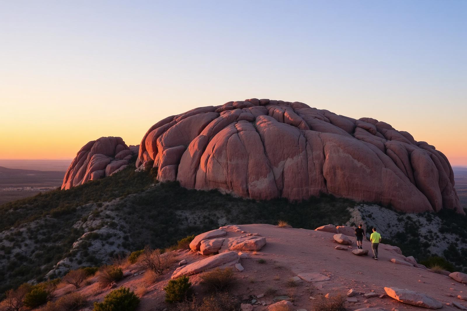
Texas' largest state park, stretching through remote Chihuahuan Desert mountains, canyons and Rio Grande country west of Presidio with rugged roads, trails and primitive camps.

Photography: Jcllorca · CC BY-SA 3.0 · Wikimedia Commons · Creative Commons license

Quick trip facts

Big Bend Ranch State Park at a glance

Where is Big Bend Ranch State Park?
Big Bend Ranch State Park is at 1900 Sauceda Ranch Road, Marfa, TX 79845, in Presidio County.
When is the best time to visit Big Bend Ranch State Park?
October through April; summer heat can be dangerous
Do I need to plan ahead for Big Bend Ranch State Park?
This is remote backcountry. Road conditions, high-clearance requirements, water availability and campsite access vary; study current TPWD guidance before entering.
Who manages Big Bend Ranch State Park?
Texas Parks and Wildlife Department

The experience

Visiting Big Bend Ranch State Park

Big Bend Ranch State Park stretches across remote Rio Grande and Chihuahuan Desert country where the proper entrance matters as much as the trail. A visitor seeking an exhibit or permit counter should not drive to the Sauceda interior ranger station as though the entire park were one conventional campground. The western and eastern visitor gateways are separate sites on FM 170, and park districts have different access, camping and reservation requirements.

Start at the EAST gateway, Barton Warnock Visitor Center, 21800 FM 170 in Terlingua, about a mile east of Lajitas. TPWD gives the office GPS coordinates 29.269902, -103.757351 and phone 432-424-3327. The center is an interpretation and permit stop, not a standalone full-hookup campground. Inside, TPWD's Una Tierra – One Land exhibition describes the natural and cultural history of the Big Bend region in English and Spanish. Outside, a two-acre native Chihuahuan Desert garden connects the park's interpretive story to the plants visitors will encounter on the drive and trails.

Barton Warnock's operational role is also specific. Travelers can obtain backpacking, camping and river-use permits and consult rangers about routes, current alerts, water needs, and the River and Interior districts. TPWD says permits for some backcountry camping must be obtained on arrival and are not advance-reservable; other day-use and campground entries should be booked ahead. Do not assume paying a park day pass covers a remote campsite or that the visitor center is the designated overnight camping area.

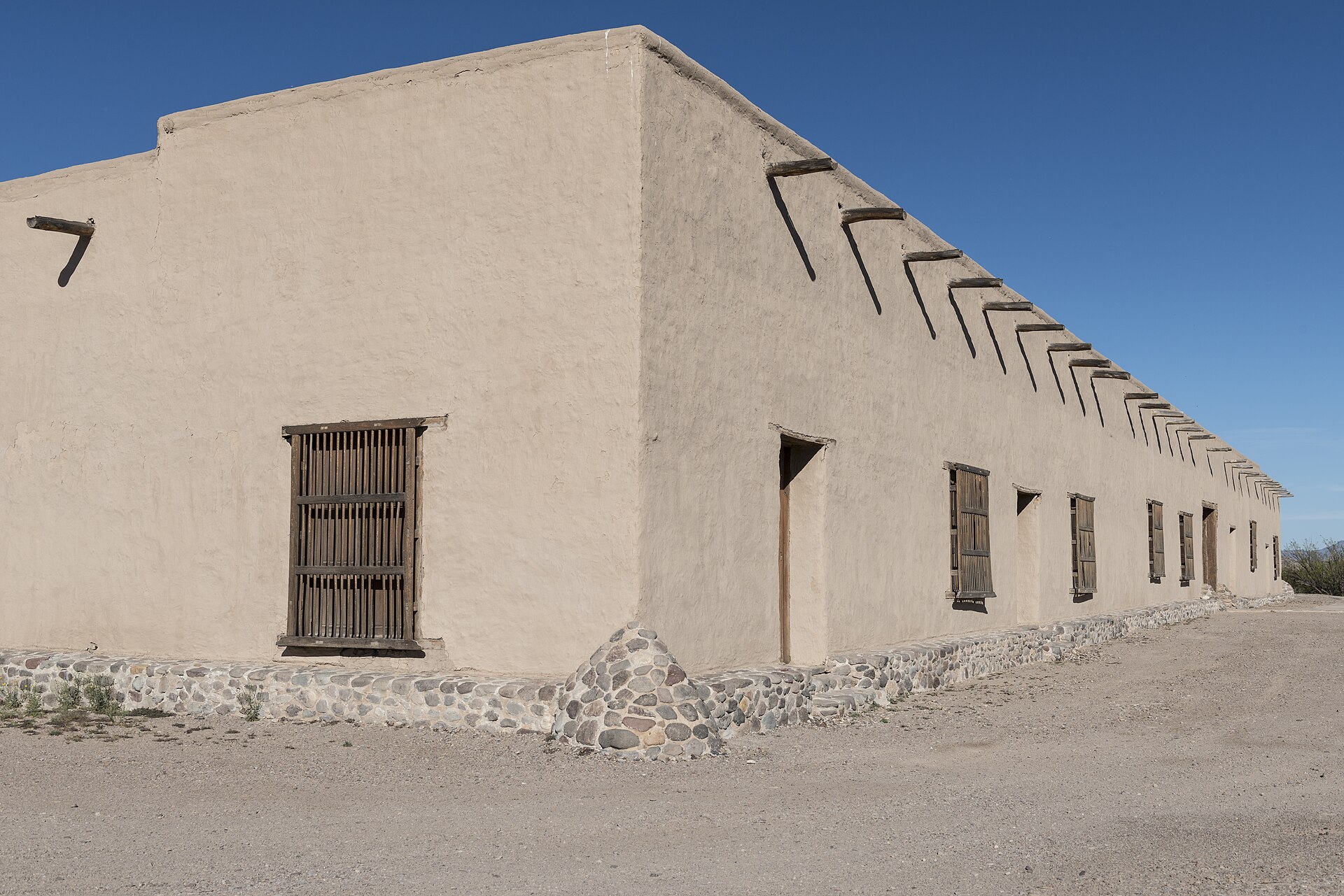
The WEST gateway is Fort Leaton State Historic Site, 16952 FM 170 East, about four miles southeast of Presidio; TPWD lists GPS 29.542511, -104.326348 and 432-229-3613. Unlike Barton Warnock, Fort Leaton also preserves a historic adobe trading post and self-guided exhibits about the La Junta de los Ríos borderlands. Visitors whose goal is Texas history can tour the old trading post and then continue to scenic River Road, while overnight travelers can use the same western office for Big Bend Ranch information and required permits.

TPWD presently lists both entrance offices open from 8 a.m. to 4:30 p.m. daily, closed December 25. Rates and day-pass or campground availability change; use the operator's current pages for confirmation. Barton Warnock is associated with the eastern end of the park, not with ordinary entry through Presidio. Fort Leaton is the western point, not the entrance closest to Lajitas. Allow substantial drive time if your route involves both; do not navigate to the shared Sauceda address merely to find a permit office.

Interior camping is especially remote. Sauceda lies 27 miles down rugged dirt road from FM 170 and TPWD warns against motorhomes and trailers on that approach. At ordinary wilderness sites, do not assume drinking water or toilets. The park's maps distinguish River and Interior district access and the specific road to each campsite. A wrong turn, last-minute entrance closure or underestimate of ground clearance can be consequential in a landscape with little shade and unreliable cellular signal.

Extreme weather is a year-round planning issue. In warmer months TPWD warns of dangerous afternoon temperatures, and sudden summer storms can turn dry creek crossings into flash-flood channels. Set an appropriate return time, carry extra water and fuel, inform someone of the planned route, and use downloaded official maps. Dogs are permitted on only certain park trails; do not infer that a visitor-center garden, historic adobe compound and backcountry hike share the same pet rules.

Travelers who only want a short scenic visit can focus on the FM 170 River Road corridor and stop at the appropriate gateway for information rather than booking an interior campsite. A history-first trip works better from Presidio through Fort Leaton; an interpretation-and-desert-garden visit works better from the Lajitas side at Barton Warnock. Both are real places with distinct roles, and neither should be described as a separate standalone state park with electric RV hookups.


The details

Planning your visit

Area
Presidio, Texas
Best season
October through April; summer heat can be dangerous
Address
1900 Sauceda Ranch Road, Marfa, TX 79845
Entry & reservations
This is remote backcountry. Road conditions, high-clearance requirements, water availability and campsite access vary; study current TPWD guidance before entering.
Getting there
Three distinct points serve this very large park: Barton Warnock Visitor Center (east FM 170), Fort Leaton (west FM 170) and Sauceda Ranger Station (interior). Sauceda Ranch Road is the only interior approach, about 27 miles of rugged dirt road from FM 170. RVs and trailers are not recommended; the northern access shown by some map apps is permanently closed. Check in at an entrance before proceeding.

Texas State Parks · trip planning

Park entrances, facilities and visitor maps

Amenities can differ by park unit, campsite and season. The details below are park-specific where checked against TPWD. For changing hours, reservations, trail conditions and facility availability, use the park's official visitor resources.

Restrooms and showers
Primitive hike-in backcountry camps have no restrooms or drinking water. Do not assume a developed bathhouse or toilet at remote River/Interior district campsites; confirm the assigned site and check-in gateway with TPWD before traveling.
Parking, entrance and access
Check in first at Barton Warnock (east) or Fort Leaton (west) along FM 170 before driving to an interior campsite. Maps distinguish river-road access from Sauceda interior routes.
Camping, RV hookups and drinking water
Drive-in campsites are primitive in the River and Interior districts; permitted backcountry hike-in camping has no drinking water or restrooms. Check in for required permits and match the access road to vehicle clearance before reserving.
Trails, parking and visitor maps
TPWD supplies a complex overview plus several regional topographic, Closed Canyon and Contrabando Trail System maps.
Access restrictions and current visitor rules
The park interior is closed to ordinary visitors during several TPWD-announced hunting periods in October, November and December 2026, including November 21–25 and December 6–10 and 13–17; only permitted hunters may enter the interior during those posted windows. Check exact closure hours before reserving remote sites. Sauceda Ranch Road is 27 miles of rugged dirt road from FM 170; RVs and trailers are not recommended. The old north entrance is permanently closed. Sauceda Ranger Station has limited and varying staff services, though TPWD lists restrooms and showers there as available 24/7; camping and day-use check-in is at Fort Leaton or Barton Warnock. Route to the correct district and unit, not simply the park's map pin.

Park-specific visitor facts checked 2026-10-15 against the TPWD source. Additional campsite or day-use details: official TPWD facilities record. Additional official TPWD reference: TPWD source page.

Explore Texas state parks

Plan the route

Explore related places

Editorially paired stops near Big Bend Ranch State Park appear first, followed by nearby destinations. Distances are approximate straight-line miles.

  • Presidio · Presidio County · Big Bend Country

    Fort Leaton State Historic Site

    Walk a fortified nineteenth-century adobe trading post east of Presidio, learn about the older La Junta settlements, and use the site as Big Bend Ranch State Park's western permit and information gateway.

    Best season: September through April is the busier season; cooler weather is generally safer for a self-guided desert history visit.Updated Nov 2026
    • Explore the surviving fortified adobe trading post built in 1848
    • Read about Juana Pedrasa, Ben Leaton and the La Junta trading corridor
    • Follow TPWD's self-guided historic-site walking tour
    Explore this place

    Approx. 23 miles away

  • Terlingua · Brewster County · Big Bend Country

    Terlingua

    Terlingua is a remote Brewster County desert community and former quicksilver-mining district immediately outside Big Bend National Park, known for its living ghost-town landscape, mountain views, dark skies, local gathering places and role as a practical Big Bend basecamp.

    Best season: Late fall through early spring for desert hiking and outdoor touring; summer requires extreme-heat precautions and shorter outdoor windowsUpdated Sep 2026
    • Terlingua Ghost Town
    • quicksilver-mining history
    • Big Bend gateway
    Explore this place

    Approx. 23 miles away

  • Presidio · Presidio County · Big Bend Country

    Presidio

    Presidio is a remote Rio Grande border community and western gateway to Big Bend Ranch State Park, combining deep La Junta history, Mexican-American border culture, Fort Leaton, dark skies and the celebrated FM 170 River Road through one of Texas' most dramatic desert landscapes.

    Best season: Late fall through early spring for desert travel; February through April for possible Big Bend bluebonnets; year-round for border culture with strong summer heat precautionsUpdated Sep 2026
    • Fort Leaton
    • FM 170 River Road
    • Big Bend Ranch State Park gateway
    Explore this place

    Approx. 26 miles away

  • Alpine · Brewster County · Big Bend Country

    Elephant Mountain Wildlife Management Area

    Elephant Mountain WMA protects 23,147 acres of Trans-Pecos desert and mountain habitat south of Alpine and is especially important to Texas desert bighorn sheep conservation and research.

    Best season: Late spring through summer for the seasonal driving tour, or fall through spring for cooler general wildlife viewing when access is open.Updated Sep 2026
    • Desert bighorn sheep conservation
    • Trans-Pecos mountain habitat
    • Seasonal driving tour
    Explore this place

    Approx. 44 miles away

  • Terlingua · Brewster County · Big Bend Country

    Big Bend National Park

    A vast Chihuahuan Desert national park where the Rio Grande, the Chisos Mountains and some of Texas's most dramatic canyon country meet, with scenic drives, long-distance hiking, dark skies and enough geographic range to reward several days rather than a single overlook stop.

    Best season: Fall through spring for hiking and lower-elevation exploring; summer heat can be extreme, so warm-season plans should favor early starts, higher elevations and conservative distancesUpdated Aug 2026
    • Santa Elena Canyon and the Rio Grande
    • Chisos Basin, the Window and high-country trails
    • Ross Maxwell Scenic Drive and desert geology
    Explore this place

    Approx. 46 miles away

  • Marfa · Presidio County · Big Bend Country

    Blackwell School National Historic Site

    Visit Marfa's surviving segregated school and hear Mexican American students' accounts of education, language suppression and community preservation at a National Park Service historic site.

    Best season: Year-round, with opening days and the availability of tours more important than season; check the National Park Service schedule before traveling.Updated Oct 2026
    • Original 1909 adobe schoolhouse and 1927 Band Hall
    • Student and teacher photographs, recollections and interpretive exhibits
    • A Mexican American civil-rights history stop in residential Marfa
    Explore this place

    Approx. 58 miles away

Read next

More from State Parks

State Parks

Down Into the Panhandle

A complete first-timer’s guide to the Lighthouse Trail at Palo Duro Canyon: distance, heat, water, timing, the final climb, and how to make the canyon a full day instead of one photograph.

August 20, 2026 · About 8 minutes

State Parks

The Texas State Park You Should Start With

There is no single best park. There is a best first park for the kind of Texas you want to understand — canyon, coast, granite, forest or river.

August 7, 2026 · About 3 minutes