Full day
One-day sampler
- Chisos Basin overlooks
- Scenic desert drive
- Sunset at a Rio Grande or desert viewpoint

Big Bend Country · National Parks
Explore Big Bend's Chisos Mountains, Chihuahuan Desert and Rio Grande canyons using current NPS road closures, campground reservations and correct 2026 Chisos Basin construction status.
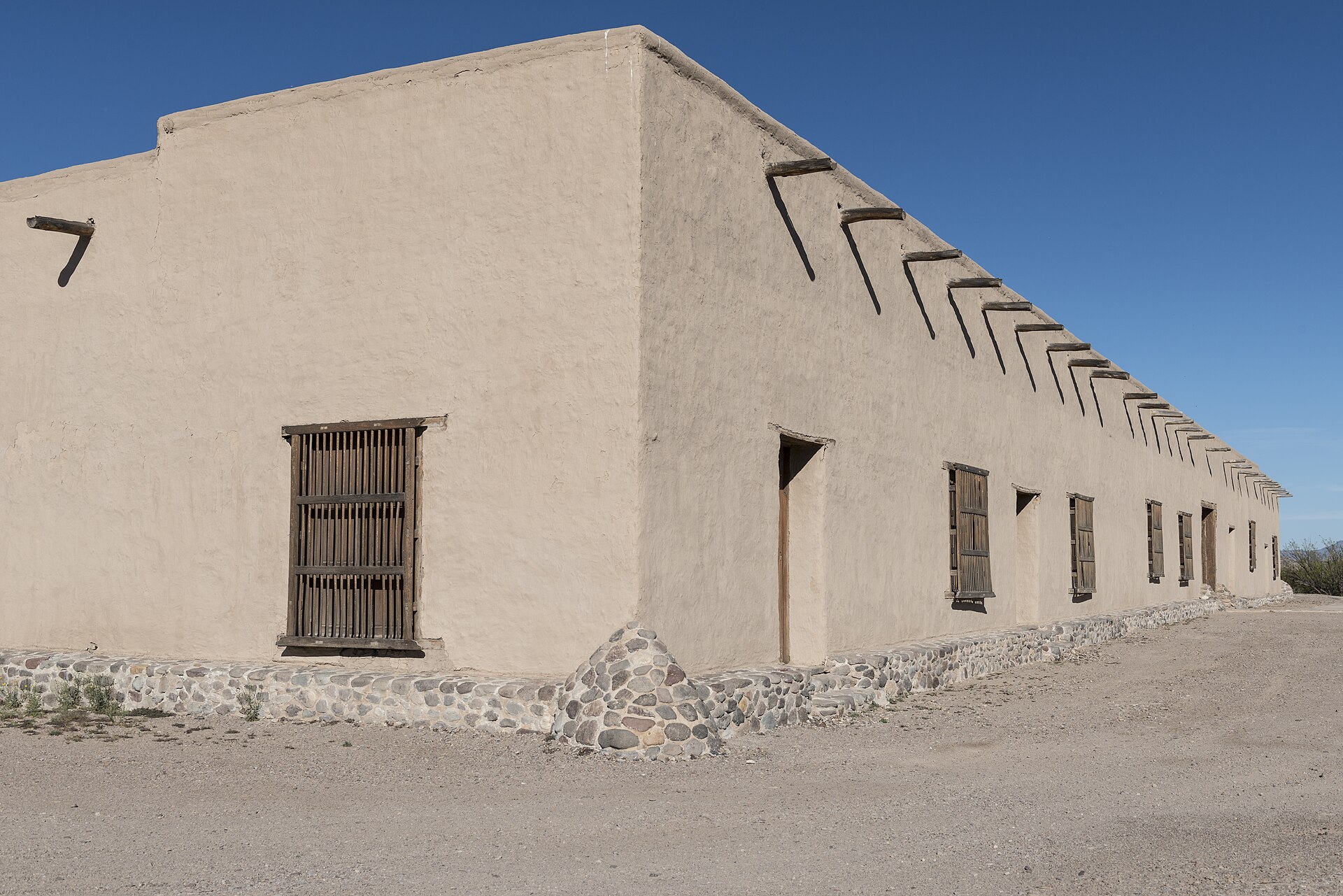
Photography: National Park Service · Public domain · Wikimedia Commons
Quick trip facts
The experience
Big Bend National Park is a landscape-scale destination rather than a conventional attraction. The park protects a huge sweep of the Chihuahuan Desert along the Rio Grande, then rises abruptly into the Chisos Mountains at its center. That vertical range is why a single day can include low desert, mountain forest, river canyons and viewpoints that feel completely different from one another.
For a first visit, Panther Junction is the practical orientation point before choosing a direction. Ross Maxwell Scenic Drive leads toward some of the park's most recognizable geology and Santa Elena Canyon, while the Chisos Basin road climbs into cooler mountain country and trailheads around the Window. The distances between these areas are substantial, so itinerary planning matters more here than at most Texas parks.
Santa Elena Canyon is the visual shorthand for Big Bend: limestone walls rise sharply above the Rio Grande as the river cuts through the mesa. The short canyon approach is one of the park's most accessible headline experiences when river conditions allow, but the drive there also passes overlooks, volcanic formations and historic ranching sites that make Ross Maxwell Scenic Drive worth treating as a destination in its own right.
The Chisos Mountains create Big Bend's other essential experience. Higher elevations offer cooler temperatures, forested slopes and trails that look back across the desert for enormous distances. Ambitious hikers can tackle long mountain routes, while shorter walks and the accessible Window View Trail give travelers a useful taste of the basin without committing to a strenuous day.
Big Bend rewards caution as much as ambition. Summer heat at lower elevations can become life-threatening, water sources are unreliable, cell service is limited and flash flooding can quickly change roads or washes. Carry more water and fuel than a city trip would require, tell someone your plans and treat official weather, road and trail advisories as part of the itinerary rather than an afterthought.
The park also works best as part of a wider Big Bend region trip. Terlingua and Study Butte provide the closest visitor services outside the western entrance, Big Bend Ranch State Park continues the desert-and-river scenery west toward Presidio, and Marathon is the classic eastern gateway. Alpine, Marfa and Fort Davis can extend the trip into a broader West Texas route when there is time for several days.
Big Bend National Park covers an immense region of Chihuahuan Desert, Chisos Mountains and Rio Grande canyons. It is not a single trailhead or a quick detour: Panther Junction, the Chisos Basin, Rio Grande Village and Santa Elena Canyon are separated by large driving distances. Organize the trip by geographic district, verify fuel and drinking-water stops before entering, and allow a day for even one demanding hiking area rather than relying on short map distances.
The most important 2026 visitor correction is construction status. The National Park Service announced that the planned Chisos Mountains Lodge reconstruction and Chisos Basin closure would not proceed as originally scheduled because of funding and design complications. Older NPS pages still describe a May 2026 shutdown, but the agency's April 2026 cancellation notice and October 15 conditions page show Chisos Basin visitor services operating with their own posted hours. Do not cancel a trip or advertise a closure on the strength of the obsolete construction timeline.
Severe-weather and flood damage still create genuine closures elsewhere. In its October 15 conditions update, NPS listed the paved connection from Cottonwood Campground toward Santa Elena Canyon, Old Maverick, Grapevine Hills, Hot Springs, Paint Gap, River Road East and West, portions of Glenn Springs, Old Ore and Black Gap among closed or restricted roads. These are dated conditions, not permanent classifications. Use official NPS current notices on the morning of travel; an ordinary sedan, rental SUV or RV must never be directed onto high-clearance four-wheel-drive primitive roads.
The famous Santa Elena Canyon Trail begins with a crossing of Terlingua Creek. Mud, flash floods or current water can make the crossing impassable, even if the canyon is visible from the road. Do not encourage hikers to ford flowing water or continue across a washed-out entry. Likewise, a Rio Grande boating itinerary depends on water levels, backcountry permits, legal launch/landing rules and shuttles. A scenic photograph of the river is no substitute for a current river report.
NPS requires reservations for developed park campgrounds rather than assuming first-come sites, and a separate backcountry permit for designated remote camps and river trips. No dispersed roadside 'boondocking' is allowed wherever a vehicle can pull off; stay at the exact permitted site. NPS prohibits wood and ground fires across the park but permits charcoal in suitable above-ground grills under its standing rules, subject to any stricter temporary fire notice. Check campground and concessions status independently, as seasonal Cottonwood closures and changing Chisos restaurant service affect meal and lodging plans.
The details
Evidence and citations
Read the original operator records and supporting research for this guide.
Primary source for current visitor access, operating guidance and attraction information.
NPS cultural-history context for the Big Bend landscape.
NPS geology and landscape interpretation supporting the park's Texas significance.
Tours & bookable experiences
TexasDefined handles the destination planning. Viator can be useful for guided tours, tickets and organized activities near Terlingua. Availability changes, so the booking link checks current inventory rather than promising a specific product.
Previously observed Big Bend & Terlingua inventory categories: Outdoor adventure · On the water. Snapshot reviewed ; this is historical context, not confirmation of currently bookable products. Check current listings before choosing an experience.
Affiliate disclosure: TexasDefined may earn a commission from qualifying Viator bookings, at no additional cost to you.
Practical questions
The visit
Texas context
Big Bend protects an enormous Chihuahuan Desert landscape where the Rio Grande, desert basins and Chisos Mountains meet. Its remoteness, geology, biodiversity and dark skies make it one of the clearest places to understand the scale and ecological variety of far West Texas.
Use the time you have
Full day
2 days
3–4 days
Before you go
Connected museum guides
Museum guides relevant to Terlingua and its surrounding history. Tickets, hours and travel arrangements are separate at each institution.
Alpine · Brewster County
Around the area
Big Bend's remoteness makes the surrounding towns and public lands part of the experience. The most useful bases are Terlingua and Study Butte on the west side, Marathon to the north-east, and Alpine farther out for a larger service center; Big Bend Ranch State Park is the natural scenic extension.
Easy additions that fit naturally around the main stop.
Near the western entrance
Historic mining ruins, a small cemetery, restaurants and desert views make Terlingua the most distinctive settlement to pair with a park day.
West of the national park
Texas's largest state park continues the Rio Grande and desert-mountain landscape toward Presidio, with scenic FM 170, hiking and rugged backcountry.
Near Lajitas
A useful introduction to Chihuahuan Desert natural history and the western Big Bend region before continuing into state-park country.
North-east gateway
A small railroad-era town with lodging, food and a strong sense of arrival for travelers approaching Big Bend from US 90.
Dining districts and food areas worth building into the same outing.
Closest west-side services
The largest concentration of restaurants, coffee and basic groceries near the park's western entrance.
Inside the park
Limited in-park food service can be useful on mountain-focused days, but travelers should still carry their own water and backup meals.
North-east of the park
A compact collection of cafes, restaurants and lodging dining for travelers using the Persimmon Gap approach.
About 80 miles north-west
The region's larger service center offers the broadest restaurant and grocery selection before or after a multi-day park stay.
The most practical lodging areas for minimizing driving and maximizing time on the ground.
Inside the park
The only developed lodging district inside the park puts visitors in the mountain basin, but availability is limited and planning ahead is important.
Near Maverick Entrance
Cabins, motels, casitas and desert rentals make this the most flexible base for the western side of Big Bend.
North-east gateway
Historic lodging and small-town stays work well for travelers entering through Persimmon Gap.
West of the park
A more resort-oriented base on the Rio Grande for travelers combining the national park with FM 170 and Big Bend Ranch State Park.
Nearby parts of the city that add character, shopping, history or nightlife.
Western gateway
A dispersed desert community built around mining history, tourism and the dramatic Chisos skyline.
North-east gateway
A walkable small-town stop along US 90 with historic architecture, galleries and a slower approach to the park.
Regional hub
A university town with museums, restaurants and services that makes a practical staging point for a longer West Texas loop.
Rio Grande west of the park
A tiny borderland community positioned between the national park and the River Road through Big Bend Ranch State Park.
Good nearby additions when the itinerary includes younger travelers.
North of Panther Junction
Open-air exhibits and fossil replicas explain the ancient animals and changing environments of Big Bend in a format that works especially well with children.
Chisos Basin
A short paved accessible loop provides mountain scenery and a sunset-friendly viewpoint without requiring a strenuous hike.
Central park
Ranger information, exhibits and orientation maps give families a useful planning reset before committing to long drives.
Ross Maxwell Scenic Drive
The canyon is a memorable family objective when conditions permit, with plenty of scenic stops available even if a full trail is not practical.
Places that justify extending the visit beyond the immediate area.
Immediately west
Extend the desert trip along FM 170 for river overlooks, trailheads and a wilder state-park landscape.
Roughly 100 miles north-west
Art, architecture and high-desert culture make Marfa a natural contrast to several days of wilderness.
Roughly 120 miles north-west
Historic Fort Davis, mountain scenery and McDonald Observatory can turn Big Bend into a broader West Texas road trip.
About 80 miles north-west
Use Alpine for a museum, restaurants and a comfortable resupply day between remote park segments.
Plan the route
Editorially paired stops near Big Bend National Park appear first, followed by nearby destinations. Distances are approximate straight-line miles.
Marathon · Brewster County · Big Bend Country
Black Gap WMA spans about 103,000 acres of Chihuahuan Desert mountains and Rio Grande country beside Big Bend National Park, making it one of Texas's largest and most remote wildlife-management landscapes.
Approx. 24 miles away
Terlingua · Brewster County · Big Bend Country
Terlingua is a remote Brewster County desert community and former quicksilver-mining district immediately outside Big Bend National Park, known for its living ghost-town landscape, mountain views, dark skies, local gathering places and role as a practical Big Bend basecamp.
Approx. 25 miles away
Presidio · Presidio County · Big Bend Country
Texas's largest state park, with rugged Chihuahuan Desert mountains, Rio Grande access, primitive camping, and remote backcountry trails.
Approx. 44 miles away
Alpine · Brewster County · Big Bend Country
Elephant Mountain WMA protects 23,147 acres of Trans-Pecos desert and mountain habitat south of Alpine and is especially important to Texas desert bighorn sheep conservation and research.
Approx. 53 miles away
Presidio · Presidio County · Big Bend Country
Walk a fortified nineteenth-century adobe trading post east of Presidio, learn about the older La Junta settlements, and use the site as Big Bend Ranch State Park's western permit and information gateway.
Approx. 69 miles away
Presidio · Presidio County · Big Bend Country
Presidio is a remote Rio Grande border community and western gateway to Big Bend Ranch State Park, combining deep La Junta history, Mexican-American border culture, Fort Leaton, dark skies and the celebrated FM 170 River Road through one of Texas' most dramatic desert landscapes.
Approx. 72 miles away
Texas Explained
Go beyond the destination with the systems, landscapes and history that explain why this part of Texas looks and works the way it does.
Continue exploring
Read next
National Parks
Big Bend and Guadalupe Mountains are both desert parks, but they ask different things of a traveler. Here is how to choose between them — or plan for both.
August 7, 2026 · About 3 minutes