
County Guide
Brewster County
From Alpine's courthouse square to Terlingua and the Chisos Mountains, Brewster County packs desert geology, border history, ranching, mining and one of America's great national parks into the largest county in Texas.
- Guide type
- Texas county guide
- County seat
- Alpine, Texas
- Source check
- Official source checked
- Last reviewed
- August 4, 2026
Verified county profile
What the data says about Brewster County
The 2020 Census counted 9,546 residents across about 6,184 square miles of land. Dividing those two Census figures gives roughly 1.54 residents per square mile.
Census geography also records about 9 square miles of water. Water represents approximately 0.1% of the county's mapped land-and-water area.
Alpine is the verified county seat.
Texas Defined does not add an unsourced list of local communities. Additional places appear here only when the structured place directory contains a verified county relationship.
Understand the bigger picture
These Texas Explained guides add statewide context to the geography, settlement and infrastructure behind Brewster County.
Explore Texas Explained →Historic places in this county
History you can visit in Brewster County
Texas Defined currently connects 4 historic destinations to this county guide.
Statewide context
Where Brewster County sits in the county data
These ranks use the same Texas State Library and U.S. Census county dataset as the statewide comparison. A rank is shown only when that metric is available for the county and the comparison set; missing source values are excluded rather than estimated.
- 2020 population
- #169
- of 254 counties with source data
- land area
- #1
- of 254 counties with source data
- population density
- #234
- of 254 counties with source data
- water share
- #202
- of 254 counties with source data
Property tax rates
Taxing units in Brewster County
Texas property taxes are imposed by separate local taxing units. The table below lists finalized statewide records associated with Brewster County. A district appearing here does not mean every property in the county pays that district; use the exact parcel record to determine jurisdiction.
Checking finalized local tax rates…
At a glance
The county in numbers
- County seat
- Alpine, Texas
- 2020 population
- 9,546
- Land area
- 6,184 sq. mi.
- Water area
- 9 sq. mi.
- Population density
- 1.54 / sq. mi.
- Water share
- 0.1%
County questions
Quick answers about Brewster County
What is the county seat of Brewster County?
Alpine, Texas is the county seat of Brewster County.
How many people live in Brewster County?
The 2020 U.S. Census counted 9,546 residents in Brewster County.
How densely populated is Brewster County?
Using the 2020 Census population and Census land-area figure, Brewster County has about 1.54 residents per square mile. This is a derived density figure, not a separate Census estimate.
What cities and communities are in Brewster County?
Brewster County includes communities such as Alpine. City limits, mailing addresses and county boundaries do not always match, so verify an exact address when county jurisdiction matters.
Where do I look up property taxes in Brewster County?
TexasDefined has not yet published a county-specific property-tax guide for Brewster County because its local source verification is still incomplete. Use the statewide county property-tax directory and the official local office links on this page while verification is pending.
How do I research industries and employers around Brewster County?
Start with the Texas industries hub to understand the statewide sector system, then use Made in Texas and local sources to verify which companies and facilities are actually tied to Brewster County. TexasDefined does not treat a statewide industry page as proof that a specific employer operates in this county.
How do I find official Brewster County government information?
Start with the official Brewster County website for county departments, services, courts and records. For property values, exemptions and protests use the appraisal district; for tax bills and payments use the office designated by the taxing unit. TexasDefined links to the statewide property-tax county directory until this county-specific tax guide passes source verification.
Property taxes
County property-tax resources
Property-tax questions in Brewster County involve several separate authorities. Until the county-specific tax guide passes source verification, use the statewide county property-tax directory plus the official appraisal and tax-office resources shown here.
Property & county services
Official local resources
Property appraisal
Chief appraiser: Bill Gonzalez, Interim
Phone: 432-837-2558
1604 W. Hwy. 90 Alpine, TX 79830-4315
Comptroller office listing updated 2026-05-05; confirm contact details with the district before visiting.
Tax office
Tax assessor-collector: Sylvia Vega
Phone: 432-837-2214
107 W. Avenue E #1 Alpine, Texas 79830-4618
Comptroller office listing updated 2025-03-03; confirm vehicle and tax service details with the office before visiting.
Waterways
Rivers connected to Brewster County
Explore these rivers in their regional context. A county connection alone does not establish public river access, camping, parking or a safe paddling launch.
County feature
The story of Brewster County
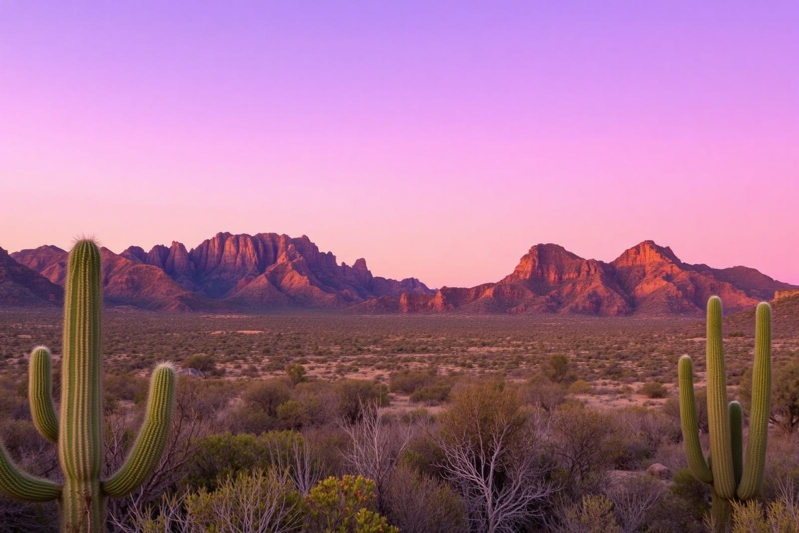
Brewster County: The Texas County Bigger Than Some States
From Alpine's courthouse square to Terlingua and the Chisos Mountains, Brewster County packs desert geology, border history, ranching, mining and one of America's great national parks into the largest county in Texas.
Published August 7, 2026 · 11 min read
Brewster County makes ordinary Texas scale feel small. It covers more than 6,100 square miles of land, making it the largest county in Texas by area. Yet fewer than 10,000 people live there. The result is a place where the landscape—not the skyline—sets the terms.
This is the county of Alpine, Marathon, Terlingua and a huge share of Big Bend National Park. It is Chihuahuan Desert and mountain country, cut by arroyos and volcanic rock, with the Rio Grande tracing the international boundary along the south. The distances are real, the night sky is enormous, and the history is far more layered than the popular image of an empty desert suggests.
First, understand the size
The U.S. Census Bureau measures Brewster County at 6,183.8 square miles of land. That is larger than Connecticut and Rhode Island combined. The 2020 Census counted 9,546 residents, and the Census Bureau's July 2025 estimate was 9,458.
Those two numbers explain a great deal about life here. Brewster is not merely rural; it is spacious on a scale that changes how people think about errands, emergency services, school trips and a casual drive to the next town. A map can make Alpine, Marathon, Terlingua and the national park look like neighboring stops. On the ground, they are separated by serious West Texas miles.
Alpine is the county's front porch
Alpine is the county seat and its main civic and commercial center. The town took shape with the arrival of the Southern Pacific Railroad in 1882, becoming a transportation and supply point for ranchers and mining operations across the Trans-Pecos.
The railroad town grew into something unusual for such a remote part of Texas: a courthouse town, university town and tourism base all at once. Sul Ross State University added an educational anchor, while generations of travelers learned to use Alpine as a jumping-off point for Big Bend country.
In 2026, the Alpine Downtown Historic District was listed in the National Register of Historic Places. The district covers roughly 40 blocks and includes the Brewster County Courthouse and Jail, the Holland Hotel, Hotel Ritchey and buildings made with the pink and red volcanic stone quarried in the Davis Mountains region.
The courthouse tells the county's origin story
Brewster County was created in 1887 from Presidio County territory. Alpine—then transitioning from the name Murpheyville—became the county seat, and the courthouse and jail built that year became physical statements that the new county had arrived.
The county grew again in 1897 when the short-lived Buchel and Foley counties were abolished and their territory was attached to Brewster. That change helped produce the giant outline Texans recognize today.
The courthouse remains one of the most useful places to understand Brewster County. In a landscape famous for wilderness, the old county complex is a reminder that the region's history is also about the practical work of building towns, keeping records and creating local government across enormous distances.
Big Bend is not empty country
Calling the Big Bend 'empty' erases much of its story. Archaeological evidence in what is now Big Bend National Park records human presence stretching back thousands of years. Native peoples lived in and traveled through this landscape long before modern borders or county lines existed.
The region's history is inseparable from Mexico. Mexican and Mexican American families lived, farmed and ranched in the Big Bend before large-scale Anglo-American settlement. Vaquero traditions shaped cattle culture on both sides of the Rio Grande, and communities along the river maintained family and commercial connections that did not fit neatly into a modern border narrative.
Later came ranches, mines, wax camps, military posts and small agricultural settlements. The ruins scattered through the national park are not props in a wilderness scene; they are traces of communities that tried to make a living in a demanding landscape.
Terlingua grew from quicksilver
Terlingua is now associated with desert tourism, porch conversations, chili and an eccentric off-grid spirit. Its earlier boom came from cinnabar, the ore used to produce mercury—historically called quicksilver.
Mining drew workers and families into a remote district where an industrial community developed in the desert. When the mining economy faded, much of the settlement did too. The surviving ruins helped create the 'ghost town' identity that later attracted travelers, artists and new residents.
Modern Terlingua is therefore several places layered together: mining district, borderland community, ghost town, tourism hub and living desert settlement.
Then Texas gave Big Bend to the nation
The movement to preserve the Big Bend accelerated in the 1930s. Texas established a state park precursor, and Congress authorized a national park in 1935. Texas later transferred the assembled land to the federal government, and Big Bend National Park was formally established on June 12, 1944.
The park now protects more than 800,000 acres. Elevations rise from below 1,800 feet near the Rio Grande to nearly 8,000 feet in the Chisos Mountains, creating dramatic ecological changes within the same park.
Big Bend's preservation also changed Brewster County's future. Mining and ranching never vanished from the broader regional story, but tourism, conservation, science and outdoor recreation became defining parts of the county's identity and economy.
A county built out of geology
Brewster County is a particularly good place to see that Texas is geologically complicated. Mountain building, volcanic activity, erosion and ancient seas all left evidence here. Big Bend National Park alone has drawn geologists for more than a century because so many chapters of Earth history are exposed in one landscape.
The Chisos Mountains are the visual centerpiece, but the county also contains desert basins, badlands, canyons, limestone, volcanic formations and the river corridor. The scenery changes quickly enough that a drive can feel like crossing several different versions of West Texas.
The Rio Grande is both boundary and connector
On a political map, the Rio Grande marks the international boundary. In local history, it has also connected communities. Families, trade, ranching and agriculture developed on both sides of the river long before today's border infrastructure.
That dual identity—border and connection—is essential to understanding Brewster County. Mexican influence is not an imported accent on the region's culture. It is foundational to its settlement, ranching traditions, foodways and history.
A few Brewster County facts worth keeping
- Brewster is Texas' largest county by land area, at more than 6,100 square miles.
- Alpine became the county seat when Brewster County was organized in 1887.
- The county reached its modern size after Buchel and Foley counties were abolished in 1897.
- Big Bend National Park was established in 1944 after Texas transferred land for the new national park.
- The Chisos Mountains rise to nearly 8,000 feet, while the Rio Grande corridor lies below 1,800 feet in places.
- Alpine's historic downtown grew from an 1882 railroad settlement into the civic center of the largest county in Texas.
- Terlingua's famous ghost-town landscape grew around a once-important mercury-mining district.
What makes Brewster County feel different
Plenty of Texas counties have ranches. Plenty have historic courthouses. A few have national parks. Brewster's distinction is the way all of those things coexist at extreme scale.
You can drink coffee in a university town, pass an 1887 courthouse, drive through open ranch country, stand among mining ruins, climb into a mountain basin and end the day beside an international river—all without leaving one county.
That is why Brewster County is a fitting place to begin exploring Texas county by county. It demonstrates the central problem with treating Texas as one thing. Inside a single county are Indigenous history, Mexican borderlands, cattle culture, railroad development, mining, conservation, science, tourism, college-town life and some of the wildest public land in the state.
Brewster County is enormous, but its real appeal is not simply that it occupies the most space on the Texas county map. It is how much Texas history and landscape that space manages to hold.
Sources & verification
Research and official records
Research references support the editorial history and places described above. The official directories below help verify current county seats, census geography, property tax offices and vehicle services. Office personnel, contact details and links can change; check the agency website before traveling.
A claim-by-claim county-specific source list has not yet been published for this guide. The official starting points below are not a substitute for documented historical research.
Further county history research
Use the published county history as independent background reading, not as proof that every claim in this guide has been checked against that reference.
Town and local attraction guides
Explore Brewster County in more depth
Explore these independent town guides for history, primary-source links, area attractions, trip timing, access considerations and nearby places. Town boundaries and regional side trips are distinguished from the county itself.
Museum and heritage guides
Museums connected to Brewster County
Independent guides to collections, exhibits, visitor planning, accessibility and historical research. Verify each museum's current hours and admissions before traveling.
- Museum of the Big Bend
Alpine, Brewster County · Exhibits and visitor planning
Explore this county
State parks in Brewster County
Visit-ready local park guides with official maps, facilities research and nearby trip ideas. Review current park alerts and reservations before setting out.
Texas' largest state park, stretching through remote Chihuahuan Desert mountains, canyons and Rio Grande country west of Presidio with rugged roads, trails and primitive camps.
Local places to visit
More to explore in Brewster County
These additional local places complement the park, museum, beach and other destination guides on this county page. They are not ranked. For events, swimming, tours or restricted properties, always check current visitor information before traveling.
- Parks & recreation
Big Bend National Park
Major Chihuahuan Desert national park with public trailheads, scenic drives and Panther Junction visitor services; check park alerts, camping reservations and heat conditions.
RV parks & campgrounds
RV camping around Brewster County
TexasDefined currently connects 10 RV park or campground directory entries to this county. Verify hookups, rig limits, rates and reservations with the operator before travel.
- Alpine RV ParkAlpine, Texas
- Lost Alaskan RV ParkAlpine, Texas
- Mitre Peak RV ParkAlpine, Texas
- Big Bend National Park Cottonwood CampgroundBig Bend, Texas
- Big Bend National Park Rio Grande Village RV ParkBig Bend, Texas
- Chisos Basin Campground RV SitesBig Bend, Texas
- Maverick Ranch RV ParkLajitas, Texas
- BJ's RV ParkTerlingua, Texas
- Roadrunner Travelers RV ParkTerlingua, Texas
- Terlingua Ghost Town RV ParkTerlingua, Texas
Major annual events
Events worth planning around in Brewster County
Texas Defined links only to event guides backed by organizer or equivalent first-party evidence. Future recurrence-derived dates are labeled on the event guide.
Texas tournaments
Tournaments & competitions near Brewster County
Browse TexasDefined’s statewide tournament directory across golf, rodeo, team sports, fishing, BBQ, chess, esports, academic competitions and more. County relationships are published only when a location can be assigned confidently; current dates, venues and entry details require organizer verification.
Texas high school football
High school football in Brewster County
See current UIL football programs whose TEA school-directory records are in Brewster County. Use the statewide finder to compare a specific high school or ISD before choosing where to live.
Open the statewide football finder →Loading current UIL football programs…
What this tells you: current 2026–28 UIL classification, football division, district and six-man/11-man format. School, ISD, city and county context is attached only when Texas Education Agency AskTED produces an unambiguous campus match; uncertain matches are deliberately omitted.
All-time state-final history: title and appearance totals use UIL’s Football All-Time Appearances table, supplemented with newer completed state-final rows from the official State Archives when that all-time table trails the latest archive. Totals appear only on an exact normalized UIL school-name match.
Recent state-final detail: the game-level list covers the eight completed UIL championship seasons from 2018–19 through 2025–26. No history badge does not mean a weak program; it means the source did not produce an exact normalized school-name match.
This is not a “best school” rating. Football placement and recent championship history are only parts of researching a program. Attendance zones, transfers, eligibility and campus assignments can change, so confirm an exact address and student eligibility with the school district and UIL before making a move.
Researched local football programs
Football history connected to Brewster County
- Alpine Bucks football authority guide →
Big Bend-area Bucks football, current alignment and Buck Stadium research
Independent editorial guides. Game sites and district boundaries may span county lines; each listed school is linked by its campus county.