Skip to content
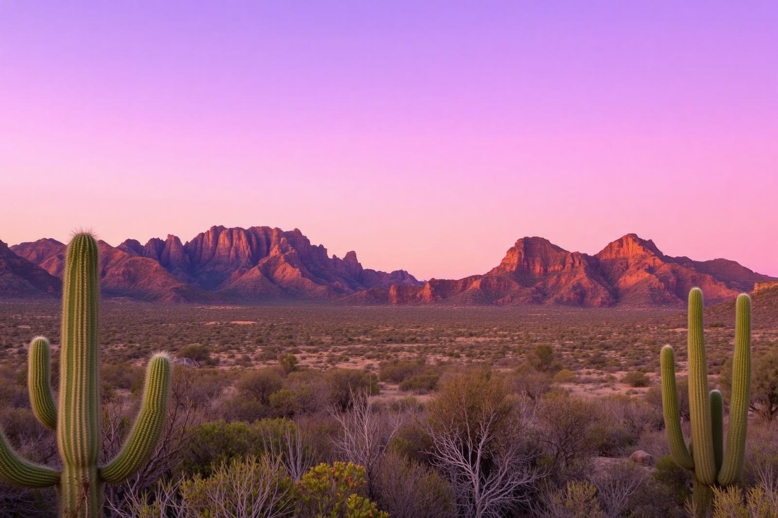
The Chisos Mountains rising over the Chihuahuan Desert in Big Bend

Big Bend Country · Outdoors & Wildlife

Chisos Basin, Big Bend

The mountain heart of Big Bend National Park, where the Chisos rise above the Chihuahuan Desert and major trails begin from a high-elevation basin surrounded by cliffs and iconic views.

Quick trip facts

Chisos Basin, Big Bend at a glance

Where is Chisos Basin, Big Bend?
Chisos Basin, Big Bend is near Terlingua, Texas.
When is the best time to visit Chisos Basin, Big Bend?
Fall through spring for the broadest hiking comfort; always check current heat, weather and access alerts
Do I need to plan ahead for Chisos Basin, Big Bend?
Big Bend National Park remains open and current NPS information says the Chisos Basin remains accessible after previously planned 2026 construction changed. Check the park's live alerts and Chisos Basin access page immediately before travel because project plans and services can change.

The experience

Exploring Chisos Basin, Big Bend

Chisos Basin is the mountain center of Big Bend National Park, sitting above the surrounding Chihuahuan Desert and ringed by the Chisos Mountains. The elevation changes the climate, vegetation and views enough that the basin feels like a separate landscape inside an already enormous park.

Many of Big Bend's best-known mountain hikes begin in or near the basin, including routes toward the Window and deeper into the Chisos backcountry. The basin also serves as a practical orientation point for visitors who want to understand how the mountain district fits into the park's much larger desert and river geography.

Planning information around the basin has changed during 2026 as National Park Service construction plans evolved. Do not rely on an older closure calendar or an old lodging assumption. Big Bend remains open, and visitors should check the current NPS Chisos Basin access page, park alerts, campground status and concession information immediately before departure.

The details

Planning your visit

Area
Terlingua, Texas
Best season
Fall through spring for the broadest hiking comfort; always check current heat, weather and access alerts
Entry & reservations
Big Bend National Park remains open and current NPS information says the Chisos Basin remains accessible after previously planned 2026 construction changed. Check the park's live alerts and Chisos Basin access page immediately before travel because project plans and services can change.

Plan the route

Explore related places

Editorially paired stops near Chisos Basin, Big Bend appear first, followed by nearby destinations. Distances are approximate straight-line miles.

  • Terlingua · Brewster County · Big Bend Country

    Big Bend National Park

    A vast Chihuahuan Desert national park where the Rio Grande, the Chisos Mountains and some of Texas's most dramatic canyon country meet, with scenic drives, long-distance hiking, dark skies and enough geographic range to reward several days rather than a single overlook stop.

    Best season: Fall through spring for hiking and lower-elevation exploring; summer heat can be extreme, so warm-season plans should favor early starts, higher elevations and conservative distancesUpdated Aug 2026
    • Santa Elena Canyon and the Rio Grande
    • Chisos Basin, the Window and high-country trails
    • Ross Maxwell Scenic Drive and desert geology
    Explore this place

    Approx. 7 miles away

  • Terlingua · Brewster County · Big Bend Country

    Terlingua

    Terlingua is a remote Brewster County desert community and former quicksilver-mining district immediately outside Big Bend National Park, known for its living ghost-town landscape, mountain views, dark skies, local gathering places and role as a practical Big Bend basecamp.

    Best season: Late fall through early spring for desert hiking and outdoor touring; summer requires extreme-heat precautions and shorter outdoor windowsUpdated Sep 2026
    • Terlingua Ghost Town
    • quicksilver-mining history
    • Big Bend gateway
    Explore this place

    Approx. 19 miles away

  • Marathon · Brewster County · Big Bend Country

    Black Gap Wildlife Management Area

    Black Gap WMA spans about 103,000 acres of Chihuahuan Desert mountains and Rio Grande country beside Big Bend National Park, making it one of Texas's largest and most remote wildlife-management landscapes.

    Best season: Late fall through early spring for moderate desert temperatures; summer access requires serious heat preparation.Updated Sep 2026
    • 103,000-acre Chihuahuan Desert landscape
    • Rio Grande frontage
    • Desert bighorn and black bear habitat
    Explore this place

    Approx. 31 miles away

  • Presidio · Presidio County · Big Bend Country

    Big Bend Ranch State Park

    Texas's largest state park, with rugged Chihuahuan Desert mountains, Rio Grande access, primitive camping, and remote backcountry trails.

    • Hiking
    • Camping
    • Biking
    Explore this place

    Approx. 40 miles away

  • Alpine · Brewster County · Big Bend Country

    Elephant Mountain Wildlife Management Area

    Elephant Mountain WMA protects 23,147 acres of Trans-Pecos desert and mountain habitat south of Alpine and is especially important to Texas desert bighorn sheep conservation and research.

    Best season: Late spring through summer for the seasonal driving tour, or fall through spring for cooler general wildlife viewing when access is open.Updated Sep 2026
    • Desert bighorn sheep conservation
    • Trans-Pecos mountain habitat
    • Seasonal driving tour
    Explore this place

    Approx. 54 miles away

  • Presidio · Presidio County · Big Bend Country

    Fort Leaton State Historic Site

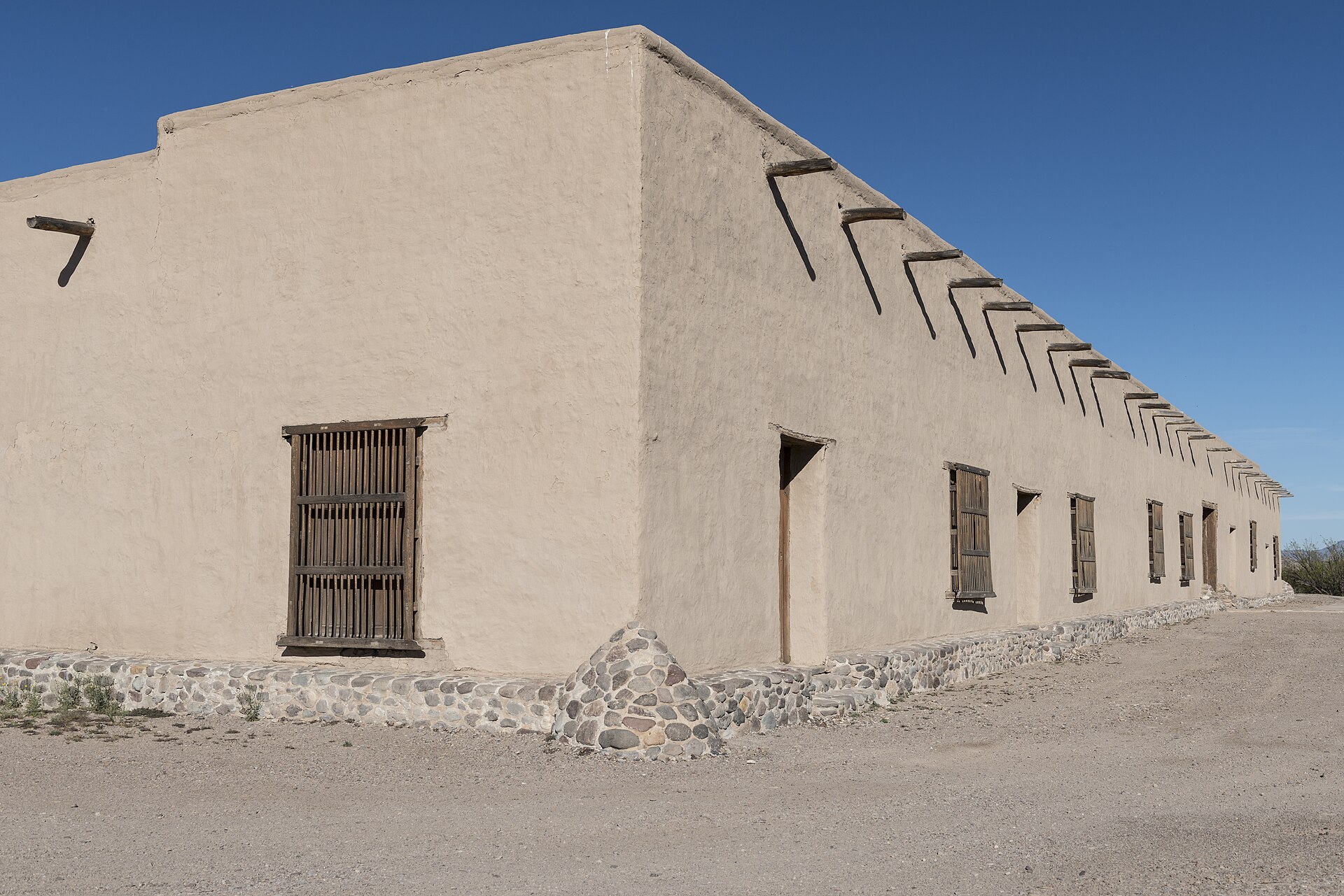
    Walk a fortified nineteenth-century adobe trading post east of Presidio, learn about the older La Junta settlements, and use the site as Big Bend Ranch State Park's western permit and information gateway.

    Best season: September through April is the busier season; cooler weather is generally safer for a self-guided desert history visit.Updated Nov 2026
    • Explore the surviving fortified adobe trading post built in 1848
    • Read about Juana Pedrasa, Ben Leaton and the La Junta trading corridor
    • Follow TPWD's self-guided historic-site walking tour
    Explore this place

    Approx. 65 miles away

Read next

More from Outdoors & Wildlife