Regional field guide
Understand Gulf Coast before you go
The Gulf Coast is a connected system of barrier islands, estuaries, working ports, fishing communities and marshes. Travel is shaped as much by bays, bridges and ferries as by straight-line mileage. Upper Coast, Coastal Bend and Lower Coast trips have different beaches, wildlife opportunities, weather risks and lodging patterns.
Choose a practical base
Galveston and the upper coast
Historic waterfronts, coastal ecology, beach access and barrier-island travel.
Rockport and Port Aransas
Coastal Bend birding, working harbors, islands and beach days.
South Padre Island and the lower coast
Lower Laguna Madre waters, birding habitats and a different beach and estuary setting.
Three coasts within one travel region
The upper coast around Galveston, the central Coastal Bend around Matagorda, Rockport and Corpus Christi, and the lower coast toward South Padre Island have distinct communities, beaches and estuaries. A statewide coastal guide should separate the open Gulf-facing barrier beaches from bayside marshes and industrial working waterfronts. The official shoreline length varies with measurement, so avoid casual claims of an exact fixed Texas coastline length.
Barrier islands, estuaries and the bird migration route
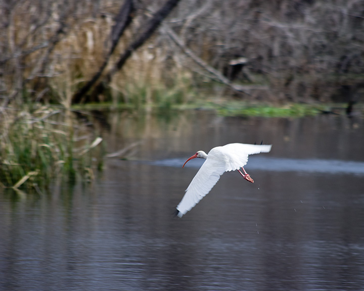
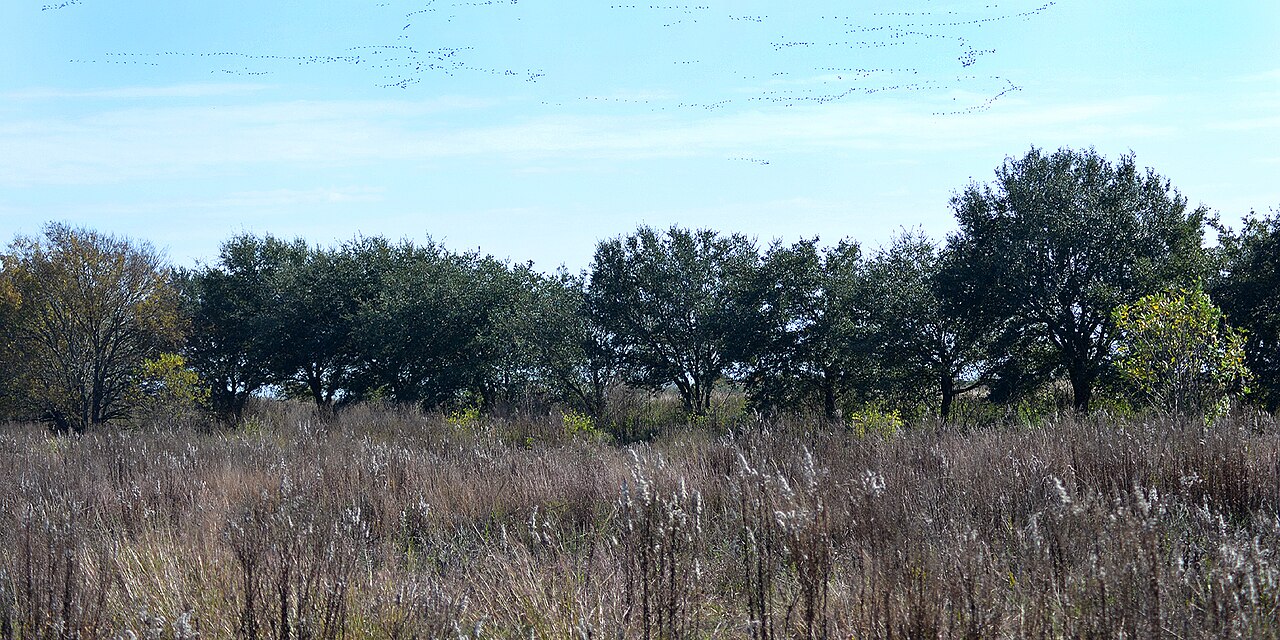
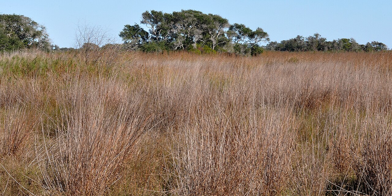
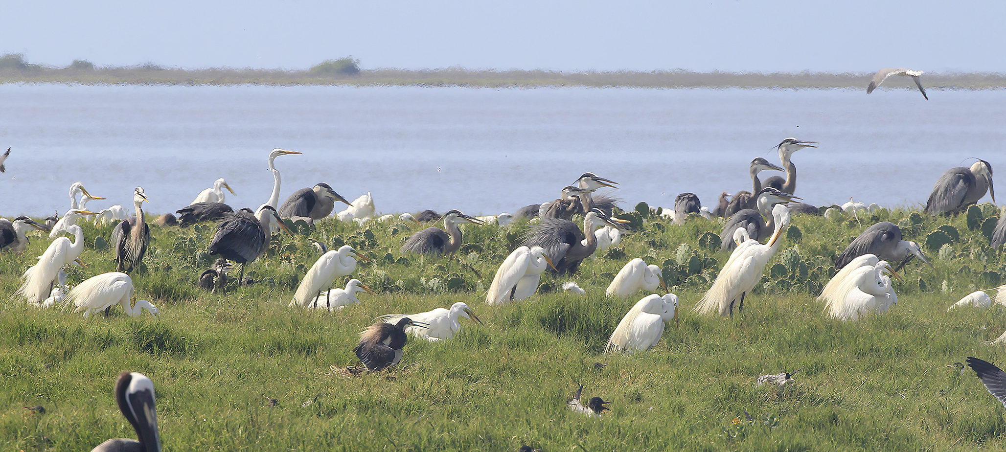
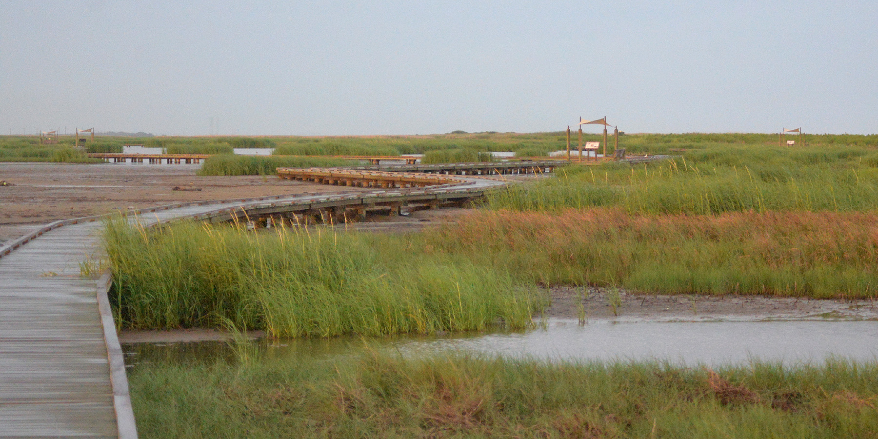
Barrier islands and bay systems buffer, shift and erode through natural and storm-driven processes. Coastal prairie, tidal flats and marshes support wildlife and migratory birds, and protected areas have seasonal rules intended to reduce disturbance. A traveler interested in birding may choose a refuge boardwalk or bayside overlook rather than a crowded surf beach. Respect posted dune barriers, seasonal closures and wildlife viewing distances.
Fishing, ferries and public access
A boat ramp, public beach entrance, state park and private fishing pier provide different legal access. Some coastal routes depend on ferries or bridges and may be affected by weather, maintenance or congestion. If fishing, verify Texas Parks & Wildlife license requirements, size and bag rules, and any special park or pier exemptions for your activity. Tide charts and weather forecasts should be checked close to departure.
Storm planning and practical choices
Tropical storms, rip currents, lightning, high surf and extreme heat are real itinerary factors, not decorative caution language. Hurricane season does not mean every day is hazardous, but visitors should review current National Weather Service and local emergency guidance. Families may value lifeguarded beaches and staffed public facilities, while nature photographers may prefer boardwalks and designated birding areas. Make lodging arrangements with clear storm-change policies.
Understand the landscapes behind this region
These scientific and geographic field guides add context to the travel region; landscape boundaries are not the same as tourism regions. Follow a topic that matters to your actual route rather than assuming every landscape covers the whole region.
Trace watersheds downstream toward deltas, estuaries and the coastal plain.
Place marshes, barrier islands and bays beside the state's mountain and inland scenery.
Season, access and safety
Hurricane season, tropical storms, coastal flooding, rip currents and ferry queues can alter access. Check the National Weather Service, local beach advisories and transportation operator notices before travel. Shorebird and turtle nesting habitat require extra care.
Build the next part of your trip
Primary references and methodology
TexasDefined uses approximate editorial travel regions rather than fixed legal boundaries. Suggested bases and travel approaches are editorial planning guidance, not live road, weather or access reports. Verify current conditions and permissions before departure.
Editorial review: October 12, 2026. Live conditions must be checked with the relevant authority.