Skip to content

Texas Crossroads · Swimming holes

Swimming Holes Near Victoria, Texas

Source-backed spring, river, pool and swimming destinations, with current access, flow, water-quality and reservation checks left to the destination guide and official source.

Source-backed options18

Distance windowUp to 150 straight-line miles

OrderingGeographic distance

Straight-line distances are screening estimates from central Victoria. They are not road miles or drive-time promises. Use the “Check current drive” links in the map and guide sections below for current Google Maps routing, road mileage and travel-time estimates.

Map & routes

Find it on the map and compare routes

Easy day-trip range

1 full TexasDefined guide in this geographic band

About 74 geographic miles

Mathis

Mathis · San Patricio County

Lake Corpus Christi State Park

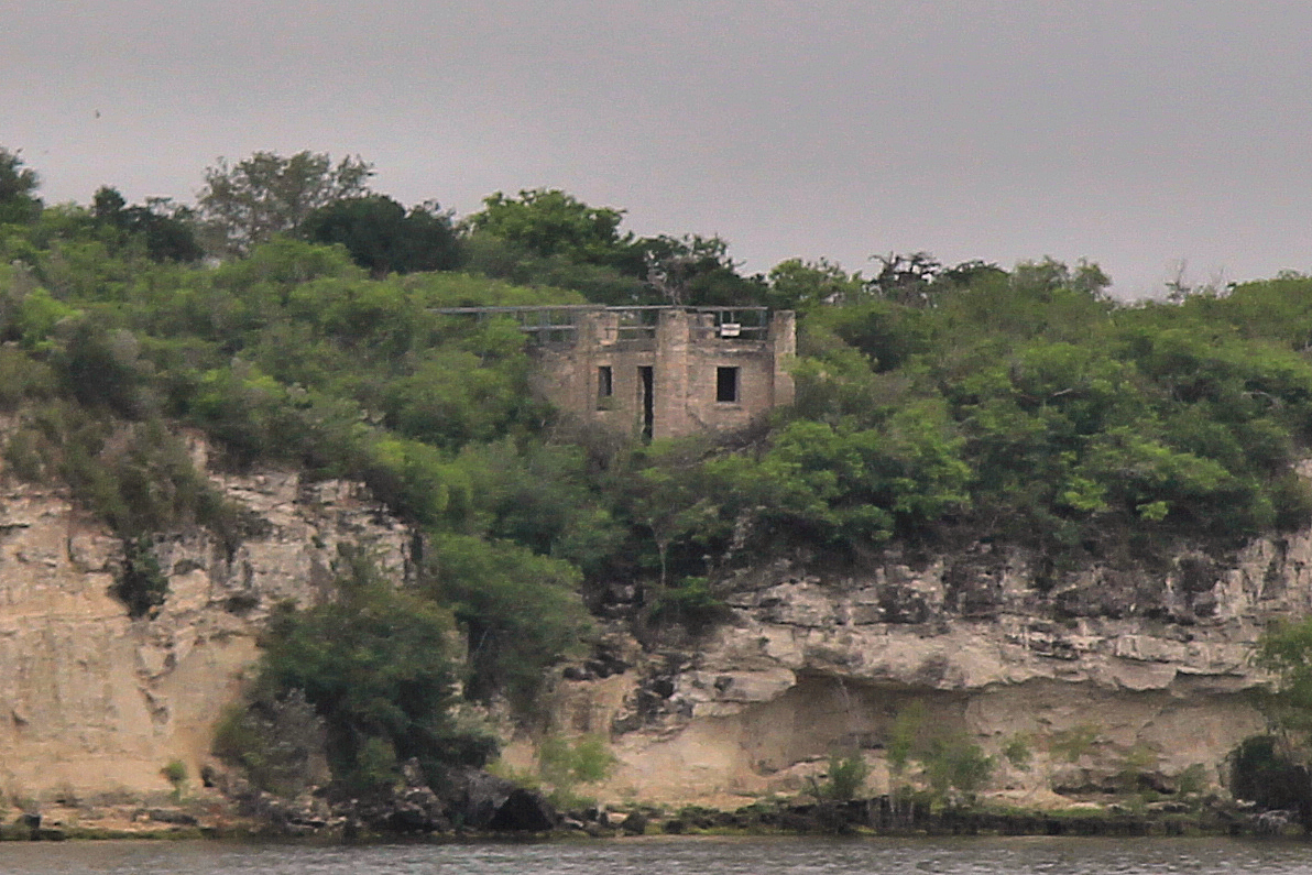
A South Texas reservoir park near Mathis with fishing, boating, swimming and a landmark CCC-built stone pavilion overlooking Lake Corpus Christi.

Best season: Fall through spring for camping and fishing; summer for water recreation with heat precautions
  • CCC-built stone pavilion
  • Lake Corpus Christi fishing
  • Boating and paddling
Explore this place
Check current drive from Victoria ↗

Longer day trip

17 full TexasDefined guides in this geographic band

About 85 geographic miles

Three Rivers

Three Rivers · McMullen County

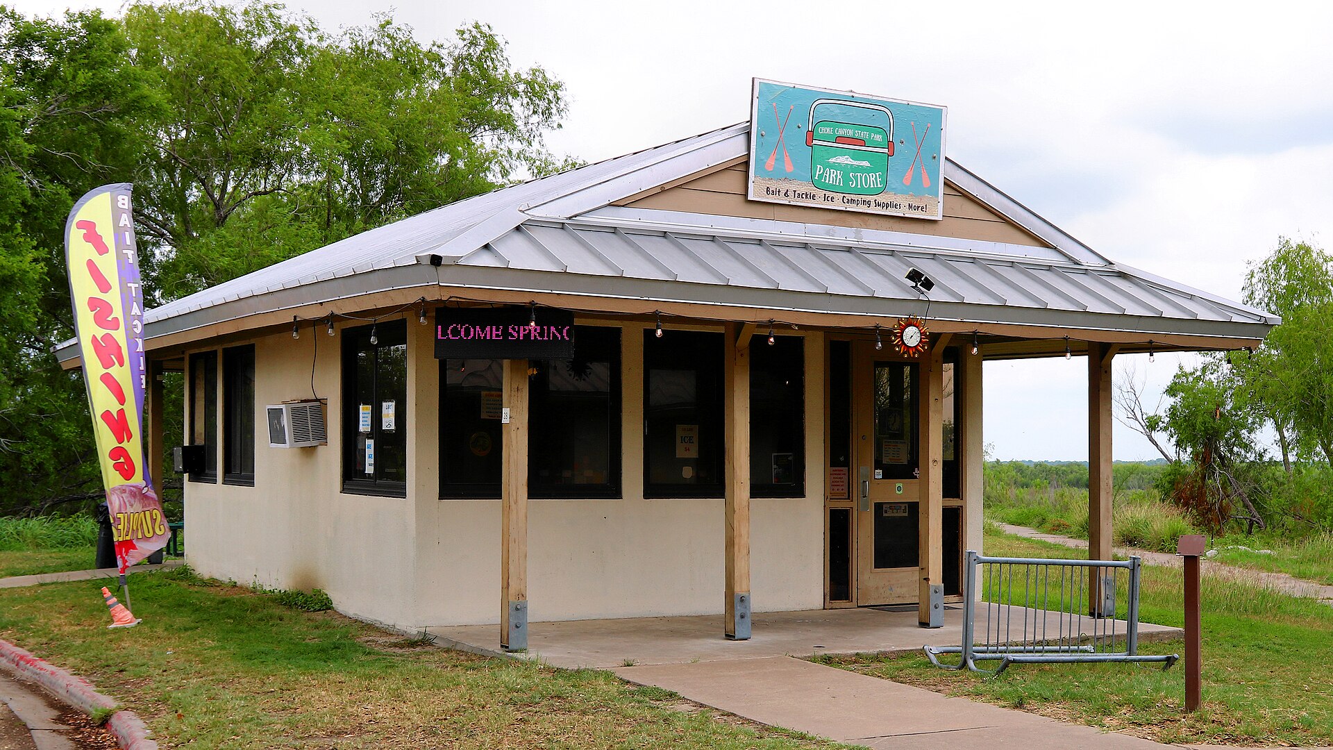
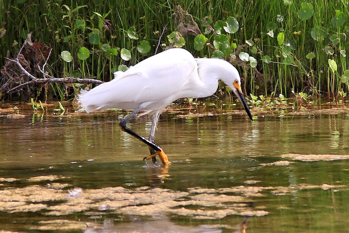
Choke Canyon State Park

A South Texas reservoir state park with two separate public units: full-service Calliham for camping and broader park facilities, and day-use South Shore for boating, fishing and birding.

Best season: Fall through spring for birding, camping and comfortable shore time; fishing remains popular year-roundUpdated Sep 2026
  • Calliham Unit camping, cabins and recreation
  • South Shore day-use fishing, boating and birding
  • Choke Canyon Reservoir fishing
Explore this place
Check current drive from Victoria ↗

About 87 geographic miles

Brazoria

Brazoria · Brazoria and Matagorda counties

San Bernard National Wildlife Refuge

San Bernard National Wildlife Refuge protects more than 70,000 acres from Gulf beaches and coastal marshes inland through prairie, wetlands and bottomland forests along the Brazos and San Bernard river systems.

Best season: Fall through spring for migratory birds and cooler hiking; spring migration is especially strong in forest tracts.Updated Sep 2026
  • Coastal marsh and prairie
  • Bottomland hardwood forests
  • More than 300 bird species
Explore this place
Check current drive from Victoria ↗

About 105 geographic miles

Austin

Austin · Travis County

McKinney Falls State Park

An Austin state park where Onion Creek drops over broad limestone ledges at Upper and Lower Falls, with swimming holes, trails, camping and reminders of Central Texas history only minutes from the city.

Best season: Spring and fall for hiking; swimming depends on current creek conditionsUpdated Oct 2026
  • Upper and Lower Falls on Onion Creek
  • Swimming and fishing when water conditions allow
  • Rock Shelter Trail and traces of early Central Texas settlement
Explore this place
Check current drive from Victoria ↗

About 105 geographic miles

Wimberley

Wimberley

Blue Hole, Wimberley

A spring-fed swimming area on Cypress Creek inside Wimberley's Blue Hole Regional Park, shaded by mature cypress trees and managed through a seasonal reservation system that protects the experience from uncontrolled crowding.

Best season: May through early September for reserved swimming; the surrounding regional park is open year-roundUpdated Aug 2026
  • Spring-fed Cypress Creek swimming beneath mature cypress trees
  • Reservation-controlled seasonal swim sessions
  • Shaded lawns and regional-park recreation outside the swim area
Explore this place
Check current drive from Victoria ↗

About 106 geographic miles

Somerville

Somerville · Burleson County

Lake Somerville State Park & Trailway

Compare Lake Somerville's Birch Creek and Nails Creek camping, swimming, boat launches, equestrian access and the 13-mile connecting Trailway, with unit-specific parking, maps and water services.

Best season: Spring and fall for camping, trailway riding, and birding; TPWD lists the first weekend of March through July 4 as the busiest season.Updated Oct 2026
  • Birch Creek Unit on north shore — 14222 Park Road 57, Somerville
  • Nails Creek Unit on southwest shore — 6280 FM 180, Ledbetter
  • 13.11-mile multiuse Trailway between the two units
Explore this place
Check current drive from Victoria ↗

About 109 geographic miles

Wimberley

Wimberley · Hays County

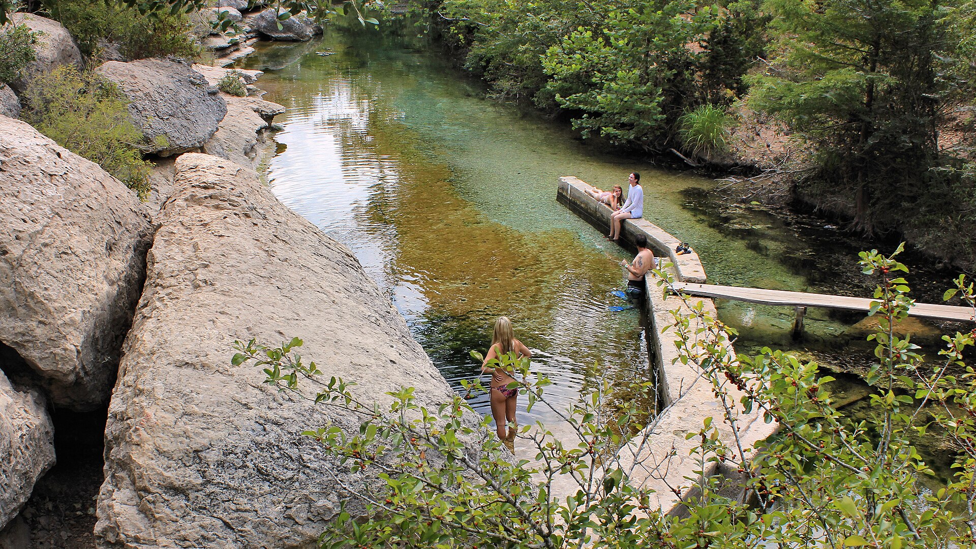
Jacob's Well Natural Area

A deep artesian spring and karst opening near Wimberley that forms the headwaters of Cypress Creek, protected within a Hays County natural area with trails and tightly managed water access.

Best season: Fall through spring for trails; the natural area remains a hiking destination while swimming is closedUpdated Sep 2026
  • Artesian spring opening
  • Cypress Creek headwaters
  • Hill Country karst geology
Explore this place
Check current drive from Victoria ↗

About 109 geographic miles

Austin

Austin · Travis County

Lady Bird Johnson Wildflower Center

The University of Texas at Austin's native-plant botanical garden in South Austin, where designed gardens, prairie restoration, an arboretum, family garden and nature trails show how Texas wildflowers and native landscapes can be beautiful, resilient and ecologically useful year-round.

Best season: Spring for wildflowers, fall for comfortable trails and native grasses, and year-round for designed native gardens; bloom timing always depends on weather rather than a fixed calendar dateUpdated Aug 2026
  • Texas native-plant gardens and ecological landscape design
  • Seasonal wildflower displays and bluebonnet areas
  • Texas Arboretum and walking trails
Explore this place
Check current drive from Victoria ↗

About 111 geographic miles

Austin

Austin · Travis County

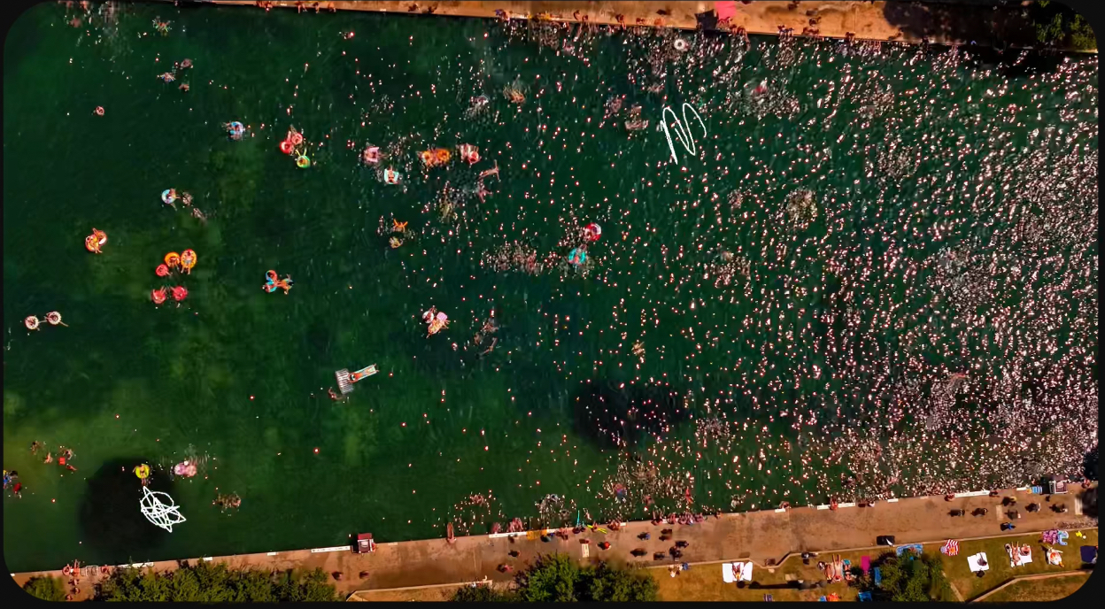
Barton Springs Pool

Austin's landmark spring-fed swimming pool in Zilker Park, supplied by the Edwards Aquifer and holding near 68–70 degrees year-round beneath limestone slopes and mature pecan trees.

Best season: Year-round, with summer the busiest season and cooler mornings quieter
  • Spring-fed year-round swimming
  • Zilker Park setting
  • Edwards Aquifer springs
Explore this place
Check current drive from Victoria ↗

About 111 geographic miles

Austin

Austin · Travis County

Barton Creek Greenbelt

Austin's limestone-lined urban wilderness, with more than 12 miles of shared-use trail, multiple trailheads, swimming holes when water is flowing, climbing areas and rugged Hill Country terrain inside the city.

Best season: Fall through spring for hiking and biking; swimming conditions depend on recent rainfall, so water may be low or absent during dry periods.Updated Sep 2026
  • More than 12 miles of trail
  • Limestone cliffs and rugged Hill Country terrain
  • Multiple swimming holes when Barton Creek is flowing
Explore this place
Check current drive from Victoria ↗

About 115 geographic miles

Spring Branch

Spring Branch · Comal County

Honey Creek State Natural Area

Honey Creek State Natural Area now offers reserved public hiking on oak-savanna trails, including an accessible route, while the spring-fed creek itself remains protected by guided-tour access.

Best season: Fall through spring for cooler walking temperatures, with early-day summer visits best for shade-limited grassland trails.Updated Oct 2026
  • New public-use trailhead off Park Road 31 opened August 2026
  • Accessible 0.7-mile Box Turtle Trail through oak savanna
  • Moderate 1.7-mile Roadrunner Trail and additional mapped paths
Explore this place
Check current drive from Victoria ↗

About 116 geographic miles

Spring Branch

Spring Branch · Comal County

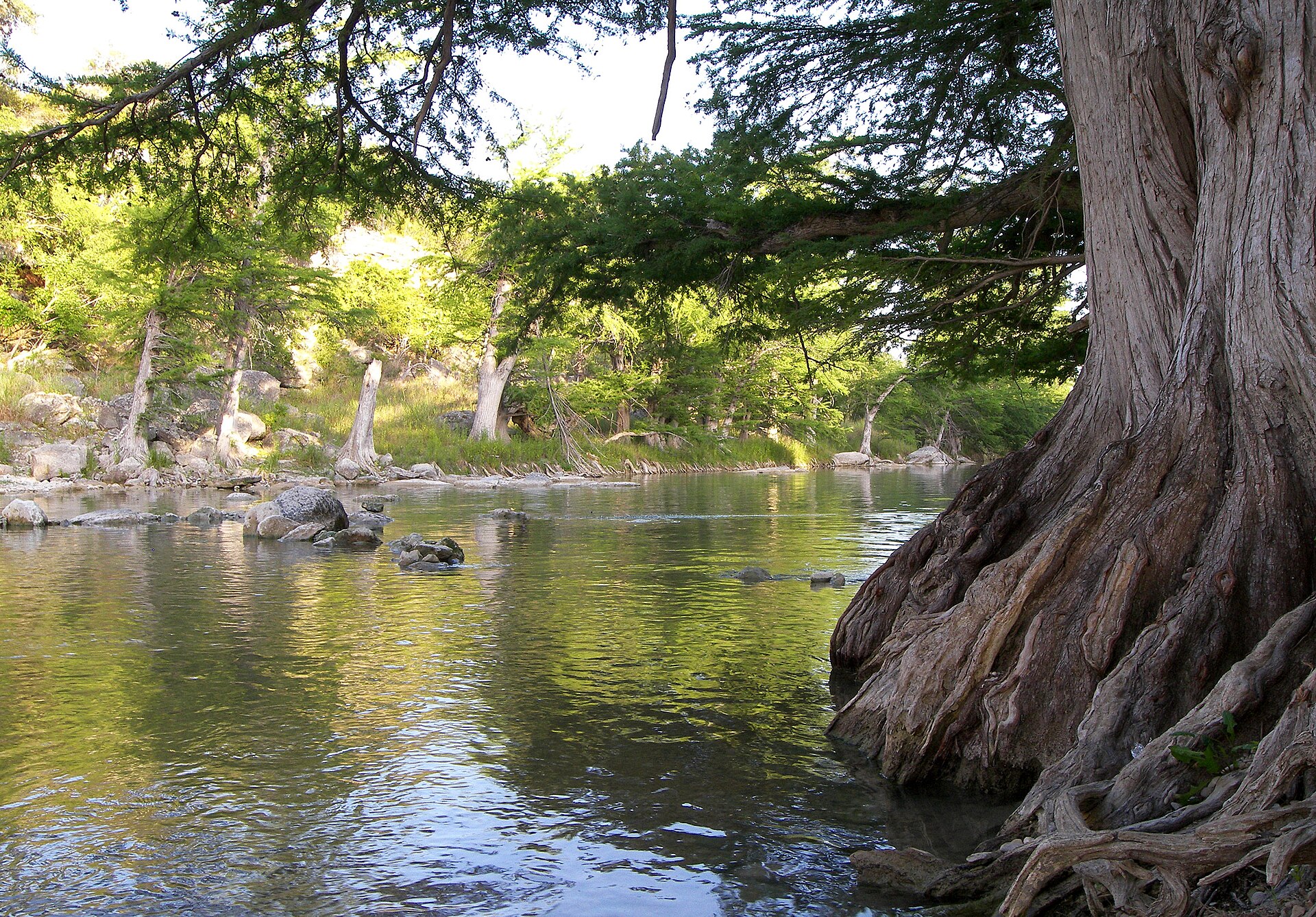
Guadalupe River State Park

Four miles of Guadalupe River frontage between San Antonio and the Hill Country, pairing cypress-lined swimming and paddling water with trails, camping and access to the protected Honey Creek landscape.

Best season: Late spring through early fall for river time; fall through spring for comfortable hikingUpdated Oct 2026
  • Four miles of Guadalupe River frontage
  • Swimming, tubing, paddling and fishing when river conditions allow
  • Hill Country trails through prairie, oak woodland and river corridor
Explore this place
Check current drive from Victoria ↗

About 123 geographic miles

Blanco

Blanco · Blanco County

Blanco State Park

A small Hill Country park wrapped around a mile of the Blanco River, with limestone dams, swimming, fishing, paddling and shaded picnic areas within walking distance of downtown Blanco.

Best season: Late spring through early fall for river time; fall and spring for picnics and fishing
  • Blanco River swimming and wading
  • Historic limestone river dams
  • Fishing and paddling
Explore this place
Check current drive from Victoria ↗

About 126 geographic miles

Dripping Springs

Dripping Springs · Travis County

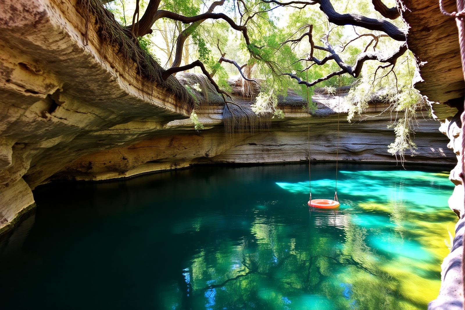
Hamilton Pool Preserve

A protected Hill Country canyon and collapsed limestone grotto west of Austin, where Hamilton Creek drops into a jade-green pool beneath a broad rock overhang, reached by a rugged trail and managed through required reservations to protect sensitive habitat.

Best season: Spring and fall for comfortable hiking; summer reservations are popular but swimming is never guaranteed because water quality and safety conditions can changeUpdated Aug 2026
  • Collapsed limestone grotto and overhanging rock shelter
  • Hamilton Creek waterfall and natural pool
  • Protected Balcones Canyonlands Preserve habitat
Explore this place
Check current drive from Victoria ↗

About 128 geographic miles

Johnson City

Johnson City · Blanco County

Pedernales Falls State Park

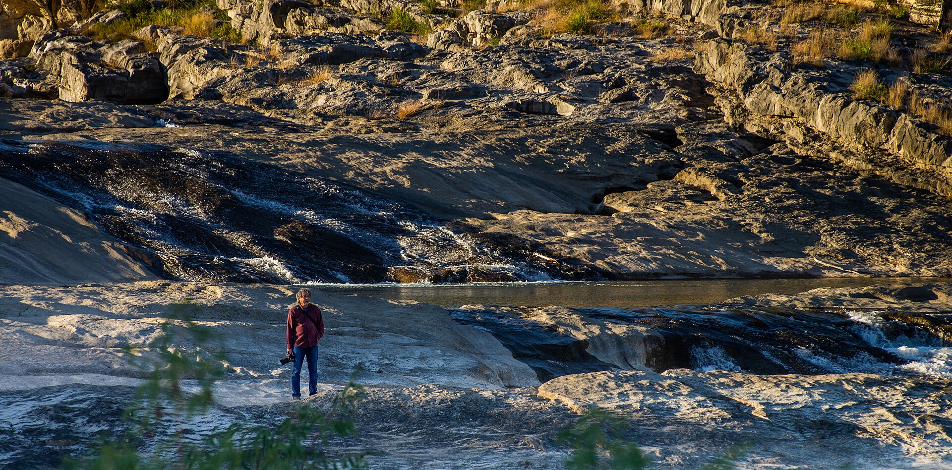
Thirty miles west of Austin, the Pedernales River pours across broad shelves of Hill Country limestone, creating a dramatic falls area plus separate places for swimming, hiking, camping and river access.

Best season: Fall through spring for hiking; warm months are popular for swimming in designated river areasUpdated Oct 2026
  • Pedernales Falls overlook and limestone river terraces
  • Designated swimming and tubing access away from the falls area
  • Hill Country hiking and biking trails including Twin Falls Nature Trail
Explore this place
Check current drive from Victoria ↗

About 130 geographic miles

Kemah

Kemah · Galveston County

Kemah Boardwalk

Kemah Boardwalk is a Galveston Bay amusement-and-dining district with rides, games, restaurants, seasonal entertainment and waterfront views about 30 miles southeast of central Houston.

Best season: Fall through spring for milder waterfront weather; summer brings more heat, humidity and crowds.Updated Sep 2026
  • Boardwalk Bullet wooden coaster
  • Galveston Bay waterfront
  • Family rides and midway games
Explore this place
Check current drive from Victoria ↗

About 135 geographic miles

Spicewood

Spicewood · Burnet County

Krause Springs

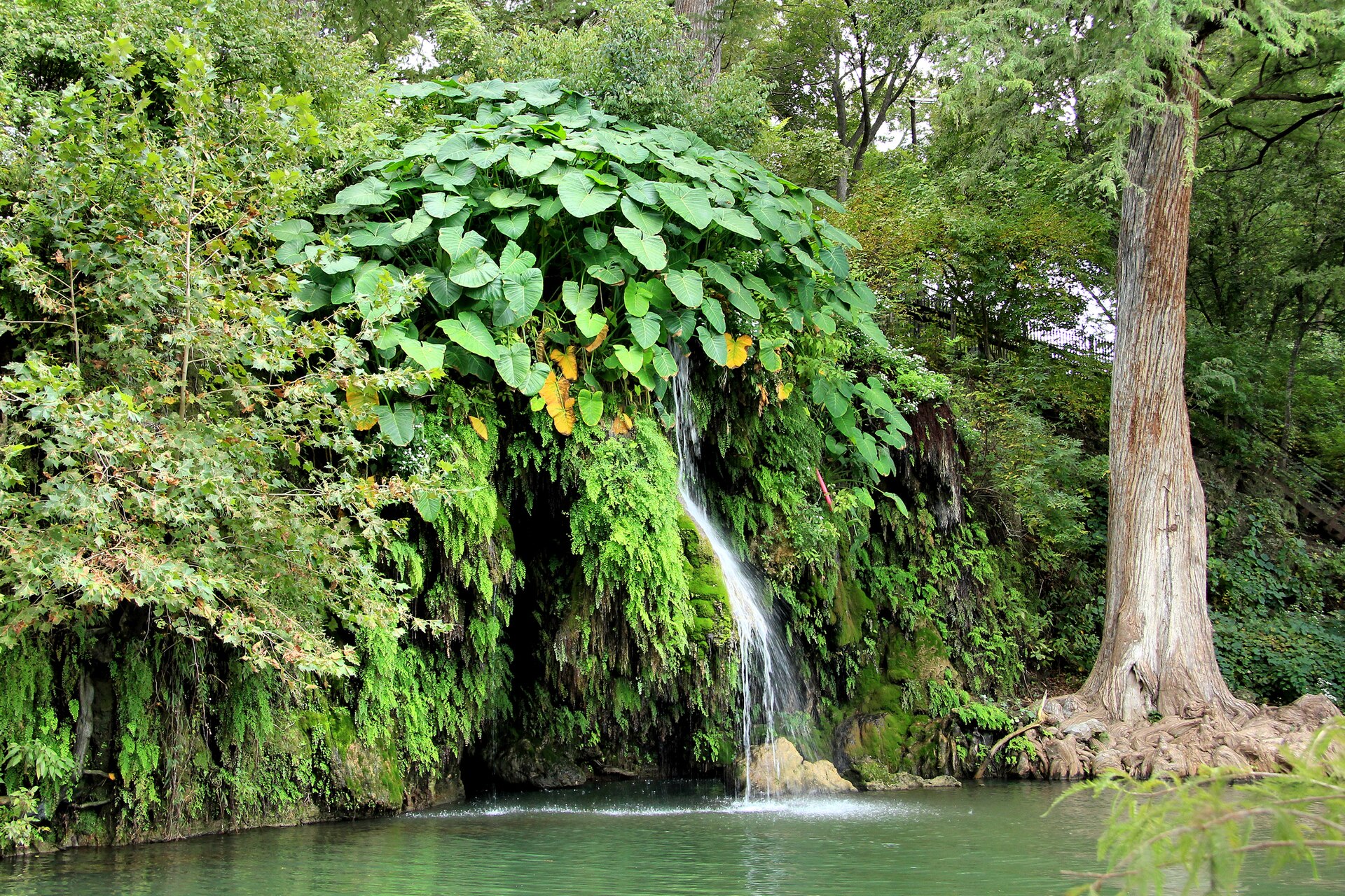
A privately operated Hill Country swimming destination near Spicewood with spring-fed pools, a small waterfall, cypress trees, gardens and camping on a family-owned property.

Best season: Late spring through early fall for swimmingUpdated Oct 2026
  • Spring-fed swimming pool
  • Natural swimming hole and waterfall
  • Cypress-shaded grounds
Explore this place
Check current drive from Victoria ↗

About 143 geographic miles

Bandera

Bandera · Bandera County

Hill Country State Natural Area

A rugged backcountry natural area southwest of Bandera with 40 miles of hiking and equestrian routes, primitive creekside and remote camping, and hillside overlooks that require careful trail-and-water planning.

Best season: Spring and fall are typically most comfortable for walking, riding and primitive camping; the open Hill Country landscape can be exposed to summer heat.Updated Oct 2026
  • 40 miles of multiuse trails on rugged former ranchland
  • West Verde Creek and Comanche Bluff walk-in campsites with nearby toilets
  • Butterfly Springs, Hermit's Shack and Wilderness hike-in camps without water
Explore this place
Check current drive from Victoria ↗

Before you go

Use geography as a shortlist, then check the real route.

TexasDefined uses location data to make the statewide catalog easier to search. Open the current driving route for the places you are considering, then verify opening hours, reservations, park alerts, water conditions and weather with the current official source.