texas history
El Camino Real de los Tejas in Texas: Historic Trail, Sites and Visiting Guide
Understand the Caddo roads beneath the Spanish royal road, mission history and modern public visitor stops without mistaking the Texas-Louisiana corridor for one hiking trail.
A network of old roads, not a modern continuous path
El Camino Real de los Tejas was a corridor of routes across what is now Texas and northwestern Louisiana, used through a long period of Indigenous travel, Spanish colonization and subsequent Mexican and Texan history. Its name comes from the Tejas name associated with Caddo peoples, whose existing paths and trade networks predated European attempts to impose a royal road across the region.
National Park Service material describes a complex set of traveled alignments rather than a single modern hiking trail. Old segments, crossings, missions and settlements are separated by today's farms, towns, highways and private land. The designation offers an interpretation framework: it does not turn every historical roadbed into a public trail.
Caddo history belongs at the center
A visitor should not begin this history with the arrival of Spanish missionaries. Caddo communities had established social, trade and travel relationships across the eastern part of the region long before 1690. Indigenous diplomacy and decisions repeatedly shaped whether Spanish missions and presidios survived. NPS accounts explain how Caddo leaders rejected attempted domination and why French commercial networks affected Spain's plans.
That history challenges the familiar picture of a one-way march across empty territory. Better exhibits and historic places address Indigenous agency, disease, missionary coercion, political change and enduring Caddo communities rather than simply celebrating a 'discovered' road.
Mission periods and changing seats of Spanish Texas
Spanish expeditions reached the Neches River in 1690 and established missions that did not last. A new eastward effort began in 1716, motivated in part by French presence and trade. The mission and presidio network connected East Texas, the San Antonio region and the Rio Grande. Los Adaes, now in Louisiana, was the capital of Spanish Texas for part of the eighteenth century before government shifted toward San Antonio.
The relationships between early East Texas mission sites and later San Antonio missions can be explained on a regional trip, but a preserved building's present location does not necessarily mark the precise route of a particular seventeenth-century expedition. Use the NPS certified-sites map for exact public interpretation points.
Choosing actual Texas visitor stops
NPS provides an interactive Texas places-to-go map rather than a single gate. Use it to choose an interpretive center, public historical site or approved visible road segment for the day, then contact the site's own managing body about entry hours, mobility access and fees. Nacogdoches and the East Texas mission corridor offer useful historical context; San Antonio's mission district offers a separate lens into the later colonial landscape.
For place-based discovery, build an East Texas history weekend around a named NPS-mapped location and nearby town lodging. Alternatively visit the San Antonio Missions National Historical Park on its own current NPS schedule and use interpretive sources to distinguish that federal park from the far larger historic road. Never promise a direct, fully public trail walk between towns.
Protect fragile and private places
The rural landscape contains historical remnants on land where the public has no general permission to enter. Respect private property and tribal or community concerns. Do not publish precise coordinates of sensitive archaeological sites merely to produce a map pin. Never remove pottery, metal, stone or other cultural material.
Visitors who need step-free access should check the specific museum or interpretive site, not the trail's designation page. Weather, river flooding and Texas summer heat can affect any open-air stop; no statewide trail website can certify conditions at every property.
How to make a sensible itinerary
Begin with the National Park Service Texas sites map, choose a confirmed open public stop, read the property's own interpretation and spend the rest of the day in the associated historic town. If your second stop is hours away, split it over another day. The historic corridor's value is in connecting stories across regions, not in claiming visitors can trace every mile underfoot.
For schools and families, compare NPS descriptions of early missions with Caddo-centered scholarship and nearby museum exhibits. Record clearly which place you actually visited; roadside commemorative signs and reconstructed structures are not automatically original road segments.
Image credit: U.S. Department of the Interior · CC BY-SA 2.0 · Wikimedia Commons — interpretive regional context
Primary source: National Park Service ↗
Sources and further reading
Plan Your Visit
Places connected to this story
Destinations explicitly tied to this article in the Texas Defined guide.
San Antonio · Bexar County
San Antonio Missions National Historical Park
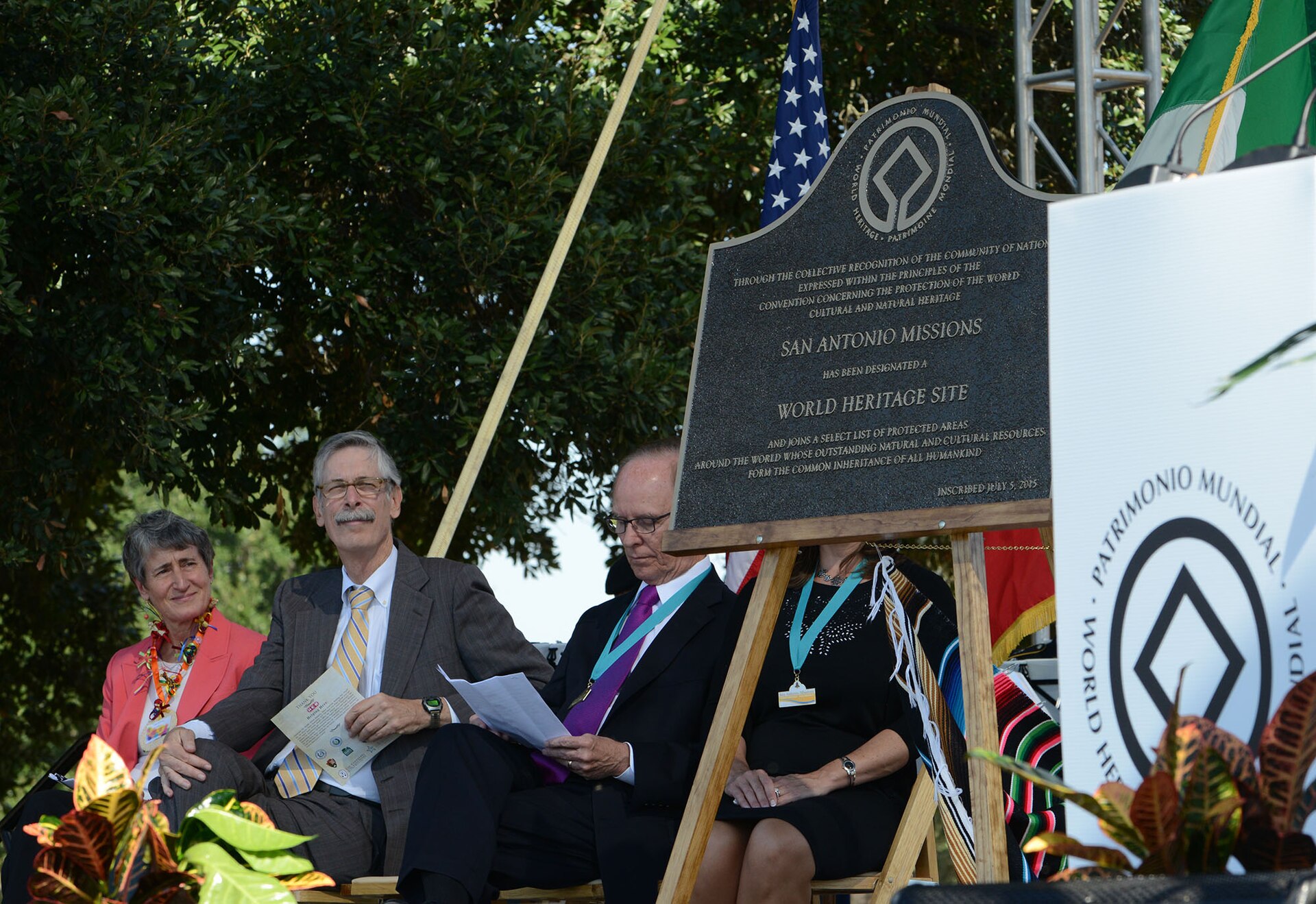
Visit the four National Park Service Spanish colonial mission sites along San Antonio's Mission Reach, understanding active parish access and the separate status of the Alamo within the five-mission UNESCO World Heritage area.
Best season: Fall through spring for comfortable walking and biking; summer visits are best early in the day with shade and water built into the routeUpdated Oct 2026- Four NPS missions: Concepción, San José, San Juan and Espada
- Active Catholic parishes with services that affect church access
- Mission Reach trail linking river corridors and mission sites
Grapeland · Houston County
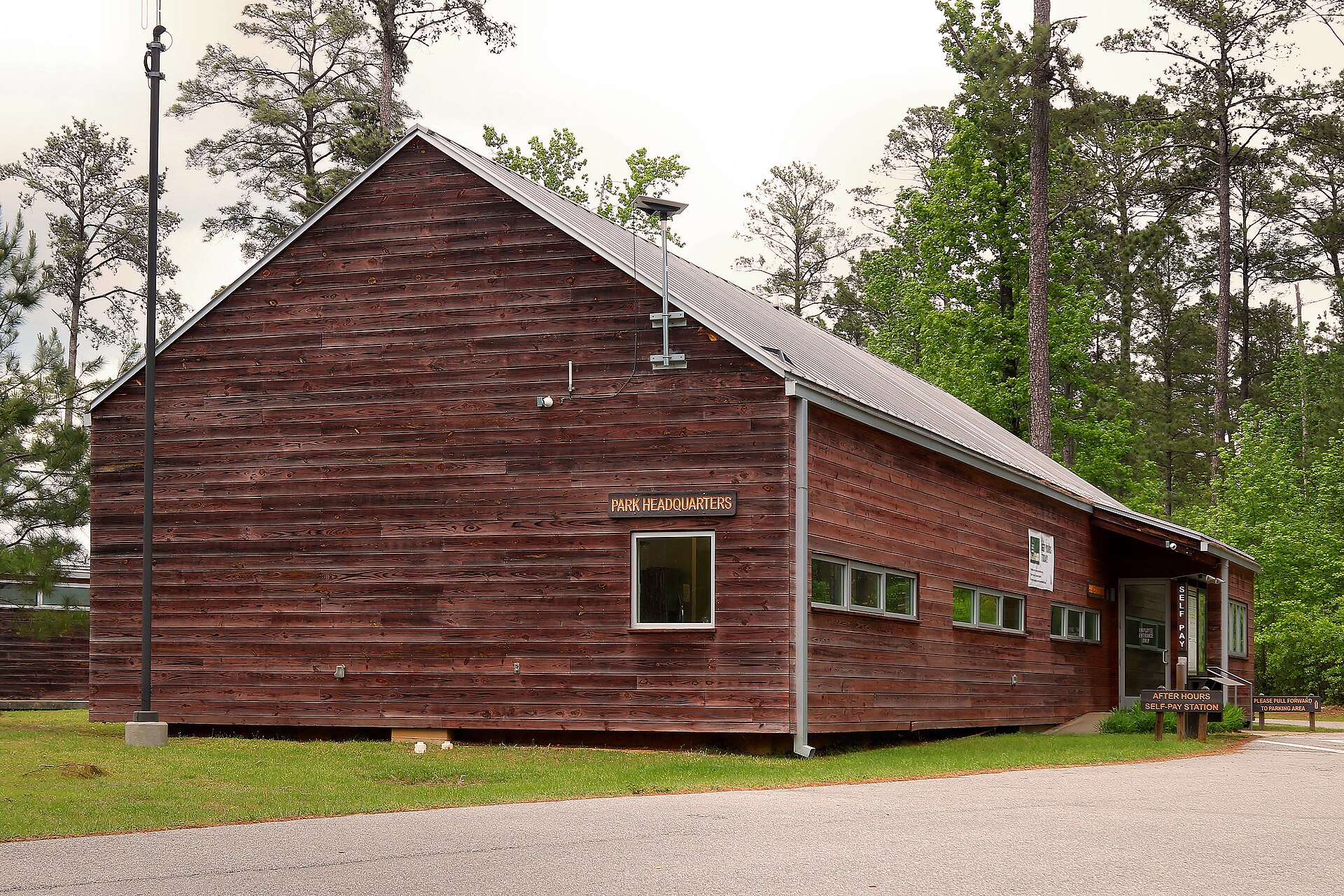
Mission Tejas State Park
A quiet East Texas history-and-nature park preserving a 1930s reconstruction of Mission San Francisco de los Tejas, the Rice Family Log Home and pineywoods trails along El Camino Real.
Best season: Fall through spring for comfortable hiking and historical exploration- Mission San Francisco de los Tejas reconstruction
- Rice Family Log Home
- El Camino Real history

From the magazine
More stories to read next
Then & Now
Butterfield Overland National Historic Trail in Texas: Where to Visit and What Survives
October 17, 2026 · About 3 minutes