
Quitaque · Briscoe County · Panhandle Plains
Caprock Canyons State Park & Trailway
Red-rock canyons, rugged trails, Lake Theo, camping, and close-up views of the official Texas State Bison Herd.
- Hiking
- Biking
- Camping
Panhandle Plains · RV Parks & Campgrounds
Caprock Canyons State Park & Trailway has 35 electric RV campsites in the Honey Flat area—10 with 50-amp service and 25 with 30-amp service—inside one of the Texas Panhandle's most dramatic canyon landscapes.
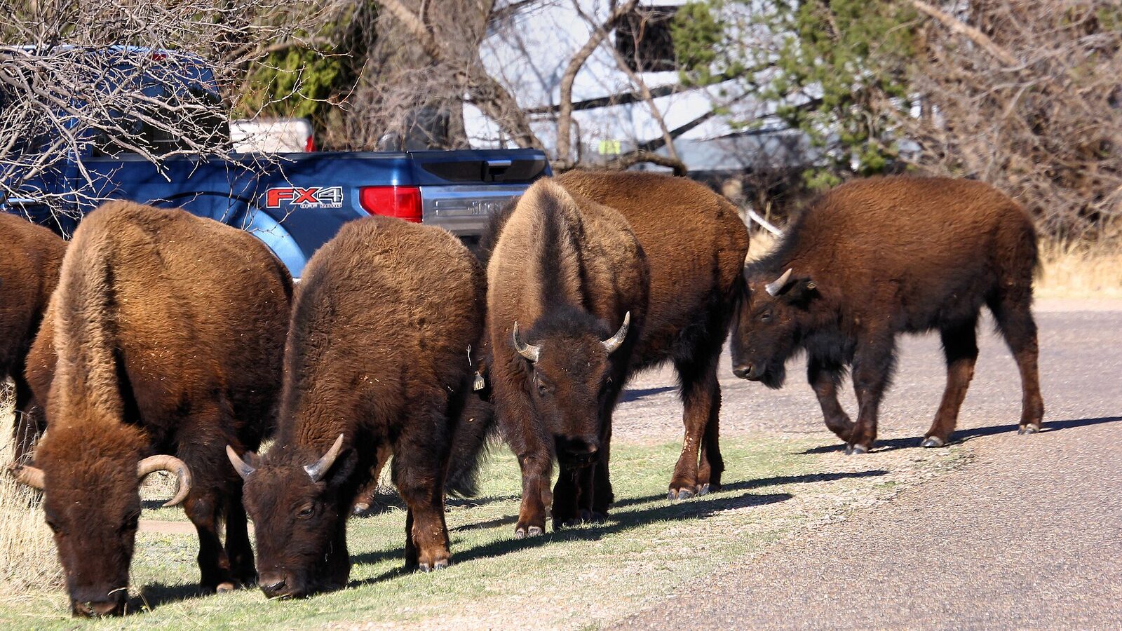
Photography: Larry D. Moore · CC BY 4.0 · Wikimedia Commons · https://commons.wikimedia.org/wiki/File:Bison%20in%20Campground%20Caprock%20Canyons%20State%20Park%20Texas.jpg
Quick trip facts
The experience
Caprock Canyons State Park & Trailway gives RV travelers a developed campground inside a landscape better known for red-rock canyons and the Texas State Bison Herd. TPWD lists 10 Honey Flat campsites with 50-amp electricity and 25 more with 30-amp electricity. Both classes include water hookups, shade shelters and restrooms nearby, making Honey Flat the clear target for RV travelers who need conventional hookups.
The park's conditions deserve more planning than a typical roadside campground. TPWD warns that summer air temperatures can climb above 110 degrees, and bison roam the park. Lake Theo, extensive canyon trails and the separate Caprock Canyons Trailway broaden the trip, but heat, storms and trail conditions can materially change what is practical during a stay.
TPWD lists spring, summer and fall as busy seasons and says the park often reaches capacity, with reservations highly recommended for camping and day use. Before towing to Quitaque, confirm the exact electrical class, current park alerts and reservation. Texas Defined uses a licensed exact-location Caprock Canyons image and relies on TPWD for current operating and campsite details.
The details
Plan the route
Editorially paired stops near Caprock Canyons State Park RV Loop appear first, followed by nearby destinations. Distances are approximate straight-line miles.
Quitaque · Briscoe County · Panhandle Plains
Red-rock canyons, rugged trails, Lake Theo, camping, and close-up views of the official Texas State Bison Herd.
Approx. 1 mile away
Matador · Motley County · Panhandle Plains
Motley County Historical Museum in Matador occupies the former Traweek Hospital and interprets county history through ranching, Native American heritage, veterans, schools, saddle making, medical history and a detailed diorama of early Matador.
Approx. 30 miles away
Floydada · Floyd County · Panhandle Plains
Floyd County Historical Museum in downtown Floydada preserves county and Llano Estacado history, including pioneer collections, genealogy resources and artifacts tied to archaeological evidence of Francisco Vázquez de Coronado's 1541 expedition through nearby Blanco Canyon.
Approx. 33 miles away
Clarendon · Donley County
The 525-acre Playa Lakes WMA Taylor Lakes Unit near Clarendon protects restored grassland, pasture and wetland habitat used by wintering waterfowl, shorebirds and other Rolling Plains wildlife.
Approx. 34 miles away
Memphis · Hall County · Panhandle Plains
Heritage Hall Museum in Memphis preserves Hall County and eastern Panhandle history through community collections, local artifacts and the stories of the people who built the county's ranching, farming and town life.
Approx. 37 miles away
Clarendon · Donley County · Panhandle Plains
Saints' Roost Museum in Clarendon occupies the 1910 Adair Hospital and interprets Donley County and Texas Panhandle pioneer history, including the JA Ranch, Charles and Cornelia Adair, the Red River War, military history and community life.
Approx. 37 miles away
Texas Explained
Go beyond the destination with the systems, landscapes and history that explain why this part of Texas looks and works the way it does.
Continue exploring