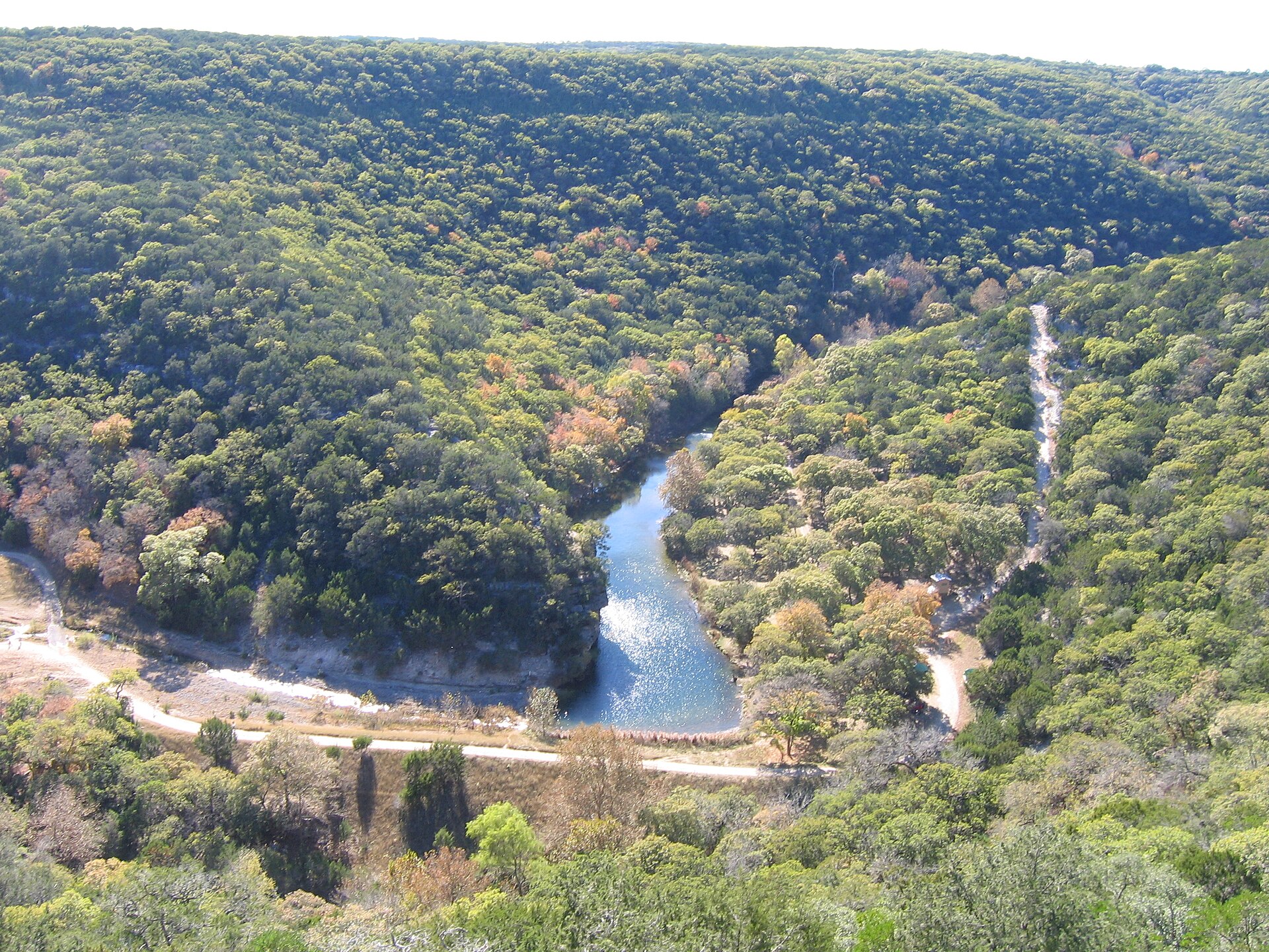
Lost Maples State Natural Area is best understood as a protected limestone-canyon ecosystem along the Sabinal River, where rare stands of Uvalde bigtooth maple draw fall visitors. The color spectacle depends on weather rather than a fixed annual date. A mid-October photo from a previous year is not evidence that the leaves are currently red, and a thoughtful guide should use TPWD's current weekly foliage report instead of declaring 'peak fall color' without checking.
The official October 14, 2026 report says sycamores have begun to yellow, but bigtooth maples remain green. TPWD intends to post roughly weekly through November. The busiest October and November weekends fill the limited parking supply and the natural area can close to additional day visitors. Buy a valid day pass in advance, especially around Thanksgiving, and make sure a guided-program registration is separate from admission.
Visitors can explore more than ten miles of designated trails, but steep climbs, rock ledges and fragile shallow-rooted maples demand care. Do not hike off trail or scramble on protected rock faces. The area has little to no reliable cell service; download the official trail map before reaching FM 187, carry drinking water and use the recorded foliage report or official site to decide whether a particular autumn photography trip is worthwhile.
Camping ranges from 30 developed water-and-electric sites to separate hike-in primitive sites reached over rugged terrain. Primitive sites have no potable water and prohibit campfires, although containerized cooking stoves may be allowed under their specific rules; check active alerts before packing fuel. Visitors who prefer limited walking can see some landscape from the entrance road, but the longer canyon overlooks involve steep routes and cannot be promoted as universally wheelchair accessible.