
Skip to content

Texas Panhandle · Lakes & rivers

Lakes and Rivers Near Amarillo, Texas

Lakes, rivers and major spring destinations with source-backed visitor pages and practical trip-planning context.

Source-backed options1

Distance windowUp to 130 straight-line miles

OrderingGeographic distance

Straight-line distances are screening estimates from central Amarillo. They are not road miles or drive-time promises. Use the “Check current drive” links in the map and guide sections below for current Google Maps routing, road mileage and travel-time estimates.

This page is available for navigation but remains excluded from search indexing until its source-backed inventory reaches the minimum inventory and geographic-diversity thresholds for this intent.

Map & routes

Find it on the map and compare routes

Close to the metro

1 full TexasDefined guide in this geographic band

About 29 geographic miles

Fritch

Fritch · Hutchinson County

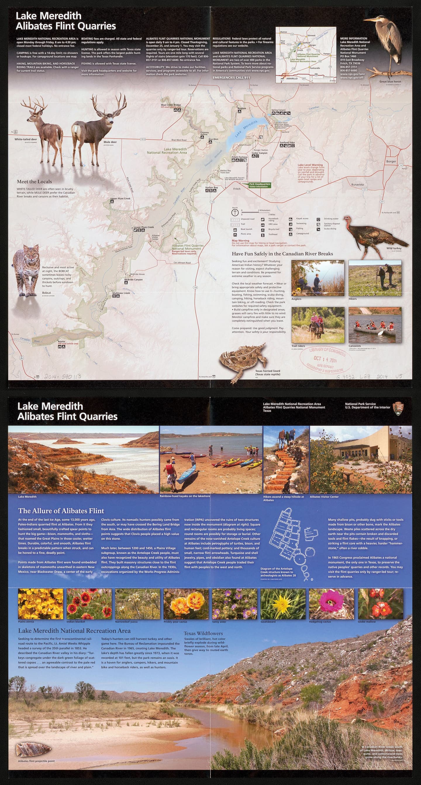
Lake Meredith National Recreation Area

Camp, boat and explore High Plains canyon country at Lake Meredith, with NPS first-come camping, a small reservable full-hookup section at Sanford-Yake and no assumed all-lake launch availability.

Best season: Year-round; spring and fall are especially comfortable for hiking while summer favors water recreationUpdated Oct 2026
  • Canyon landscape and Lake Meredith shoreline access
  • Mostly free, first-come NPS camping areas
  • Ten specifically reservable Sanford-Yake electric/water RV sites
Explore this place
Check current drive from Amarillo ↗

Before you go

Use geography as a shortlist, then check the real route.

TexasDefined uses location data to make the statewide catalog easier to search. Open the current driving route for the places you are considering, then verify opening hours, reservations, park alerts, water conditions and weather with the current official source.