Skip to content

Texas Panhandle · Swimming holes

Swimming Holes Near Amarillo, Texas

Source-backed spring, river, pool and swimming destinations, with current access, flow, water-quality and reservation checks left to the destination guide and official source.

Source-backed options3

Distance windowUp to 150 straight-line miles

OrderingGeographic distance

Straight-line distances are screening estimates from central Amarillo. They are not road miles or drive-time promises. Use the “Check current drive” links in the map and guide sections below for current Google Maps routing, road mileage and travel-time estimates.

This page is available for navigation but remains excluded from search indexing until its source-backed inventory reaches the minimum inventory and geographic-diversity thresholds for this intent.

Map & routes

Find it on the map and compare routes

Close to the metro

1 full TexasDefined guide in this geographic band

About 27 geographic miles

Umbarger

Umbarger · Randall County

Buffalo Lake National Wildlife Refuge

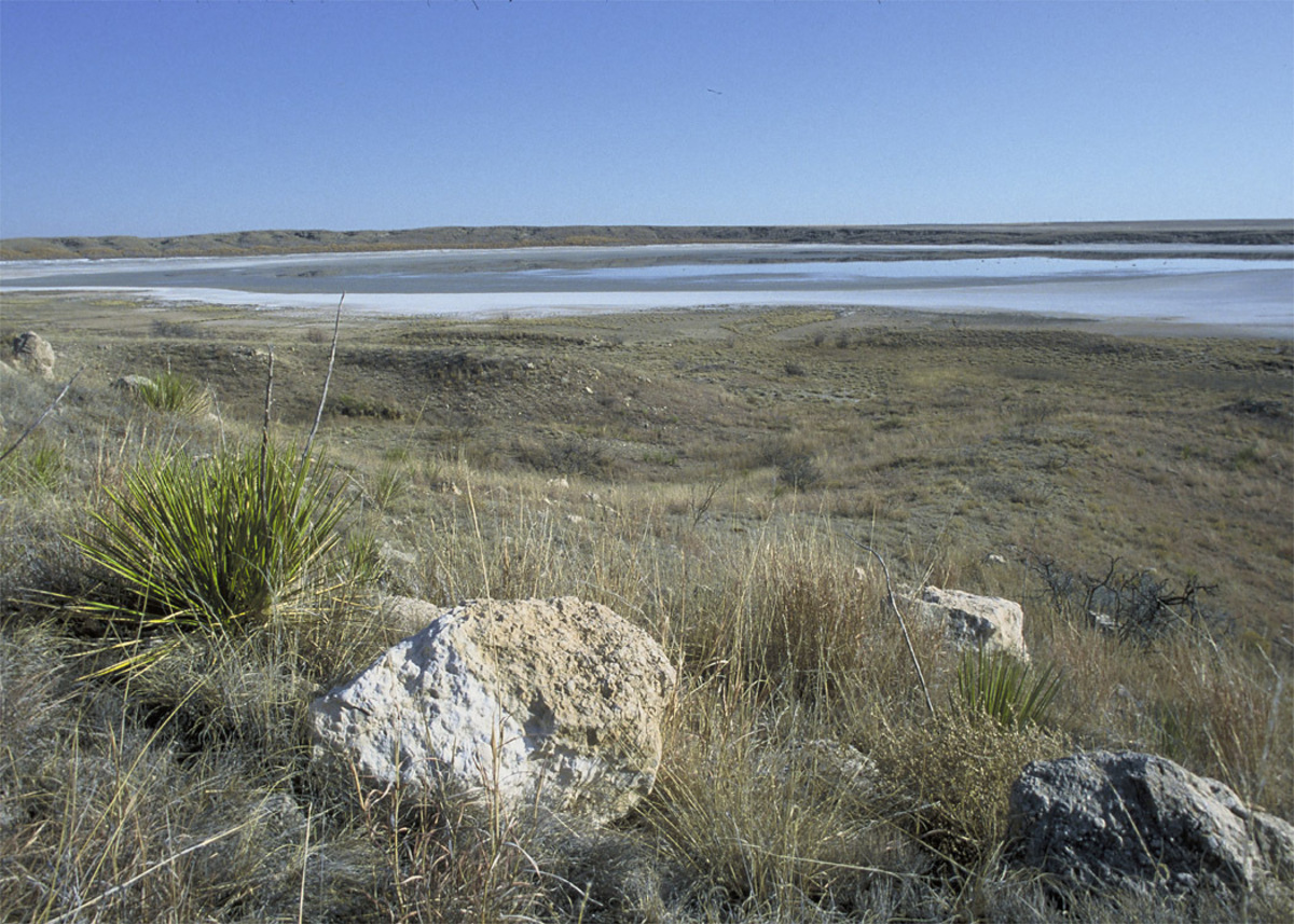
Buffalo Lake National Wildlife Refuge south of Umbarger protects more than 7,600 acres of High Plains grassland and playa-country habitat where a former reservoir is now largely dry but wildlife viewing remains the central attraction.

Best season: Spring and fall for migration and moderate temperatures; winter can bring raptors and open-country birds.Updated Sep 2026
  • High Plains grasslands
  • Prairie dogs and grassland birds
  • Auto-tour road
Explore this place
Check current drive from Amarillo ↗

Easy day-trip range

1 full TexasDefined guide in this geographic band

About 71 geographic miles

Quitaque

Quitaque · Briscoe County

Caprock Canyons State Park & Trailway

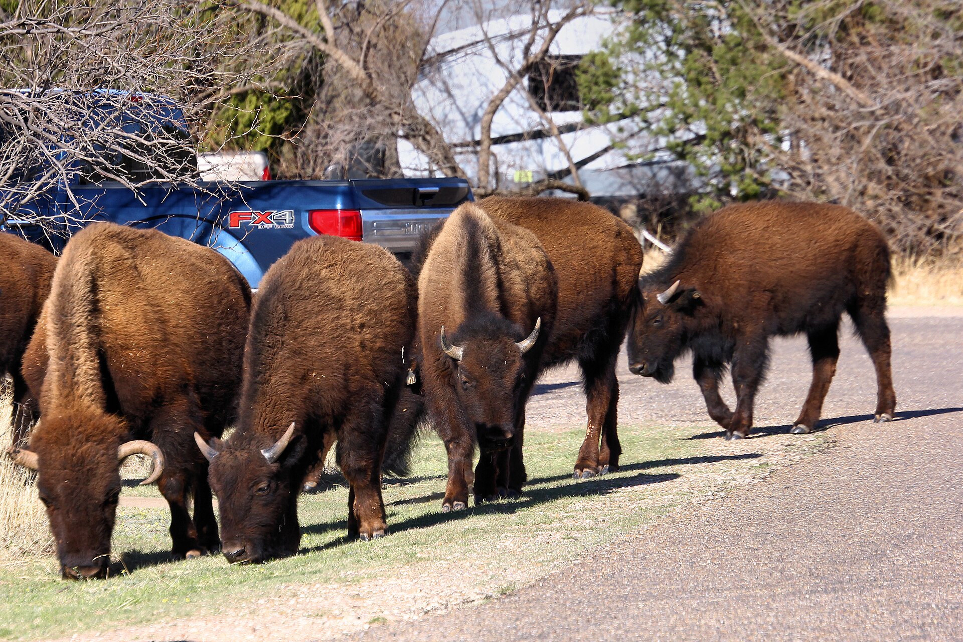
Red-rock canyon country beneath the Caprock Escarpment, home to the official Texas State Bison Herd, Lake Theo and a trail network that connects with a long converted-rail Trailway across the Panhandle.

Best season: Spring and fall for hiking and biking; summer heat can be severeUpdated Oct 2026
  • Free-ranging Texas State Bison Herd; stay at least 50 yards away
  • Redrock canyon hikes and the separate Caprock Trailway
  • Lake Theo swimming and water recreation subject to level and access
Explore this place
Check current drive from Amarillo ↗

Longer day trip

1 full TexasDefined guide in this geographic band

About 103 geographic miles

Muleshoe

Muleshoe · Bailey County

Muleshoe National Wildlife Refuge

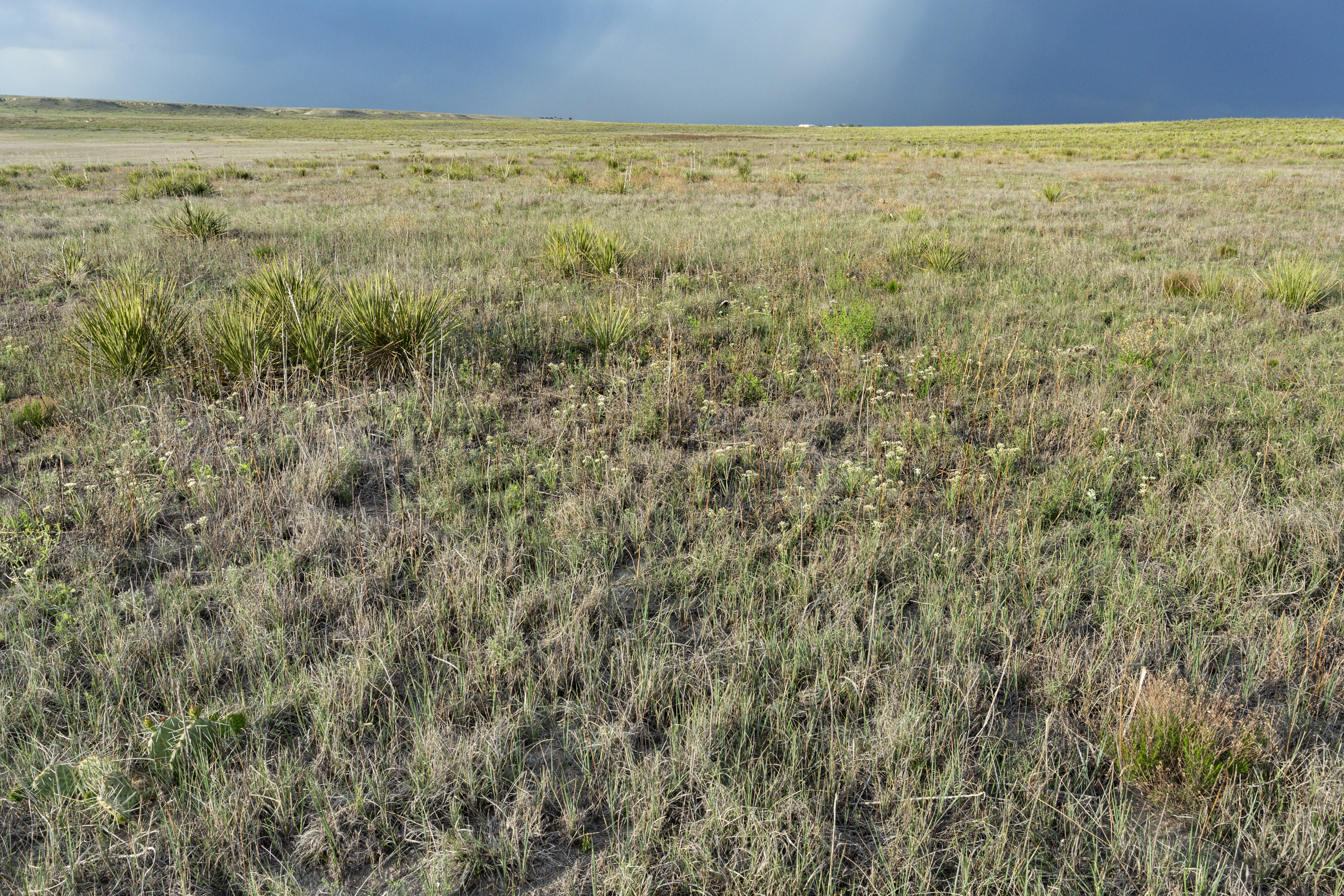
Muleshoe National Wildlife Refuge on the western High Plains is Texas's oldest national wildlife refuge and is especially known for winter concentrations of lesser sandhill cranes around playa wetlands and native grasslands.

Best season: Late fall through early spring for sandhill cranes; spring and fall for migration and milder hiking weather.Updated Sep 2026
  • Texas's oldest national wildlife refuge
  • Lesser sandhill crane concentrations
  • High Plains playa wetlands
Explore this place
Check current drive from Amarillo ↗

Before you go

Use geography as a shortlist, then check the real route.

TexasDefined uses location data to make the statewide catalog easier to search. Open the current driving route for the places you are considering, then verify opening hours, reservations, park alerts, water conditions and weather with the current official source.