Skip to content

Golden Triangle · State parks

State Parks Near Beaumont–Port Arthur, Texas

Texas state parks ordered by geographic proximity, with each park linked to its full TexasDefined visitor guide.

Source-backed options6

Distance windowUp to 150 straight-line miles

OrderingGeographic distance

Straight-line distances are screening estimates from central Beaumont–Port Arthur. They are not road miles or drive-time promises. Use the “Check current drive” links in the map and guide sections below for current Google Maps routing, road mileage and travel-time estimates.

Map & routes

Find it on the map and compare routes

Easy day-trip range

2 full TexasDefined guides in this geographic band

About 61 geographic miles

Jasper

Jasper · Jasper County

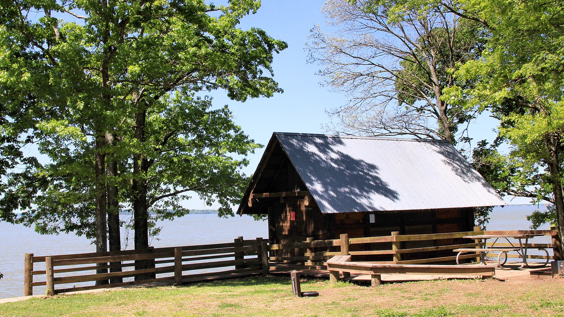
Martin Dies, Jr. State Park

An East Texas park where the Angelina and Neches river country meets the edge of the Big Thicket, with paddling, cypress-lined sloughs, fishing and forest camping around the B.A. Steinhagen Reservoir.

Best season: Fall through spring for paddling, hiking and camping with lower heat and humidityUpdated Oct 2026
  • Paddling through East Texas sloughs and cypress habitat
  • Fishing and boating on B.A. Steinhagen Reservoir
  • Pine and hardwood forest trails
Explore this place
Check current drive from Beaumont–Port Arthur ↗

About 74 geographic miles

Livingston

Livingston · Polk County

Lake Livingston State Park

A Piney Woods reservoir park north of Houston with fishing, paddling, boating, forest trails and campsites along one of East Texas' largest lakes.

Best season: Fall through spring for camping and trails; fishing is popular year-roundUpdated Oct 2026
  • Lake Livingston fishing
  • Piney Woods shoreline
  • Boating and paddling
Explore this place
Check current drive from Beaumont–Port Arthur ↗

Longer day trip

4 full TexasDefined guides in this geographic band

About 100 geographic miles

Huntsville

Huntsville · Walker County

Huntsville State Park

A Piney Woods park north of Houston centered on Lake Raven, with fishing, paddling, swimming, forest trails and camping beneath tall East Texas pines.

Best season: Fall through spring for trails and camping; summer for lake recreationUpdated Oct 2026
  • Lake Raven
  • Pine forest trails
  • Fishing and paddling
Explore this place
Check current drive from Beaumont–Port Arthur ↗

About 105 geographic miles

Needville

Needville · Fort Bend County

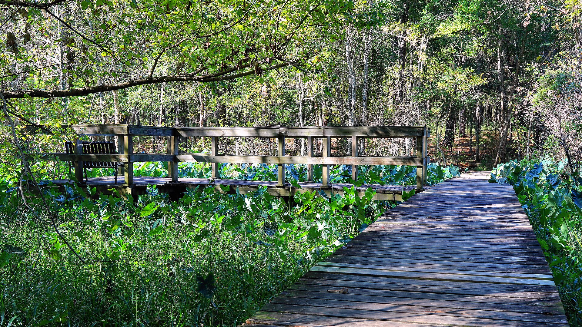
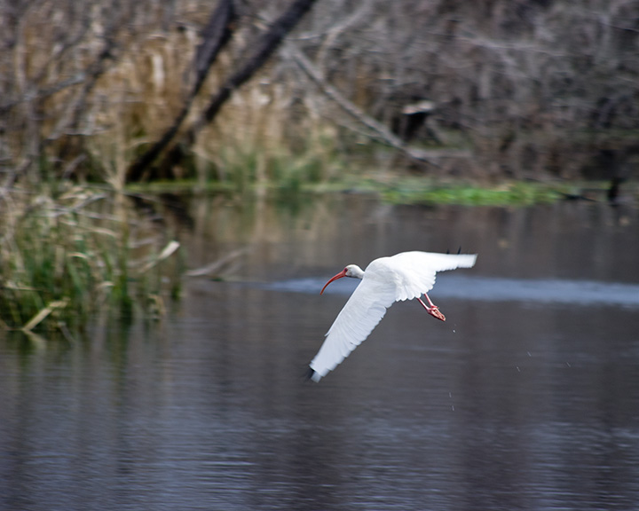
Brazos Bend State Park

Wetlands, coastal prairie and bottomland forest southwest of Houston, best known for close-but-safe alligator viewing, prolific birdlife and miles of flat trails around Elm and 40-Acre lakes.

Best season: Fall through spring for cooler trail weather; wildlife viewing is good year-roundUpdated Oct 2026
  • Elm Lake and 40-Acre Lake loops for alligators, wading birds and wetland views
  • George Observatory, operated by the Houston Museum of Natural Science
  • Restored coastal prairie and shaded bottomland forest trails
Explore this place
Check current drive from Beaumont–Port Arthur ↗

About 125 geographic miles

San Felipe

San Felipe · Austin County

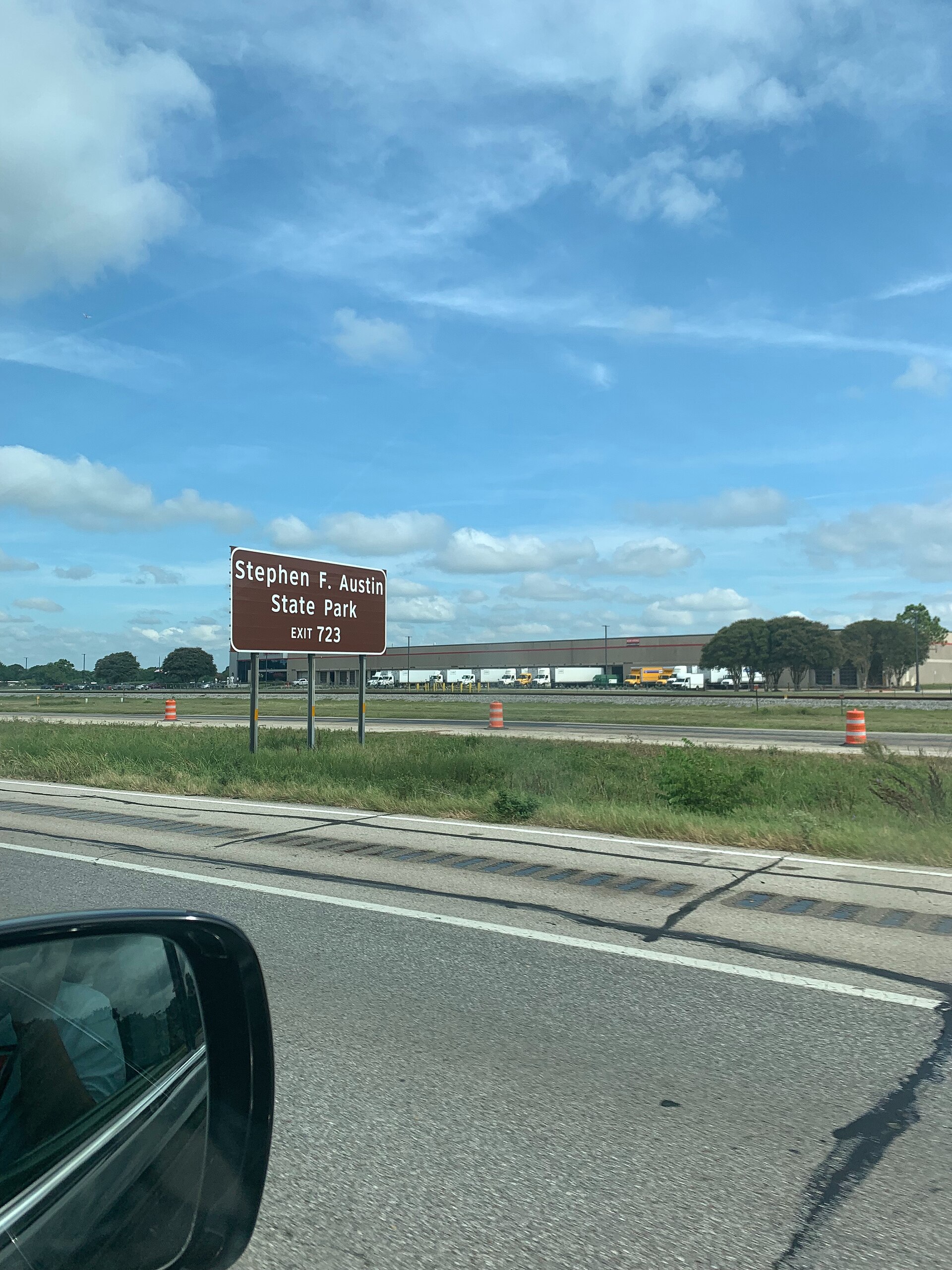
Stephen F. Austin State Park

A Brazos River bottomland park west of Houston with shaded trails, camping, wildlife and a direct historical connection to Stephen F. Austin’s nearby colonial headquarters at San Felipe de Austin.

Best season: Fall through spring for comfortable hiking and camping
  • Shaded Brazos River bottomland forest
  • Easy hiking and biking trails with frequent wildlife sightings
  • Camping and cabins convenient to the Houston area
Explore this place
Check current drive from Beaumont–Port Arthur ↗

About 142 geographic miles

Centerville

Centerville · Leon County

Fort Boggy State Park

A small East-Central Texas park near Centerville with a spring-fed lake, wooded trails, fishing, paddling and quiet cabins suited to a low-key family escape.

Best season: Fall through spring for trails; warm months for lake recreationUpdated Oct 2026
  • Spring-fed lake
  • Fishing and paddling
  • Wooded hiking trails
Explore this place
Check current drive from Beaumont–Port Arthur ↗

Before you go

Use geography as a shortlist, then check the real route.

TexasDefined uses location data to make the statewide catalog easier to search. Open the current driving route for the places you are considering, then verify opening hours, reservations, park alerts, water conditions and weather with the current official source.