Skip to content

Golden Triangle · Swimming holes

Swimming Holes Near Beaumont–Port Arthur, Texas

Source-backed spring, river, pool and swimming destinations, with current access, flow, water-quality and reservation checks left to the destination guide and official source.

Source-backed options8

Distance windowUp to 150 straight-line miles

OrderingGeographic distance

Straight-line distances are screening estimates from central Beaumont–Port Arthur. They are not road miles or drive-time promises. Use the “Check current drive” links in the map and guide sections below for current Google Maps routing, road mileage and travel-time estimates.

Map & routes

Find it on the map and compare routes

Easy day-trip range

4 full TexasDefined guides in this geographic band

About 61 geographic miles

Jasper

Jasper · Jasper County

Martin Dies, Jr. State Park

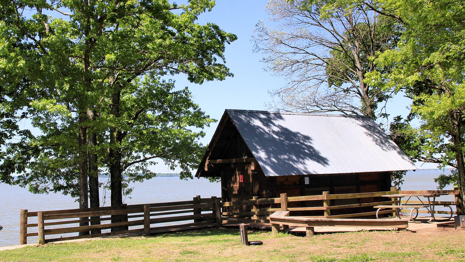
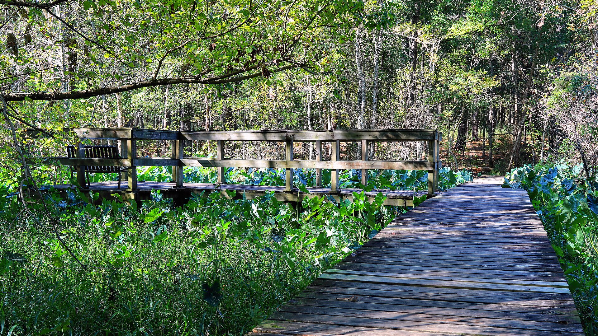
An East Texas park where the Angelina and Neches river country meets the edge of the Big Thicket, with paddling, cypress-lined sloughs, fishing and forest camping around the B.A. Steinhagen Reservoir.

Best season: Fall through spring for paddling, hiking and camping with lower heat and humidityUpdated Oct 2026
  • Paddling through East Texas sloughs and cypress habitat
  • Fishing and boating on B.A. Steinhagen Reservoir
  • Pine and hardwood forest trails
Explore this place
Check current drive from Beaumont–Port Arthur ↗

About 66 geographic miles

Kemah

Kemah · Galveston County

Kemah Boardwalk

Kemah Boardwalk is a Galveston Bay amusement-and-dining district with rides, games, restaurants, seasonal entertainment and waterfront views about 30 miles southeast of central Houston.

Best season: Fall through spring for milder waterfront weather; summer brings more heat, humidity and crowds.Updated Sep 2026
  • Boardwalk Bullet wooden coaster
  • Galveston Bay waterfront
  • Family rides and midway games
Explore this place
Check current drive from Beaumont–Port Arthur ↗

About 74 geographic miles

Livingston

Livingston · Polk County

Lake Livingston State Park

A Piney Woods reservoir park north of Houston with fishing, paddling, boating, forest trails and campsites along one of East Texas' largest lakes.

Best season: Fall through spring for camping and trails; fishing is popular year-roundUpdated Oct 2026
  • Lake Livingston fishing
  • Piney Woods shoreline
  • Boating and paddling
Explore this place
Check current drive from Beaumont–Port Arthur ↗

About 75 geographic miles

Zavalla

Zavalla · Angelina County

Angelina National Forest

A 153,334-acre federal Piney Woods forest encompassing parts of four East Texas counties, Sam Rayburn shorelines, woodland wildlife habitats, hiking, history and distinct recreation areas.

Best season: Fall through spring for comfortable long hikes; spring migration and blooms and year-round forest birding depend on local conditions.Updated Oct 2026
  • 153,334 acres in four counties
  • Boykin Springs Recreation Area
  • Sam Rayburn Reservoir shorelines
Explore this place
Check current drive from Beaumont–Port Arthur ↗

Longer day trip

4 full TexasDefined guides in this geographic band

About 100 geographic miles

Huntsville

Huntsville · Walker County

Huntsville State Park

A Piney Woods park north of Houston centered on Lake Raven, with fishing, paddling, swimming, forest trails and camping beneath tall East Texas pines.

Best season: Fall through spring for trails and camping; summer for lake recreationUpdated Oct 2026
  • Lake Raven
  • Pine forest trails
  • Fishing and paddling
Explore this place
Check current drive from Beaumont–Port Arthur ↗

About 119 geographic miles

Nacogdoches

Nacogdoches · Nacogdoches County

Ruby M. Mize Azalea Garden

An 11-acre SFA garden celebrating native and cultivated azaleas, camellias, Japanese maples and East Texas plants, with free dawn-to-dusk public access.

Best season: Year-round, with spring and fall the most comfortable seasons for combining outdoor and indoor historic stops.Updated Oct 2026
  • 11-acre garden
  • Azalea cultivar and native-azalea collections
  • Camellias in cool season
Explore this place
Check current drive from Beaumont–Port Arthur ↗

About 120 geographic miles

Brazoria

Brazoria · Brazoria and Matagorda counties

San Bernard National Wildlife Refuge

San Bernard National Wildlife Refuge protects more than 70,000 acres from Gulf beaches and coastal marshes inland through prairie, wetlands and bottomland forests along the Brazos and San Bernard river systems.

Best season: Fall through spring for migratory birds and cooler hiking; spring migration is especially strong in forest tracts.Updated Sep 2026
  • Coastal marsh and prairie
  • Bottomland hardwood forests
  • More than 300 bird species
Explore this place
Check current drive from Beaumont–Port Arthur ↗

About 142 geographic miles

Centerville

Centerville · Leon County

Fort Boggy State Park

A small East-Central Texas park near Centerville with a spring-fed lake, wooded trails, fishing, paddling and quiet cabins suited to a low-key family escape.

Best season: Fall through spring for trails; warm months for lake recreationUpdated Oct 2026
  • Spring-fed lake
  • Fishing and paddling
  • Wooded hiking trails
Explore this place
Check current drive from Beaumont–Port Arthur ↗

Before you go

Use geography as a shortlist, then check the real route.

TexasDefined uses location data to make the statewide catalog easier to search. Open the current driving route for the places you are considering, then verify opening hours, reservations, park alerts, water conditions and weather with the current official source.