Skip to content

South Plains · State parks

State Parks Near Lubbock, Texas

Texas state parks ordered by geographic proximity, with each park linked to its full TexasDefined visitor guide.

Source-backed options7

Distance windowUp to 150 straight-line miles

OrderingGeographic distance

Straight-line distances are screening estimates from central Lubbock. They are not road miles or drive-time promises. Use the “Check current drive” links in the map and guide sections below for current Google Maps routing, road mileage and travel-time estimates.

Map & routes

Find it on the map and compare routes

Easy day-trip range

1 full TexasDefined guide in this geographic band

About 74 geographic miles

Quitaque

Quitaque · Briscoe County

Caprock Canyons State Park & Trailway

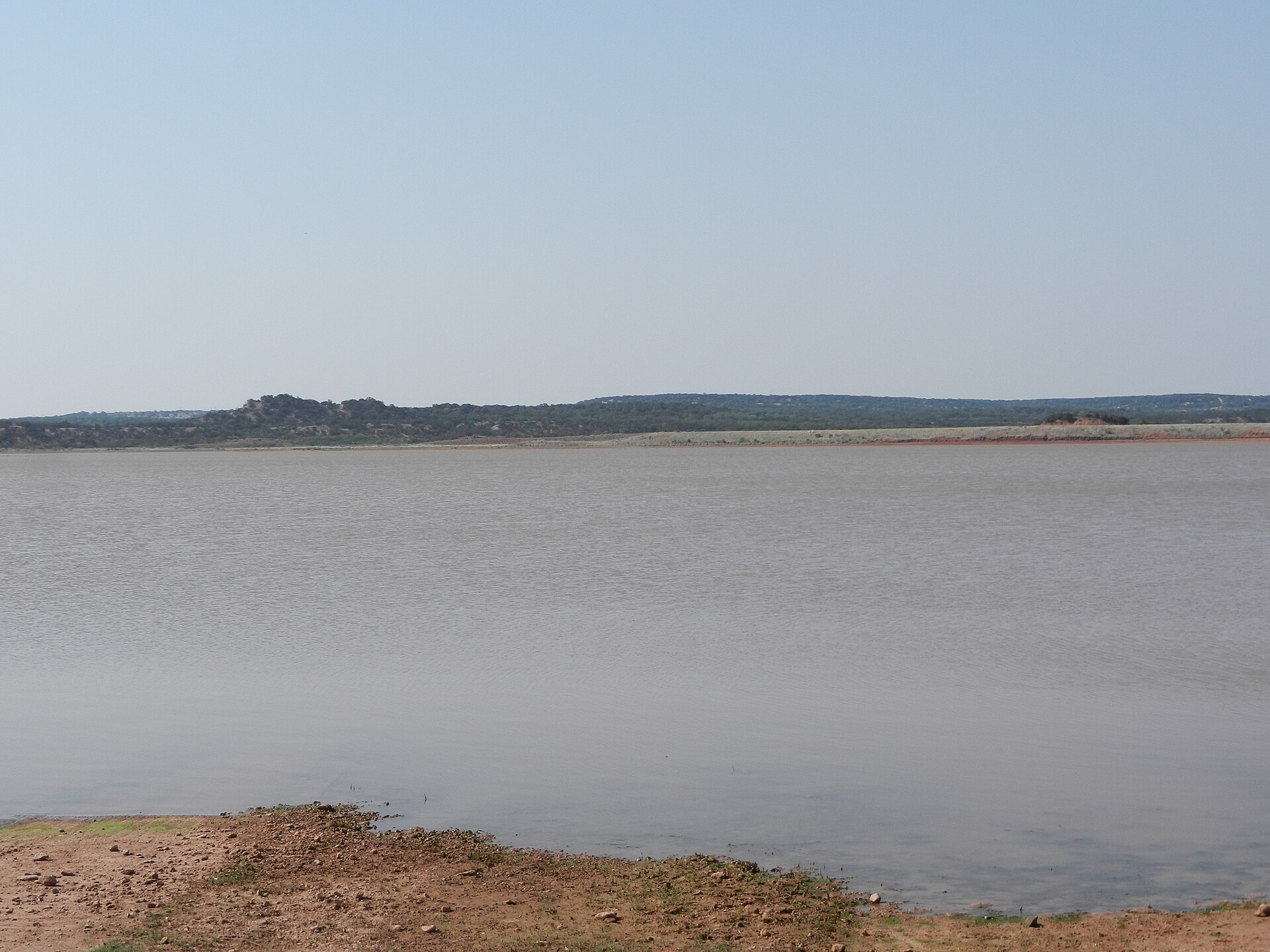
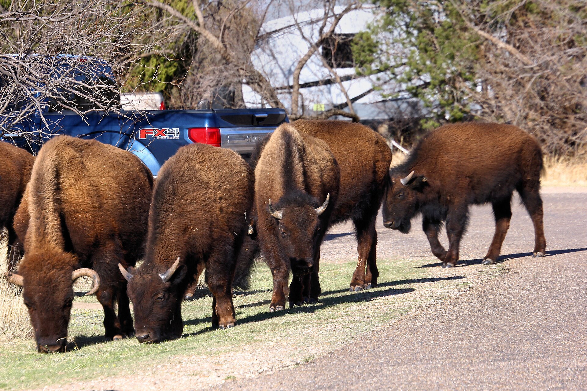
Red-rock canyon country beneath the Caprock Escarpment, home to the official Texas State Bison Herd, Lake Theo and a trail network that connects with a long converted-rail Trailway across the Panhandle.

Best season: Spring and fall for hiking and biking; summer heat can be severeUpdated Oct 2026
  • Free-ranging Texas State Bison Herd; stay at least 50 yards away
  • Redrock canyon hikes and the separate Caprock Trailway
  • Lake Theo swimming and water recreation subject to level and access
Explore this place
Check current drive from Lubbock ↗

Longer day trip

6 full TexasDefined guides in this geographic band

About 95 geographic miles

Big Spring

Big Spring · Howard County

Big Spring State Park

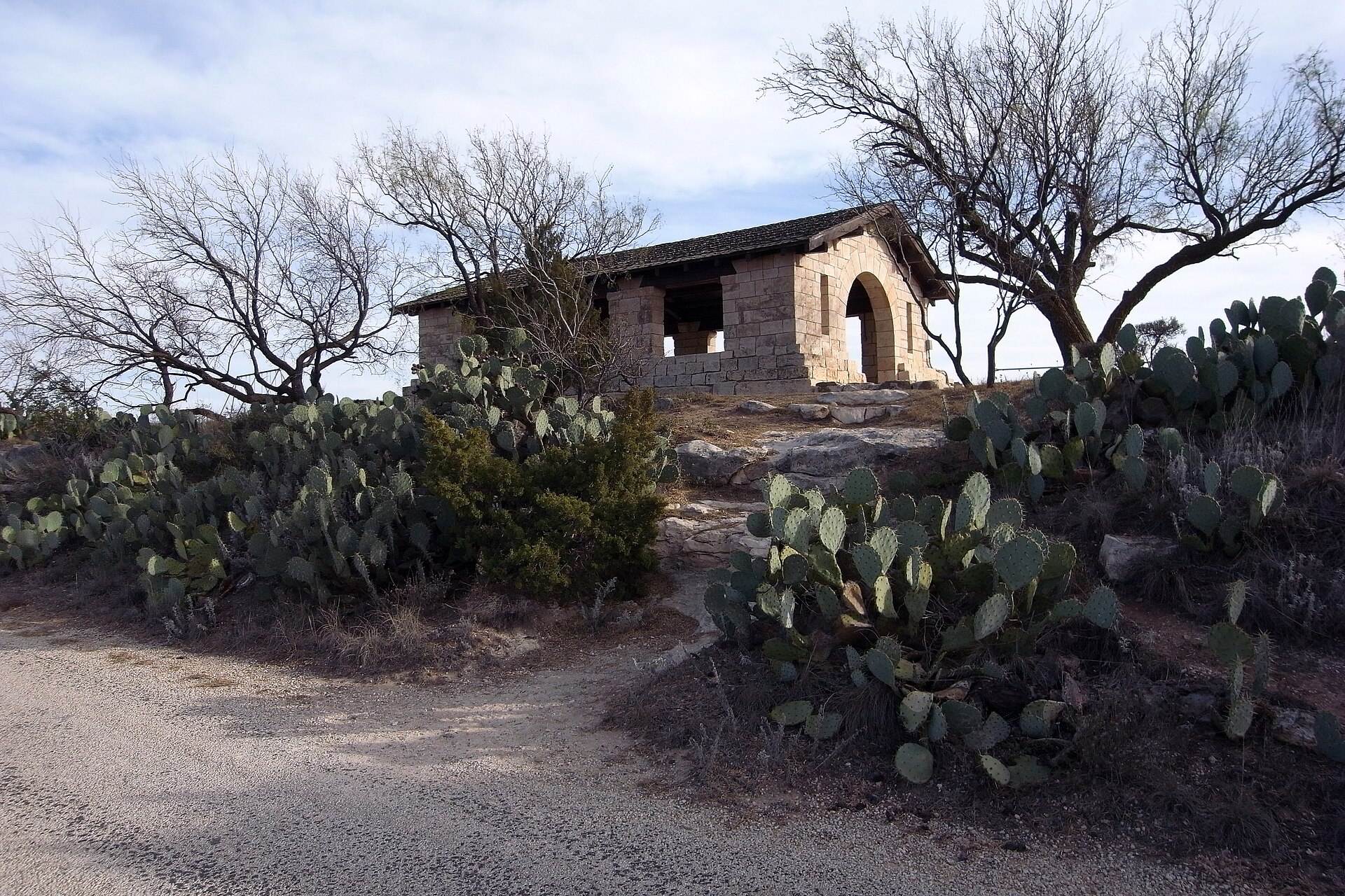
A compact West Texas park atop Scenic Mountain, where a CCC-built loop road and overlooks provide broad views across Big Spring and the surrounding plains.

Best season: Fall through spring; sunrise and sunset are especially rewarding
  • Scenic Mountain overlooks
  • CCC-built loop road and stonework
  • Sunrise and sunset views
Explore this place
Check current drive from Lubbock ↗

About 98 geographic miles

Canyon

Canyon · Randall County

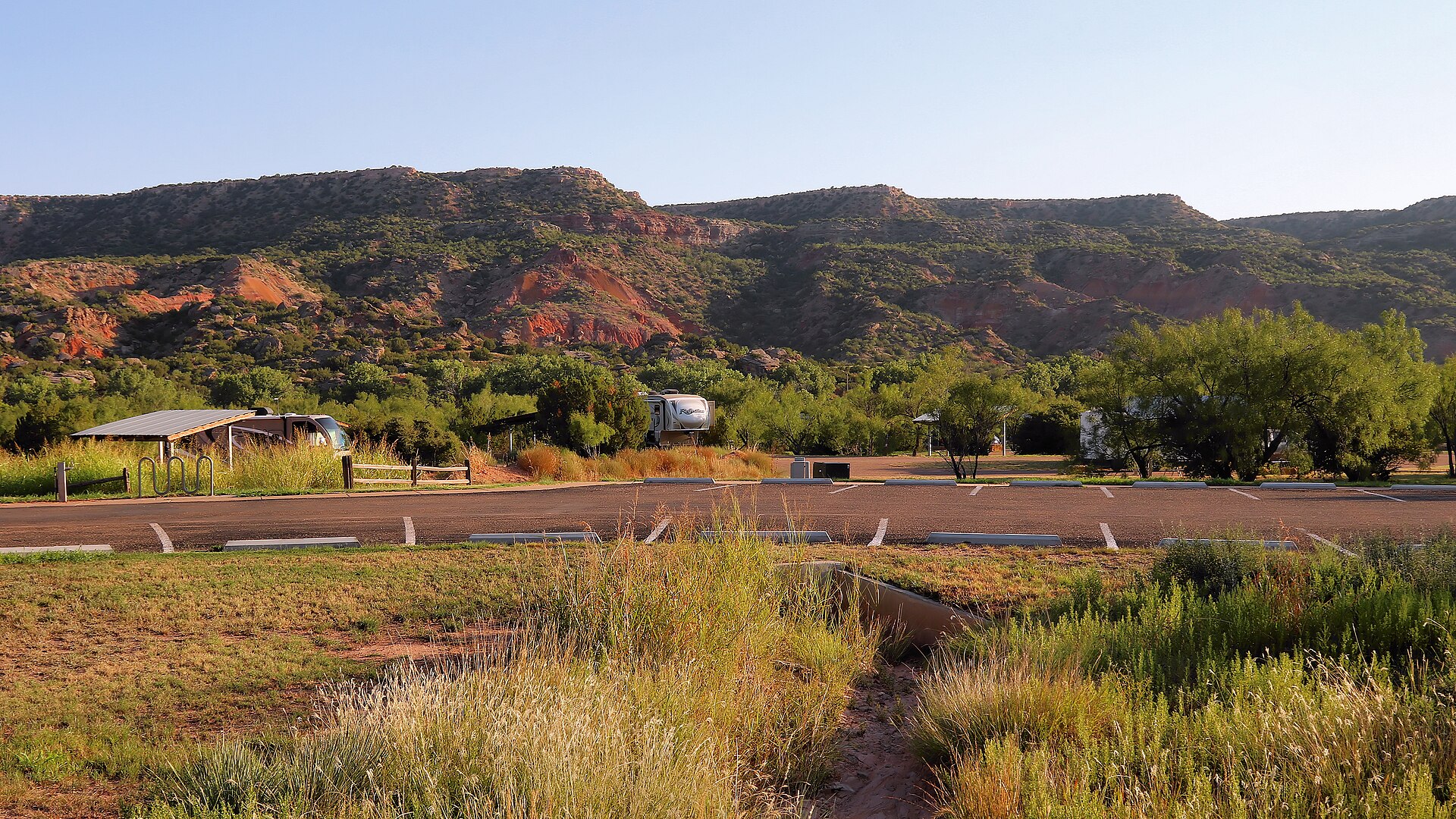
Palo Duro Canyon State Park

The Panhandle's immense red-rock canyon state park, often called the Grand Canyon of Texas, with more than 30 miles of hiking, biking and equestrian trails, dramatic rim-to-floor drives, CCC history and the iconic Lighthouse formation near Canyon and Amarillo.

Best season: Spring and fall for hiking; winter can be excellent on mild days, while summer requires early starts, heat awareness and frequent water breaks on exposed canyon trailsUpdated Aug 2026
  • Lighthouse Trail and the park's signature rock formation
  • Canyon rim overlooks and scenic drive to the floor
  • More than 30 miles of hiking, biking and equestrian trails
Explore this place
Check current drive from Lubbock ↗

About 102 geographic miles

Colorado City

Colorado City · Mitchell County

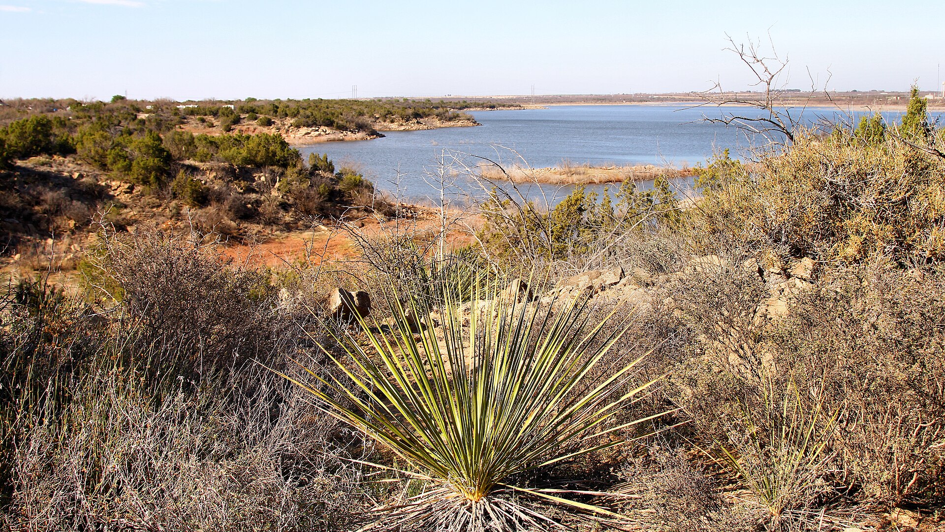
Lake Colorado City State Park

A quiet West Texas reservoir park near Colorado City with fishing, boating, camping and open prairie-and-mesquite scenery under big skies.

Best season: Fall through spring; summer heat can be intenseUpdated Oct 2026
  • Lake Colorado City
  • Fishing and boating
  • Open West Texas scenery
Explore this place
Check current drive from Lubbock ↗

About 127 geographic miles

Quanah

Quanah · Hardeman County

Copper Breaks State Park

Quiet red-earth breaks and rolling prairie near Quanah, known for dark skies, rugged short trails, Lake Copper Breaks and a landscape tied to the history of the Texas Longhorn herd.

Best season: Fall through spring; clear moonless nights are best for stargazing
  • International Dark Sky setting and astronomy programs
  • Red-earth breaks and prairie trails
  • Lake Copper Breaks fishing and paddling
Explore this place
Check current drive from Lubbock ↗

About 146 geographic miles

Monahans

Monahans · Ward County

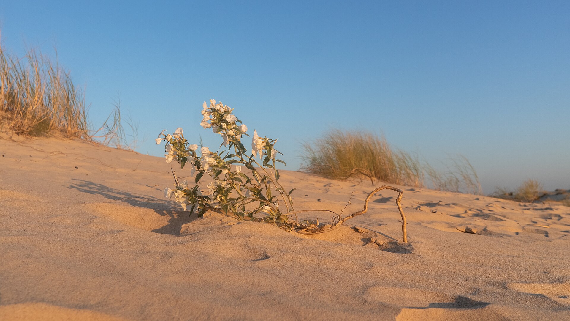
Monahans Sandhills State Park

A West Texas field of wind-shaped dunes where visitors can roam without marked trails, rent sand discs, camp beneath wide skies and watch the landscape change after every strong wind.

Best season: Fall through spring for comfortable dune exploration; summer sand and air temperatures can be extreme
  • Open dune field shaped constantly by West Texas wind
  • Sand-disc rentals for sledding the dunes
  • No fixed trails, allowing free exploration across the sand
Explore this place
Check current drive from Lubbock ↗

About 147 geographic miles

Abilene

Abilene · Taylor County

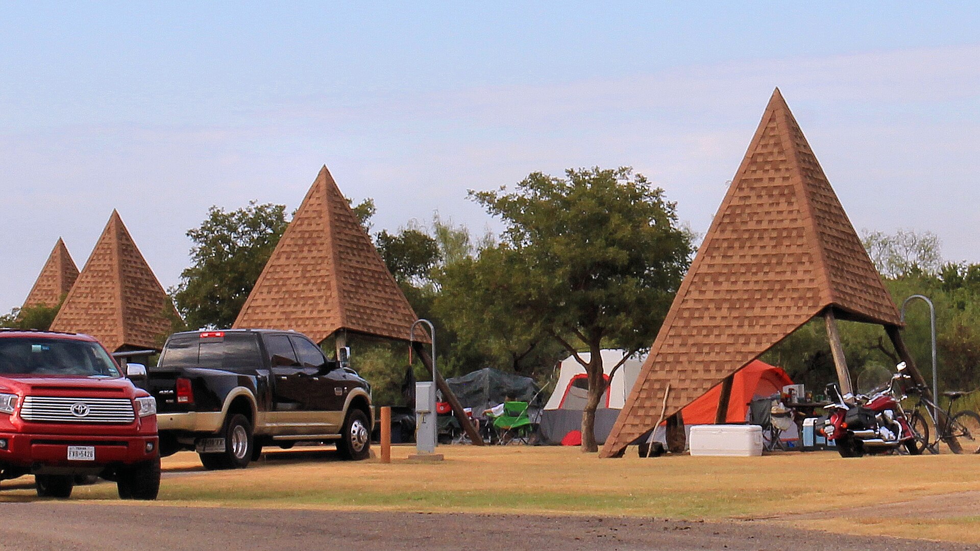
Abilene State Park

A shady West Texas park south of Abilene where pecan, elm and oak trees surround historic CCC structures, camping and a swimming pool near Lake Abilene.

Best season: Fall through spring for camping and trails; pool operations are seasonalUpdated Oct 2026
  • Historic CCC structures and shaded campground trails
  • Park swimming pool closed for renovations—not a currently bookable pool outing
  • Lake Abilene restrictions: no fishing, swimming, ramps or kayak rental
Explore this place
Check current drive from Lubbock ↗

Before you go

Use geography as a shortlist, then check the real route.

TexasDefined uses location data to make the statewide catalog easier to search. Open the current driving route for the places you are considering, then verify opening hours, reservations, park alerts, water conditions and weather with the current official source.