Seasonal · Nov 20, 2026
Meet The Longhorns
Quanah · Copper Breaks State Park
Last verified Nov 16, 2026. Confirm event-day details with the official source before traveling.
North Texas / Red River · Things to do
A broad nearby guide spanning parks, water, towns, history, food and outdoor destinations.
Source-backed options14
Distance windowUp to 90 straight-line miles
OrderingGeographic distance
Straight-line distances are screening estimates from central Wichita Falls. They are not road miles or drive-time promises. Use the “Check current drive” links in the map and guide sections below for current Google Maps routing, road mileage and travel-time estimates.
This page is available for navigation but remains excluded from search indexing until its source-backed inventory reaches the minimum inventory and geographic-diversity thresholds for this intent.
Dated things to do
These source-verified events are in the metro or in nearby towns already represented by this page.
Seasonal · Nov 20, 2026
Quanah · Copper Breaks State Park
Last verified Nov 16, 2026. Confirm event-day details with the official source before traveling.
Seasonal · Nov 21, 2026
Quanah · Copper Breaks State Park
Last verified Nov 16, 2026. Confirm event-day details with the official source before traveling.
Sports · Nov 21, 2026 · 7:00 PM
Wichita Falls · Kay Yeager Coliseum
Last verified Nov 17, 2026. Confirm event-day details with the official source before traveling.
Sports · Nov 22, 2026 · 2:00 PM
Wichita Falls · Kay Yeager Coliseum
Last verified Nov 17, 2026. Confirm event-day details with the official source before traveling.
Seasonal · Nov 27, 2026
Quanah · Copper Breaks State Park
Last verified Nov 16, 2026. Confirm event-day details with the official source before traveling.
Seasonal · Nov 27, 2026
Mineral Wells · Downtown Mineral Wells
Last verified Oct 23, 2026. Confirm event-day details with the official source before traveling.
Seasonal · Nov 28, 2026
Quanah · Copper Breaks State Park
Last verified Nov 16, 2026. Confirm event-day details with the official source before traveling.
Seasonal · Nov 28, 2026
Mineral Wells · Downtown Mineral Wells
Last verified Oct 23, 2026. Confirm event-day details with the official source before traveling.
Map & routes
Find it on the map and compare routes
Close to the metro
About 12 geographic miles
Wichita FallsWichita Falls · Clay County
Plan lake fishing, boating, camping, disc golf and open-prairie trails at Lake Arrowhead State Park south of Wichita Falls, with official reservoir and park-map resources.
Easy day-trip range
About 49 geographic miles
SeymourSeymour · Baylor County
Seymour is a North Texas Baylor County town whose standout identity comes from world-class Permian fossil beds, the Whiteside Museum of Natural History, a historic downtown, large city park and an unusually broad set of family recreation spaces.
About 53 geographic miles
JacksboroJacksboro · Jack County
Walk historic buildings from a nineteenth-century U.S. Army post near Jacksboro, then plan camping, walking and cycling on the connected Lost Creek Reservoir State Trailway.
About 56 geographic miles
GrahamGraham · Young County
Graham is a north-central Texas courthouse town built around an unusually large downtown square, with western-trail history, public art, local shopping and dining, and easy access to Lake Graham, Lake Eddleman and the wider Possum Kingdom country.
About 56 geographic miles
GrahamGraham · Young County
Visit Graham's Young County Museum of History & Culture for frontier-era artifacts, Indigenous history, ranching and oil heritage, a county timeline, historic maps, oral histories and archival research. Includes independently checked visiting details and a nearby heritage itinerary.
About 56 geographic miles
GrahamGraham · Young County
The Old Post in Graham is Young County's historic Old Post Office Museum & Art Center, pairing local history, rotating art exhibitions and educational programming inside the city's preserved 1936 federal post office.
About 72 geographic miles
CaddoCaddo · Palo Pinto County
A rugged lake park west of Fort Worth on Possum Kingdom Reservoir, with clear-water swimming, boating, fishing and camping beneath the limestone breaks of the Brazos River country.
About 73 geographic miles
QuanahQuanah · Hardeman County
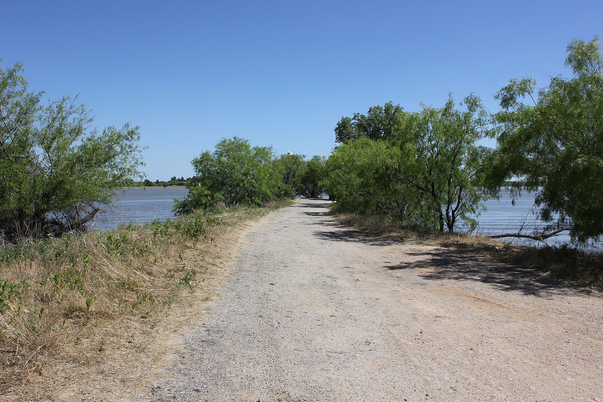
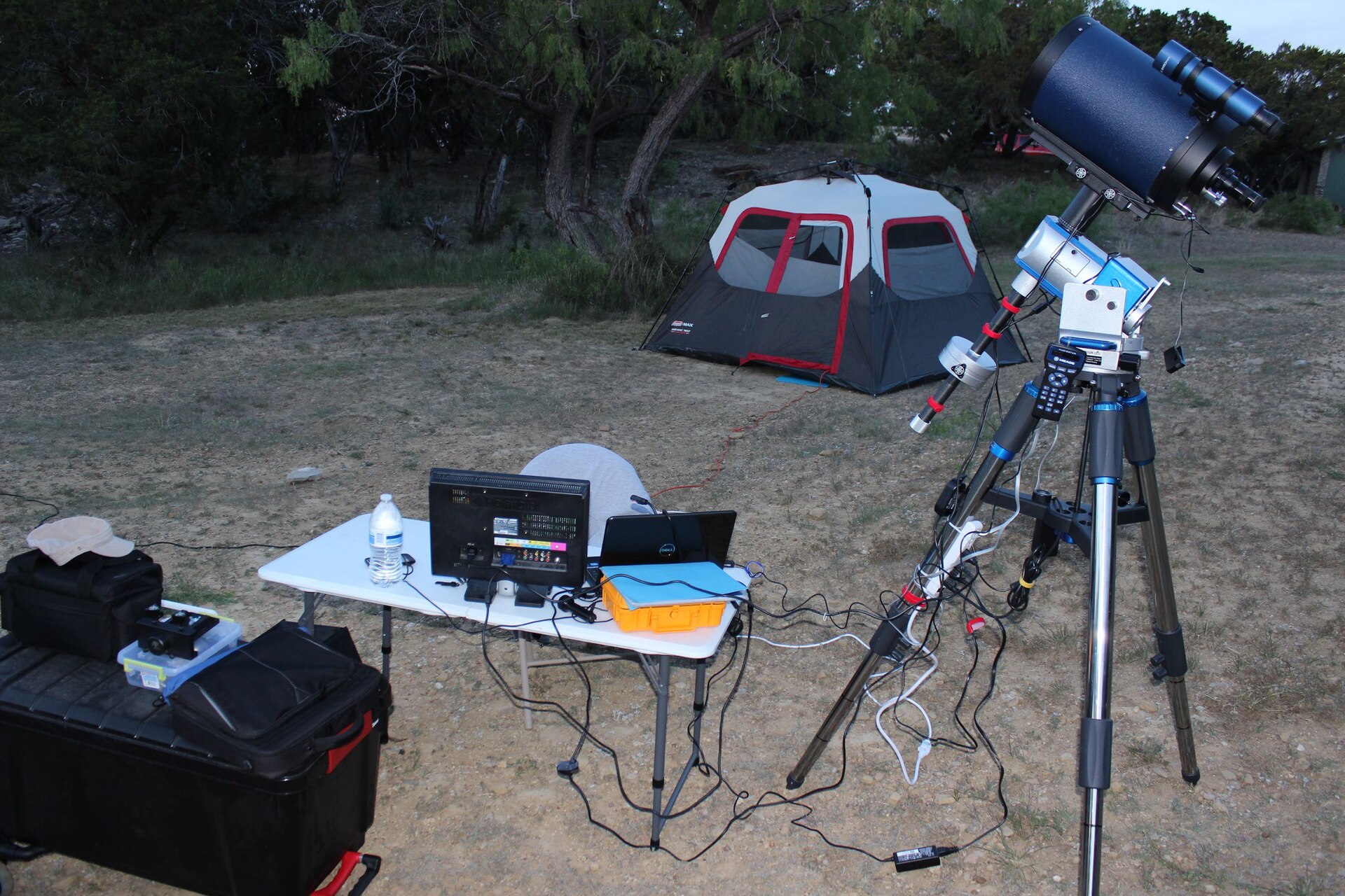
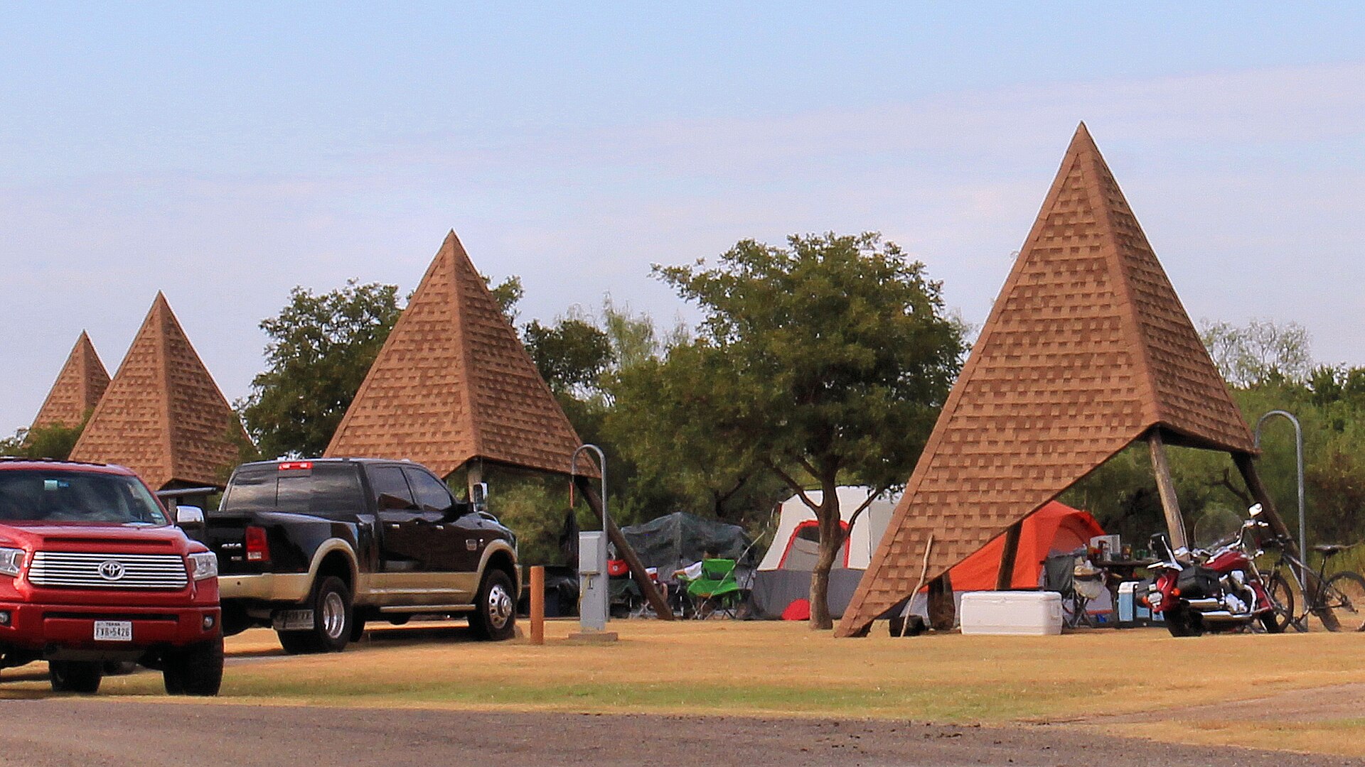
Quiet red-earth breaks and rolling prairie near Quanah, known for dark skies, rugged short trails, Lake Copper Breaks and a landscape tied to the history of the Texas Longhorn herd.
About 79 geographic miles
GainesvilleGainesville · Cooke County
A free museum on North Central Texas College's Gainesville campus, devoted to the stories of Medal of Honor recipients and Gainesville's Host City tradition. This independent guide covers exhibits, current hours, school trips, parking and nearby historic stops.
Longer day trip
About 80 geographic miles
Mineral WellsMineral Wells · Parker County
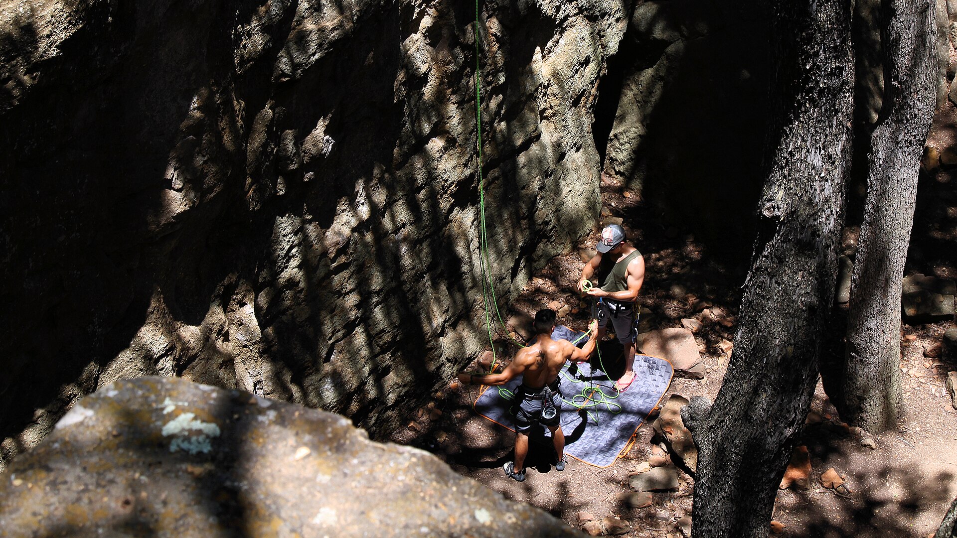
A North Texas park where Lake Mineral Wells, sandstone cliffs and the Penitentiary Hollow climbing area meet a long trail system and the Lake Mineral Wells State Trailway.
About 81 geographic miles
AlbanyAlbany · Shackelford County
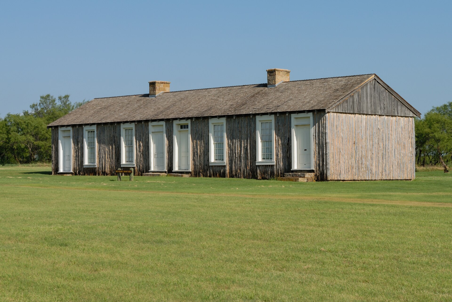
Fort Griffin operated from 1867 to 1881 as part of the U.S. Army's network of frontier posts on the Southern Plains. Ruins, military history and the surrounding ranch landscape make this one of the strongest places to connect frontier expansion with the cattle era.
About 81 geographic miles
AlbanyAlbany · Shackelford County
The official state herd preserves and interprets the Texas Longhorn, the cattle breed inseparable from trail-driving and ranching history. Seeing the herd at Fort Griffin adds living context to the fort, ranching and cattle-trail stories preserved across North and West Texas.
About 83 geographic miles
BreckenridgeBreckenridge · Stephens County
Breckenridge is a Stephens County courthouse town with an oil-boom history, a mural-rich downtown, local museums and two major nearby lake landscapes—Hubbard Creek Reservoir and Possum Kingdom country—within an easy west-of-DFW road-trip corridor.
About 89 geographic miles
WeatherfordWeatherford · Parker County
Weatherford links an 1886 Parker County courthouse and historic square with Chandor Gardens, the Doss Heritage & Culture Center and the working ranch and horse culture of the Western Cross Timbers.
Before you go
TexasDefined uses location data to make the statewide catalog easier to search. Open the current driving route for the places you are considering, then verify opening hours, reservations, park alerts, water conditions and weather with the current official source.