
Texas trails · five very different rides
Mountain Biking in Texas: 5 Public Trail Systems & Where to Ride
Compare desert mountains, Big Bend backcountry, an MTB-only canyon loop, rocky Hill Country and East Texas forest riding—with trail mileage, difficulty cues, maps and practical planning links for each system.
Choose your ride
Five Texas trail systems at a glance
If you only need the decision-making version of this guide, start here. Trail status can change, so the official map linked inside each section should still be your final check.
| Trail system | Best for | Trail scale | Terrain | Start here |
|---|---|---|---|---|
| Franklin Mountains State Park | A huge desert trail network beside a major city | 100+ miles | Rocky Chihuahuan Desert mountain terrain | Use the current TPWD trail map to match mileage and difficulty to your group. |
| Big Bend Ranch State Park | Remote backcountry riding and multi-day desert trips | 238 miles multiuse | High-desert basins, canyon country and rugged ranch roads | Study the Contrabando system first if you want a defined mountain-biking planning anchor. |
| Palo Duro Canyon State Park | A clear MTB-only ride plus a larger canyon trail day | Capitol Peak: 3.5-mile MTB-only loop | Canyon floor, red-rock slopes and exposed Panhandle terrain | Capitol Peak gives riders one loop with green, blue and black difficulty sections. |
| Hill Country State Natural Area | Rocky Hill Country riding in a primitive shared-use setting | 40 miles shared-use | Creek bottoms, limestone hills, canyons and plateaus | Merrick Mile is a 1-mile easy-to-moderate loop; use it to sample the terrain before going deeper. |
| Tyler State Park | Forested loops and a compact first East Texas MTB weekend | 13 miles of park trails | Pine and hardwood forest with rolling elevation changes | A Loop (2.6 mi) and B Loop (3.1 mi) are both rated moderate by TPWD. |
Why these five?
A statewide sampler, not five interchangeable parks
Texas mountain biking changes dramatically with geography. Franklin Mountains gives you a giant desert network minutes from El Paso. Big Bend Ranch is about scale and remoteness. Palo Duro has a clearly designated MTB-only loop with multiple difficulty levels. Hill Country State Natural Area is a rocky, shared-use backcountry system. Tyler State Park is compact, wooded and easy to fold into a camping weekend.
That contrast is the point of the list. There are many more places to ride in Texas, including additional state parks, trailways and locally managed systems. Use TPWD's statewide biking page when you want to expand beyond these five.
01 · Far West Texas · El Paso
Franklin Mountains State Park
A huge desert trail network beside a major city
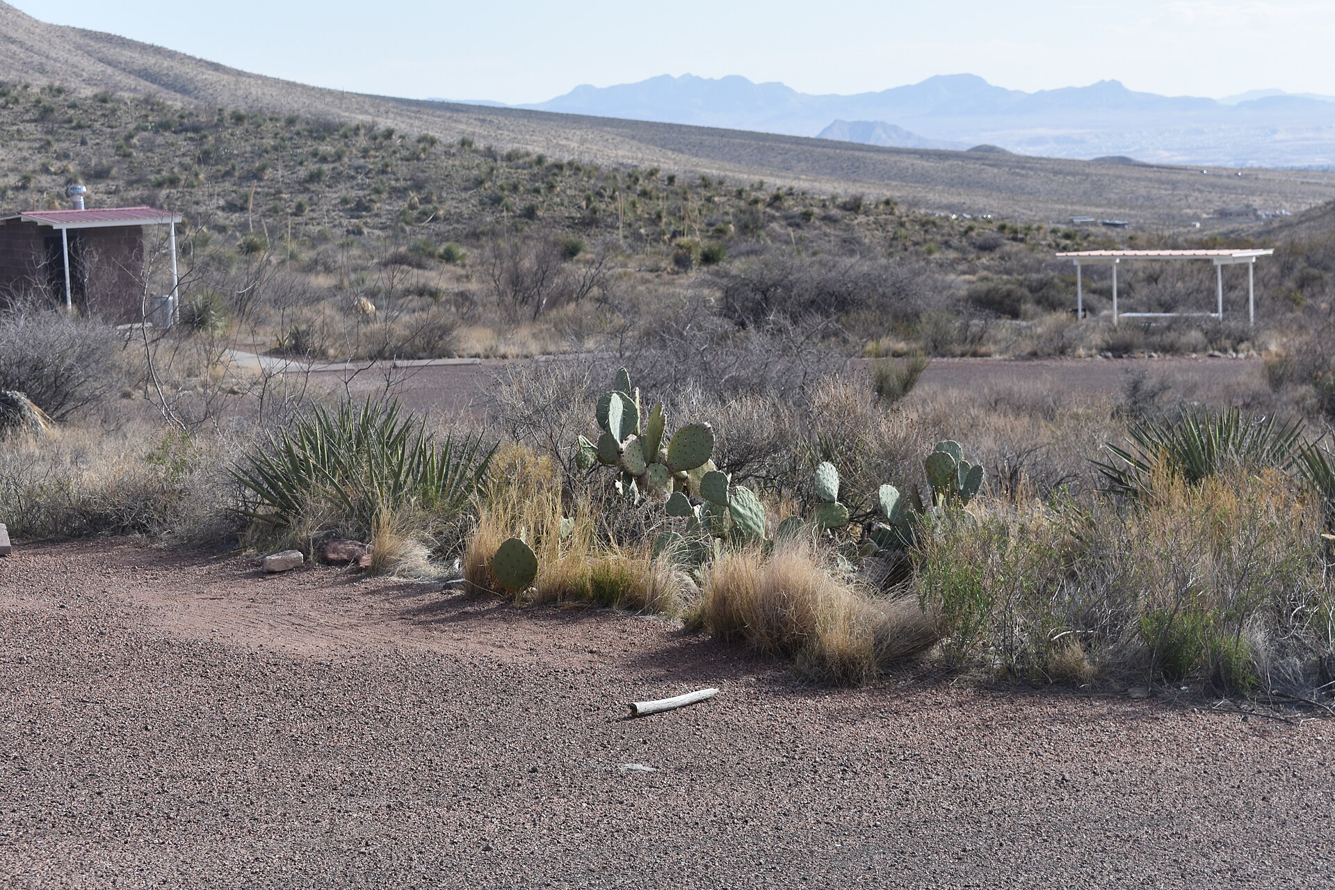
Franklin Mountains is the easiest place on this list to combine serious desert riding with a city stay. The park rises directly out of El Paso and TPWD says riders and hikers can explore almost 27,000 acres on more than 100 miles of trail.
What to know before you ride
The attraction is choice: short outings, longer mountain traverses and rugged desert terrain all live inside the same park system.
Do not choose a route by mileage alone. Loose rock, exposure, climbing and heat can make a short desert ride feel much bigger than the number on the map.
The best first move is to open TPWD's current trail map, choose a distance and rating that fit your group, then build the rest of the day around that route rather than improvising after arrival.
02 · Big Bend · Presidio / Lajitas country
Big Bend Ranch State Park
Remote backcountry riding and multi-day desert trips
Big Bend Ranch is the heavyweight of this group. TPWD lists 238 miles of multiuse trails across Texas's largest state park, and the biking page points riders to dedicated material for Contrabando, Encino, Fresno Canyon and other routes.
What to know before you ride
Contrabando is the most obvious starting point for riders who want a named trail system with its own park brochure instead of planning a route from the full backcountry map.
More remote options such as Encino and the Fresno Canyon area demand a different mindset: route-finding, water, road access and the distance back to services matter as much as the trail itself.
TPWD warns that warm-season temperatures can exceed 100°F by late morning. Big Bend Ranch is a place to plan conservatively, download maps before leaving service and treat park alerts as part of the ride plan.

03 · Panhandle · Canyon / Amarillo
Palo Duro Canyon State Park
A clear MTB-only ride plus a larger canyon trail day
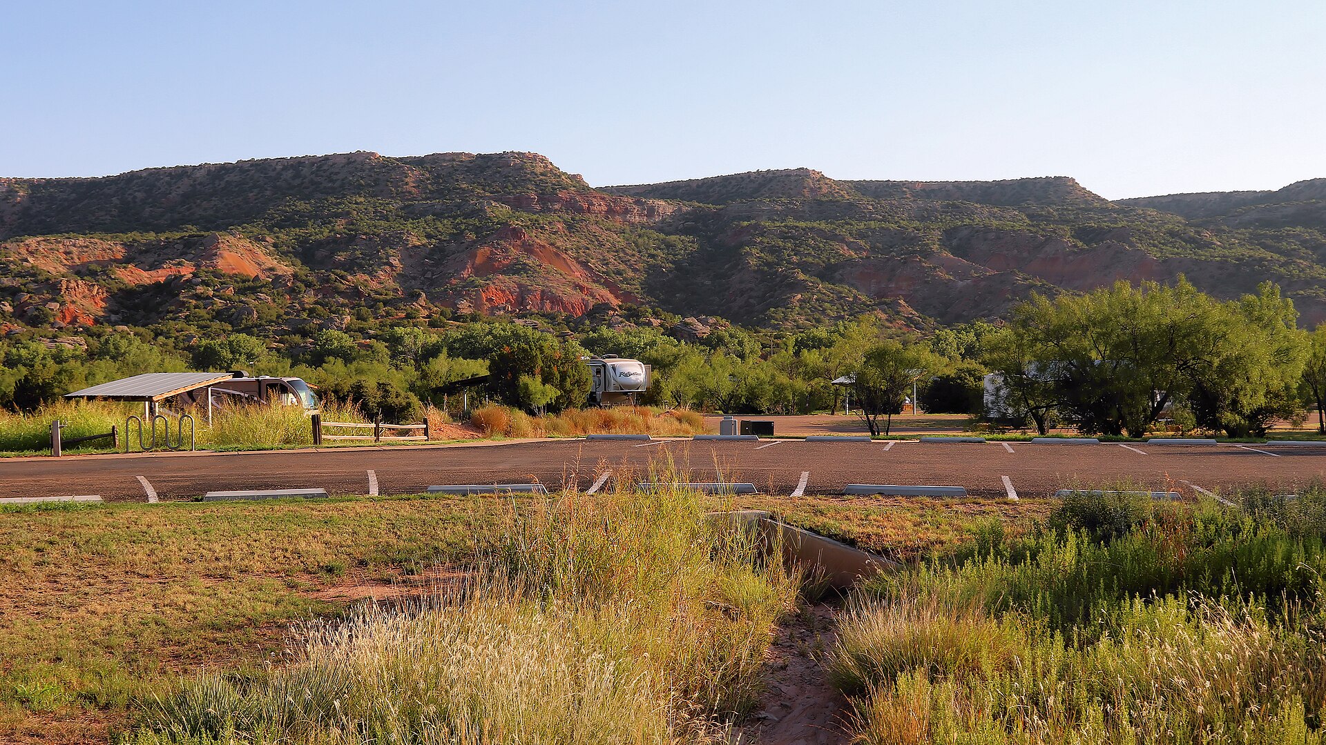
Palo Duro is the easiest system on this list to explain to a rider who wants one obvious place to start. Capitol Peak is a 3.5-mile loop reserved for mountain bikes, and TPWD divides the ride into green, blue and black sections for easy, moderate and difficult terrain.
What to know before you ride
That progression makes Capitol Peak useful for mixed groups: riders can see the park's difficulty language before committing to harder terrain elsewhere in the canyon.
Many additional Palo Duro trails allow both hiking and biking, so the MTB-only loop can be the centerpiece of a larger day rather than the entire visit.
Canyon heat and wet-weather closures can change plans quickly. Check the current trail page before driving down into the park, especially after rain or during hot-weather periods.
04 · Hill Country · Bandera
Hill Country State Natural Area
Rocky Hill Country riding in a primitive shared-use setting
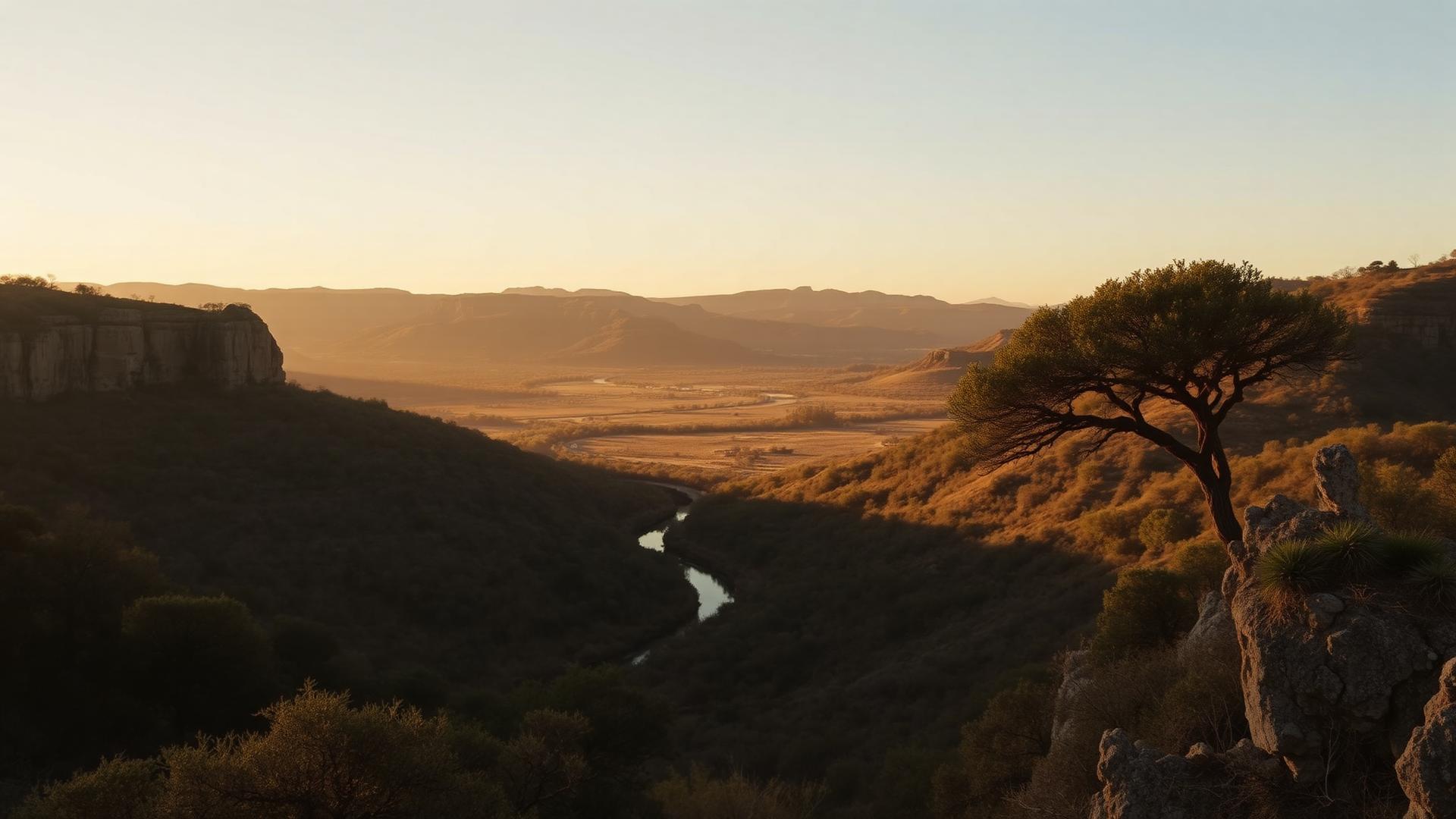
Hill Country State Natural Area trades bike-park polish for a rugged former-ranch landscape. TPWD lists 40 miles of trail, and every trail in the system is shared by hikers, mountain bikers and horseback riders.
What to know before you ride
Merrick Mile is the most approachable named entry point on the current TPWD trail list: a one-mile easy-to-moderate loop near headquarters with a mild climb and descent.
From there, the system opens into steeper, rockier Hill Country terrain. The attraction is not one signature bike trail so much as the chance to build a longer ride through creek bottoms, ridges and open plateau country.
Because this is a natural area rather than a purpose-built MTB park, temporary closures and shared-use etiquette matter. Slow for horses and hikers, follow posted yielding rules and check wet-weather status before arrival.
05 · East Texas · Tyler
Tyler State Park
Forested loops and a compact first East Texas MTB weekend
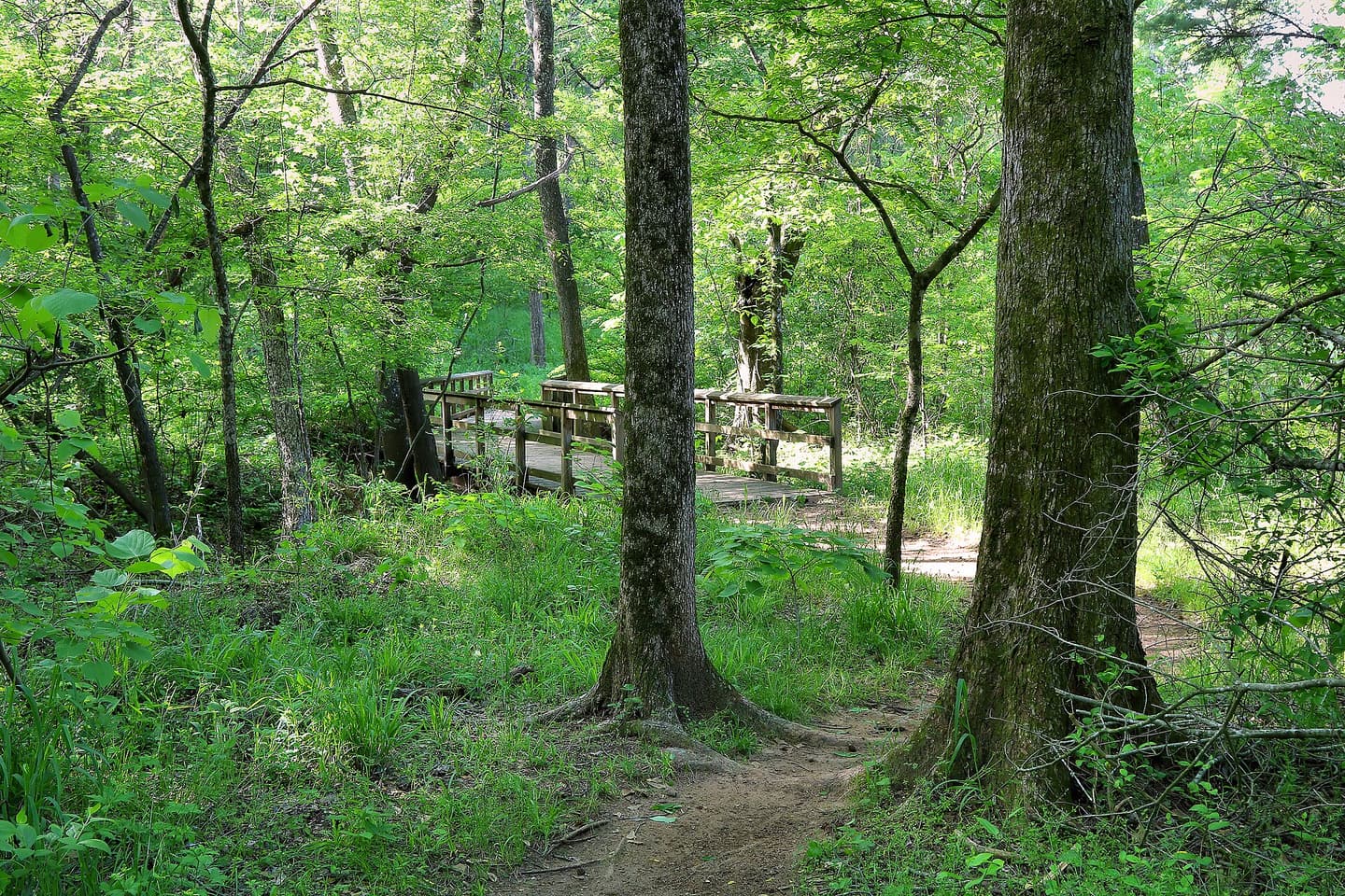
Tyler State Park is the visual reset after four drier systems. Instead of cactus, exposed limestone or canyon walls, the riding moves through Pineywoods forest around a spring-fed lake on a compact network that is easy to pair with camping or a half-day visit.
What to know before you ride
TPWD rates the 2.6-mile A Loop moderate and notes elevation changes and loose-gravel obstacles. The 3.1-mile B Loop is also moderate and adds more sustained elevation change through different forest types.
Directional rules are unusually useful here: on multiuse trails, bikers travel clockwise while hikers travel counter-clockwise. That is the kind of park-specific detail worth knowing before the first turn.
Rain and soft trail surfaces can affect the system, so use the current park trail page rather than assuming a forest loop will be rideable after wet weather.
Before you roll
Four checks that matter more than a saved screenshot
Trail status
Check the land manager's current alert and trail page. Wet-weather, wildfire, maintenance and resource-protection closures can override an older map.
Heat and weather
Texas riding conditions can change sharply by region and season. Desert and canyon systems deserve especially conservative heat planning.
Shared-use rules
Several systems on this page are shared with hikers and horses. Follow the park's posted direction, yielding and access rules.
Offline navigation
Download the current trail map before leaving service. Remote parks can have weak or nonexistent cell coverage.
Keep planning
Turn the ride into a better Texas trip
Official sources
Maps and conditions should come from TPWD
Mileage, access, trail direction, closures and park operations can change. These first-party sources support the guide and should control current trip decisions. Source review: September 30, 2026.
- TPWD — Biking in State Parks ↗
Statewide biking guidance, trail ratings, multiuse etiquette and current e-bike rules.
- TPWD — Franklin Mountains State Park ↗
Official park overview with current alerts and the 100-plus-mile trail network.
- TPWD — Franklin Mountains Plan Your Visit ↗
Current route-planning links, interactive map and trail recommendations.
- TPWD — Big Bend Ranch State Park ↗
Official access, heat, reservation and 238-mile multiuse-trail guidance.
- TPWD — Big Bend Ranch Activities ↗
Mountain-biking resources for Contrabando, Encino, Fresno Canyon and other park routes.
- TPWD — Palo Duro Canyon Trails ↗
Current trail map and bike-use designations, including the Capitol Peak MTB-only loop.
- TPWD — Hill Country State Natural Area Trails ↗
Forty miles of shared-use trails with current trail descriptions and maps.
- TPWD — Tyler State Park Trails ↗
Current trail distances, difficulty ratings and directional rules for bikers and hikers.