
County Guide
Culberson County
From the old railroad town of Van Horn to Texas' highest point, white gypsum dunes and the Guadalupe Mountains, Culberson County turns a remote stretch of Far West Texas into a story of trails, ranches, geology and persistence.
- Guide type
- Texas county guide
- County seat
- Van Horn, Texas
- Source check
- Official source checked
- Last reviewed
- August 4, 2026
Verified county profile
What the data says about Culberson County
The 2020 Census counted 2,188 residents across about 3,812 square miles of land. Dividing those two Census figures gives roughly 0.57 residents per square mile.
Census geography also records about 0 square miles of water. Water represents approximately 0.0% of the county's mapped land-and-water area.
Van Horn is the verified county seat.
Texas Defined does not add an unsourced list of local communities. Additional places appear here only when the structured place directory contains a verified county relationship.
Understand the bigger picture
These Texas Explained guides add statewide context to the geography, settlement and infrastructure behind Culberson County.
Explore Texas Explained →Statewide context
Where Culberson County sits in the county data
These ranks use the same Texas State Library and U.S. Census county dataset as the statewide comparison. A rank is shown only when that metric is available for the county and the comparison set; missing source values are excluded rather than estimated.
- 2020 population
- #231
- of 254 counties with source data
- land area
- #5
- of 254 counties with source data
- population density
- #249
- of 254 counties with source data
- water share
- #247
- of 254 counties with source data
Property tax rates
Taxing units in Culberson County
Texas property taxes are imposed by separate local taxing units. The table below lists finalized statewide records associated with Culberson County. A district appearing here does not mean every property in the county pays that district; use the exact parcel record to determine jurisdiction.
Checking finalized local tax rates…
At a glance
The county in numbers
- County seat
- Van Horn, Texas
- 2020 population
- 2,188
- Land area
- 3,812 sq. mi.
- Water area
- 0 sq. mi.
- Population density
- 0.57 / sq. mi.
- Water share
- 0.0%
County questions
Quick answers about Culberson County
What is the county seat of Culberson County?
Van Horn, Texas is the county seat of Culberson County.
How many people live in Culberson County?
The 2020 U.S. Census counted 2,188 residents in Culberson County.
How densely populated is Culberson County?
Using the 2020 Census population and Census land-area figure, Culberson County has about 0.57 residents per square mile. This is a derived density figure, not a separate Census estimate.
What cities and communities are in Culberson County?
Culberson County includes communities such as Van Horn. City limits, mailing addresses and county boundaries do not always match, so verify an exact address when county jurisdiction matters.
Where do I look up property taxes in Culberson County?
TexasDefined has not yet published a county-specific property-tax guide for Culberson County because its local source verification is still incomplete. Use the statewide county property-tax directory and the official local office links on this page while verification is pending.
How do I research industries and employers around Culberson County?
Start with the Texas industries hub to understand the statewide sector system, then use Made in Texas and local sources to verify which companies and facilities are actually tied to Culberson County. TexasDefined does not treat a statewide industry page as proof that a specific employer operates in this county.
How do I find official Culberson County government information?
Start with the official Culberson County website for county departments, services, courts and records. For property values, exemptions and protests use the appraisal district; for tax bills and payments use the office designated by the taxing unit. TexasDefined links to the statewide property-tax county directory until this county-specific tax guide passes source verification.
Property taxes
County property-tax resources
Property-tax questions in Culberson County involve several separate authorities. Until the county-specific tax guide passes source verification, use the statewide county property-tax directory plus the official appraisal and tax-office resources shown here.
Property & county services
Official local resources
Property appraisal
Chief appraiser: Maricel G. Gonzalez
Phone: 432-283-2977
1800 W. Broadway St., Suite 318 Van Horn, TX 79855-9998
Comptroller office listing updated 2025-01-27; confirm contact details with the district before visiting.
Tax office
Tax assessor-collector: Aida Balcazar
Phone: 432-283-2130
300 La Caverna St. Van Horn, Texas 79855
Comptroller office listing updated 2025-03-13; confirm vehicle and tax service details with the office before visiting.
County feature
The story of Culberson County
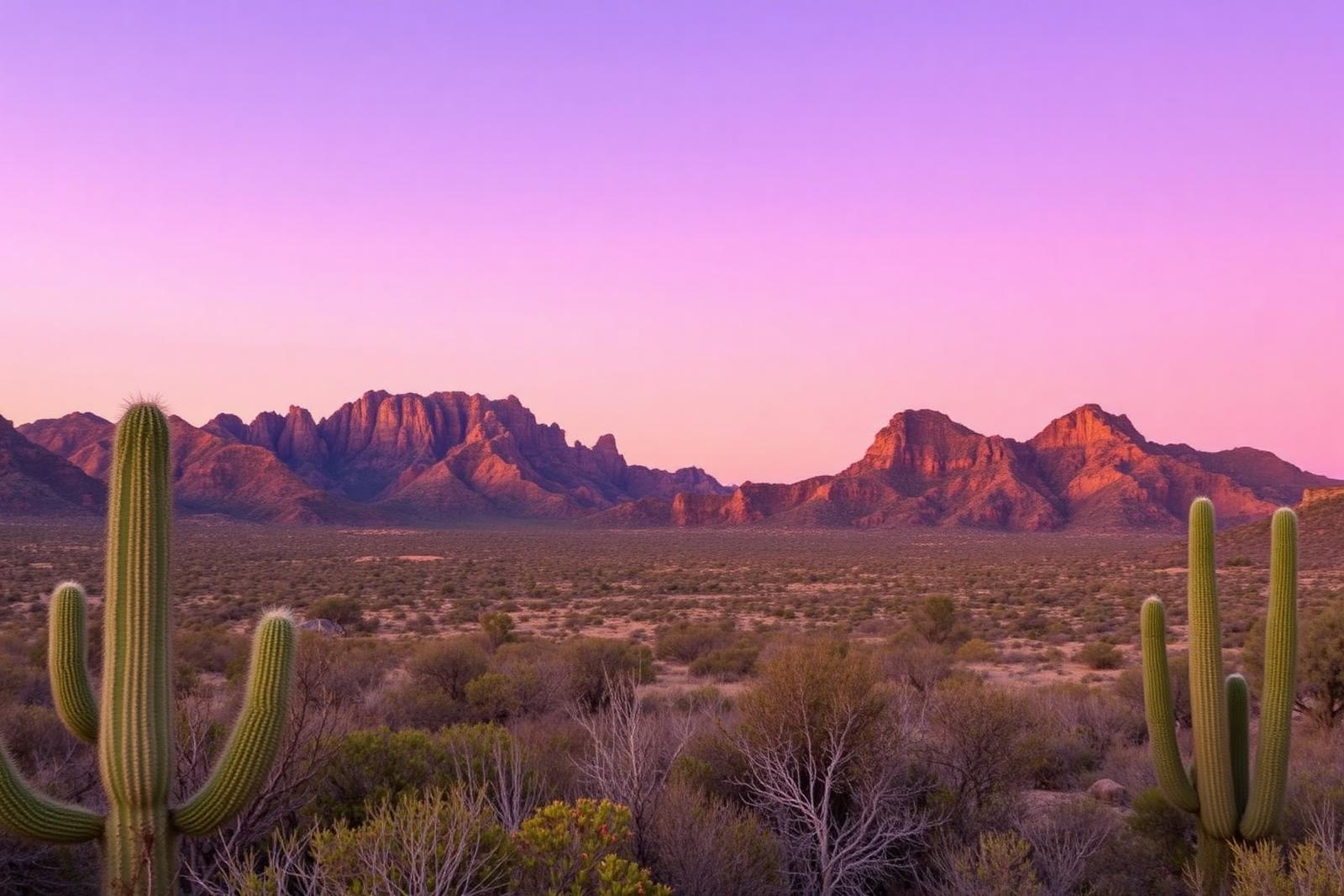
Culberson County: Van Horn, Guadalupe Peak and a West Texas Landscape Built on Distance
From the old railroad town of Van Horn to Texas' highest point, white gypsum dunes and the Guadalupe Mountains, Culberson County turns a remote stretch of Far West Texas into a story of trails, ranches, geology and persistence.
Published August 8, 2026 · 10 min read
Culberson County is easy to underestimate from the interstate. For many travelers, it is the long western stretch of Texas where Van Horn appears as a welcome cluster of gas stations, motels and restaurants before the road opens again into desert. But the county is far more than a place to stop between larger destinations.
Its northern edge contains Guadalupe Mountains National Park and Guadalupe Peak, the highest natural point in Texas. To the west lies the broad Salt Basin, where white gypsum dunes rise from a closed desert basin. Van Horn itself grew from the railroad, while older roads through the county carried Indigenous travelers, stagecoaches, soldiers, freighters and ranchers across one of the most demanding landscapes in the state.
First, understand the scale
Culberson County covers thousands of square miles but has very few residents. The 2020 Census counted 2,188 people, and the Census Bureau estimated 2,267 residents in 2025. Most live in and around Van Horn, the county seat and the community that functions as the county's commercial center.
That population spread changes the feel of the place. Services are concentrated, communities are small, and enormous distances separate the ranch roads, mountain ranges and desert basins. The emptiness is not a lack of story; it is one of the forces that shaped the story.
Long before highways, people followed water and passes
The Guadalupe Mountains preserve evidence of more than 10,000 years of human activity. Indigenous peoples moved through the mountains and desert long before modern county lines existed, using springs, passes and seasonal resources to navigate a region where reliable water could determine the route.
Mescalero Apache history is especially important in the Guadalupes. The mountains offered water, shelter and strategic high ground, and later became part of the violent contest over control of travel routes as the United States expanded its military presence across the Southwest.
The county therefore sits inside a much older map than the one printed with Texas county boundaries. Its geography made certain corridors useful again and again, even as the travelers and political powers changed.
The Butterfield route crossed a hard piece of country
In the late 1850s, the Butterfield Overland Mail carried passengers and mail between the eastern United States and California. One segment crossed what is now Culberson County, passing through the Guadalupe Mountains region on a route where water, grades and dependable stations mattered enormously.
The ruins of the Pinery Station inside Guadalupe Mountains National Park preserve one remnant of that stagecoach era. Travelers today can reach it on foot in minutes; nineteenth-century travelers encountered it as part of a multiweek continental journey.
The contrast is useful. Culberson County seems remote by modern standards, but it has long been on routes connecting distant places. Remoteness and transportation have always existed side by side here.
Van Horn began when the railroad arrived
The town of Van Horn developed after the Texas and Pacific Railway built through the area in 1881. The railroad transformed a landscape previously known mainly through wells, military travel and ranching into a permanent shipping and service point.
The name traces back to military associations with nearby Van Horn Wells. Historical accounts distinguish between Maj. Jefferson Van Horne, associated with the wells, and Lt. James Judson Van Horn, who commanded a small garrison there shortly before the Civil War. When the railroad town appeared decades later, the Van Horn name stayed.
Rail access made the community useful to ranchers moving cattle and receiving supplies. Stores, hotels and other services followed, and Van Horn gradually became the obvious center of government when Culberson County was organized in 1911.
A courthouse made the new county official
Culberson County was created from El Paso County and organized in 1911, with Van Horn selected as the county seat. For several years county business operated from existing commercial space while residents waited for a permanent courthouse.
The 1914 Culberson County Courthouse was built with locally quarried sandstone. Like many historic Texas courthouses, it was more than an office building: it became a public gathering place and a visible statement that a distant part of the state had its own civic center.
The county's creation also illustrates the logic behind Texas' famously dense county map. When travel was slow and roads were uncertain, having government physically closer to residents mattered far more than it does in an era of paved highways and online records.
Guadalupe Peak puts the roof of Texas here
Northern Culberson County contains the highest natural point in Texas. Guadalupe Peak rises to 8,751 feet above sea level, standing above a landscape that is geologically tied to an ancient marine reef.
The Guadalupe Mountains are the exposed portion of the Capitan Reef, formed more than 250 million years ago along the edge of a Permian-age sea. What looks like a dry mountain range in the Chihuahuan Desert therefore began as a marine ecosystem.
That geologic reversal is one of the county's best facts: the highest point in Texas is part of an ancient reef. Hiking to the summit is strenuous, but the route gives visitors a physical sense of how abruptly the mountains rise from the surrounding desert.
The national park protects more than scenery
Guadalupe Mountains National Park was established in 1972. The park protects mountain wilderness, desert, springs, historic ranch sites, stage-route remnants and cultural landscapes as well as the state's highest peak.
Frijole Ranch and Williams Ranch preserve pieces of the ranching and settlement history that followed earlier Indigenous use of the region. The Pinery Station ruins connect the park to the Butterfield Overland Mail. Together, those sites prevent the mountains from being interpreted as scenery without people.
The park is also one of the best places in Texas to experience elevation-driven ecological change. Desert plants dominate lower country, while cooler and wetter elevations support woodlands that can feel unexpectedly removed from the surrounding Chihuahuan Desert.
The Salt Basin looks almost impossible from the road
West of the Guadalupe Mountains, the Salt Basin forms a broad closed depression with no outlet to the sea. Water draining into the basin evaporates, leaving minerals behind. Over long periods, wind has reworked gypsum into brilliant white dunes.
The Salt Basin Dunes in Guadalupe Mountains National Park cover roughly 2,000 acres. Some dunes rise to about 60 feet, creating a bright landscape that can look more like a Gulf Coast beach or a snowfield than West Texas desert.
The basin exists because of faulting that dropped a block of the Earth's crust while surrounding ranges rose. It is the sort of geology that becomes easier to understand when seen at full landscape scale: mountains on one side, a lowered basin on the other, and pale mineral deposits marking the place where water disappears into evaporation.
Ranching made distance into a working landscape
Ranching became one of the county's enduring economic foundations after permanent settlement expanded in the late nineteenth century. Cattle operations used huge tracts because the dry climate required far more land per animal than wetter parts of Texas.
That land-use pattern still shapes what travelers see: fences running toward distant ridges, windmills and water infrastructure, ranch roads leaving the pavement, and very few houses across enormous views. The open country is not untouched wilderness; much of it is a working landscape.
Culberson County has also been a mining county
The mountains and basins contain more than dramatic scenery. Culberson County has produced or explored a long list of minerals, including gypsum, sulfur, barite, talc, copper and other materials. Oil production also became part of the twentieth-century economy.
Mining never turned Van Horn into a major industrial city, but it added another layer to the county's relationship with geology. The same complicated rock history that created cliffs, basins and mountain scenery also created mineral resources people tried to extract.
Van Horn became a highway town without losing the railroad underneath
Automobile travel changed Van Horn again during the twentieth century. Improved highways put the town on major east-west routes, and tourism grew because Van Horn offered services near Guadalupe Mountains National Park, Carlsbad Caverns, El Paso and the broader Big Bend region.
Interstate 10 eventually made Van Horn instantly recognizable to cross-country drivers. The modern traveler may encounter it through fuel prices, a motel sign or a lunch stop, but the reason a town exists there at all still reaches back to older transportation networks.
Van Horn's identity is therefore layered: well and military-road country, railroad town, county seat, ranching center and interstate stop. Each transportation era reused a place that had already proved strategically useful.
A few Culberson County facts worth remembering
- Culberson County was organized in 1911, with Van Horn chosen as the county seat.
- The 2020 Census counted 2,188 residents; the Census Bureau's 2025 estimate was 2,267.
- Guadalupe Peak, at 8,751 feet, is the highest natural point in Texas.
- The Guadalupe Mountains are part of the ancient Capitan Reef formed along a Permian-age sea more than 250 million years ago.
- Guadalupe Mountains National Park was established in 1972.
- The Salt Basin Dunes include roughly 2,000 acres of white gypsum dunes, some rising about 60 feet.
- The Butterfield Overland Mail crossed the region in the nineteenth century; ruins of the Pinery Station remain inside the national park.
- Van Horn grew after the Texas and Pacific Railway reached the area in 1881.
- The 1914 Culberson County Courthouse was built with locally quarried sandstone.
Why Culberson County rewards a second look
Culberson County is a good example of what the county-by-county project is supposed to reveal. A traveler can pass through in an hour or two and see little more than highway and desert. Look closer and the same county contains the highest point in Texas, an ancient reef, a national park, stagecoach history, railroad history, a classic courthouse town, gypsum dunes, ranching and mineral country.
It also links naturally to neighboring Jeff Davis County. Drive south and the Guadalupe landscape gives way toward the Davis Mountains, Fort Davis and McDonald Observatory. Keep going and the connected story continues through Presidio and Brewster counties into Marfa, the Rio Grande and Big Bend.
That is the larger lesson of Far West Texas: the distances separate communities, but the history does not stop at county lines. Trails became railroads, railroads were joined by highways, ranches spread across borders on maps, and mountain systems ignore political boundaries entirely.
Culberson County may be one of the least populated places many Texans ever drive through. It is also one of the clearest places to see how geology, transportation and sheer distance built the West Texas people know today.
Sources & verification
Research and official records
Research references support the editorial history and places described above. The official directories below help verify current county seats, census geography, property tax offices and vehicle services. Office personnel, contact details and links can change; check the agency website before traveling.
A claim-by-claim county-specific source list has not yet been published for this guide. The official starting points below are not a substitute for documented historical research.
Further county history research
Use the published county history as independent background reading, not as proof that every claim in this guide has been checked against that reference.
Local places to visit
More to explore in Culberson County
These additional local places complement the park, museum, beach and other destination guides on this county page. They are not ranked. For events, swimming, tours or restricted properties, always check current visitor information before traveling.
- Parks & recreation
Guadalupe Mountains National Park — Pine Springs
National park mountain hiking and camping based at the Pine Springs visitor hub in Culberson County; trail difficulty, fees and day-use rules vary.
Texas tournaments
Tournaments & competitions near Culberson County
Browse TexasDefined’s statewide tournament directory across golf, rodeo, team sports, fishing, BBQ, chess, esports, academic competitions and more. County relationships are published only when a location can be assigned confidently; current dates, venues and entry details require organizer verification.
Texas high school football
High school football in Culberson County
See current UIL football programs whose TEA school-directory records are in Culberson County. Use the statewide finder to compare a specific high school or ISD before choosing where to live.
Open the statewide football finder →Loading current UIL football programs…
What this tells you: current 2026–28 UIL classification, football division, district and six-man/11-man format. School, ISD, city and county context is attached only when Texas Education Agency AskTED produces an unambiguous campus match; uncertain matches are deliberately omitted.
All-time state-final history: title and appearance totals use UIL’s Football All-Time Appearances table, supplemented with newer completed state-final rows from the official State Archives when that all-time table trails the latest archive. Totals appear only on an exact normalized UIL school-name match.
Recent state-final detail: the game-level list covers the eight completed UIL championship seasons from 2018–19 through 2025–26. No history badge does not mean a weak program; it means the source did not produce an exact normalized school-name match.
This is not a “best school” rating. Football placement and recent championship history are only parts of researching a program. Attendance zones, transfers, eligibility and campus assignments can change, so confirm an exact address and student eligibility with the school district and UIL before making a move.