
County Guide
Hudspeth County
From an adobe courthouse and a historic railroad junction to salt flats, desert bighorn country and Rio Grande communities, Hudspeth County is a vast piece of Far West Texas where transportation, water and the border have always shaped the map.
- Guide type
- Texas county guide
- County seat
- Sierra Blanca, Texas
- Source check
- Official source checked
- Last reviewed
- August 4, 2026
Verified county profile
What the data says about Hudspeth County
The 2020 Census counted 3,202 residents across about 4,571 square miles of land. Dividing those two Census figures gives roughly 0.70 residents per square mile.
Census geography also records about 1 square miles of water. Water represents approximately 0.0% of the county's mapped land-and-water area.
Sierra Blanca is the verified county seat.
Texas Defined does not add an unsourced list of local communities. Additional places appear here only when the structured place directory contains a verified county relationship.
Understand the bigger picture
These Texas Explained guides add statewide context to the geography, settlement and infrastructure behind Hudspeth County.
Explore Texas Explained →Statewide context
Where Hudspeth County sits in the county data
These ranks use the same Texas State Library and U.S. Census county dataset as the statewide comparison. A rank is shown only when that metric is available for the county and the comparison set; missing source values are excluded rather than estimated.
- 2020 population
- #220
- of 254 counties with source data
- land area
- #3
- of 254 counties with source data
- population density
- #247
- of 254 counties with source data
- water share
- #235
- of 254 counties with source data
Property tax rates
Taxing units in Hudspeth County
Texas property taxes are imposed by separate local taxing units. The table below lists finalized statewide records associated with Hudspeth County. A district appearing here does not mean every property in the county pays that district; use the exact parcel record to determine jurisdiction.
Checking finalized local tax rates…
At a glance
The county in numbers
- County seat
- Sierra Blanca, Texas
- 2020 population
- 3,202
- Land area
- 4,571 sq. mi.
- Water area
- 1 sq. mi.
- Population density
- 0.70 / sq. mi.
- Water share
- 0.0%
County questions
Quick answers about Hudspeth County
What is the county seat of Hudspeth County?
Sierra Blanca, Texas is the county seat of Hudspeth County.
How many people live in Hudspeth County?
The 2020 U.S. Census counted 3,202 residents in Hudspeth County.
How densely populated is Hudspeth County?
Using the 2020 Census population and Census land-area figure, Hudspeth County has about 0.70 residents per square mile. This is a derived density figure, not a separate Census estimate.
What cities and communities are in Hudspeth County?
Hudspeth County includes communities such as Sierra Blanca. City limits, mailing addresses and county boundaries do not always match, so verify an exact address when county jurisdiction matters.
Where do I look up property taxes in Hudspeth County?
TexasDefined has not yet published a county-specific property-tax guide for Hudspeth County because its local source verification is still incomplete. Use the statewide county property-tax directory and the official local office links on this page while verification is pending.
How do I research industries and employers around Hudspeth County?
Start with the Texas industries hub to understand the statewide sector system, then use Made in Texas and local sources to verify which companies and facilities are actually tied to Hudspeth County. TexasDefined does not treat a statewide industry page as proof that a specific employer operates in this county.
How do I find official Hudspeth County government information?
Start with the official Hudspeth County website for county departments, services, courts and records. For property values, exemptions and protests use the appraisal district; for tax bills and payments use the office designated by the taxing unit. TexasDefined links to the statewide property-tax county directory until this county-specific tax guide passes source verification.
Property taxes
County property-tax resources
Property-tax questions in Hudspeth County involve several separate authorities. Until the county-specific tax guide passes source verification, use the statewide county property-tax directory plus the official appraisal and tax-office resources shown here.
Property & county services
Official local resources
Property appraisal
The Comptroller directory entry is undated or more than two years old. This guide does not display potentially outdated individual contact details. Follow the official county directory link to verify the current office.
Comptroller office listing updated 2024-05-09; confirm contact details with the district before visiting.
Tax office
Tax assessor-collector: Patricia Rose
Phone: 915-369-2331
109 Brown St. Sierra Blanca, Texas 79851
Comptroller office listing updated 2025-03-26; confirm vehicle and tax service details with the office before visiting.
County feature
The story of Hudspeth County
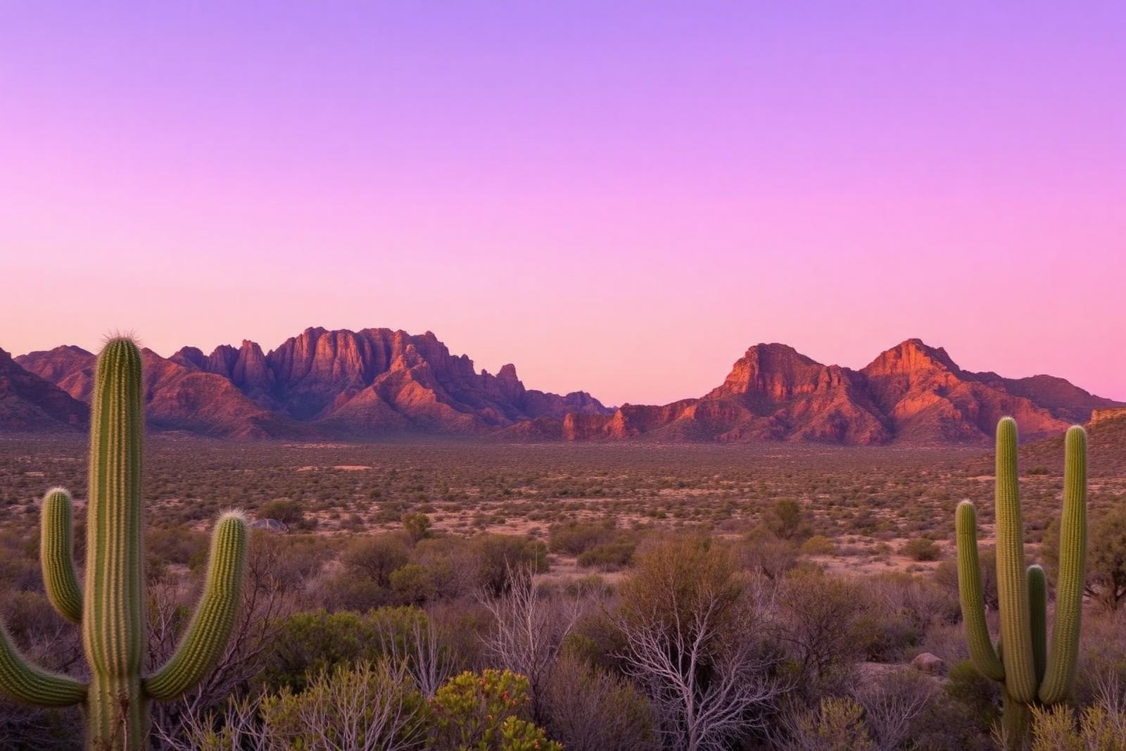
Hudspeth County: Sierra Blanca, Salt Flats and the Texas Borderlands Between Two Mountain Worlds
From an adobe courthouse and a historic railroad junction to salt flats, desert bighorn country and Rio Grande communities, Hudspeth County is a vast piece of Far West Texas where transportation, water and the border have always shaped the map.
Published August 8, 2026 · 10 min read
Hudspeth County is one of those places where a road map can hide more than it reveals. Interstate 10 crosses the southern half. Sierra Blanca sits beside the highway as the county seat. Fort Hancock and other Rio Grande communities stretch west toward El Paso, while Dell City lies far to the north near the Guadalupe Mountains. Between them are mountains, basins, ranches, irrigated fields and miles of Chihuahuan Desert.
The scale is enormous. The Census Bureau measures Hudspeth County at more than 4,570 square miles of land, yet the 2020 Census counted only 3,202 residents. That works out to well under one person per square mile. The result is a county where distance is not background scenery; it has influenced transportation, government, farming, ranching and almost every community that survived.
Sierra Blanca exists because two railroads met in the desert
Sierra Blanca owes its origin to one of the great railroad races of the nineteenth century. The Southern Pacific was building east while the Texas and Pacific Railway pushed west. Their crews approached each other in 1881, each company hoping to control the connection.
The companies finally compromised. On December 15, 1881, a silver spike joined the lines near Sierra Blanca, and transcontinental service began the following day. The meeting created the nation's second transcontinental rail connection and gave a permanent reason for a settlement to grow beside the tracks.
That transportation story still makes Sierra Blanca a useful way to understand Hudspeth County. Long before the interstate, the county was a corridor linking El Paso, Central Texas and points farther west. Modern highways largely follow the same logic: movement across a difficult landscape concentrates life around the routes that work.
The county itself is surprisingly young
Hudspeth County was organized in 1917 from eastern El Paso County. Lawmakers considered other names before settling on Hudspeth, honoring Claude Benton Hudspeth, an El Paso-area state senator who later served in Congress.
Sierra Blanca became the county seat. Its courthouse is especially unusual: the Handbook of Texas identifies it as the only Texas county courthouse built entirely of adobe. In a state famous for monumental stone courthouses, Hudspeth County's seat of government reflects the building traditions and materials of the desert borderlands instead.
The county's creation is another reminder of why Texas accumulated 254 counties. When travel was slow, dividing a huge territory could make local government substantially more reachable. Even today, a trip between communities in Hudspeth County can involve serious mileage.
The Salt Flats were valuable long before county lines existed
North and east of the county, near the Guadalupe Mountains, broad salt flats preserve the floor of an ancient basin. The National Park Service explains that a shallow lake once occupied this landscape. As the climate became drier after the last ice age, the water disappeared and left mineral deposits behind.
For Indigenous peoples and later Spanish, Mexican and Mexican American communities, that salt was not a curiosity. It preserved food, seasoned meals, helped tan hides and played an important role in processing silver ore. People from the El Paso Valley made long trips to collect it.
The salt beds also became the focus of the El Paso Salt War in the 1870s, when attempts to claim what local Mexican American communities had long treated as a shared resource produced political conflict and violence. The episode belongs to the larger history of Far West Texas because it shows how a change in legal systems after the U.S.-Mexico War could collide with older ideas about communal land and resources.
Water explains the communities along the Rio Grande
Southern Hudspeth County follows the international boundary with Chihuahua. Communities such as Fort Hancock, Acala and Esperanza grew in a landscape where the Rio Grande and irrigation made agriculture possible.
That river corridor is culturally and economically connected to a much broader borderlands region. Families, farms, livestock and trade existed across what became an international line, and the county's modern population remains strongly Hispanic and Latino.
The border is therefore not simply the county's southern edge. It is one of the forces that made Hudspeth County what it is.
Dell City proves that desert agriculture can look unexpected
Far north of Sierra Blanca, Dell City sits in an agricultural basin near the New Mexico line and the Guadalupe Mountains. Its existence can surprise travelers who assume the county is uniformly dry ranch country.
Farming expanded in parts of Hudspeth County during the twentieth century as wells and irrigation made cropland possible. The contrast is striking: irrigated fields can appear against a backdrop of pale desert, limestone ranges and enormous sky.
That agriculture has always depended on water management. In an arid county, groundwater is not an invisible convenience. It is a basic limit on what communities can grow and how much development the landscape can support.
The Sierra Diablo carries one of Texas' great wildlife comeback stories
Along the Hudspeth-Culberson county line rises the Sierra Diablo. Texas Parks and Wildlife acquired the Sierra Diablo Wildlife Management Area in 1945 as a sanctuary for the last remaining desert bighorn sheep in Texas.
The rugged mountain habitat became a foundation for decades of bighorn restoration work. The bighorn story changes the way the county's mountains look. They are not empty ridges between towns; they are habitat, research ground and part of a long attempt to restore a native animal that had nearly disappeared from Texas.
A few Hudspeth County facts worth remembering
- Hudspeth County was organized in 1917 from eastern El Paso County.
- Sierra Blanca is the county seat and grew after competing railroads joined nearby in December 1881.
- The Sierra Blanca rail junction helped complete the nation's second transcontinental railroad connection.
- The Handbook of Texas identifies the Hudspeth County Courthouse as the only Texas county courthouse built entirely of adobe.
- The 2020 Census counted 3,202 residents across more than 4,570 square miles of land.
- Historic salt flats near the Guadalupe Mountains supplied Indigenous, Spanish, Mexican and Mexican American communities and later became central to the El Paso Salt War.
- The Sierra Diablo Wildlife Management Area was acquired in 1945 to protect Texas' remaining desert bighorn sheep and remains important to restoration work.
- Fort Hancock and other communities along the Rio Grande reflect the county's agricultural and borderlands history, while Dell City anchors an irrigated farming area in the north.
Why Hudspeth County belongs in the Far West Texas story
Hudspeth County rewards anyone willing to look beyond the interstate. Its story is about a railroad junction becoming a county seat, an adobe courthouse standing where Texas civic architecture meets borderlands tradition, salt beds revealing older patterns of trade and land use, and communities surviving because they found workable relationships with water and distance.
It also completes another piece of the county-to-county map. To the east, Culberson County carries the story toward Van Horn, the Salt Basin and Guadalupe Peak. Southeast, Jeff Davis County continues through mountain ranch country toward Fort Davis and McDonald Observatory. West lies El Paso County and the state's largest border metropolis.
Those connections are the point. Hudspeth can look empty when measured by population density, but the county sits at the intersection of railroads, highways, a river, an international border, mountain systems, migration routes and centuries of human movement. Few places make a better argument that 'empty West Texas' is usually a failure to look closely enough.
Sources & verification
Research and official records
Research references support the editorial history and places described above. The official directories below help verify current county seats, census geography, property tax offices and vehicle services. Office personnel, contact details and links can change; check the agency website before traveling.
A claim-by-claim county-specific source list has not yet been published for this guide. The official starting points below are not a substitute for documented historical research.
Further county history research
Use the published county history as independent background reading, not as proof that every claim in this guide has been checked against that reference.
Texas tournaments
Tournaments & competitions near Hudspeth County
Browse TexasDefined’s statewide tournament directory across golf, rodeo, team sports, fishing, BBQ, chess, esports, academic competitions and more. County relationships are published only when a location can be assigned confidently; current dates, venues and entry details require organizer verification.
Texas high school football
High school football in Hudspeth County
See current UIL football programs whose TEA school-directory records are in Hudspeth County. Use the statewide finder to compare a specific high school or ISD before choosing where to live.
Open the statewide football finder →Loading current UIL football programs…
What this tells you: current 2026–28 UIL classification, football division, district and six-man/11-man format. School, ISD, city and county context is attached only when Texas Education Agency AskTED produces an unambiguous campus match; uncertain matches are deliberately omitted.
All-time state-final history: title and appearance totals use UIL’s Football All-Time Appearances table, supplemented with newer completed state-final rows from the official State Archives when that all-time table trails the latest archive. Totals appear only on an exact normalized UIL school-name match.
Recent state-final detail: the game-level list covers the eight completed UIL championship seasons from 2018–19 through 2025–26. No history badge does not mean a weak program; it means the source did not produce an exact normalized school-name match.
This is not a “best school” rating. Football placement and recent championship history are only parts of researching a program. Attendance zones, transfers, eligibility and campus assignments can change, so confirm an exact address and student eligibility with the school district and UIL before making a move.
Researched local football programs
Football history connected to Hudspeth County
- Dell City football authority guide →
Dell City ISD contact campus 110 N Main in Hudspeth County; current varsity football fixture not independently confirmed
Independent editorial guides. Game sites and district boundaries may span county lines; each listed school is linked by its campus county.