Skip to content

Central Texas · State parks

State Parks Near Austin, Texas

Texas state parks ordered by geographic proximity, with each park linked to its full TexasDefined visitor guide.

Source-backed options23

Distance windowUp to 150 straight-line miles

OrderingGeographic distance

Straight-line distances are screening estimates from central Austin. They are not road miles or drive-time promises. Use the “Check current drive” links in the map and guide sections below for current Google Maps routing, road mileage and travel-time estimates.

Map & routes

Find it on the map and compare routes

Close to the metro

2 full TexasDefined guides in this geographic band

About 29 geographic miles

Lockhart

Lockhart · Caldwell County

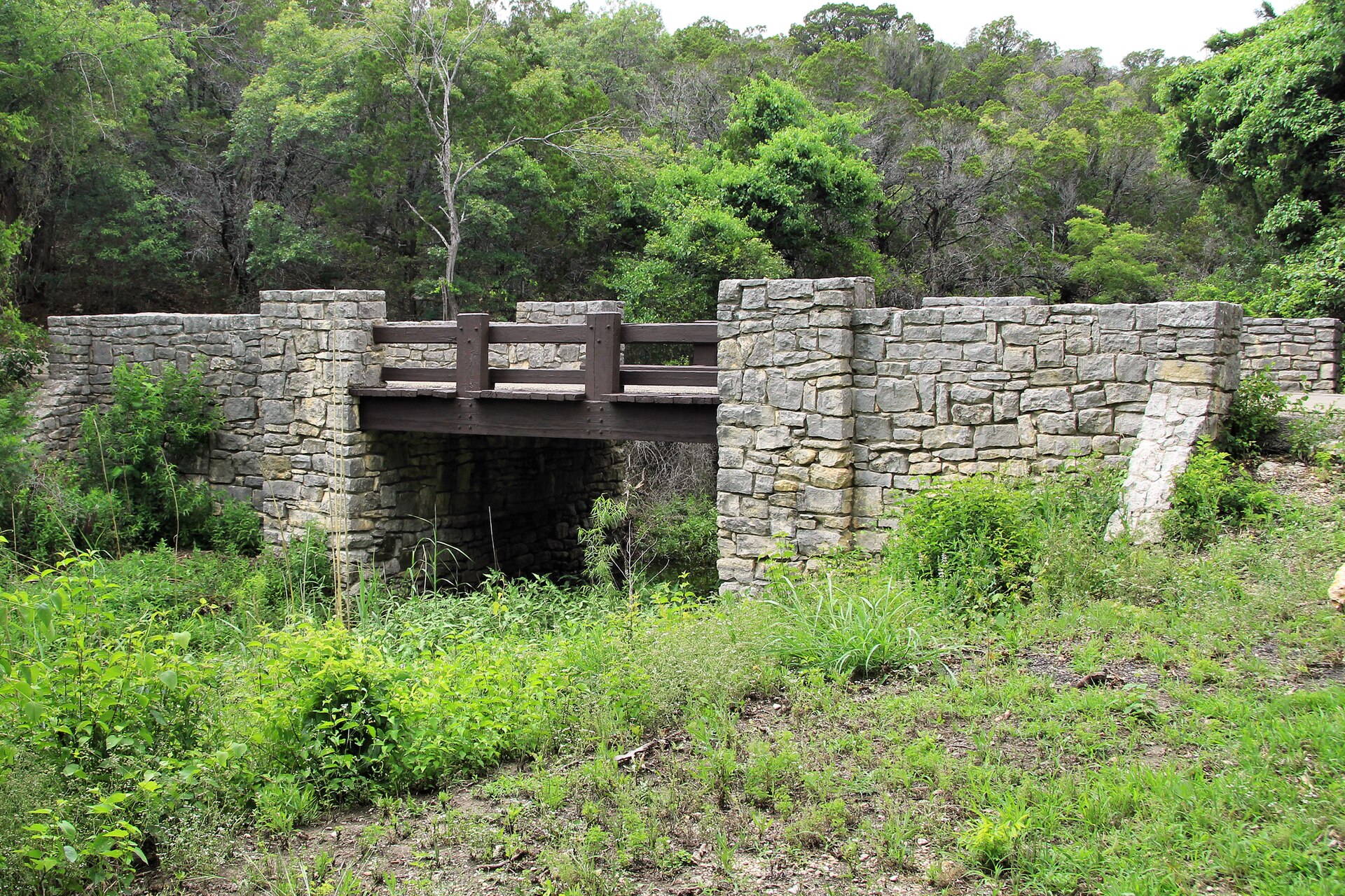
Lockhart State Park

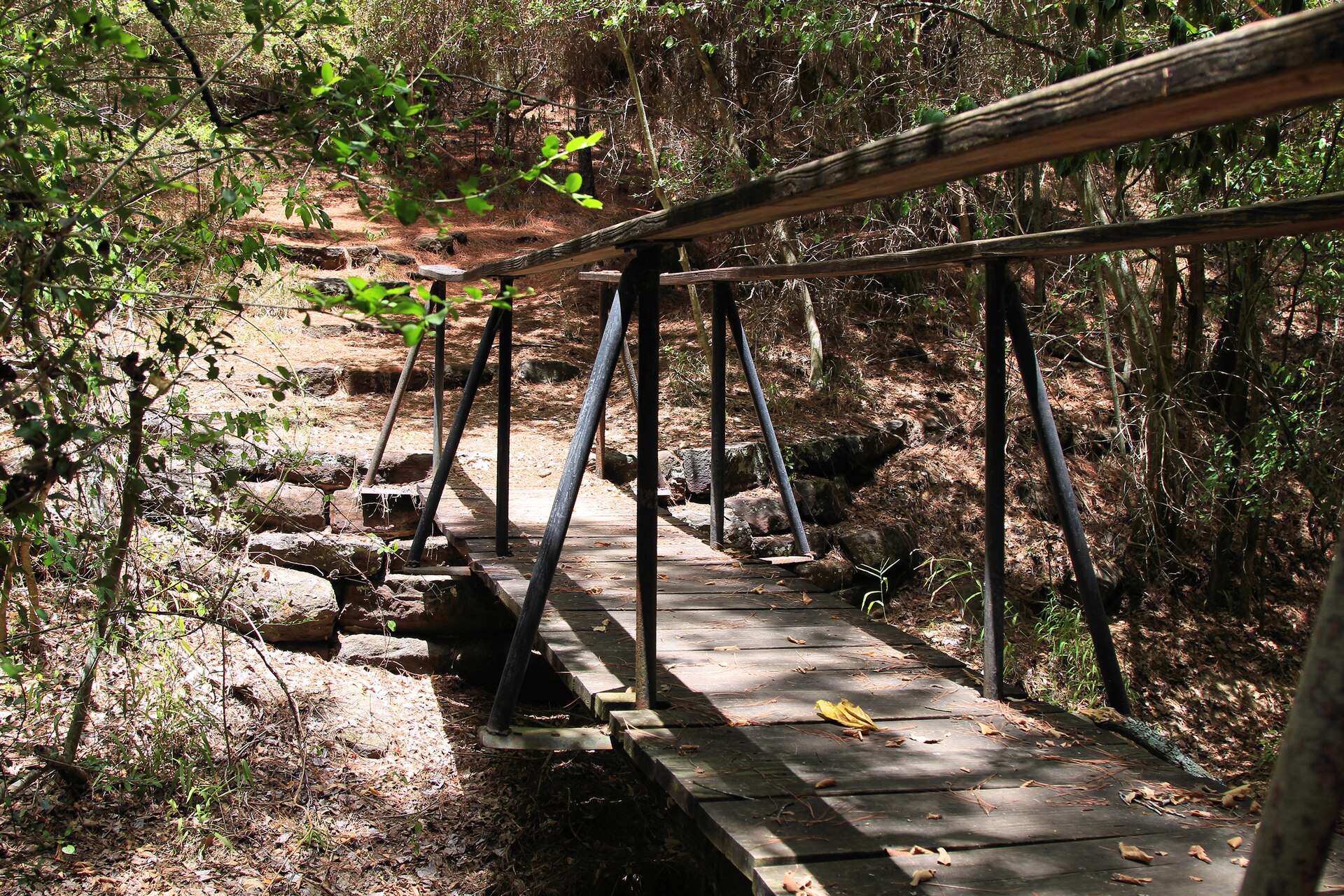
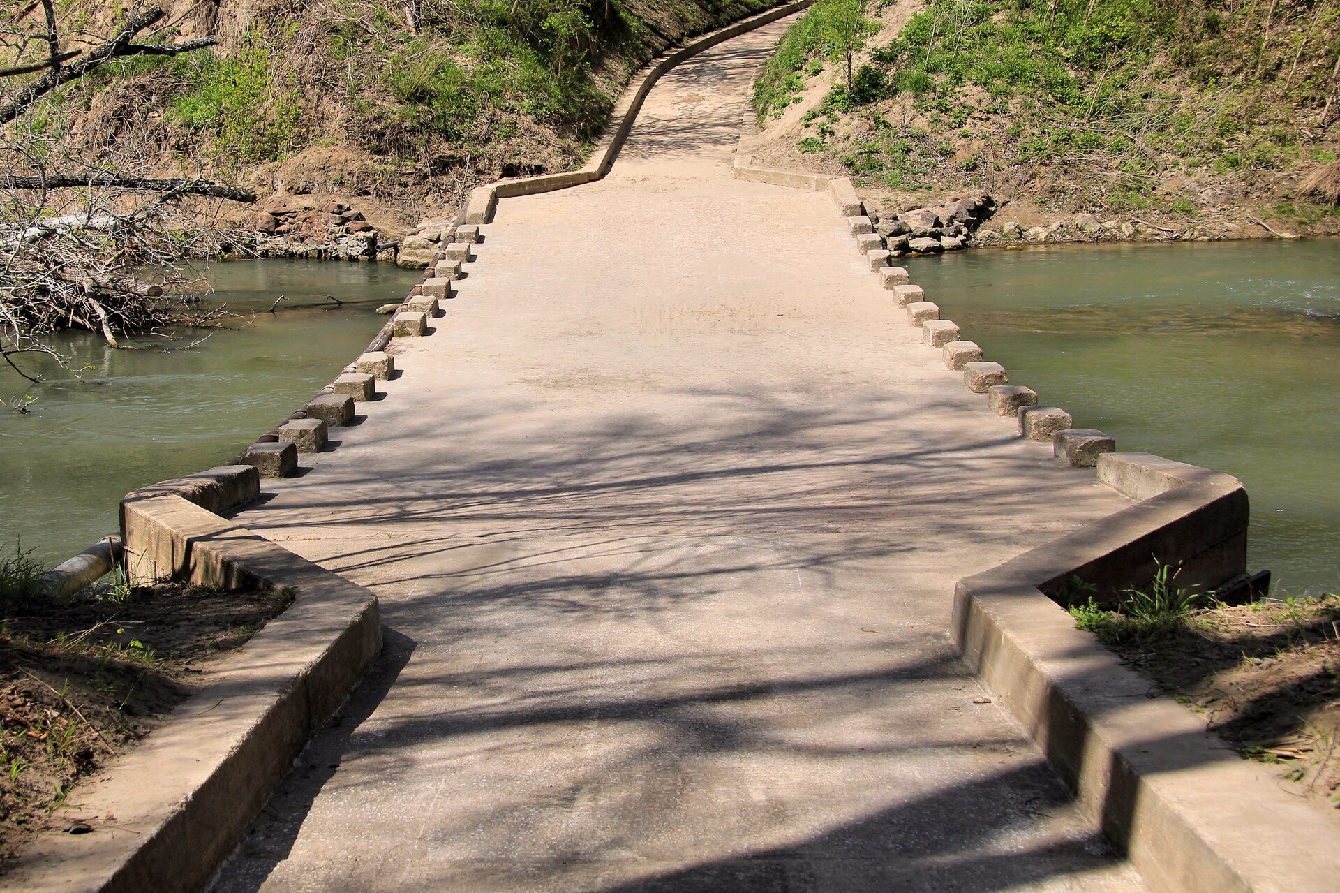
A small Central Texas state park beside Clear Fork Creek, notable for wooded trails, a historic CCC-built recreation landscape and the only golf course in the Texas State Park system.

Best season: Fall through spring for hiking and golf; summer visits are best early or late in the day
  • Historic nine-hole state-park golf course
  • Civilian Conservation Corps structures
  • Short wooded and creekside trails
Explore this place
Check current drive from Austin ↗

About 29 geographic miles

Bastrop

Bastrop · Bastrop County

Bastrop State Park

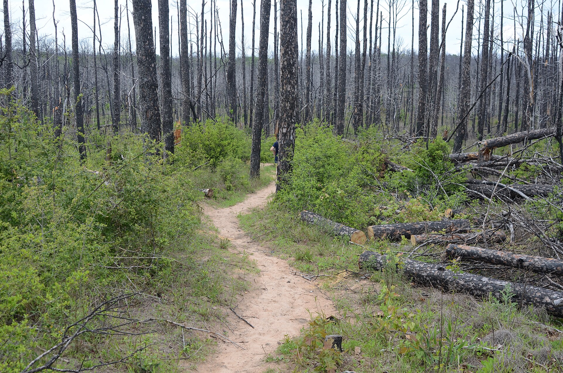
A historic Lost Pines park east of Austin where CCC stonework, loblolly pine forest and an evolving wildfire-recovery landscape frame hiking, camping and a scenic connection to Buescher State Park.

Best season: Fall through spring for hiking and campingUpdated Oct 2026
  • Lost Pines loblolly forest
  • CCC-built cabins and stone architecture
  • Hiking through a visible wildfire-recovery landscape
Explore this place
Check current drive from Austin ↗

Easy day-trip range

8 full TexasDefined guides in this geographic band

About 38 geographic miles

Smithville

Smithville · Bastrop County

Buescher State Park

A wooded park near Smithville connected to Bastrop State Park by a scenic road, with a small lake, CCC history and trails through recovering Lost Pines habitat.

Best season: Fall through spring for hiking and cycling; warm months work well for paddling and fishingUpdated Oct 2026
  • 30-acre Buescher park lake with reduced access due to low water
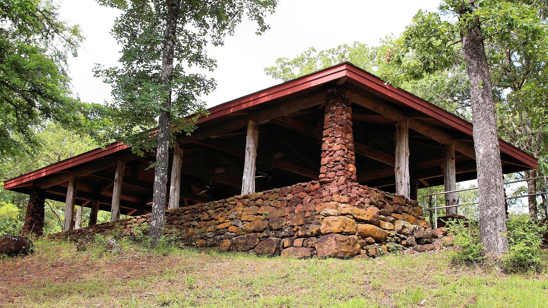
  • CCC-built cabins and historic group picnic shelter
  • Wooded hiking and cycling near neighboring Bastrop State Park
Explore this place
Check current drive from Austin ↗

About 48 geographic miles

Gonzales

Gonzales · Gonzales County

Palmetto State Park

A small, lush park near Gonzales where dwarf palmettos, swampy lowlands, the San Marcos River and a CCC-built landscape create scenery that feels unexpectedly subtropical for Central Texas.

Best season: Fall through spring for hiking; warm months for paddling with humidity precautions
  • Dwarf palmetto groves
  • San Marcos River paddling and fishing
  • CCC-built structures
Explore this place
Check current drive from Austin ↗

About 49 geographic miles

Burnet

Burnet · Burnet County

Inks Lake State Park

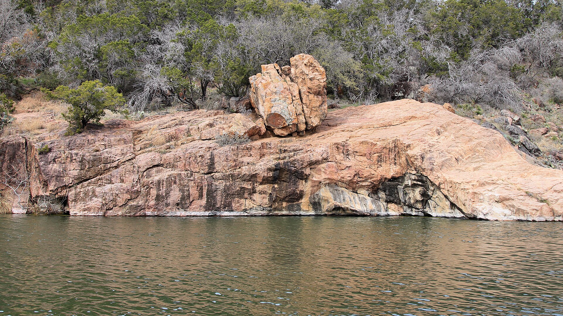
A constant-level Highland Lakes park northwest of Austin with pink granite outcrops, more than 12 miles of trails and the popular Devil’s Waterhole swimming and paddling area.

Best season: Spring through fall for water activities; cooler months are excellent for hiking and campingUpdated Oct 2026
  • Inks Lake swimming, paddling and shoreline recreation
  • Devils Waterhole and mapped Hill Country hiking
  • Developed campsites with distinct electrical and vehicle restrictions
Explore this place
Check current drive from Austin ↗

About 56 geographic miles

Spring Branch

Spring Branch · Comal County

Honey Creek State Natural Area

Honey Creek State Natural Area now offers reserved public hiking on oak-savanna trails, including an accessible route, while the spring-fed creek itself remains protected by guided-tour access.

Best season: Fall through spring for cooler walking temperatures, with early-day summer visits best for shade-limited grassland trails.Updated Oct 2026
  • New public-use trailhead off Park Road 31 opened August 2026
  • Accessible 0.7-mile Box Turtle Trail through oak savanna
  • Moderate 1.7-mile Roadrunner Trail and additional mapped paths
Explore this place
Check current drive from Austin ↗

About 66 geographic miles

Somerville

Somerville · Burleson County

Lake Somerville State Park & Trailway

Compare Lake Somerville's Birch Creek and Nails Creek camping, swimming, boat launches, equestrian access and the 13-mile connecting Trailway, with unit-specific parking, maps and water services.

Best season: Spring and fall for camping, trailway riding, and birding; TPWD lists the first weekend of March through July 4 as the busiest season.Updated Oct 2026
  • Birch Creek Unit on north shore — 14222 Park Road 57, Somerville
  • Nails Creek Unit on southwest shore — 6280 FM 180, Ledbetter
  • 13.11-mile multiuse Trailway between the two units
Explore this place
Check current drive from Austin ↗

About 66 geographic miles

Fredericksburg

Fredericksburg · Gillespie County

Enchanted Rock State Natural Area

A massive pink-granite dome north of Fredericksburg with nearly 21 miles of hiking, a famous summit climb, rock climbing, stargazing and a newly opened backcountry trail system.

Best season: Fall through spring for cooler hiking; summer heat and exposed granite can be intense
  • Summit Trail to broad Hill Country views from the granite dome
  • Nearly 21 miles of hiking trails, including new backcountry routes
  • Rock climbing and bouldering with required check-in at headquarters
Explore this place
Check current drive from Austin ↗

About 67 geographic miles

Bend

Bend · San Saba County

Colorado Bend State Park

A rugged Colorado River park northwest of Austin with 70-foot Gorman Falls, spring-fed pools, cave tours and more than 35 miles of hike-and-bike trails through limestone canyon country.

Best season: Fall through spring for hiking; spring flow and recent rainfall can affect waterfalls and poolsUpdated Oct 2026
  • Gorman Falls: protected fragile travertine, no swimming or climbing
  • Spicewood Springs: separate designated swimming area
  • Backcountry and riverside campground equipment limits
Explore this place
Check current drive from Austin ↗

About 75 geographic miles

Moody

Moody · Coryell County

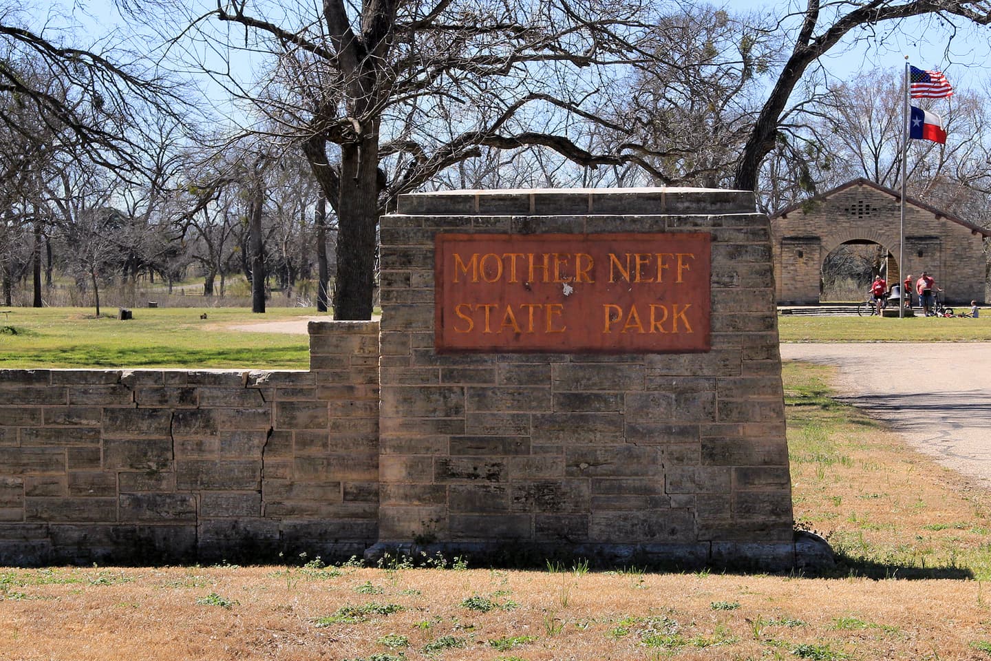
Mother Neff State Park

Texas' first state park, a compact Central Texas landscape of prairie, limestone bluffs, wooded creek bottoms and a historic Civilian Conservation Corps legacy near the Leon River.

Best season: Fall through spring for comfortable hiking and prairie walks
  • Texas' first state park
  • CCC-built structures and historic park landscape
  • Prairie and limestone bluff trails
Explore this place
Check current drive from Austin ↗

Longer day trip

13 full TexasDefined guides in this geographic band

About 97 geographic miles

Bandera

Bandera · Bandera County

Hill Country State Natural Area

A rugged backcountry natural area southwest of Bandera with 40 miles of hiking and equestrian routes, primitive creekside and remote camping, and hillside overlooks that require careful trail-and-water planning.

Best season: Spring and fall are typically most comfortable for walking, riding and primitive camping; the open Hill Country landscape can be exposed to summer heat.Updated Oct 2026
  • 40 miles of multiuse trails on rugged former ranchland
  • West Verde Creek and Comanche Bluff walk-in campsites with nearby toilets
  • Butterfly Springs, Hermit's Shack and Wilderness hike-in camps without water
Explore this place
Check current drive from Austin ↗

About 103 geographic miles

San Felipe

San Felipe · Austin County

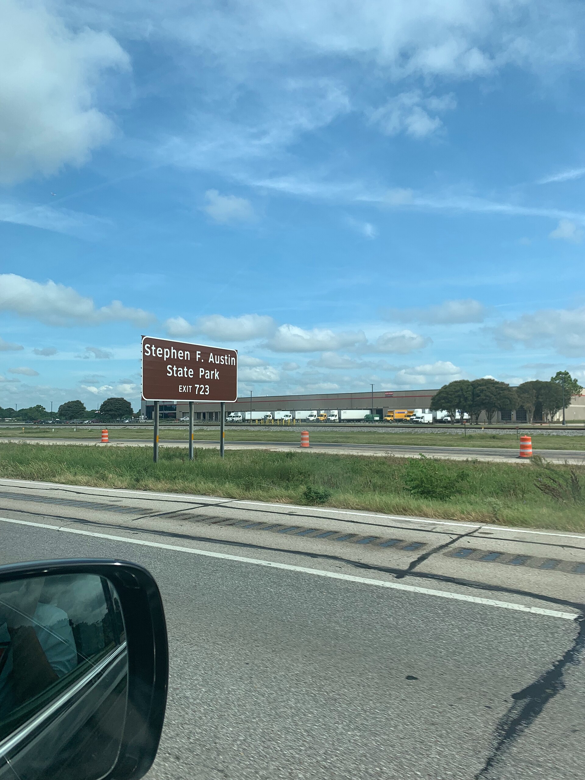
Stephen F. Austin State Park

A Brazos River bottomland park west of Houston with shaded trails, camping, wildlife and a direct historical connection to Stephen F. Austin’s nearby colonial headquarters at San Felipe de Austin.

Best season: Fall through spring for comfortable hiking and camping
  • Shaded Brazos River bottomland forest
  • Easy hiking and biking trails with frequent wildlife sightings
  • Camping and cabins convenient to the Houston area
Explore this place
Check current drive from Austin ↗

About 112 geographic miles

Meridian

Meridian · Bosque County

Meridian State Park

A small limestone-and-cedar park northwest of Waco centered on a spring-fed lake built by the Civilian Conservation Corps, with trails, fishing, paddling and historic stonework.

Best season: Fall through spring for hiking; warm months add swimming and paddling
  • Spring-fed Lake Meridian
  • CCC-built stone structures
  • Bosque County limestone and cedar trails
Explore this place
Check current drive from Austin ↗

About 117 geographic miles

Mexia

Mexia · Limestone County

Fort Parker State Park

A CCC-built Limestone County state park on Fort Parker Lake and the Navasota River, where fishing and camping require special attention to low-water ramp warnings, closed fishing piers and 2026–27 park construction.

Best season: Spring and fall for wooded trails and permitted campsite stays; paddling and fishing require current lake and river conditionsUpdated Oct 2026
  • 750-acre Fort Parker Lake, paddling and Navasota River landscape
  • Both park fishing piers currently closed
  • CCC history and group barracks campus with distinct booking rules
Explore this place
Check current drive from Austin ↗

About 117 geographic miles

Whitney

Whitney · Hill County

Lake Whitney State Park

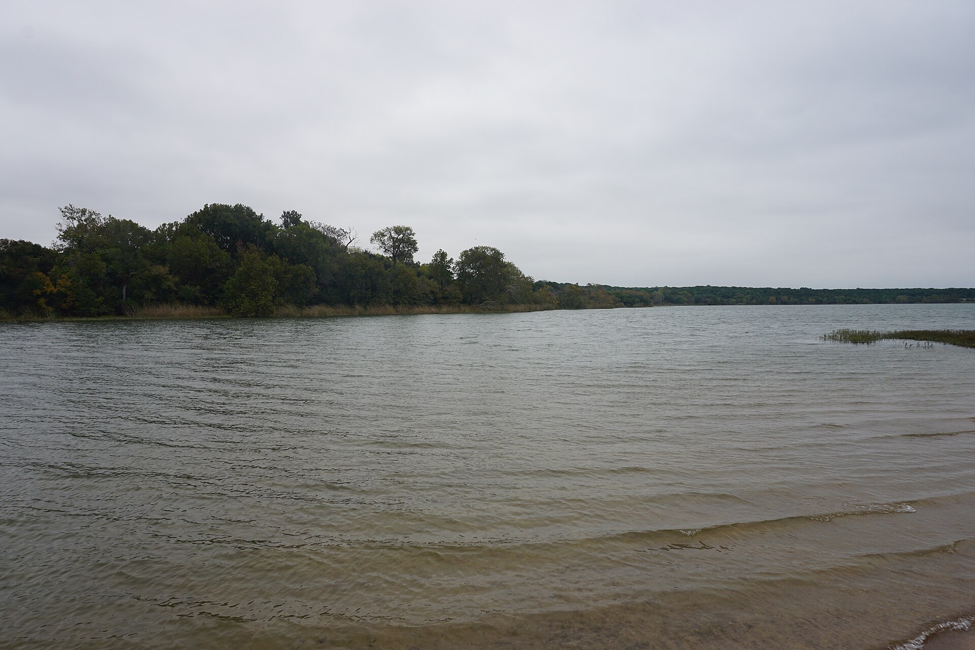
A limestone-shore reservoir park north of Waco with clear-water swimming, fishing, boating, camping and broad Lake Whitney views along the Brazos River system.

Best season: Spring through fall for water recreation; cooler months for camping and fishing
  • Lake Whitney swimming
  • Fishing and boating
  • Limestone shoreline
Explore this place
Check current drive from Austin ↗

About 123 geographic miles

Centerville

Centerville · Leon County

Fort Boggy State Park

A small East-Central Texas park near Centerville with a spring-fed lake, wooded trails, fishing, paddling and quiet cabins suited to a low-key family escape.

Best season: Fall through spring for trails; warm months for lake recreationUpdated Oct 2026
  • Spring-fed lake
  • Fishing and paddling
  • Wooded hiking trails
Explore this place
Check current drive from Austin ↗

About 129 geographic miles

Concan

Concan · Uvalde County

Garner State Park

A Hill Country favorite on the Frio River, where limestone hills, cypress-lined water, Old Baldy and the park’s long-running summer dances make the destination as social as it is scenic.

Best season: Late spring through early fall for river time; fall and winter are quieter for hiking
  • Frio River swimming, tubing and paddling beneath bald cypress trees
  • Old Baldy and Hill Country overlooks above the river valley
  • Summer evening dances, a Garner tradition dating back generations
Explore this place
Check current drive from Austin ↗

About 130 geographic miles

Three Rivers

Three Rivers · McMullen County

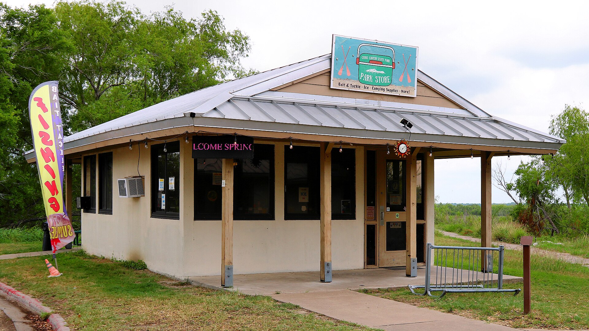
Choke Canyon State Park

A South Texas reservoir state park with two separate public units: full-service Calliham for camping and broader park facilities, and day-use South Shore for boating, fishing and birding.

Best season: Fall through spring for birding, camping and comfortable shore time; fishing remains popular year-roundUpdated Sep 2026
  • Calliham Unit camping, cabins and recreation
  • South Shore day-use fishing, boating and birding
  • Choke Canyon Reservoir fishing
Explore this place
Check current drive from Austin ↗

About 134 geographic miles

Brownwood

Brownwood · Brown County

Lake Brownwood State Park

A historic CCC park on Lake Brownwood with stone architecture, wooded shoreline, fishing, paddling and cabins that preserve the feel of early Texas state-park recreation.

Best season: Fall through spring for camping and trails; summer for lake activitiesUpdated Oct 2026
  • Historic Civilian Conservation Corps architecture
  • Nearly six miles of hiking with 2.9-mile Nopales Ridge bike route
  • 7,300-acre Lake Brownwood fishing, swimming and boating
Explore this place
Check current drive from Austin ↗

About 134 geographic miles

Huntsville

Huntsville · Walker County

Huntsville State Park

A Piney Woods park north of Houston centered on Lake Raven, with fishing, paddling, swimming, forest trails and camping beneath tall East Texas pines.

Best season: Fall through spring for trails and camping; summer for lake recreationUpdated Oct 2026
  • Lake Raven
  • Pine forest trails
  • Fishing and paddling
Explore this place
Check current drive from Austin ↗

About 137 geographic miles

Glen Rose

Glen Rose · Somervell County

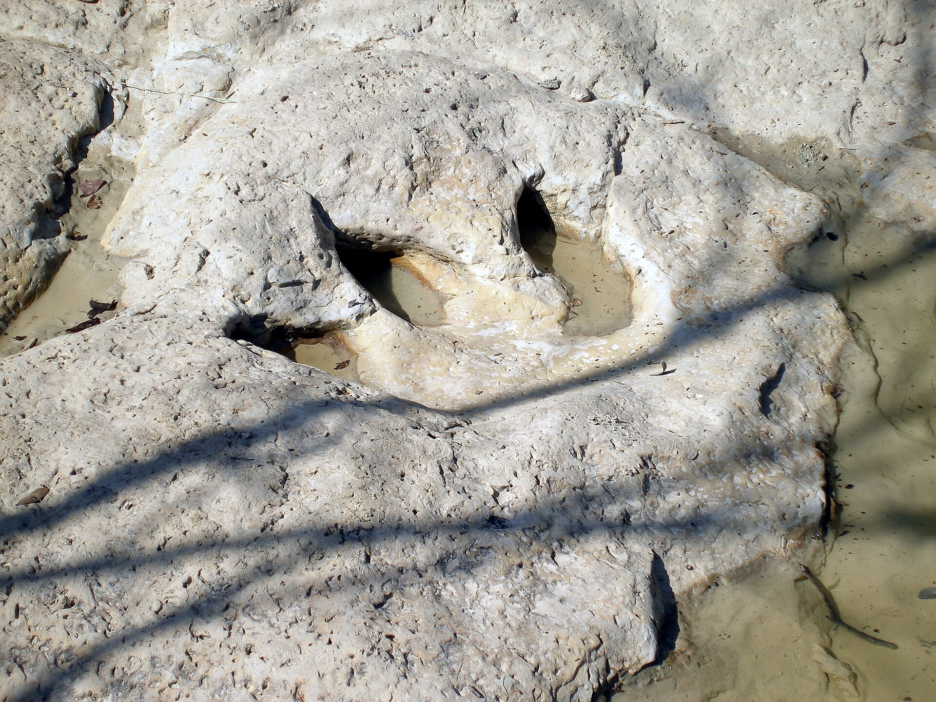
Dinosaur Valley State Park

A Paluxy River park near Glen Rose where 113-million-year-old dinosaur tracks appear in the limestone riverbed, backed by more than 20 miles of trails through rugged North Texas terrain.

Best season: Spring and fall for hiking; track visibility depends on Paluxy River levelsUpdated Oct 2026
  • Main Track Site and Ballroom Track Site in the Paluxy River bed
  • Tracks from sauropods and Acrocanthosaurus preserved in limestone
  • More than 20 miles of hiking and biking trails
Explore this place
Check current drive from Austin ↗

About 138 geographic miles

Cleburne

Cleburne · Johnson County

Cleburne State Park

A compact limestone park southwest of Fort Worth centered on spring-fed Cedar Lake, with CCC stonework, wooded trails, fishing, paddling and camping.

Best season: Fall through spring for trails; warm months for lake recreation
  • Spring-fed Cedar Lake
  • CCC stone structures
  • Hiking and mountain biking
Explore this place
Check current drive from Austin ↗

About 141 geographic miles

Needville

Needville · Fort Bend County

Brazos Bend State Park

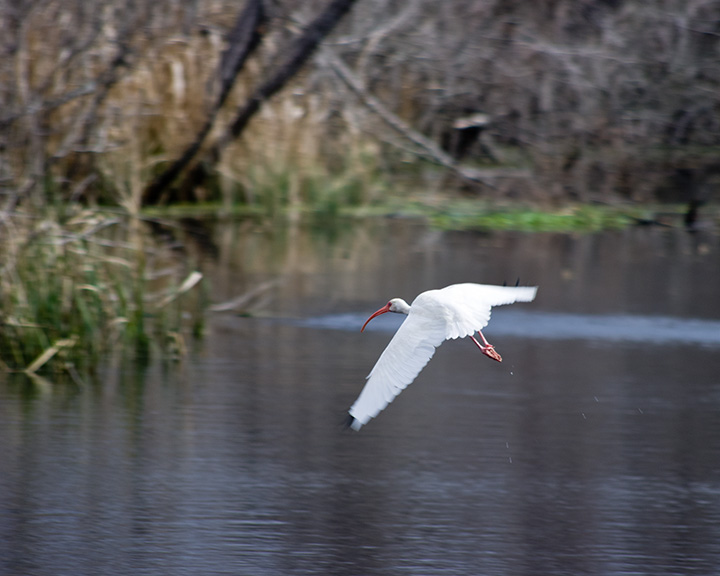
Wetlands, coastal prairie and bottomland forest southwest of Houston, best known for close-but-safe alligator viewing, prolific birdlife and miles of flat trails around Elm and 40-Acre lakes.

Best season: Fall through spring for cooler trail weather; wildlife viewing is good year-roundUpdated Oct 2026
  • Elm Lake and 40-Acre Lake loops for alligators, wading birds and wetland views
  • George Observatory, operated by the Houston Museum of Natural Science
  • Restored coastal prairie and shaded bottomland forest trails
Explore this place
Check current drive from Austin ↗

Before you go

Use geography as a shortlist, then check the real route.

TexasDefined uses location data to make the statewide catalog easier to search. Open the current driving route for the places you are considering, then verify opening hours, reservations, park alerts, water conditions and weather with the current official source.