Skip to content

Coastal Bend · State parks

State Parks Near Corpus Christi, Texas

Texas state parks ordered by geographic proximity, with each park linked to its full TexasDefined visitor guide.

Source-backed options9

Distance windowUp to 150 straight-line miles

OrderingGeographic distance

Straight-line distances are screening estimates from central Corpus Christi. They are not road miles or drive-time promises. Use the “Check current drive” links in the map and guide sections below for current Google Maps routing, road mileage and travel-time estimates.

Map & routes

Find it on the map and compare routes

Close to the metro

1 full TexasDefined guide in this geographic band

About 34 geographic miles

Mathis

Mathis · San Patricio County

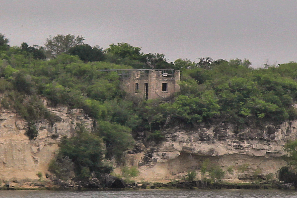
Lake Corpus Christi State Park

A South Texas reservoir park near Mathis with fishing, boating, swimming and a landmark CCC-built stone pavilion overlooking Lake Corpus Christi.

Best season: Fall through spring for camping and fishing; summer for water recreation with heat precautions
  • CCC-built stone pavilion
  • Lake Corpus Christi fishing
  • Boating and paddling
Explore this place
Check current drive from Corpus Christi ↗

Easy day-trip range

1 full TexasDefined guide in this geographic band

About 74 geographic miles

Three Rivers

Three Rivers · McMullen County

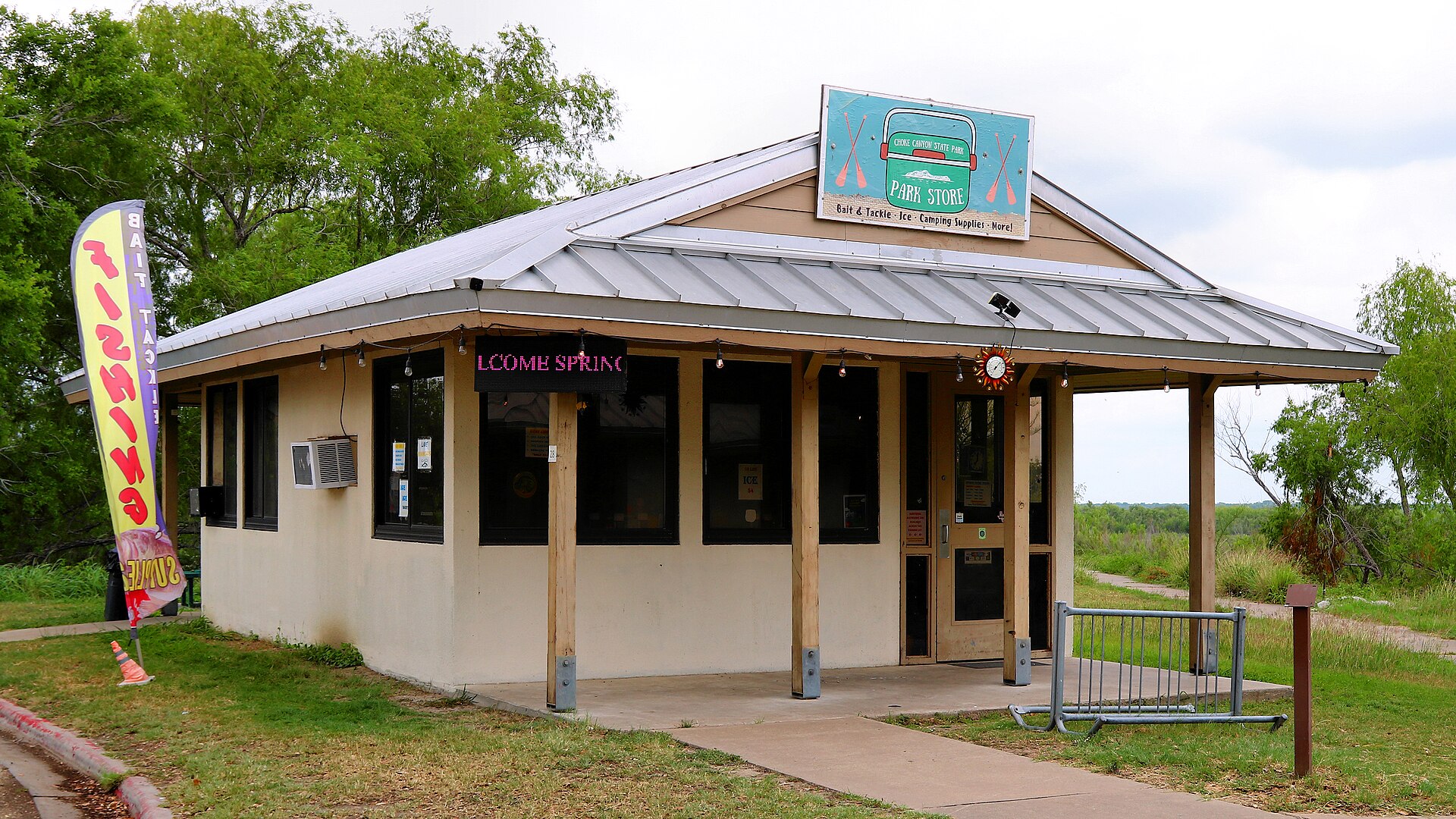
Choke Canyon State Park

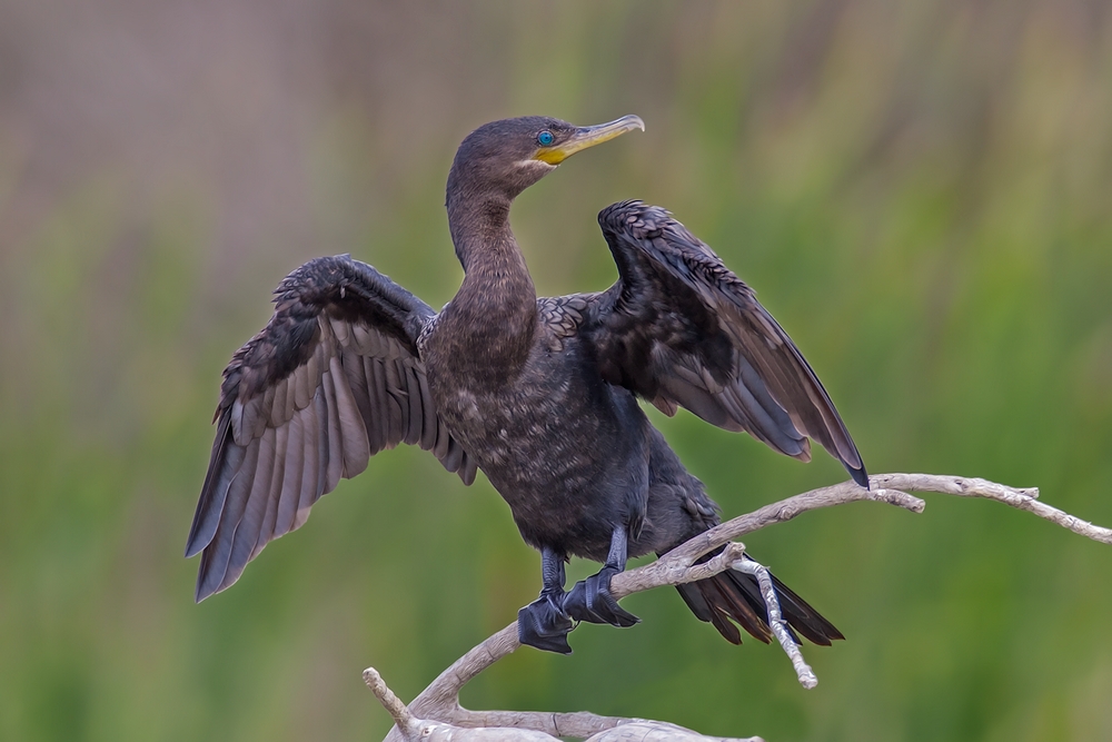
A South Texas reservoir state park with two separate public units: full-service Calliham for camping and broader park facilities, and day-use South Shore for boating, fishing and birding.

Best season: Fall through spring for birding, camping and comfortable shore time; fishing remains popular year-roundUpdated Sep 2026
  • Calliham Unit camping, cabins and recreation
  • South Shore day-use fishing, boating and birding
  • Choke Canyon Reservoir fishing
Explore this place
Check current drive from Corpus Christi ↗

Longer day trip

7 full TexasDefined guides in this geographic band

About 121 geographic miles

Weslaco

Weslaco · Hidalgo County

Estero Llano Grande State Park

A Rio Grande Valley birding and wildlife sanctuary near Weslaco with accessible wetland viewing decks, trail loops, Indigo Nature Blind, all-terrain wheelchairs and alligator habitat.

Best season: Winter migration and cooler months reward birders; spring can bring migrating birds and butterflies, while summer afternoons are hot and humid.Updated Oct 2026
  • World Birding Center wetland, woodland and tropical-zone habitats
  • More than five miles of trails and accessible viewing decks
  • Green Jay and Spoonbill accessible trail options with weather caveats
Explore this place
Check current drive from Corpus Christi ↗

About 124 geographic miles

Gonzales

Gonzales · Gonzales County

Palmetto State Park

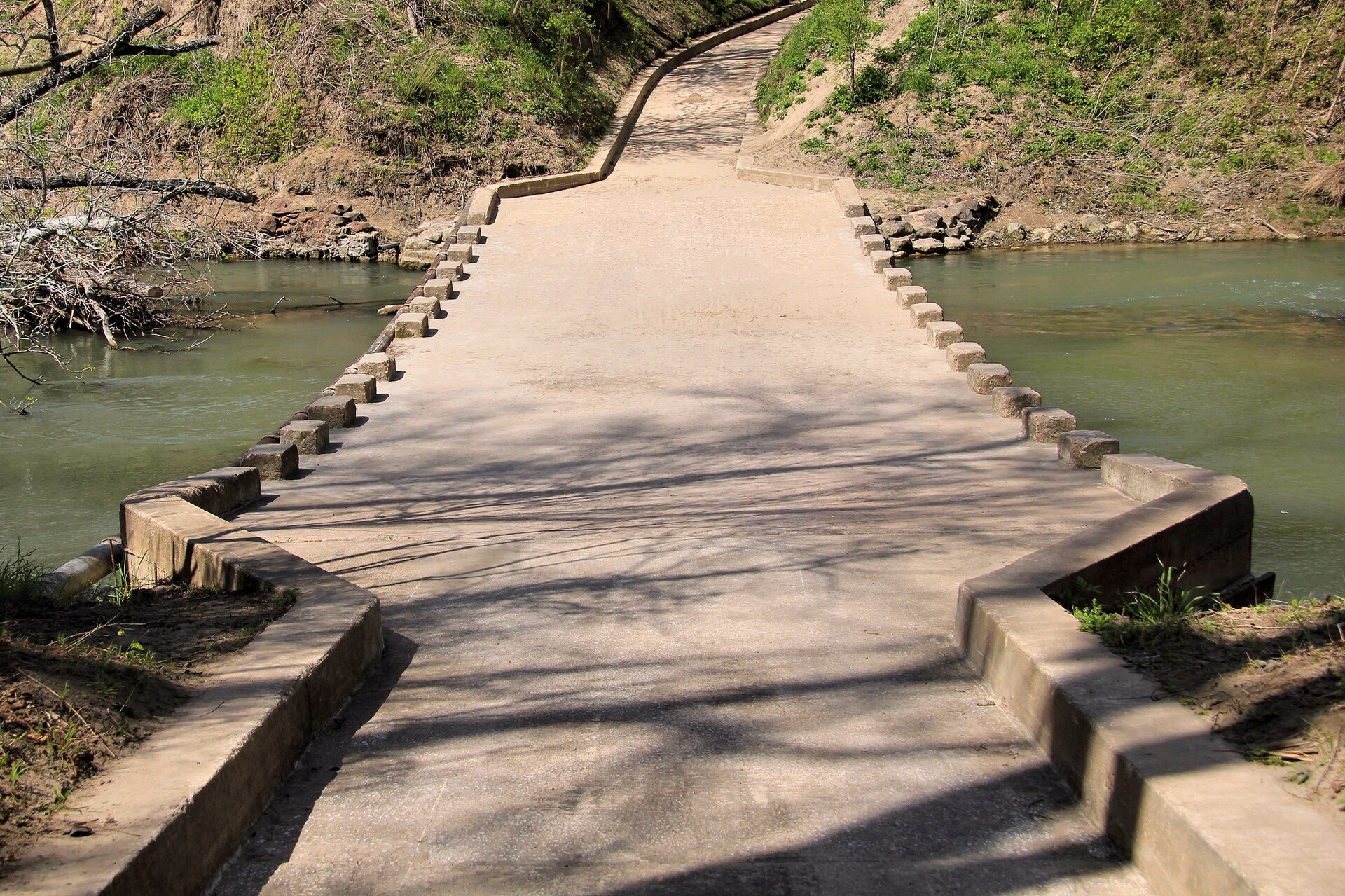
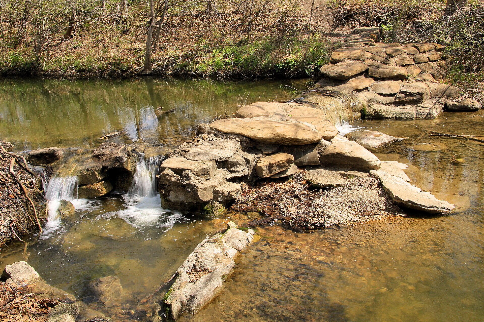
A small, lush park near Gonzales where dwarf palmettos, swampy lowlands, the San Marcos River and a CCC-built landscape create scenery that feels unexpectedly subtropical for Central Texas.

Best season: Fall through spring for hiking; warm months for paddling with humidity precautions
  • Dwarf palmetto groves
  • San Marcos River paddling and fishing
  • CCC-built structures
Explore this place
Check current drive from Corpus Christi ↗

About 125 geographic miles

Brownsville

Brownsville · Cameron County

Resaca de la Palma State Park

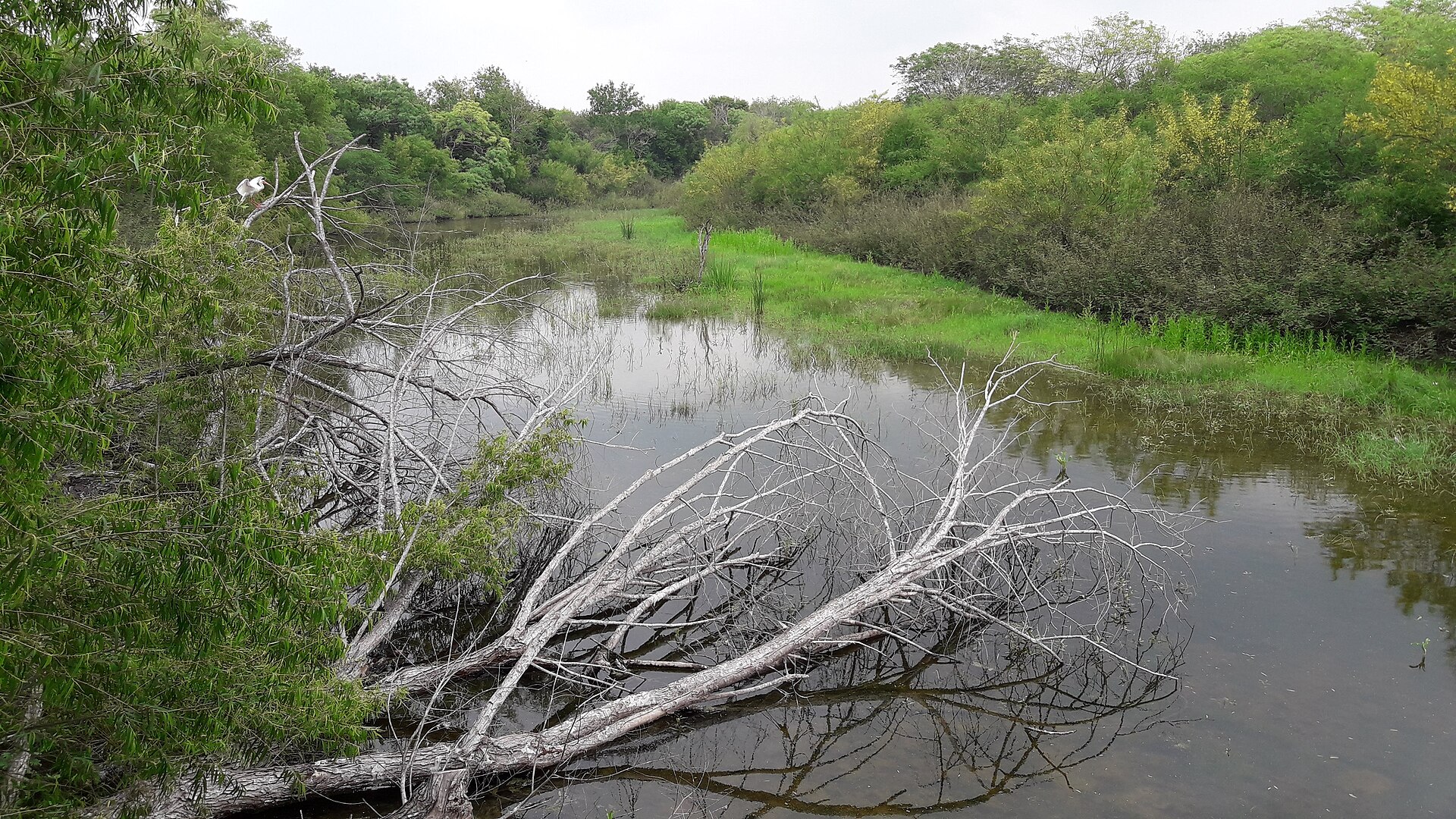
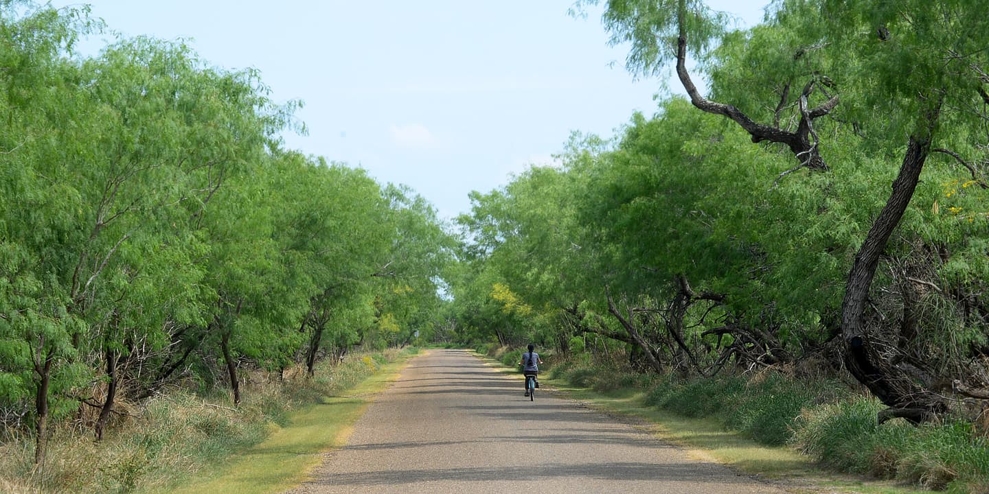
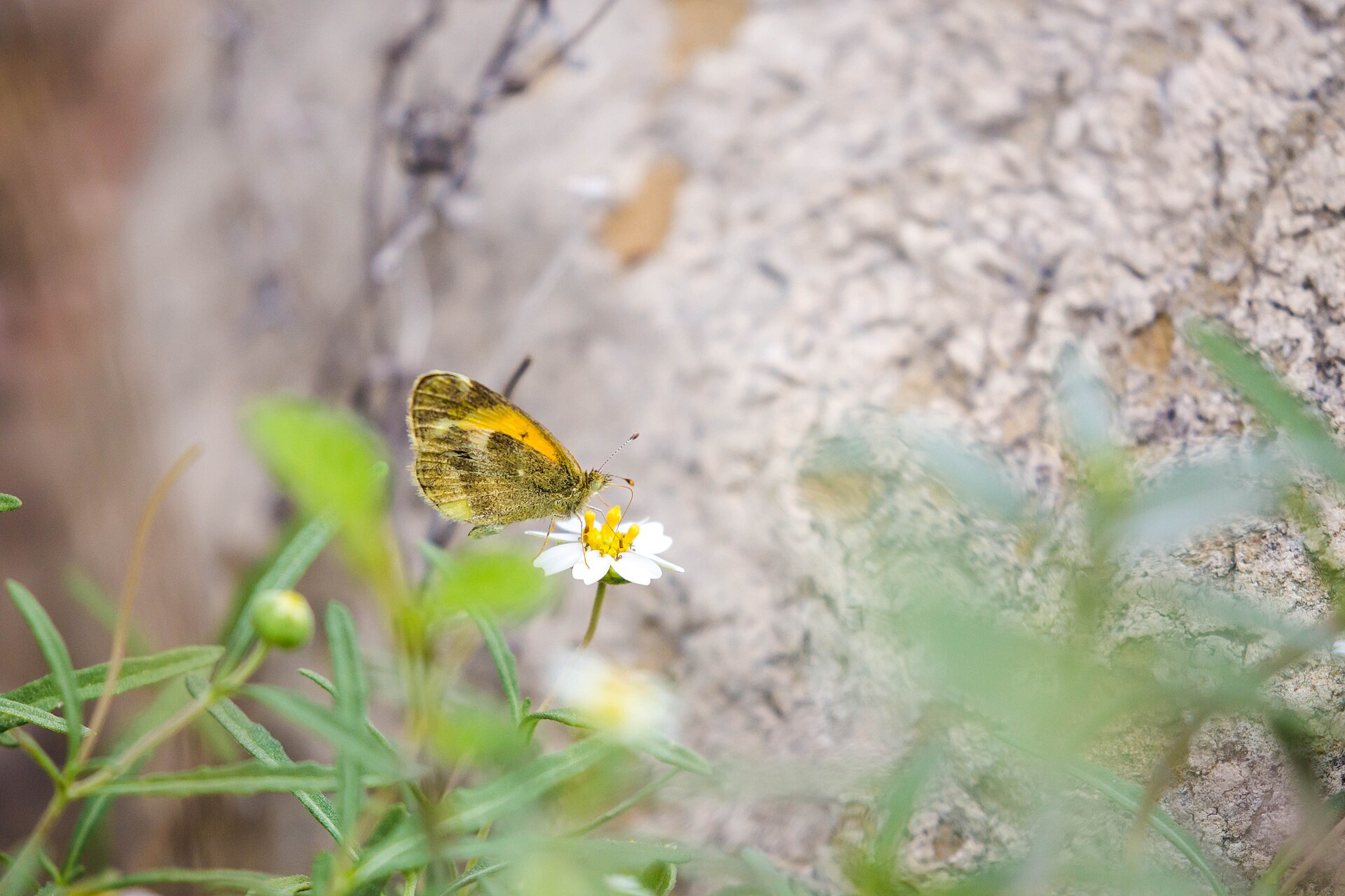
Resaca de la Palma State Park near Brownsville protects one of the Valley's largest native habitat tracts, with former Rio Grande channels, woodland trails, resaca overlooks, butterfly habitat and car-free birding.

Best season: Fall through spring for cooler trails and bird migration; summer visits require early starts and serious heat precautions.Updated Oct 2026
  • Native resaca woodland and South Texas thornscrub
  • More than eight miles of trails
  • Four wildlife-viewing decks overlooking resacas
Explore this place
Check current drive from Corpus Christi ↗

About 127 geographic miles

Mission

Mission · Hidalgo County

Bentsen-Rio Grande Valley State Park

The World Birding Center headquarters near Mission, protecting Lower Rio Grande Valley resaca, woodland and thornscrub habitat with exceptional birding, car-free trails and wildlife viewing.

Best season: September through April is the park's busy season; fall through spring generally brings milder weather and strong migration and birding.Updated Sep 2026
  • World Birding Center headquarters
  • About 360 recorded bird species
  • Hawk Observation Tower and migration viewing
Explore this place
Check current drive from Corpus Christi ↗

About 127 geographic miles

Laredo

Laredo · Webb County

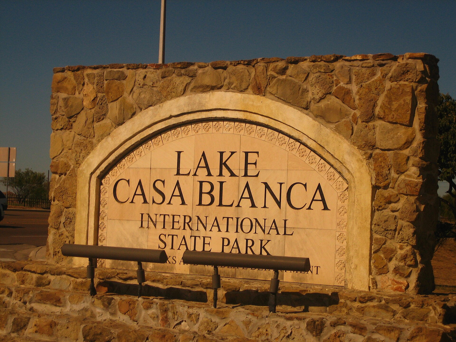
Lake Casa Blanca International State Park

A Laredo lake park on the edge of the South Texas brush country, offering fishing, paddling, swimming, camping and an accessible outdoor stop close to the city.

Best season: Fall through spring; summer requires strong heat precautionsUpdated Oct 2026
  • Lake Casa Blanca fishing
  • Paddling and boating
  • Swimming and lakeside picnics
Explore this place
Check current drive from Corpus Christi ↗

About 136 geographic miles

Falcon Heights

Falcon Heights · Starr County

Falcon State Park

Falcon State Park on Falcon International Reservoir in South Texas pairs lake fishing and camping with dry-brush birding, butterfly habitat and the history of the Rio Grande dam near Roma.

Best season: Fall and winter for milder weather and brush-country birding; fishing and camping require attention to current heat and lake levels year-round.Updated Oct 2026
  • Falcon International Reservoir fishing and boat access
  • Dry-brush birding and tropical South Texas species
  • Camping, cabins and screened shelters
Explore this place
Check current drive from Corpus Christi ↗

About 143 geographic miles

Lockhart

Lockhart · Caldwell County

Lockhart State Park

A small Central Texas state park beside Clear Fork Creek, notable for wooded trails, a historic CCC-built recreation landscape and the only golf course in the Texas State Park system.

Best season: Fall through spring for hiking and golf; summer visits are best early or late in the day
  • Historic nine-hole state-park golf course
  • Civilian Conservation Corps structures
  • Short wooded and creekside trails
Explore this place
Check current drive from Corpus Christi ↗

Before you go

Use geography as a shortlist, then check the real route.

TexasDefined uses location data to make the statewide catalog easier to search. Open the current driving route for the places you are considering, then verify opening hours, reservations, park alerts, water conditions and weather with the current official source.