Sports · Nov 17, 2026 · 7:00 PM
Rio Grande Valley Vipers vs. Austin Spurs
Edinburg · Bert Ogden Arena
Last verified Nov 17, 2026. Confirm event-day details with the official source before traveling.
Coastal Bend · Weekend trips
Overnight-worthy towns, parks, water, caves, coast and history that can anchor a one- or two-night escape from the metro.
Source-backed options30
Distance window45–230 straight-line miles
OrderingGeographic distance
Straight-line distances are screening estimates from central Corpus Christi. They are not road miles or drive-time promises. Use the “Check current drive” links in the map and guide sections below for current Google Maps routing, road mileage and travel-time estimates.
Plan around the calendar
These events are limited to towns represented by the weekend-trip destinations on this page.
Sports · Nov 17, 2026 · 7:00 PM
Edinburg · Bert Ogden Arena
Last verified Nov 17, 2026. Confirm event-day details with the official source before traveling.
Seasonal · Nov 18, 2026
Three Rivers · Choke Canyon State Park
Last verified Nov 16, 2026. Confirm event-day details with the official source before traveling.
Arts & Culture · Nov 20, 2026
Three Rivers · Choke Canyon State Park
Last verified Nov 16, 2026. Confirm event-day details with the official source before traveling.
Sports · Nov 20, 2026 · 7:30 PM
Edinburg · Bert Ogden Arena
Last verified Nov 17, 2026. Confirm event-day details with the official source before traveling.
Sports · Nov 21, 2026
Shiner · K. Spoetzl Brewery & Distillery
Last verified Nov 10, 2026. Confirm event-day details with the official source before traveling.
Seasonal · Nov 21, 2026
Three Rivers · Choke Canyon State Park
Last verified Nov 16, 2026. Confirm event-day details with the official source before traveling.
Arts & Culture · Nov 21, 2026
Goliad · Goliad State Park & Historic Site
Last verified Nov 16, 2026. Confirm event-day details with the official source before traveling.
Sports · Nov 21, 2026 · 7:30 PM
Edinburg · Bert Ogden Arena
Last verified Nov 17, 2026. Confirm event-day details with the official source before traveling.
Seasonal · Nov 22, 2026
Three Rivers · Choke Canyon State Park
Last verified Nov 16, 2026. Confirm event-day details with the official source before traveling.
Arts & Culture · Nov 22, 2026
Goliad · Goliad State Park & Historic Site
Last verified Nov 16, 2026. Confirm event-day details with the official source before traveling.
Seasonal · Nov 23, 2026–Jan 1, 2027
Cuero · Cuero Municipal Park
Last verified Oct 23, 2026. Confirm event-day details with the official source before traveling.
Seasonal · Nov 25, 2026
Three Rivers · Choke Canyon State Park
Last verified Nov 16, 2026. Confirm event-day details with the official source before traveling.
Map & routes
Find it on the map and compare routes
Easy day-trip range
About 51 geographic miles
AustwellAustwell · Aransas and Refugio counties
A vast coastal refuge north of Rockport protecting marsh, oak woodland and tidal flats best known as the principal wintering ground of the endangered whooping crane.
About 58 geographic miles
GoliadGoliad · Goliad County
A restored Spanish colonial presidio in Goliad associated with the Texas Revolution and the Goliad Massacre, with a chapel, museum and fortified courtyard overlooking the San Antonio River valley.
About 59 geographic miles
GoliadGoliad · Goliad County
A South Texas history park centered on Mission Espíritu Santo, with restored Spanish colonial architecture, museum exhibits and a San Antonio River setting tied to the broader Goliad story.
About 60 geographic miles
GoliadGoliad · Goliad County
Ignacio Zaragoza was born in the Goliad area and later commanded Mexican forces in their 1862 victory over the French at Puebla, commemorated by Cinco de Mayo. The birthplace connects Texas borderlands history to a major event in Mexican national memory and adds another layer to a Goliad history trip.
About 60 geographic miles
GoliadGoliad · Goliad County
Goliad is a South Texas courthouse town on the San Antonio River where Spanish mission history, Presidio La Bahía, the 1836 Goliad campaign, historic downtown streets and nearby parkland create one of the state's most concentrated Texas Revolution destinations.
About 62 geographic miles
FanninFannin · Goliad County
The site preserves the landscape associated with the 1836 Battle of Coleto, where James Fannin's command was surrounded during the Texas Revolution. Pair it with Presidio La Bahía to follow the events that led from the Coleto surrender to the Goliad executions.
About 73 geographic miles
Port O'ConnorPort O'Connor · Calhoun County
A remote beach area on Matagorda Island open to the public for beachcombing, fishing, birding and camping, reached only by private or charter boat.
About 74 geographic miles
Three RiversThree Rivers · McMullen County
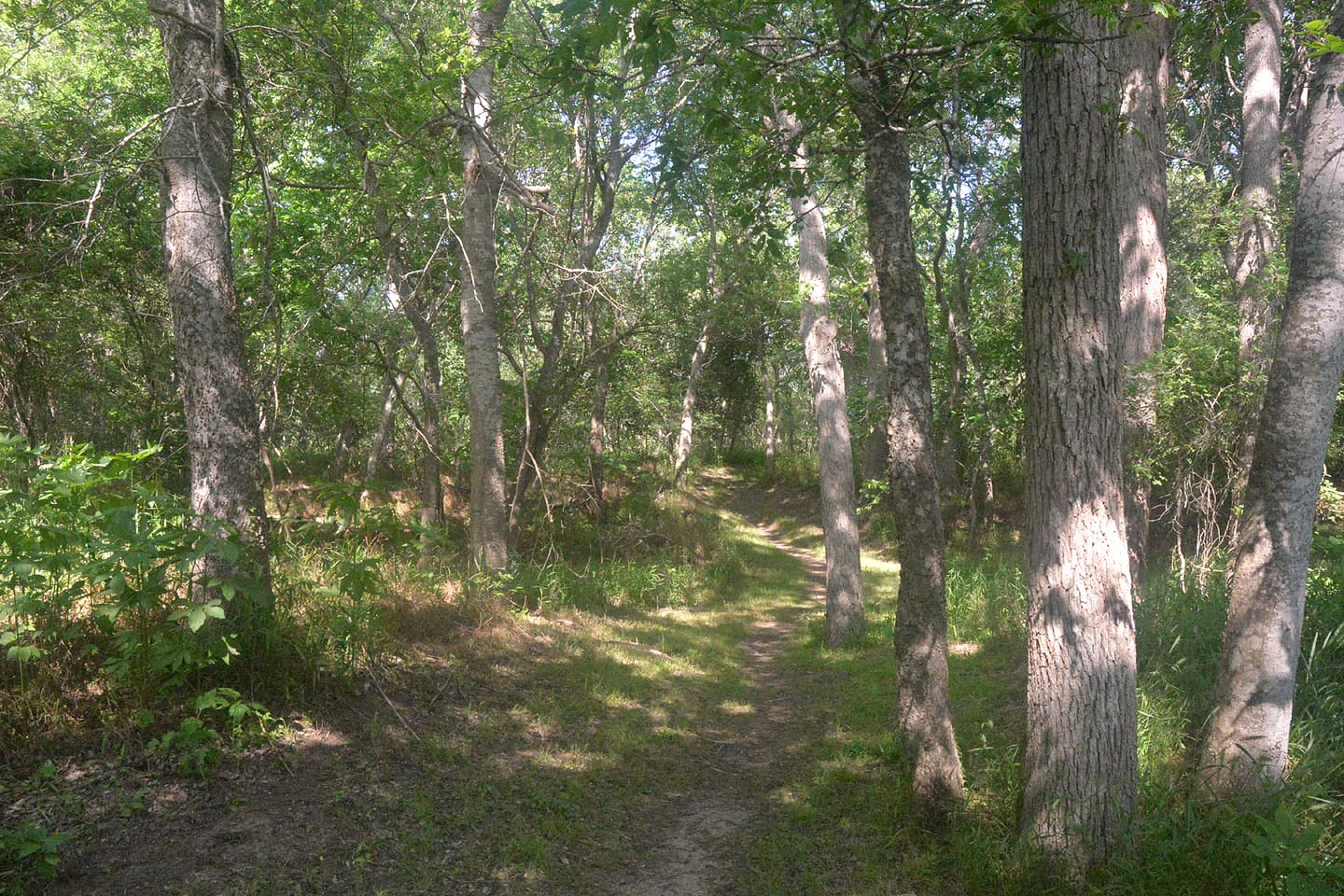
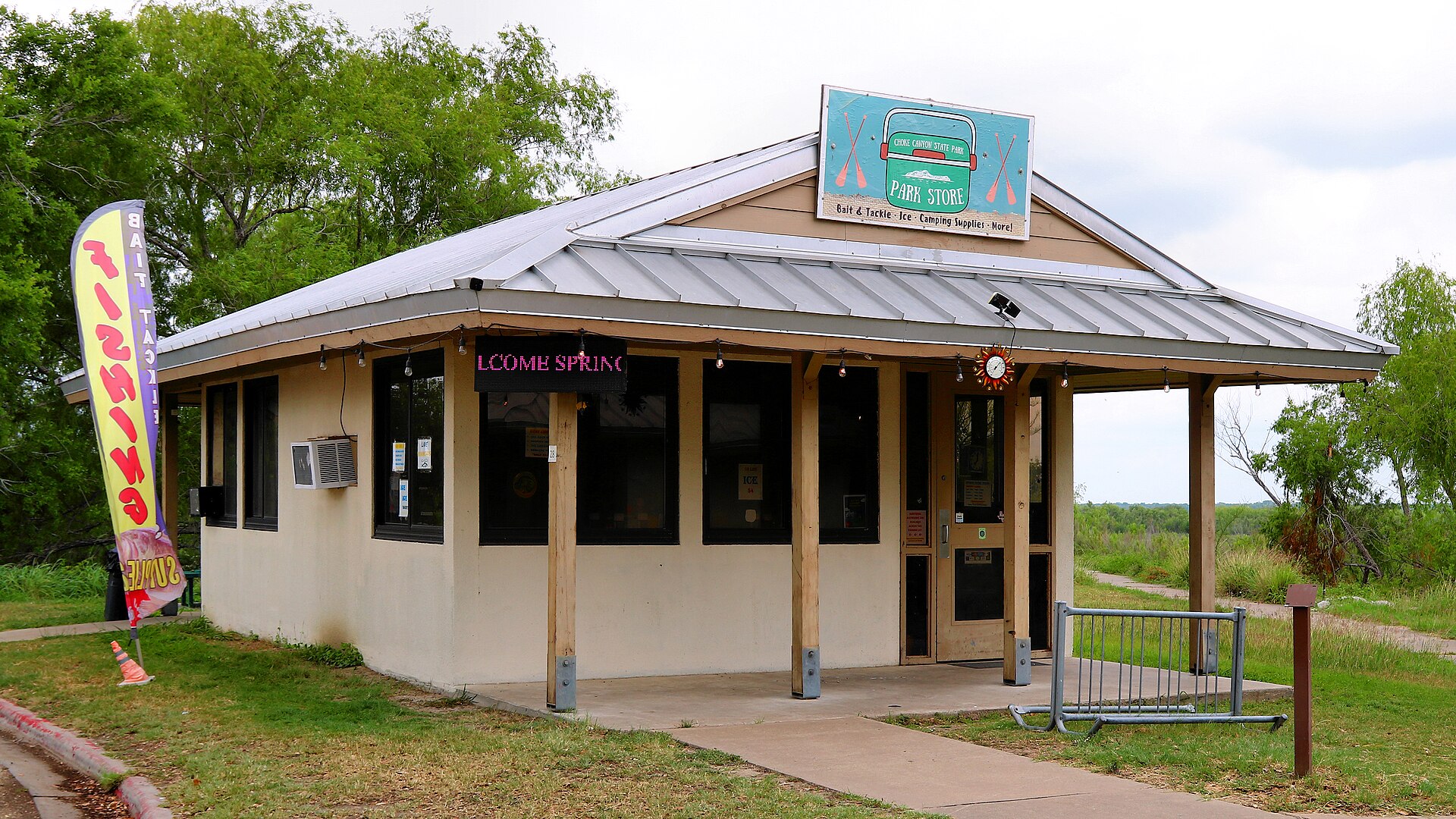
A South Texas reservoir state park with two separate public units: full-service Calliham for camping and broader park facilities, and day-use South Shore for boating, fishing and birding.
About 75 geographic miles
Port LavacaPort Lavaca · Calhoun County
A developed Port Lavaca bayfront park with a beach, birding boardwalk, playground, RV facilities and views across Lavaca Bay.
About 75 geographic miles
Port O'ConnorPort O'Connor · Calhoun County
A small community beach at Port O'Connor with picnic and recreation amenities, giving visitors a convenient Matagorda Bay shoreline stop near fishing and boating access.
Longer day trip
About 90 geographic miles
CueroCuero · DeWitt County
Cuero is a DeWitt County courthouse town with a historic Main Street district, Chisholm Trail and ranching history, Turkeyfest traditions, multiple museums, murals, a large municipal park and access to the Guadalupe River paddling corridor.
About 95 geographic miles
PalaciosPalacios · Matagorda County
A bayside shoreline stop in Palacios on Matagorda Bay, oriented toward calm-water scenery, family recreation, fishing and the town's long waterfront rather than Gulf surf.
About 104 geographic miles
YoakumYoakum · Lavaca County
Discover Yoakum's railroads, Tex-Tan leather industry, tomato-shipping history and the 1912 Elkins–Browning house.
About 105 geographic miles
MatagordaMatagorda · Matagorda County
A long Gulf beach at the mouth of the Colorado River, combining drive-on shoreline, surf fishing and open-coast scenery with nearby dunes, wetlands and Matagorda Bay access.
About 109 geographic miles
Los FresnosLos Fresnos · Cameron County
A Lower Rio Grande Valley refuge protecting thornscrub, coastal prairie, wetlands and Laguna Madre habitat used by ocelots, aplomado falcons and hundreds of bird species.
About 113 geographic miles
HarlingenHarlingen · Cameron County
The monument and museum commemorate the Marines associated with the famous flag-raising on Mount Suribachi during the 1945 Battle of Iwo Jima. The site links the Rio Grande Valley to one of World War II's most recognizable images and to the military training history of South Texas.
About 113 geographic miles
ShinerShiner · Lavaca County
Shiner is a small Lavaca County town where Czech and German heritage, railroad history, a nationally known brewery, a painted church, local museums and a compact historic core make an unusually strong one-day or overnight Texas road-trip stop.
About 114 geographic miles
EdinburgEdinburg · Hidalgo County
Museum of South Texas History in Edinburg preserves and interprets the borderland heritage of South Texas and northeastern Mexico through archaeology, ranching, river commerce, railroads, agriculture, military history and Rio Grande Valley community life.
About 114 geographic miles
ShinerShiner · Lavaca County
The historic Shiner brewery is a working production brewery, distillery and visitor campus in Lavaca County, with guided brewery tours, Shiner beer tastings, a gift shop, on-site barbecue, the Rickhouse restaurant and more than a century of Texas brewing history.
About 114 geographic miles
South Padre IslandSouth Padre Island · Cameron County
A Cameron County beach access north of town that connects State Park Road 100 to Gulf shoreline and the island's vehicle-access beach corridor.
About 115 geographic miles
South Padre IslandSouth Padre Island · Cameron County
A Cameron County Gulf beach park just north of South Padre Island's developed core, with beach access, parking, pavilions, restrooms and RV facilities.
About 116 geographic miles
South Padre IslandSouth Padre Island · Cameron County
South Padre Island’s sea-turtle rescue and education center lets visitors learn about rehabilitation, resident turtles and Gulf conservation beside the Laguna Madre.
About 117 geographic miles
South Padre IslandSouth Padre Island · Cameron County
A year-round public-art trail of roughly 30 semi-permanent sand sculptures spread around South Padre Island, extending the island's sandcastle culture beyond the beach itself.
About 117 geographic miles
South Padre IslandSouth Padre Island · Cameron County
The developed resort-city Gulf shoreline of South Padre Island, connected by city and county beach accesses and extending north toward drive-on county beach areas.
About 118 geographic miles
South Padre IslandSouth Padre Island · Cameron County
A subtropical barrier island at the southern tip of Texas with broad Gulf beaches, Laguna Madre sunsets, birding, sea-turtle conservation and year-round coastal recreation.
About 118 geographic miles
GonzalesGonzales · Gonzales County
Gonzales is a Guadalupe River town where the first military clash of the Texas Revolution, the 'Come and Take It' story, a broad historic district, museums and nearby Palmetto State Park create a strong history-and-outdoors weekend east of San Antonio.
About 120 geographic miles
Port IsabelPort Isabel · Cameron County
Texas' only lighthouse open to the public, an 1852 brick tower in Port Isabel where 75 winding stairs and short ladders lead to coastal views toward South Padre Island and a restored third-order Fresnel lens.
About 120 geographic miles
Port IsabelPort Isabel · Cameron County
The Port Isabel Historical Museum occupies the 1899 Champion Building and interprets the Laguna Madre area's maritime, border and community history beneath the building's distinctive early twentieth-century fish mural.
About 120 geographic miles
Port IsabelPort Isabel · Cameron County
Port Isabel is a Lower Laguna Madre coastal town anchored by the historic 1852 lighthouse, a walkable town square, maritime museums, fishing access and the Queen Isabella Causeway connection to South Padre Island.
About 120 geographic miles
South Padre IslandSouth Padre Island · Cameron County
Cameron County's major coastal park at the southern end of South Padre Island, with more than a mile of Gulf beach, pavilions, jetties, marina access, RV facilities and seasonal beach services.
Before you go
TexasDefined uses location data to make the statewide catalog easier to search. Open the current driving route for the places you are considering, then verify opening hours, reservations, park alerts, water conditions and weather with the current official source.