18 source-backed options
Weekend trips
Overnight-worthy towns, parks, water, caves, coast and history that can anchor a one- or two-night escape from the metro.
Far West Texas drive market
El Paso anchors Far West Texas at the Franklin Mountains, with desert parks, mission history, mountain drives and long-distance weekend routes that need a western-Texas planning lens.
TexasDefined ranks these nearby guides with destination coordinates and source-backed place records. Mileages are straight-line geographic estimates for comparison, not promised driving distances or travel times. The destination-ring pages link directly to current driving routes from central El Paso.
Explore by trip type
18 source-backed options
Overnight-worthy towns, parks, water, caves, coast and history that can anchor a one- or two-night escape from the metro.
18 source-backed options
Route anchors for scenic drives and multi-stop Texas trips, emphasizing towns, parks, water, history and dedicated road-trip destinations.
Start with these
These are not paid rankings. They are a cross-section of the closest source-backed destinations across the nearby collections above.
About 28 geographic miles
El Paso · El Paso County
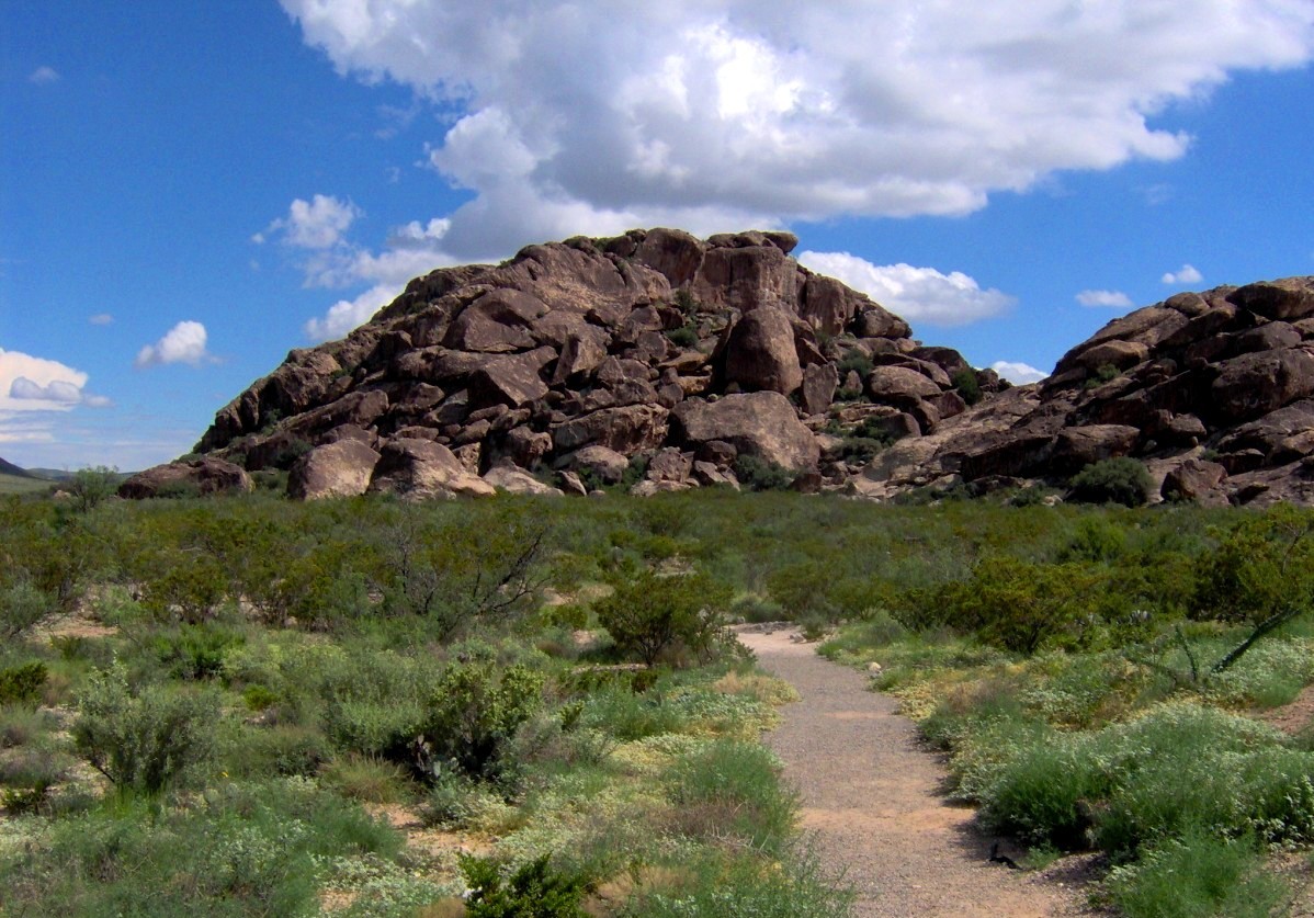
Protect and explore Hueco Tanks' ancient pictographs and desert rock basins east of El Paso, with strict North Mountain permits, advance-booked guided access, climbing rules and limited camping.
About 98 geographic miles
Salt Flat · Culberson County
Hike Guadalupe Peak, the Pine Springs area and McKittrick Canyon with accurate Mountain Time visitor schedules, trail elevation gain, short-day gate closures and limited West Texas services.
About 169 geographic miles
Balmorhea · Reeves County
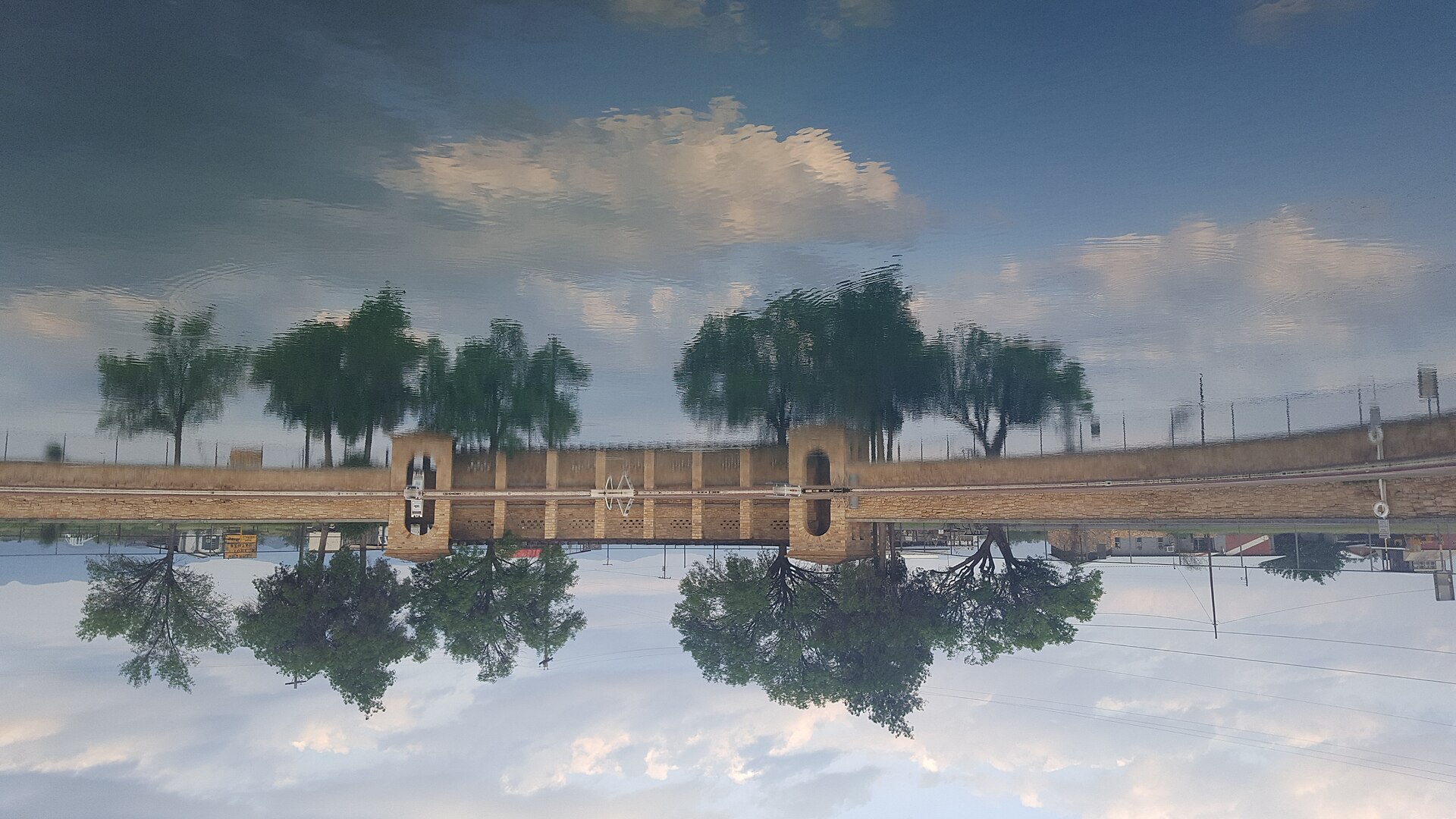
A West Texas oasis built around San Solomon Springs and the world’s largest spring-fed swimming pool, where clear 72-to-76-degree water fills a historic CCC-era park in the desert.
About 171 geographic miles
Fort Davis · Jeff Davis County
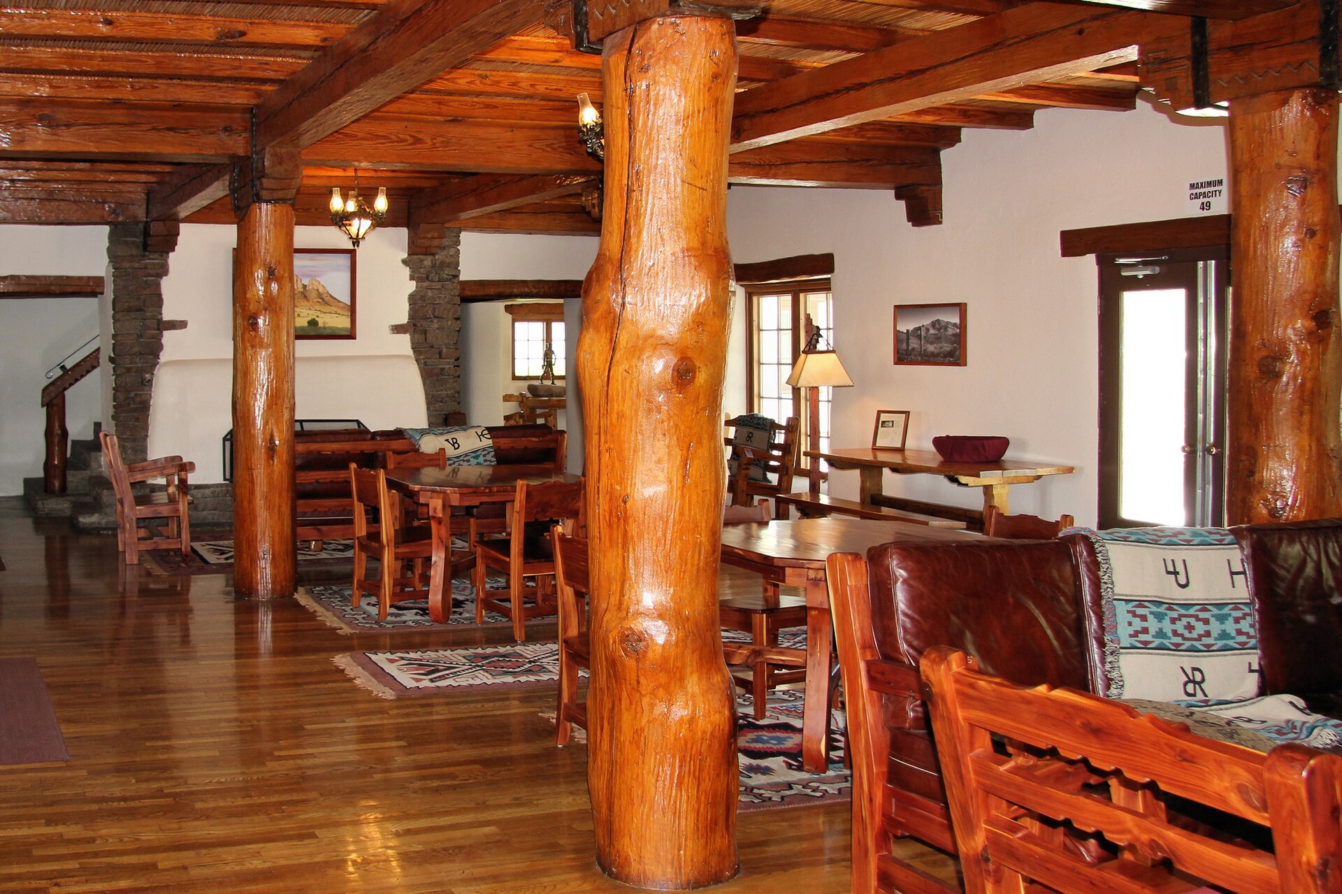
A white-adobe 1930s lodge built by the Civilian Conservation Corps inside Davis Mountains State Park, offering one of Texas' most distinctive overnight bases for mountain drives, trails and dark West Texas skies.
About 171 geographic miles
Fort Davis · Jeff Davis County
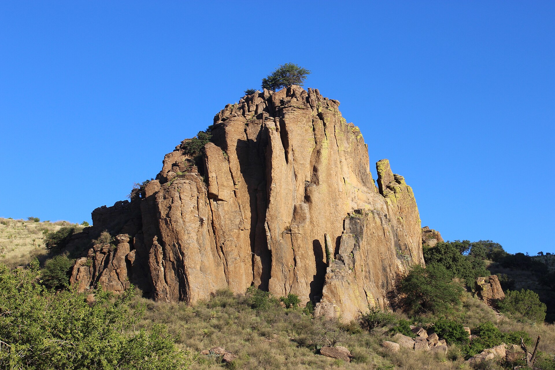
A high-desert mountain park above Fort Davis with Skyline Drive, CCC history, hiking, birding and access to Indian Lodge amid cooler elevations and broad Trans-Pecos views.
About 173 geographic miles
Fort Davis · Jeff Davis County
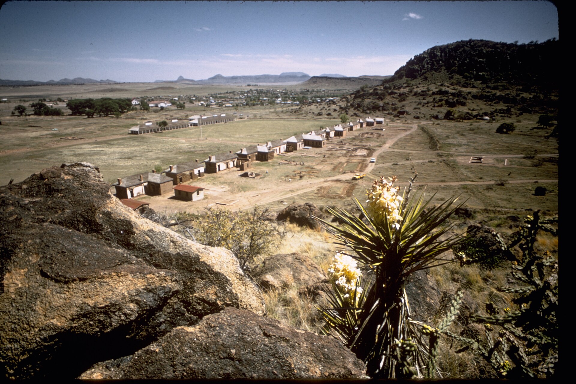
Explore restored frontier military buildings and Buffalo Soldiers history beneath the Davis Mountains, with separate National Park Service visitor-center hours, self-guided interpretation and connecting hiking routes.
About 173 geographic miles
Fort Davis · Jeff Davis County
Fort Davis is a high-elevation Jeff Davis County community in the Davis Mountains where a nationally significant frontier military post, Buffalo Soldier history, mountain scenery, dark skies, Davis Mountains State Park and McDonald Observatory create a concentrated Far West Texas base.
About 177 geographic miles
Marfa · Presidio County
Marfa is a remote high-desert town where Presidio County history, internationally known contemporary art, adobe streetscapes, the Marfa Lights and immense West Texas skies create a destination that rewards slow travel rather than a rushed roadside stop.
About 177 geographic miles
Marfa · Presidio County
Visit Marfa's surviving segregated school and hear Mexican American students' accounts of education, language suppression and community preservation at a National Park Service historic site.
How to use this guide
Straight-line distance is useful for sorting a statewide catalog, but Texas roads, traffic, water crossings and park entrances can make actual driving much longer. Open the destination guide, then verify the route, hours, reservations, closures and weather before leaving.