Seasonal · Nov 18, 2026
Morning Nature Walk
Fort Davis · Davis Mountains State Park
Last verified Nov 16, 2026. Confirm event-day details with the official source before traveling.
Far West Texas · Weekend trips
Overnight-worthy towns, parks, water, caves, coast and history that can anchor a one- or two-night escape from the metro.
Source-backed options18
Distance window45–230 straight-line miles
OrderingGeographic distance
Straight-line distances are screening estimates from central El Paso. They are not road miles or drive-time promises. Use the “Check current drive” links in the map and guide sections below for current Google Maps routing, road mileage and travel-time estimates.
Plan around the calendar
These events are limited to towns represented by the weekend-trip destinations on this page.
Seasonal · Nov 18, 2026
Fort Davis · Davis Mountains State Park
Last verified Nov 16, 2026. Confirm event-day details with the official source before traveling.
Sports · Nov 18, 2026
Fort Davis · Davis Mountains State Park
Last verified Nov 16, 2026. Confirm event-day details with the official source before traveling.
Seasonal · Nov 19, 2026
Fort Davis · Davis Mountains State Park
Last verified Nov 16, 2026. Confirm event-day details with the official source before traveling.
Seasonal · Nov 20, 2026
Fort Davis · Davis Mountains State Park
Last verified Nov 16, 2026. Confirm event-day details with the official source before traveling.
Seasonal · Nov 21, 2026
Fort Davis · Davis Mountains State Park
Last verified Nov 16, 2026. Confirm event-day details with the official source before traveling.
Seasonal · Nov 25, 2026
Fort Davis · Davis Mountains State Park
Last verified Nov 16, 2026. Confirm event-day details with the official source before traveling.
Seasonal · Nov 27, 2026
Fort Davis · Davis Mountains State Park
Last verified Nov 16, 2026. Confirm event-day details with the official source before traveling.
Map & routes
Find it on the map and compare routes
Longer day trip
About 98 geographic miles
Salt FlatSalt Flat · Culberson County
Hike Guadalupe Peak, the Pine Springs area and McKittrick Canyon with accurate Mountain Time visitor schedules, trail elevation gain, short-day gate closures and limited West Texas services.
About 169 geographic miles
BalmorheaBalmorhea · Reeves County
A West Texas oasis built around San Solomon Springs and the world’s largest spring-fed swimming pool, where clear 72-to-76-degree water fills a historic CCC-era park in the desert.
About 171 geographic miles
Fort DavisFort Davis · Jeff Davis County
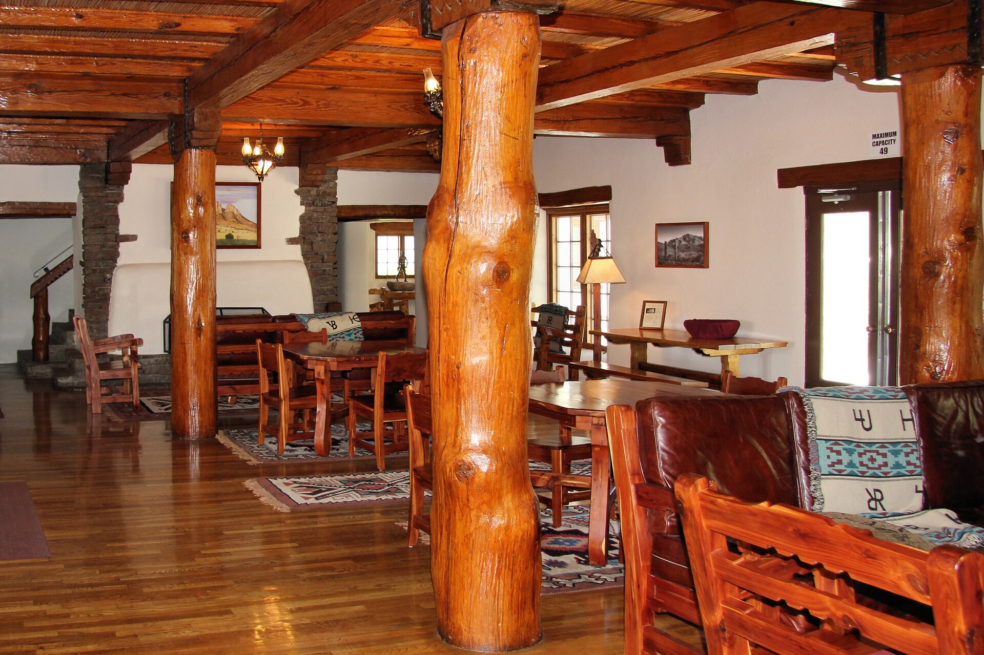
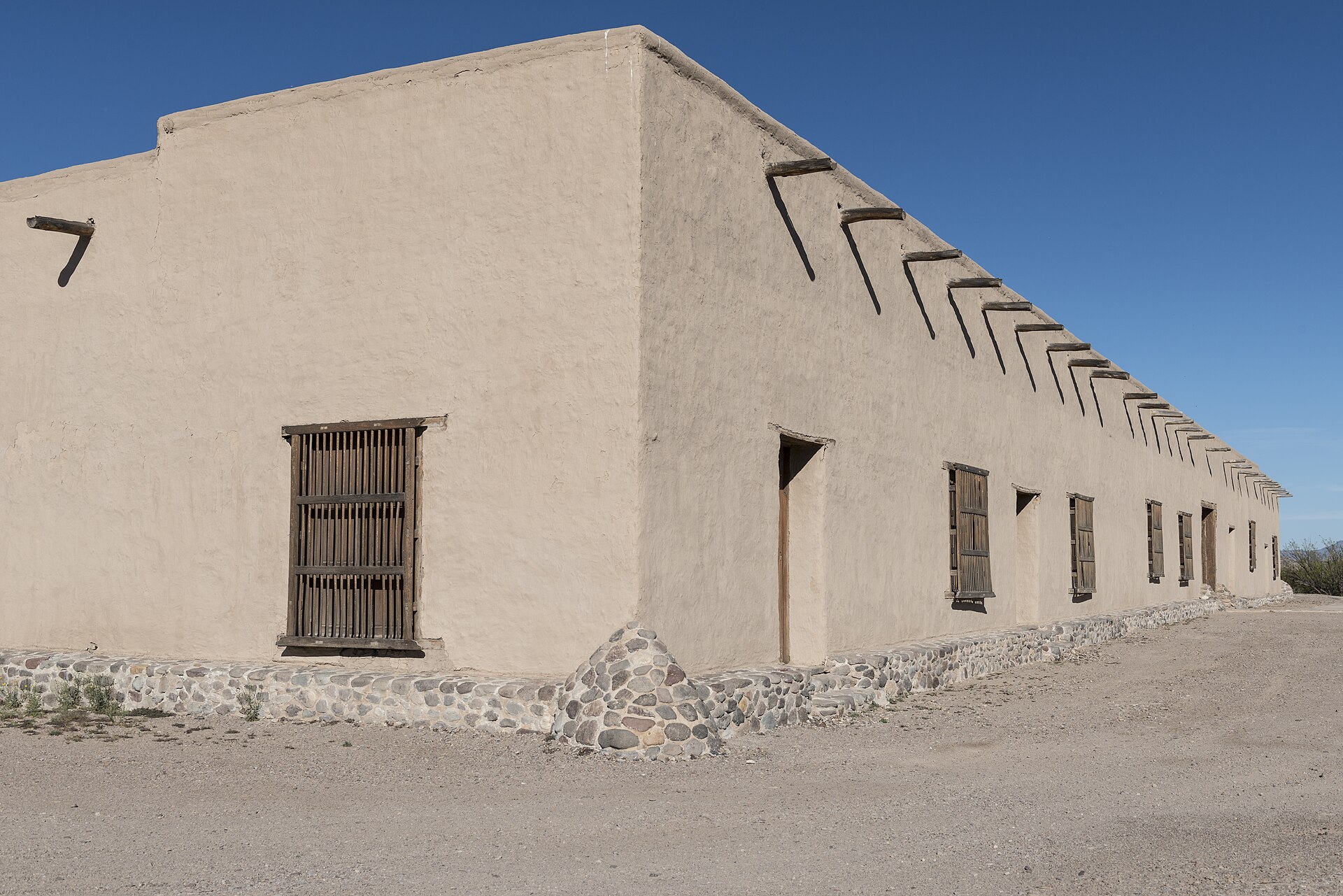
A white-adobe 1930s lodge built by the Civilian Conservation Corps inside Davis Mountains State Park, offering one of Texas' most distinctive overnight bases for mountain drives, trails and dark West Texas skies.
About 171 geographic miles
Fort DavisFort Davis · Jeff Davis County
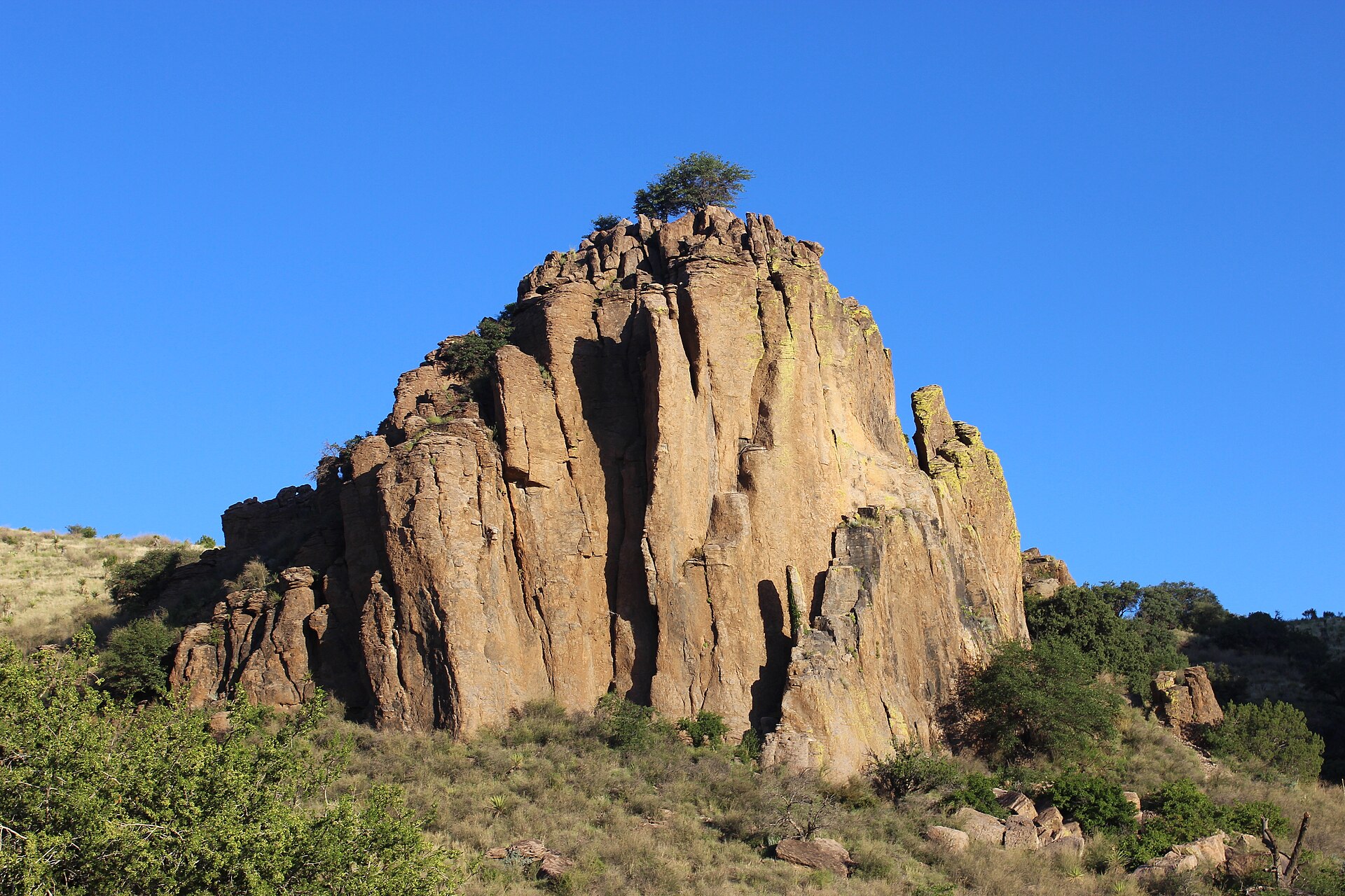
A high-desert mountain park above Fort Davis with Skyline Drive, CCC history, hiking, birding and access to Indian Lodge amid cooler elevations and broad Trans-Pecos views.
About 173 geographic miles
Fort DavisFort Davis · Jeff Davis County
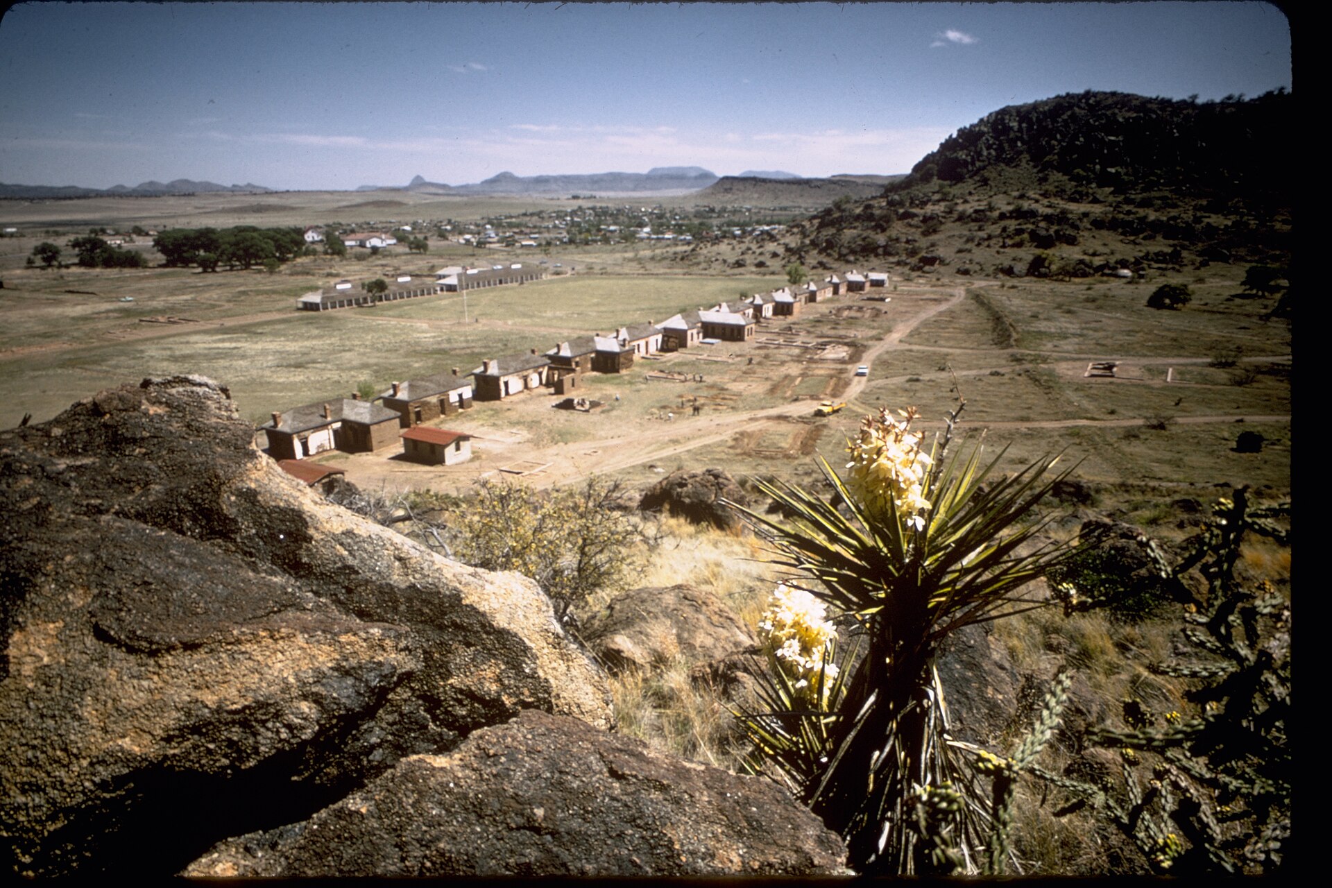
Explore restored frontier military buildings and Buffalo Soldiers history beneath the Davis Mountains, with separate National Park Service visitor-center hours, self-guided interpretation and connecting hiking routes.
About 173 geographic miles
Fort DavisFort Davis · Jeff Davis County
Fort Davis is a high-elevation Jeff Davis County community in the Davis Mountains where a nationally significant frontier military post, Buffalo Soldier history, mountain scenery, dark skies, Davis Mountains State Park and McDonald Observatory create a concentrated Far West Texas base.
About 177 geographic miles
MarfaMarfa · Presidio County
Marfa is a remote high-desert town where Presidio County history, internationally known contemporary art, adobe streetscapes, the Marfa Lights and immense West Texas skies create a destination that rewards slow travel rather than a rushed roadside stop.
About 177 geographic miles
MarfaMarfa · Presidio County
Visit Marfa's surviving segregated school and hear Mexican American students' accounts of education, language suppression and community preservation at a National Park Service historic site.
About 178 geographic miles
PecosPecos · Reeves County
Pecos is a Trans-Pecos crossroads and rodeo-history town on I-20, known for its 1883 rodeo tradition, Reeves County Courthouse, western trails, Pecos Bill lore, public art and a growing visitor-services role between Midland-Odessa, the Davis Mountains and far West Texas.
About 193 geographic miles
AlpineAlpine · Brewster County
Alpine's 1947 Kokernot Field is a remarkably elaborate West Texas baseball park commissioned by rancher Herbert L. Kokernot Jr. Its local stonework, o6 Ranch identity, NAIA World Series history and continuing Alpine Cowboys games explain why this 2026 National Register listing matters beyond baseball fans.
About 193 geographic miles
AlpineAlpine · Brewster County
Spanning roughly 40 blocks and almost 96 acres, Alpine's 2026 National Register historic district links the arrival of the Southern Pacific Railroad in 1882 with its Brewster County courthouse, historic hotels, Hispanic community institutions, stone architecture and Big Bend gateway economy.
About 193 geographic miles
AlpineAlpine · Brewster County
Alpine's 1928 Holland Hotel is an important Spanish Colonial Revival landmark designed by Henry C. Trost and built to serve railroad travelers, ranchers, visitors and the civic life of the Big Bend gateway. The independently listed National Register building remains an operating hotel, with the earlier Holland family hotel story reaching back to 1912.
About 193 geographic miles
AlpineAlpine · Brewster County
Alpine is a high-desert Brewster County town where Sul Ross State University, the Museum of the Big Bend, downtown murals, historic buildings and mountain views create one of the most useful bases for exploring far West Texas.
About 194 geographic miles
AlpineAlpine · Brewster County
Museum of the Big Bend at Sul Ross State University interprets the natural history, human history and cultural crossroads of the Big Bend region of Texas and Mexico through archaeology, regional artifacts, maps, art and changing exhibitions.
About 197 geographic miles
PresidioPresidio · Presidio County
Presidio is a remote Rio Grande border community and western gateway to Big Bend Ranch State Park, combining deep La Junta history, Mexican-American border culture, Fort Leaton, dark skies and the celebrated FM 170 River Road through one of Texas' most dramatic desert landscapes.
About 200 geographic miles
PresidioPresidio · Presidio County
Walk a fortified nineteenth-century adobe trading post east of Presidio, learn about the older La Junta settlements, and use the site as Big Bend Ranch State Park's western permit and information gateway.
About 216 geographic miles
MonahansMonahans · Ward County
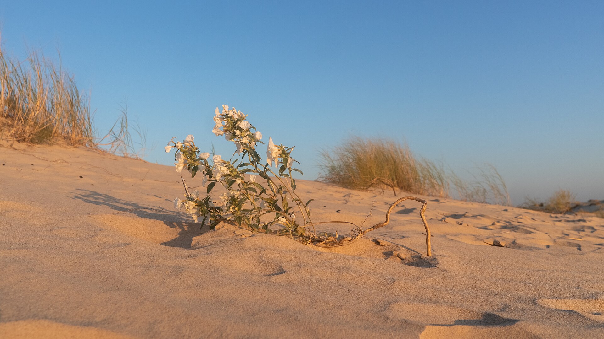
A West Texas field of wind-shaped dunes where visitors can roam without marked trails, rent sand discs, camp beneath wide skies and watch the landscape change after every strong wind.
About 218 geographic miles
PresidioPresidio · Presidio County
Texas' largest state park, stretching through remote Chihuahuan Desert mountains, canyons and Rio Grande country west of Presidio with rugged roads, trails and primitive camps.
Before you go
TexasDefined uses location data to make the statewide catalog easier to search. Open the current driving route for the places you are considering, then verify opening hours, reservations, park alerts, water conditions and weather with the current official source.