Skip to content

Concho Valley · Weekend trips

Weekend Trips From San Angelo, Texas

Overnight-worthy towns, parks, water, caves, coast and history that can anchor a one- or two-night escape from the metro.

Source-backed options30

Distance window45–230 straight-line miles

OrderingGeographic distance

Straight-line distances are screening estimates from central San Angelo. They are not road miles or drive-time promises. Use the “Check current drive” links in the map and guide sections below for current Google Maps routing, road mileage and travel-time estimates.

Plan around the calendar

Upcoming events in these weekend destinations

These events are limited to towns represented by the weekend-trip destinations on this page.

View all Texas events →

Map & routes

Find it on the map and compare routes

Easy day-trip range

14 full TexasDefined guides in this geographic band

About 48 geographic miles

Fort McKavett

Fort McKavett · Menard County

Fort McKavett State Historic Site

The remarkably preserved West Texas post interprets U.S. Army life and conflict on the 19th-century frontier, including the service of Buffalo Soldiers. Its surviving buildings and remote setting create one of Texas' clearest physical impressions of an Indian Wars-era military post.

Best season: Year-round; spring and fall are usually the most comfortable for outdoor portions of a visit.Updated Oct 2026
  • Buffalo Soldiers
  • frontier forts
  • military history
Explore this place
Check current drive from San Angelo ↗

About 54 geographic miles

Menard

Menard · Menard County

Menard

Menard is a San Saba River town on the northern Edwards Plateau where frontier-era history, a restored Art Deco courthouse, the historic irrigation ditch, river parks, fishing and a quiet ranch-country landscape support a low-key Texas heritage stop.

Best season: Fall through spring for historic walking, river parks and ranch-country drives; warm months for fishing and paddling with heat and river conditions checkedUpdated Sep 2026
  • San Saba River
  • Menard County Courthouse
  • Historic Ditch Walk
Explore this place
Check current drive from San Angelo ↗

About 63 geographic miles

Abilene

Abilene · Taylor County

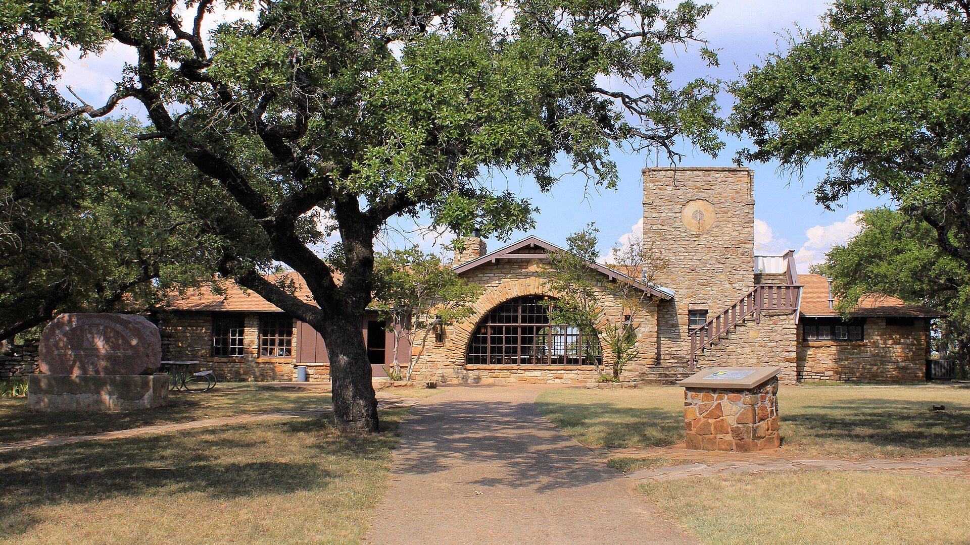
Abilene State Park

A shady West Texas park south of Abilene where pecan, elm and oak trees surround historic CCC structures, camping and a swimming pool near Lake Abilene.

Best season: Fall through spring for camping and trails; pool operations are seasonalUpdated Oct 2026
  • Historic CCC structures and shaded campground trails
  • Park swimming pool closed for renovations—not a currently bookable pool outing
  • Lake Abilene restrictions: no fishing, swimming, ramps or kayak rental
Explore this place
Check current drive from San Angelo ↗

About 63 geographic miles

Sonora

Sonora · Sutton County

Sonora

Sonora is an I-10 Sutton County town at the meeting point of the Hill Country and West Texas, combining a historic courthouse and Main Street, Eaton Hill trails, ranching history and one of the state's most celebrated show caves just southwest of town.

Best season: Fall through spring for Eaton Hill and downtown walking; the Caverns of Sonora stays warm and humid year-round and requires separate tour planningUpdated Sep 2026
  • Caverns of Sonora
  • Sutton County Courthouse
  • Eaton Hill Nature Center
Explore this place
Check current drive from San Angelo ↗

About 65 geographic miles

Coleman

Coleman · Coleman County

Coleman

Coleman is a west-central Texas county seat at the northern edge of the Hill Country, combining a compact downtown, Coleman County Courthouse, western heritage, local dining and shopping, and easy access to Lake Coleman recreation.

Best season: Fall through spring for downtown walking and regional drives; warmer months for lake recreation when heat, water and wind conditions are suitableUpdated Sep 2026
  • Coleman County Courthouse
  • historic downtown
  • Lake Coleman
Explore this place
Check current drive from San Angelo ↗

About 66 geographic miles

Colorado City

Colorado City · Mitchell County

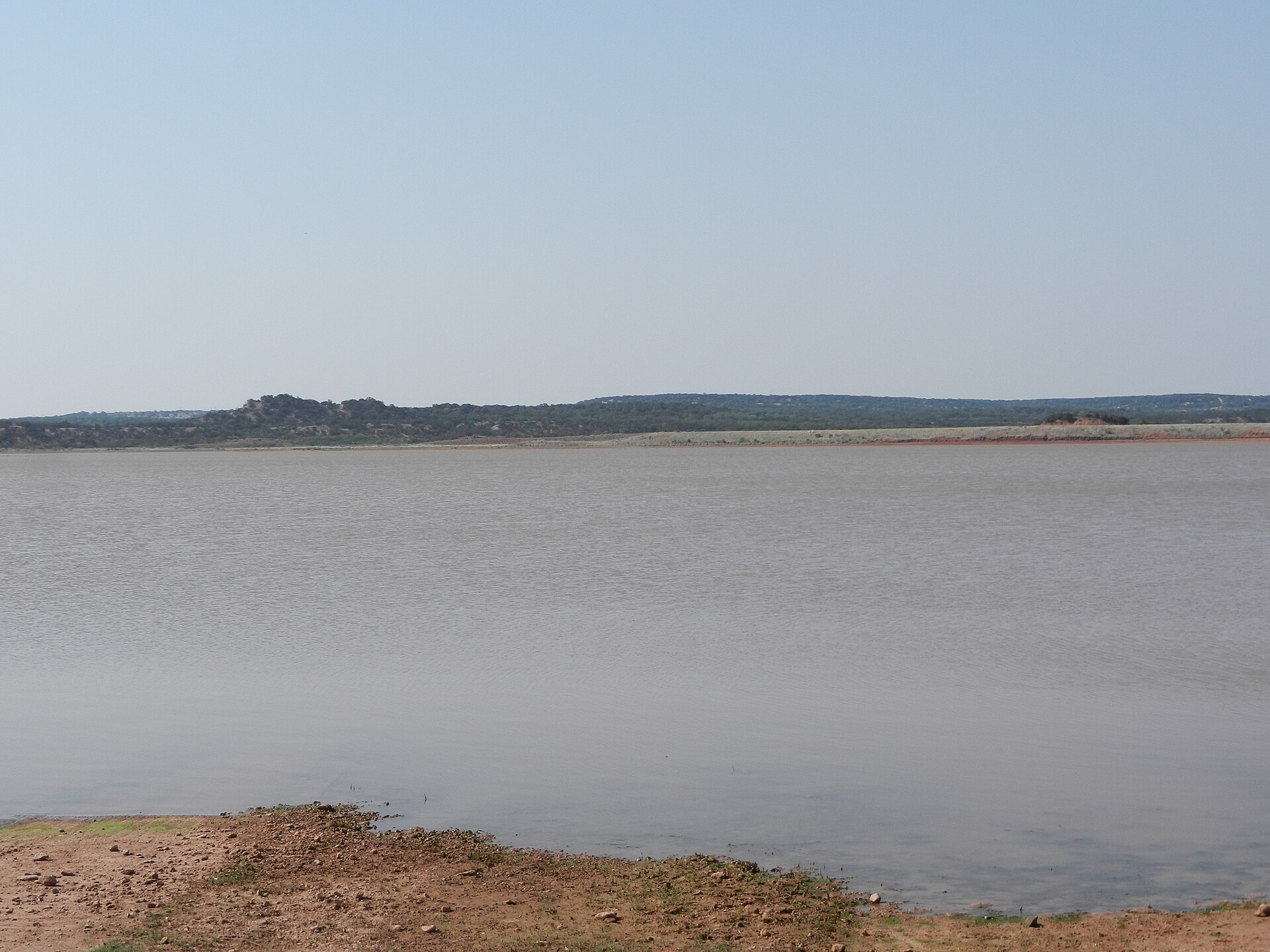
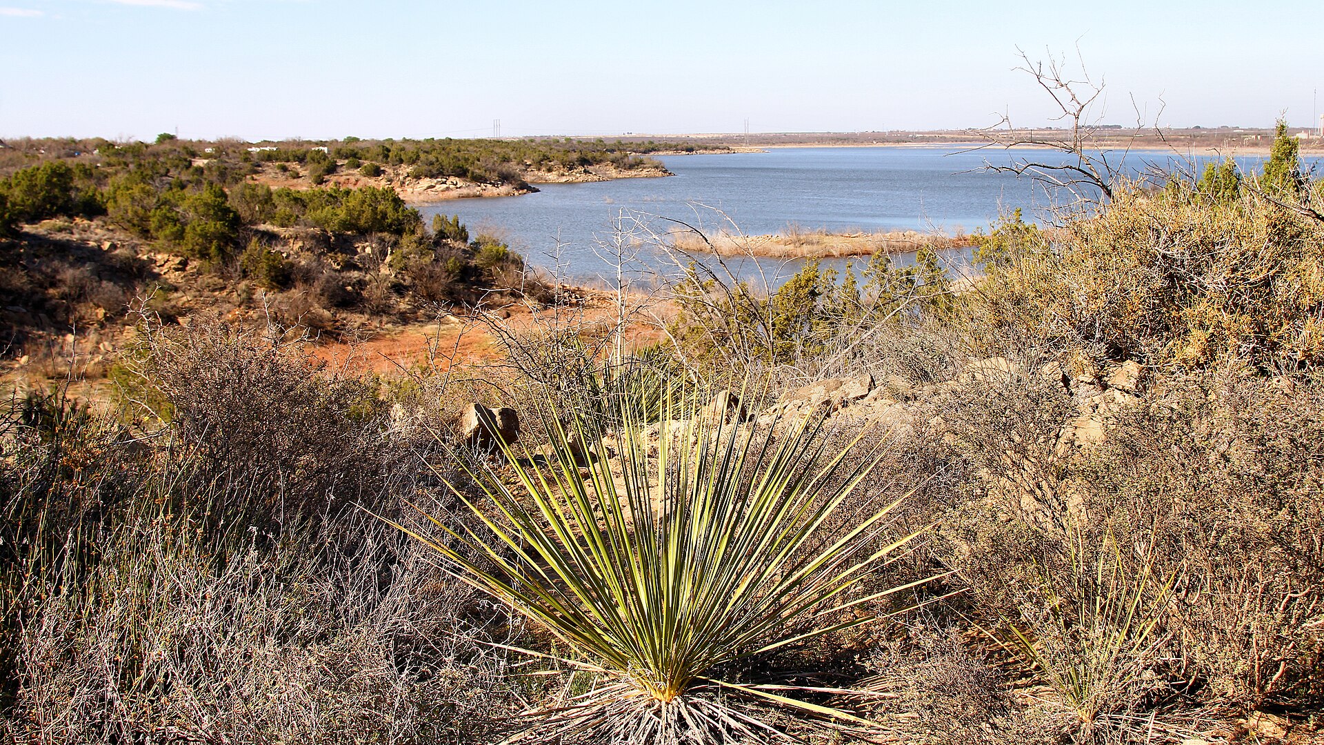
Lake Colorado City State Park

A quiet West Texas reservoir park near Colorado City with fishing, boating, camping and open prairie-and-mesquite scenery under big skies.

Best season: Fall through spring; summer heat can be intenseUpdated Oct 2026
  • Lake Colorado City
  • Fishing and boating
  • Open West Texas scenery
Explore this place
Check current drive from San Angelo ↗

About 67 geographic miles

Sonora

Sonora · Sutton County

Caverns of Sonora

A highly decorated show cave 15 miles southwest of Sonora where intimate guided tours descend through crystal-rich limestone passages, dense speleothems and warm, humid rooms 155 feet below the surface.

Best season: Year-round; the cavern stays about 72°F with roughly 98% humidityUpdated Sep 2026
  • Crystal Palace guided tour
  • Dense crystal formations and helictites
  • Discovery Challenge adventure caving
Explore this place
Check current drive from San Angelo ↗

About 67 geographic miles

Buffalo Gap

Buffalo Gap · Taylor County

Buffalo Gap Historic Village

An authentic collection of historic West Texas buildings in Buffalo Gap centered on Taylor County's original 1880 courthouse, with cabins, school, depot, bank, shops and artifacts interpreting frontier life from roughly 1875 to 1925.

Best season: Fall through spring for comfortable outdoor walking between buildings; summer visits are best planned for cooler parts of the dayUpdated Oct 2026
  • Original 1880 Taylor County courthouse
  • More than 15 historic frontier buildings
  • Period rooms, artifacts and historic maps
Explore this place
Check current drive from San Angelo ↗

About 69 geographic miles

Brady

Brady · McCulloch County

Brady

Brady is the McCulloch County seat and self-styled True Heart of Texas, pairing a landmark 1900 courthouse with central-Texas ranching heritage, Brady Lake recreation and a compact downtown that works as a practical stop between the Hill Country and western Texas.

Best season: Fall through spring for courthouse and downtown exploring; spring for wildflowers; warm months for Brady Lake when heat and water conditions are suitableUpdated Sep 2026
  • McCulloch County Courthouse
  • True Heart of Texas identity
  • Brady Lake
Explore this place
Check current drive from San Angelo ↗

About 69 geographic miles

Sweetwater

Sweetwater · Nolan County

National WASP WWII Museum

A Sweetwater museum at historic Avenger Field preserving the Women Airforce Service Pilots who trained here during World War II.

Updated Aug 2026
  • Women Airforce Service Pilots
  • Avenger Field
  • World War II aviation
Explore this place
Check current drive from San Angelo ↗

About 78 geographic miles

Junction

Junction · Kimble County

Junction

Junction is a Kimble County river town where the North and South Llano meet, combining a compact county-seat core with paddling, tubing, fishing, birding, dark skies, Lovers Leap overlooks and South Llano River State Park just south of town.

Best season: Spring through early fall for river recreation; fall through spring for hiking, birding, dark skies and cooler scenic drivesUpdated Sep 2026
  • South Llano River
  • North Llano River
  • South Llano River State Park
Explore this place
Check current drive from San Angelo ↗

About 79 geographic miles

Abilene

Abilene · Taylor County

The Grace Museum

The Grace Museum in downtown Abilene occupies the historic 1909 Hotel Grace and combines art, regional history, children's learning and community exhibitions in one of West-Central Texas's major cultural institutions.

Updated Oct 2026
  • Historic Hotel Grace
  • Texas art
  • Regional history
Explore this place
Check current drive from San Angelo ↗

About 80 geographic miles

Junction

Junction · Kimble County

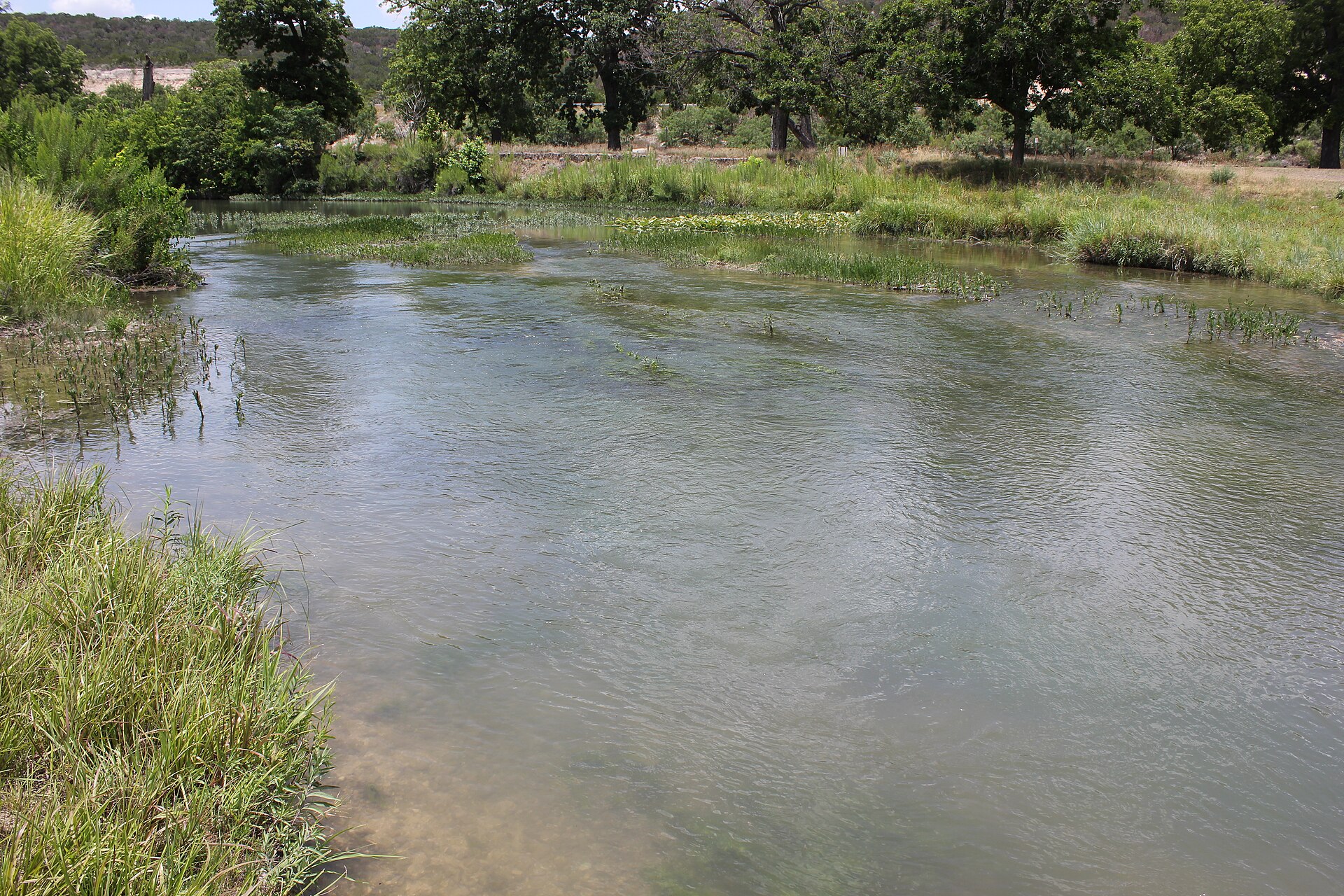
South Llano River State Park

A clear-river Hill Country park near Junction where swimming, tubing, paddling, turkey habitat, pecan bottomlands and miles of trails come together along the spring-fed South Llano River.

Best season: Spring and fall for trails and river weather; summer for swimming and tubing with heat precautionsUpdated Sep 2026
  • South Llano River swimming and tubing
  • Multiple tuber put-in and take-out points
  • Paddling on the spring-fed river
Explore this place
Check current drive from San Angelo ↗

About 80 geographic miles

Abilene

Abilene · Taylor County

Frontier Texas!

A downtown Abilene western-heritage museum and visitor center that interprets Central West Texas frontier history with immersive exhibits while serving as the official visitor center for Abilene and the Texas Forts Trail Region.

Best season: Year-round indoor attraction; especially useful during summer heat or cold and windy West Texas weatherUpdated Oct 2026
  • Central West Texas frontier interpretation
  • Immersive Old West exhibits
  • Official Abilene visitor center
Explore this place
Check current drive from San Angelo ↗

Longer day trip

16 full TexasDefined guides in this geographic band

About 82 geographic miles

Big Spring

Big Spring · Howard County

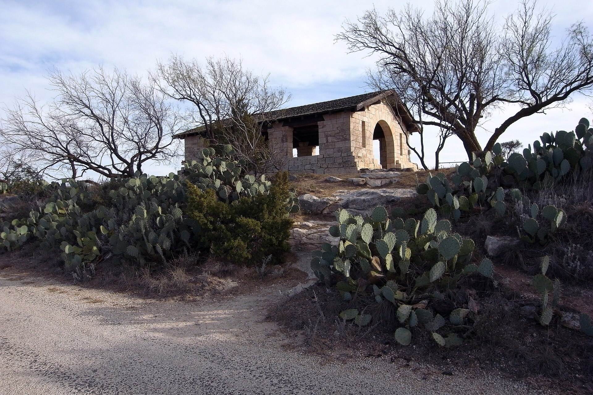
Big Spring State Park

A compact West Texas park atop Scenic Mountain, where a CCC-built loop road and overlooks provide broad views across Big Spring and the surrounding plains.

Best season: Fall through spring; sunrise and sunset are especially rewarding
  • Scenic Mountain overlooks
  • CCC-built loop road and stonework
  • Sunrise and sunset views
Explore this place
Check current drive from San Angelo ↗

About 87 geographic miles

Mason

Mason · Mason County

Mason

Mason is a western Hill Country courthouse town where restored civic architecture, Fort Mason history, German-Texan roots, nearby river country and wide-open dark skies create a quieter heritage-and-outdoors alternative to busier regional destinations.

Best season: Fall through spring for walking, scenic driving and outdoor history; summer works best with morning activities and evening stargazing rather than long exposed midday stopsUpdated Sep 2026
  • Mason County Courthouse
  • Fort Mason history
  • historic square
Explore this place
Check current drive from San Angelo ↗

About 87 geographic miles

Brownwood

Brownwood · Brown County

Lake Brownwood State Park

A historic CCC park on Lake Brownwood with stone architecture, wooded shoreline, fishing, paddling and cabins that preserve the feel of early Texas state-park recreation.

Best season: Fall through spring for camping and trails; summer for lake activitiesUpdated Oct 2026
  • Historic Civilian Conservation Corps architecture
  • Nearly six miles of hiking with 2.9-mile Nopales Ridge bike route
  • 7,300-acre Lake Brownwood fishing, swimming and boating
Explore this place
Check current drive from San Angelo ↗

About 92 geographic miles

Sheffield

Sheffield · Crockett County

Fort Lancaster State Historic Site

Established in 1855, Fort Lancaster protected a strategic overland route linking San Antonio and El Paso across West Texas. The isolated ruins make the scale, distance and logistical difficulty of 19th-century travel across the Edwards Plateau immediately understandable.

Best season: Year-round; spring and fall are usually the most comfortable for outdoor portions of a visit.Updated Oct 2026
  • frontier forts
  • San Antonio-El Paso road
  • West Texas
Explore this place
Check current drive from San Angelo ↗

About 93 geographic miles

Abilene

Abilene · Jones County

Fort Phantom Hill

A preserved U.S. Army frontier-post site north of Abilene where three original stone buildings, chimneys and foundations survive from a post occupied from 1851 to 1854 and now form one of the signature stops on the Texas Forts Trail.

Best season: Fall through spring for comfortable walking across the exposed historic site; summer visits are best early or late in the dayUpdated Oct 2026
  • Original stone powder magazine and guardhouse
  • Historic chimneys and building foundations
  • 1851–1854 U.S. Army frontier-post history
Explore this place
Check current drive from San Angelo ↗

About 94 geographic miles

Goldthwaite

Goldthwaite · Mills County

Regency Suspension Bridge

One of Texas's great rural bridge survivors, the 1939 Regency Suspension Bridge spans the Colorado River between Mills and San Saba counties. Its hand-built steel-cable design, New Deal-era community labor, 1976 National Register listing and 2019 Recorded Texas Historic Landmark designation make it an essential transportation-history landmark—but bridge traffic status and weight limits require a current local check.

Best season: A clear, dry day is safest for rural-road interpretation. Colorado River flooding, muddy approaches and storm-related bridge inspections can change access unexpectedly.Updated Oct 2026
  • 340-foot suspension span over the Colorado River at Regency
  • Austin Bridge Company of Dallas completed the current crossing in October 1939
  • Two steel suspension cables made from bundles of 475 galvanized wires each
Explore this place
Check current drive from San Angelo ↗

About 101 geographic miles

Rocksprings

Rocksprings · Edwards County

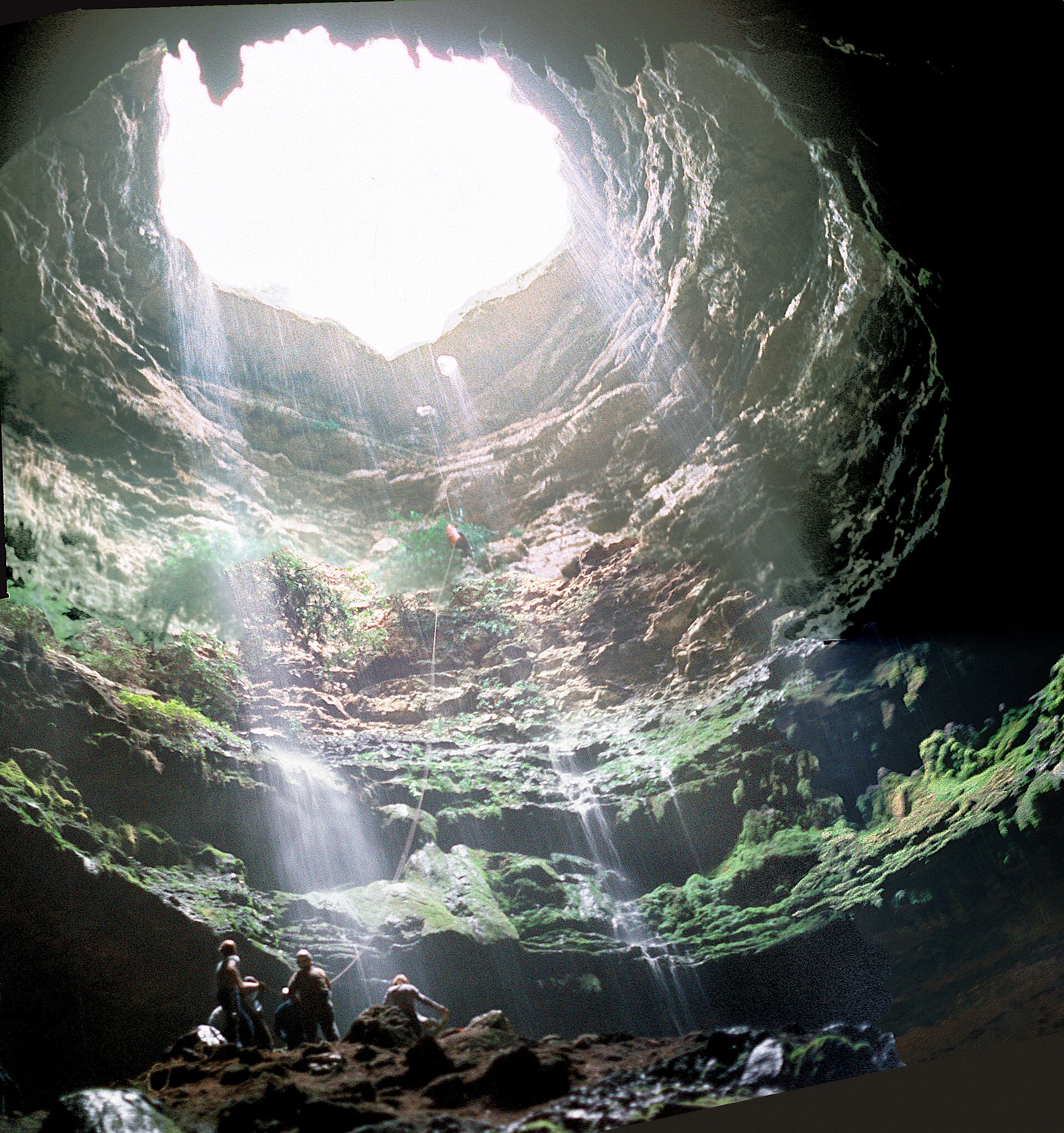
Devil's Sinkhole State Natural Area

A protected limestone sinkhole near Rocksprings accessible only on reserved guided tours, with summer bat flights, an accessible viewing platform and mandatory downtown visitor-center check-in.

Best season: May to October for scheduled bat emergence tours; other guided walks and programs have separate seasonal hours.Updated Oct 2026
  • Reserved guided bat-flight programs, usually May 1 through October 31
  • Wheelchair-accessible cavern-edge observation platform
  • National Natural Landmark and protected bat colony
Explore this place
Check current drive from San Angelo ↗

About 101 geographic miles

Rocksprings

Rocksprings · Edwards County

Rocksprings

Rocksprings is an Edwards Plateau courthouse town best known as the required departure point for Devil's Sinkhole State Natural Area, where reservation-only tours lead to a National Natural Landmark cave and one of Texas' largest seasonal Mexican free-tailed bat colonies.

Best season: Late spring through early fall for seasonal bat flights; fall through spring for quieter plateau drives and courthouse-town explorationUpdated Sep 2026
  • Devil's Sinkhole visitor center
  • seasonal bat flights
  • Edwards County Courthouse
Explore this place
Check current drive from San Angelo ↗

About 103 geographic miles

San Saba

San Saba · San Saba County

San Saba

San Saba is a northern Edwards Plateau town known as the Pecan Capital of the World, combining a historic downtown, city-run visitor center, pecan heritage, Mill Pond Park, San Saba River green space, suspension bridges and an unusually strong municipal parks network.

Best season: Fall through spring for downtown, pecan-country and parks; warm months for water-oriented recreation when flood recovery and heat conditions allowUpdated Sep 2026
  • historic downtown walking tour
  • pecan heritage
  • Mill Pond Park
Explore this place
Check current drive from San Angelo ↗

About 103 geographic miles

Midland

Midland · Midland County

Bush Family Home State Historic Site

The Midland home preserves the West Texas years of a family that would produce presidents, governors, a vice president and two first and second ladies. The house gives presidential history a domestic West Texas setting and helps explain how Midland's postwar boom shaped the Bush family's early years.

Best season: Year-round; spring and fall are usually the most comfortable for outdoor portions of a visit.Updated Oct 2026
  • presidential history
  • Midland
  • 20th-century Texas
Explore this place
Check current drive from San Angelo ↗

About 111 geographic miles

Del Rio

Del Rio · Val Verde County

Devils River State Natural Area

A remote, exceptionally clear spring-fed river natural area in Southwest Texas with two reservation-only units—Del Norte and Dan A. Hughes—protecting rugged limestone canyon country and primitive backcountry access.

Best season: Spring and fall for cooler backcountry travel; summer heat is severeUpdated Aug 2026
  • Del Norte Unit
  • Dan A. Hughes Unit
  • Clear spring-fed Devils River
Explore this place
Check current drive from San Angelo ↗

About 112 geographic miles

Comanche

Comanche · Comanche County

Comanche

Comanche is a north-central Texas county seat with a courthouse-centered downtown, a restored depot visitor center, local-history museums and direct access to Proctor Lake, giving travelers a compact heritage stop with a substantial outdoor second half.

Best season: Fall through spring for downtown and museum visits; spring through early fall for Proctor Lake when weather, water and wind conditions are suitableUpdated Sep 2026
  • Comanche County Courthouse
  • historic downtown
  • Comanche-Frisco Train Depot visitor center
Explore this place
Check current drive from San Angelo ↗

About 115 geographic miles

Llano

Llano · Llano County

Llano

Llano is a Hill Country river town where a pink-granite courthouse, historic commercial district, the Llano River, barbecue and direct access to the region's granite-and-lake landscape create an easy outdoor-and-food weekend.

Best season: Fall through spring for downtown and regional hiking; late spring through early fall for river recreation when conditions are safe, with summer activities best timed for cooler hoursUpdated Sep 2026
  • Llano County Courthouse
  • Llano River
  • historic district
Explore this place
Check current drive from San Angelo ↗

About 116 geographic miles

Fredericksburg

Fredericksburg · Gillespie County

Enchanted Rock State Natural Area

A massive pink-granite dome north of Fredericksburg with nearly 21 miles of hiking, a famous summit climb, rock climbing, stargazing and a newly opened backcountry trail system.

Best season: Fall through spring for cooler hiking; summer heat and exposed granite can be intense
  • Summit Trail to broad Hill Country views from the granite dome
  • Nearly 21 miles of hiking trails, including new backcountry routes
  • Rock climbing and bouldering with required check-in at headquarters
Explore this place
Check current drive from San Angelo ↗

About 120 geographic miles

Bend

Bend · San Saba County

Gorman Cave

A protected limestone cave beside the Colorado River in Colorado Bend State Park, where visitors can view part of the entrance area from the River Trail while a bat-friendly gate protects the cave interior and its roosting myotis bats.

Best season: Fall through spring for comfortable hiking; check Colorado Bend State Park alerts before visitingUpdated Sep 2026
  • Public view of part of Gorman Cave from the River Trail
  • Important cave-myotis bat roost protected by a bat-friendly gate
  • Colorado River and karst landscape inside Colorado Bend State Park
Explore this place
Check current drive from San Angelo ↗

About 122 geographic miles

Bend

Bend · San Saba County

Colorado Bend State Park

A rugged Colorado River park northwest of Austin with 70-foot Gorman Falls, spring-fed pools, cave tours and more than 35 miles of hike-and-bike trails through limestone canyon country.

Best season: Fall through spring for hiking; spring flow and recent rainfall can affect waterfalls and poolsUpdated Oct 2026
  • Gorman Falls: protected fragile travertine, no swimming or climbing
  • Spicewood Springs: separate designated swimming area
  • Backcountry and riverside campground equipment limits
Explore this place
Check current drive from San Angelo ↗

Before you go

Use geography as a shortlist, then check the real route.

TexasDefined uses location data to make the statewide catalog easier to search. Open the current driving route for the places you are considering, then verify opening hours, reservations, park alerts, water conditions and weather with the current official source.