Skip to content

Concho Valley · State parks

State Parks Near San Angelo, Texas

Texas state parks ordered by geographic proximity, with each park linked to its full TexasDefined visitor guide.

Source-backed options14

Distance windowUp to 150 straight-line miles

OrderingGeographic distance

Straight-line distances are screening estimates from central San Angelo. They are not road miles or drive-time promises. Use the “Check current drive” links in the map and guide sections below for current Google Maps routing, road mileage and travel-time estimates.

Map & routes

Find it on the map and compare routes

Close to the metro

1 full TexasDefined guide in this geographic band

About 4 geographic miles

San Angelo

San Angelo · Tom Green County

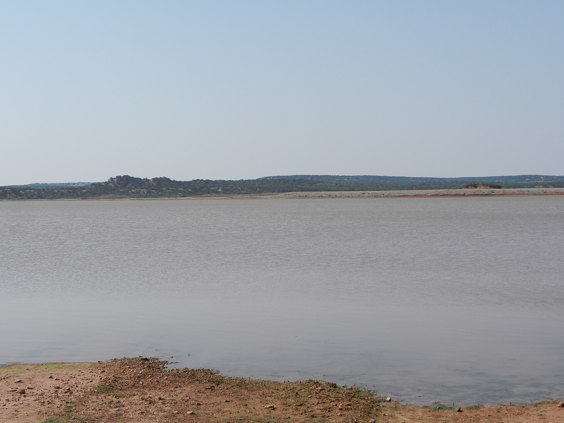
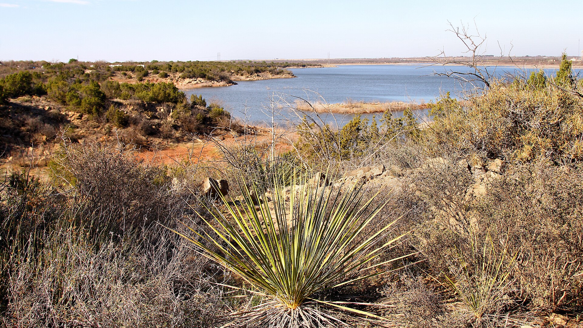
San Angelo State Park

A large Concho Valley park on O.C. Fisher Reservoir with miles of hiking, biking and equestrian trails, wildlife habitat and a landscape tied to the official Texas State Longhorn Herd.

Best season: Fall through spring; summer heat can be severe
  • Extensive hiking, biking and equestrian trails
  • Texas State Longhorn Herd connection
  • O.C. Fisher Reservoir
Explore this place
Check current drive from San Angelo ↗

Easy day-trip range

2 full TexasDefined guides in this geographic band

About 63 geographic miles

Abilene

Abilene · Taylor County

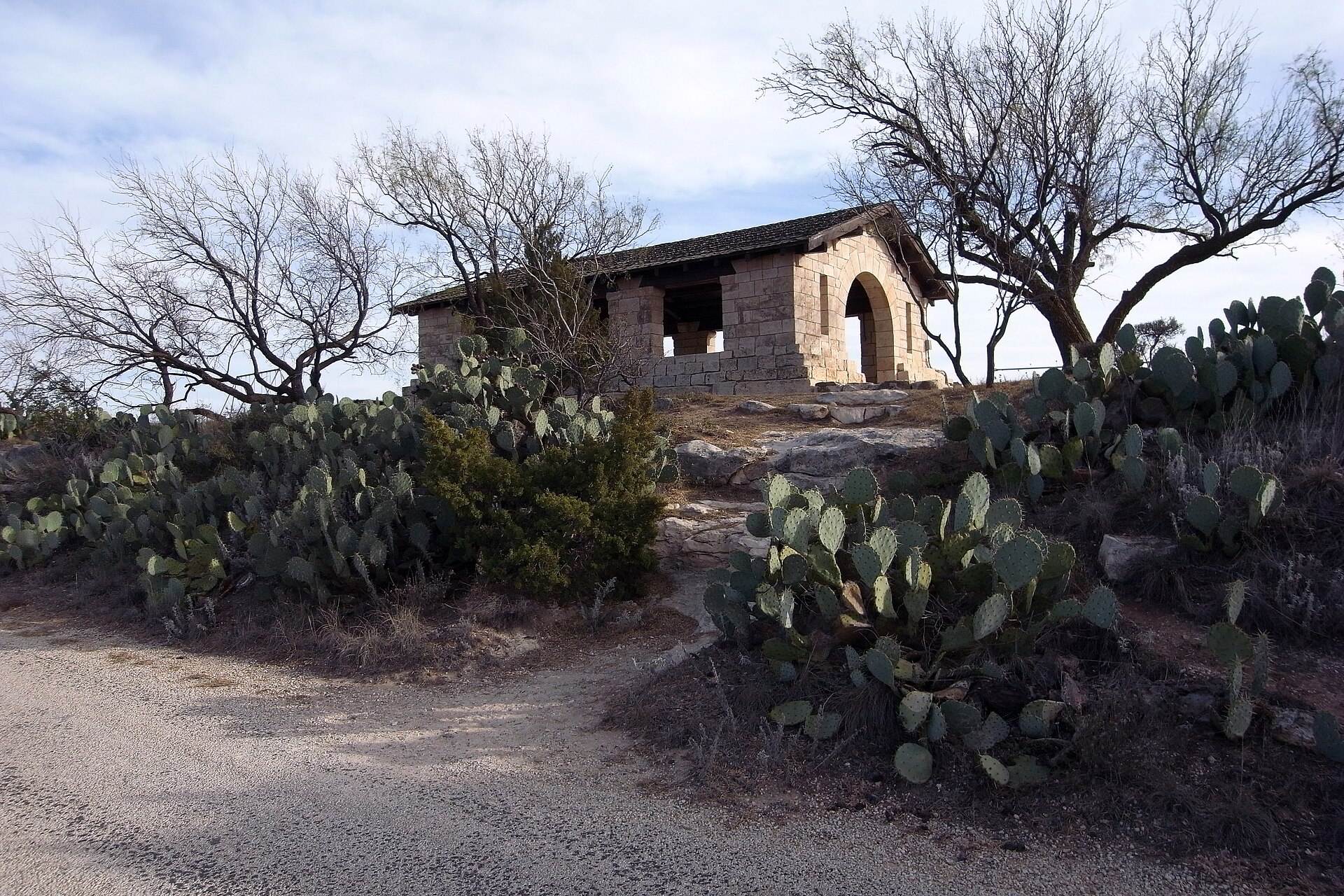
Abilene State Park

A shady West Texas park south of Abilene where pecan, elm and oak trees surround historic CCC structures, camping and a swimming pool near Lake Abilene.

Best season: Fall through spring for camping and trails; pool operations are seasonalUpdated Oct 2026
  • Historic CCC structures and shaded campground trails
  • Park swimming pool closed for renovations—not a currently bookable pool outing
  • Lake Abilene restrictions: no fishing, swimming, ramps or kayak rental
Explore this place
Check current drive from San Angelo ↗

About 66 geographic miles

Colorado City

Colorado City · Mitchell County

Lake Colorado City State Park

A quiet West Texas reservoir park near Colorado City with fishing, boating, camping and open prairie-and-mesquite scenery under big skies.

Best season: Fall through spring; summer heat can be intenseUpdated Oct 2026
  • Lake Colorado City
  • Fishing and boating
  • Open West Texas scenery
Explore this place
Check current drive from San Angelo ↗

Longer day trip

11 full TexasDefined guides in this geographic band

About 82 geographic miles

Big Spring

Big Spring · Howard County

Big Spring State Park

A compact West Texas park atop Scenic Mountain, where a CCC-built loop road and overlooks provide broad views across Big Spring and the surrounding plains.

Best season: Fall through spring; sunrise and sunset are especially rewarding
  • Scenic Mountain overlooks
  • CCC-built loop road and stonework
  • Sunrise and sunset views
Explore this place
Check current drive from San Angelo ↗

About 87 geographic miles

Brownwood

Brownwood · Brown County

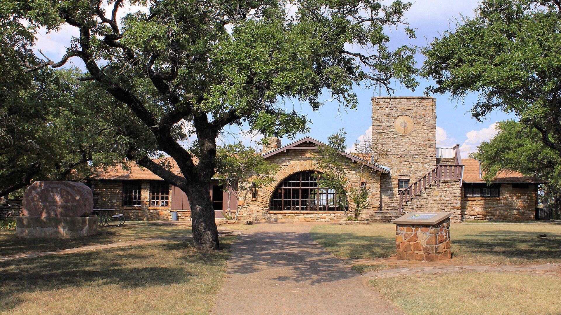
Lake Brownwood State Park

A historic CCC park on Lake Brownwood with stone architecture, wooded shoreline, fishing, paddling and cabins that preserve the feel of early Texas state-park recreation.

Best season: Fall through spring for camping and trails; summer for lake activitiesUpdated Oct 2026
  • Historic Civilian Conservation Corps architecture
  • Nearly six miles of hiking with 2.9-mile Nopales Ridge bike route
  • 7,300-acre Lake Brownwood fishing, swimming and boating
Explore this place
Check current drive from San Angelo ↗

About 116 geographic miles

Fredericksburg

Fredericksburg · Gillespie County

Enchanted Rock State Natural Area

A massive pink-granite dome north of Fredericksburg with nearly 21 miles of hiking, a famous summit climb, rock climbing, stargazing and a newly opened backcountry trail system.

Best season: Fall through spring for cooler hiking; summer heat and exposed granite can be intense
  • Summit Trail to broad Hill Country views from the granite dome
  • Nearly 21 miles of hiking trails, including new backcountry routes
  • Rock climbing and bouldering with required check-in at headquarters
Explore this place
Check current drive from San Angelo ↗

About 122 geographic miles

Bend

Bend · San Saba County

Colorado Bend State Park

A rugged Colorado River park northwest of Austin with 70-foot Gorman Falls, spring-fed pools, cave tours and more than 35 miles of hike-and-bike trails through limestone canyon country.

Best season: Fall through spring for hiking; spring flow and recent rainfall can affect waterfalls and poolsUpdated Oct 2026
  • Gorman Falls: protected fragile travertine, no swimming or climbing
  • Spicewood Springs: separate designated swimming area
  • Backcountry and riverside campground equipment limits
Explore this place
Check current drive from San Angelo ↗

About 132 geographic miles

Burnet

Burnet · Burnet County

Inks Lake State Park

A constant-level Highland Lakes park northwest of Austin with pink granite outcrops, more than 12 miles of trails and the popular Devil’s Waterhole swimming and paddling area.

Best season: Spring through fall for water activities; cooler months are excellent for hiking and campingUpdated Oct 2026
  • Inks Lake swimming, paddling and shoreline recreation
  • Devils Waterhole and mapped Hill Country hiking
  • Developed campsites with distinct electrical and vehicle restrictions
Explore this place
Check current drive from San Angelo ↗

About 133 geographic miles

Comstock

Comstock · Val Verde County

Seminole Canyon State Park & Historic Site

Explore Lower Pecos canyon country west of Comstock, with ancient rock-art context, ranger-led access to cultural sites, desert hiking and striking limestone overlooks.

Best season: Winter through early spring is the busy season; cooler weather is better for exposed canyon hiking.Updated Oct 2026
  • Lower Pecos canyon and Indigenous rock-art heritage
  • Fate Bell Shelter guided interpretation
  • Official park and trails maps
Explore this place
Check current drive from San Angelo ↗

About 133 geographic miles

Strawn

Strawn · Palo Pinto County

Palo Pinto Mountains State Park

Texas' newest state park opened to visitors in 2026 near Strawn. Plan Tucker Lake outings, rugged Cross Timbers hikes, accessible trails, camping and stargazing with the correct entrance and park-specific facilities.

Best season: Spring and fall for walking and wildlife; watch heat during summer, and avoid wet-condition trail closures after rain.Updated Oct 2026
  • 4,871 acres of former North Texas ranch land opened to visitors in 2026
  • 90-acre Tucker Lake, accessible kayak/canoe launch and fishing pier
  • 16 miles of multiuse trails, including 1.25 miles of accessible trails
Explore this place
Check current drive from San Angelo ↗

About 136 geographic miles

Concan

Concan · Uvalde County

Garner State Park

A Hill Country favorite on the Frio River, where limestone hills, cypress-lined water, Old Baldy and the park’s long-running summer dances make the destination as social as it is scenic.

Best season: Late spring through early fall for river time; fall and winter are quieter for hiking
  • Frio River swimming, tubing and paddling beneath bald cypress trees
  • Old Baldy and Hill Country overlooks above the river valley
  • Summer evening dances, a Garner tradition dating back generations
Explore this place
Check current drive from San Angelo ↗

About 140 geographic miles

Monahans

Monahans · Ward County

Monahans Sandhills State Park

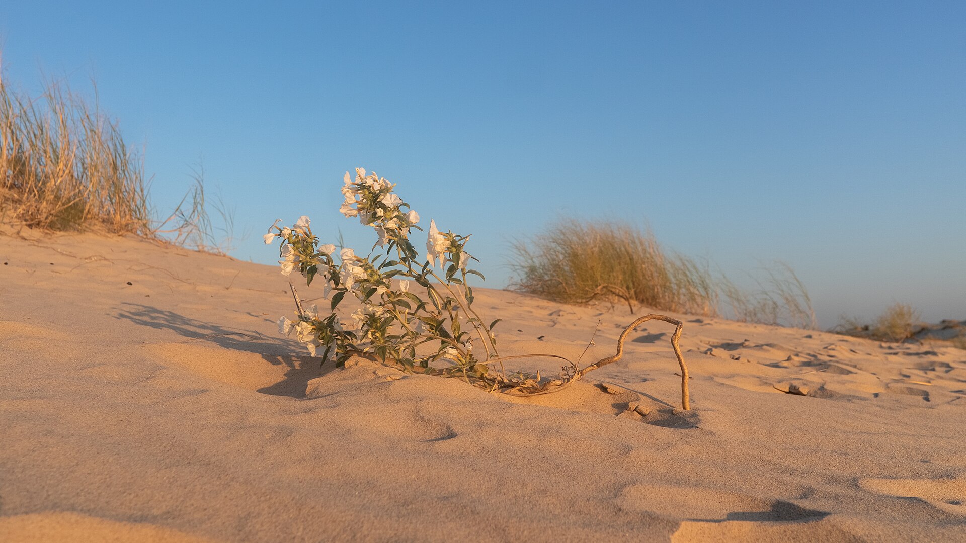
A West Texas field of wind-shaped dunes where visitors can roam without marked trails, rent sand discs, camp beneath wide skies and watch the landscape change after every strong wind.

Best season: Fall through spring for comfortable dune exploration; summer sand and air temperatures can be extreme
  • Open dune field shaped constantly by West Texas wind
  • Sand-disc rentals for sledding the dunes
  • No fixed trails, allowing free exploration across the sand
Explore this place
Check current drive from San Angelo ↗

About 147 geographic miles

Caddo

Caddo · Palo Pinto County

Possum Kingdom State Park

A rugged lake park west of Fort Worth on Possum Kingdom Reservoir, with clear-water swimming, boating, fishing and camping beneath the limestone breaks of the Brazos River country.

Best season: Spring through fall for lake recreation; cooler months for camping and fishingUpdated Oct 2026
  • Possum Kingdom Lake swimming
  • Boating and fishing
  • Limestone Brazos River scenery
Explore this place
Check current drive from San Angelo ↗

About 147 geographic miles

Bandera

Bandera · Bandera County

Hill Country State Natural Area

A rugged backcountry natural area southwest of Bandera with 40 miles of hiking and equestrian routes, primitive creekside and remote camping, and hillside overlooks that require careful trail-and-water planning.

Best season: Spring and fall are typically most comfortable for walking, riding and primitive camping; the open Hill Country landscape can be exposed to summer heat.Updated Oct 2026
  • 40 miles of multiuse trails on rugged former ranchland
  • West Verde Creek and Comanche Bluff walk-in campsites with nearby toilets
  • Butterfly Springs, Hermit's Shack and Wilderness hike-in camps without water
Explore this place
Check current drive from San Angelo ↗

Before you go

Use geography as a shortlist, then check the real route.

TexasDefined uses location data to make the statewide catalog easier to search. Open the current driving route for the places you are considering, then verify opening hours, reservations, park alerts, water conditions and weather with the current official source.