Skip to content

Rio Grande Valley · Road trips

Road Trips From McAllen, Texas

Route anchors for scenic drives and multi-stop Texas trips, emphasizing towns, parks, water, history and dedicated road-trip destinations.

Source-backed options30

Distance window25–220 straight-line miles

OrderingGeographic distance

Straight-line distances are screening estimates from central McAllen. They are not road miles or drive-time promises. Use the “Check current drive” links in the map and guide sections below for current Google Maps routing, road mileage and travel-time estimates.

Map & routes

Find it on the map and compare routes

Close to the metro

1 full TexasDefined guide in this geographic band

About 33 geographic miles

Harlingen

Harlingen · Cameron County

Iwo Jima Museum and Monument

The monument and museum commemorate the Marines associated with the famous flag-raising on Mount Suribachi during the 1945 Battle of Iwo Jima. The site links the Rio Grande Valley to one of World War II's most recognizable images and to the military training history of South Texas.

Updated Aug 2026
  • World War II
  • U.S. Marines
  • Rio Grande Valley
Explore this place
Check current drive from McAllen ↗

Easy day-trip range

8 full TexasDefined guides in this geographic band

About 43 geographic miles

Brownsville

Brownsville · Cameron County

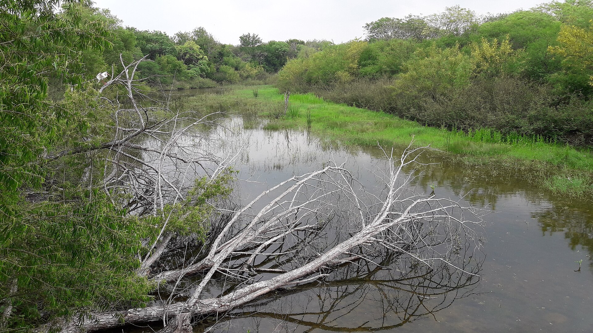
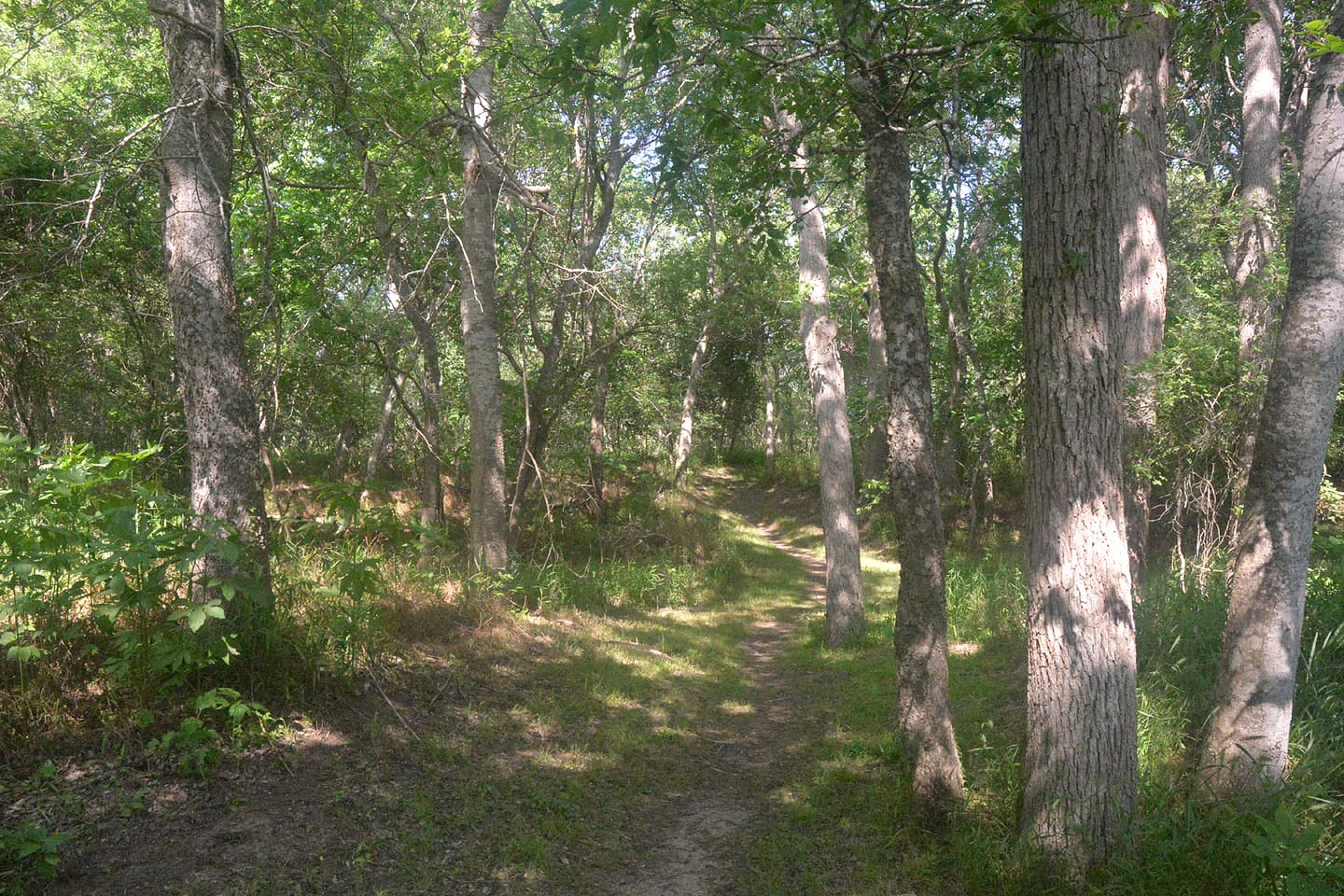
Resaca de la Palma State Park

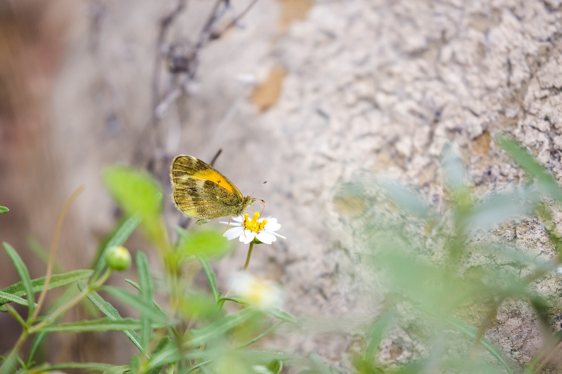
Resaca de la Palma State Park near Brownsville protects one of the Valley's largest native habitat tracts, with former Rio Grande channels, woodland trails, resaca overlooks, butterfly habitat and car-free birding.

Best season: Fall through spring for cooler trails and bird migration; summer visits require early starts and serious heat precautions.Updated Oct 2026
  • Native resaca woodland and South Texas thornscrub
  • More than eight miles of trails
  • Four wildlife-viewing decks overlooking resacas
Explore this place
Check current drive from McAllen ↗

About 48 geographic miles

Brownsville

Brownsville · Cameron County

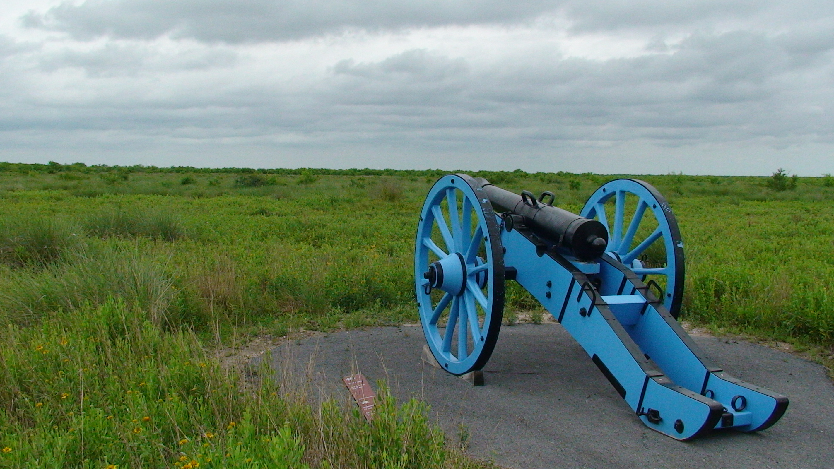
Palo Alto Battlefield National Historical Park

Walk the preserved South Texas battlefield where U.S. and Mexican armies fought on May 8, 1846, with separate visitor-center hours and interpretation of the contested border and war from both nations' perspectives.

Best season: November through May offers milder South Texas weather; check current park conditions before visiting.Updated Oct 2026
  • First major U.S.–Mexican War battlefield landscape (May 8, 1846)
  • Exhibits interpreting U.S. and Mexican military perspectives
  • Separate grounds, walking-trail and visitor-center schedules
Explore this place
Check current drive from McAllen ↗

About 50 geographic miles

Brownsville

Brownsville · Cameron County

Historic Brownsville Museum

The Historic Brownsville Museum occupies the restored 1928 Southern Pacific Railroad Depot and interprets the founding and development of Brownsville through local-history exhibits, a rare 1872 Rio Grande Railroad locomotive and an adjoining education center.

Updated Aug 2026
  • 1928 Southern Pacific Railroad Depot
  • 1872 Rio Grande Railroad locomotive
  • Brownsville founding history
Explore this place
Check current drive from McAllen ↗

About 62 geographic miles

Brownsville

Brownsville · Cameron County

Palmito Ranch Battlefield

Palmito Ranch is associated with the final land battle of the American Civil War, fought near the Rio Grande in May 1865. The remote battlefield is best approached as a landscape-history stop that explains why fighting continued in Texas after major Confederate armies had surrendered elsewhere.

Best season: Year-round; spring and fall are usually the most comfortable for outdoor portions of a visit.Updated Oct 2026
  • Civil War
  • battlefields
  • Rio Grande
Explore this place
Check current drive from McAllen ↗

About 62 geographic miles

Falcon Heights

Falcon Heights · Starr County

Falcon State Park

Falcon State Park on Falcon International Reservoir in South Texas pairs lake fishing and camping with dry-brush birding, butterfly habitat and the history of the Rio Grande dam near Roma.

Best season: Fall and winter for milder weather and brush-country birding; fishing and camping require attention to current heat and lake levels year-round.Updated Oct 2026
  • Falcon International Reservoir fishing and boat access
  • Dry-brush birding and tropical South Texas species
  • Camping, cabins and screened shelters
Explore this place
Check current drive from McAllen ↗

About 64 geographic miles

Port Isabel

Port Isabel · Cameron County

Port Isabel Lighthouse State Historic Site

Texas' only lighthouse open to the public, an 1852 brick tower in Port Isabel where 75 winding stairs and short ladders lead to coastal views toward South Padre Island and a restored third-order Fresnel lens.

Best season: Fall through spring for mild coastal weather; summer offers extended hours but greater heat and storm riskUpdated Oct 2026
  • Climb Texas' only publicly accessible lighthouse
  • Third-order Fresnel lens illuminated again since 2022
  • Views toward South Padre Island and Laguna Madre
Explore this place
Check current drive from McAllen ↗

About 64 geographic miles

Port Isabel

Port Isabel · Cameron County

Port Isabel

Port Isabel is a Lower Laguna Madre coastal town anchored by the historic 1852 lighthouse, a walkable town square, maritime museums, fishing access and the Queen Isabella Causeway connection to South Padre Island.

Best season: Fall through spring for mild coastal touring; summer for fishing and beach-region trips with heat, storms and lighthouse weather closures consideredUpdated Sep 2026
  • Port Isabel Lighthouse
  • Lower Laguna Madre
  • historic museums
Explore this place
Check current drive from McAllen ↗

About 64 geographic miles

Port Isabel

Port Isabel · Cameron County

Port Isabel Historical Museum

The Port Isabel Historical Museum occupies the 1899 Champion Building and interprets the Laguna Madre area's maritime, border and community history beneath the building's distinctive early twentieth-century fish mural.

Updated Oct 2026
  • 1899 Champion Building
  • Laguna Madre history
  • 1906 fish mural
Explore this place
Check current drive from McAllen ↗

Longer day trip

21 full TexasDefined guides in this geographic band

About 80 geographic miles

Zapata

Zapata · Zapata County

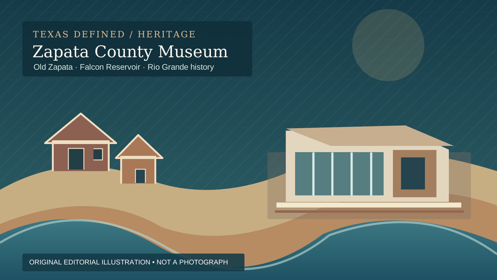
Zapata County Museum of History

Visit Zapata County Museum of History in South Texas for the story of Old Zapata's relocation, Falcon Dam and the Rio Grande borderlands, plus exhibits on energy, wildlife, military service, geology and religious heritage.

Updated Oct 2026
  • Old Zapata relocation and the construction of Falcon Reservoir
  • Ranching, trade and communities along the Rio Grande
  • Oil-and-gas geology and regional energy development
Explore this place
Check current drive from McAllen ↗

About 119 geographic miles

Laredo

Laredo · Webb County

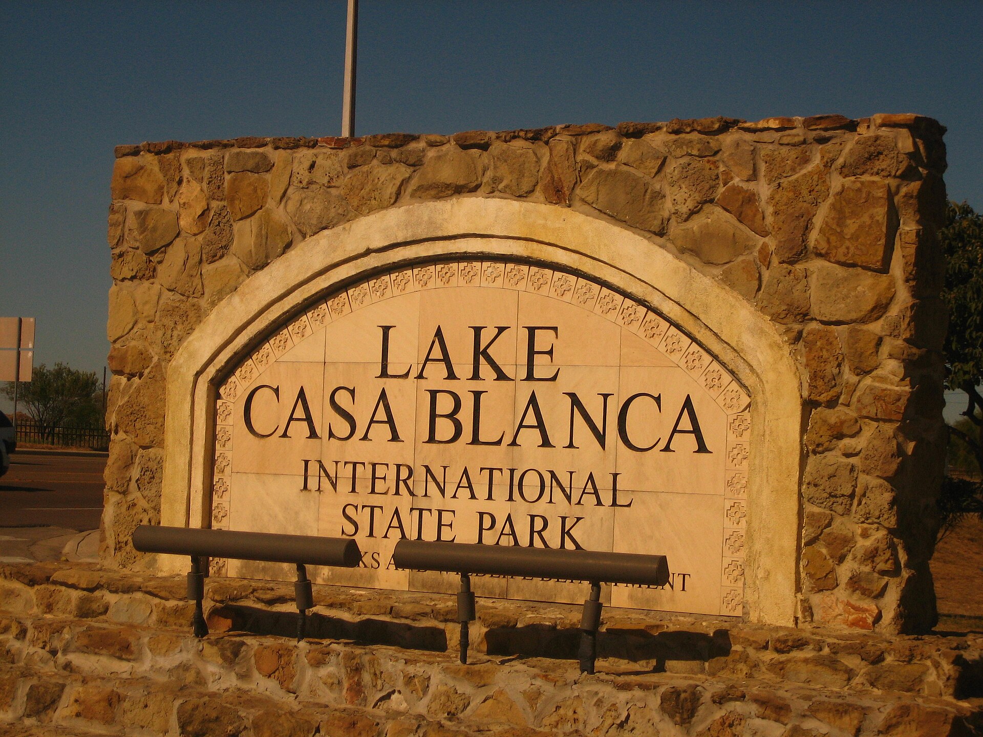
Lake Casa Blanca International State Park

A Laredo lake park on the edge of the South Texas brush country, offering fishing, paddling, swimming, camping and an accessible outdoor stop close to the city.

Best season: Fall through spring; summer requires strong heat precautionsUpdated Oct 2026
  • Lake Casa Blanca fishing
  • Paddling and boating
  • Swimming and lakeside picnics
Explore this place
Check current drive from McAllen ↗

About 122 geographic miles

Corpus Christi

Corpus Christi · Nueces County

Corpus Christi Museum of Science and History

The Corpus Christi Museum of Science and History combines South Texas cultural history, coastal ecology, archaeology and hands-on science in the city's S.E.A. District near the harbor.

Updated Aug 2026
  • Science and South Texas history
  • Coastal ecology
  • Archaeology
Explore this place
Check current drive from McAllen ↗

About 122 geographic miles

Corpus Christi

Corpus Christi · Nueces County

Art Museum of South Texas

The Art Museum of South Texas overlooks Corpus Christi Bay with collections and changing exhibitions emphasizing art of the Americas, Texas and the region inside landmark buildings associated with architects Philip Johnson and Ricardo Legorreta.

Updated Aug 2026
  • Art of Texas and the Americas
  • Corpus Christi Bayfront
  • Philip Johnson and Ricardo Legorreta architecture
Explore this place
Check current drive from McAllen ↗

About 123 geographic miles

Corpus Christi

Corpus Christi · Nueces County

USS Lexington Museum

The World War II Essex-class aircraft carrier USS Lexington (CV-16), preserved on Corpus Christi's North Beach as a National Historic Landmark and aviation museum.

Updated Oct 2026
  • World War II aircraft carrier
  • Flight deck aircraft
  • Wheelchair-accessible hangar and flight decks with LEX LIFT
Explore this place
Check current drive from McAllen ↗

About 130 geographic miles

Mathis

Mathis · San Patricio County

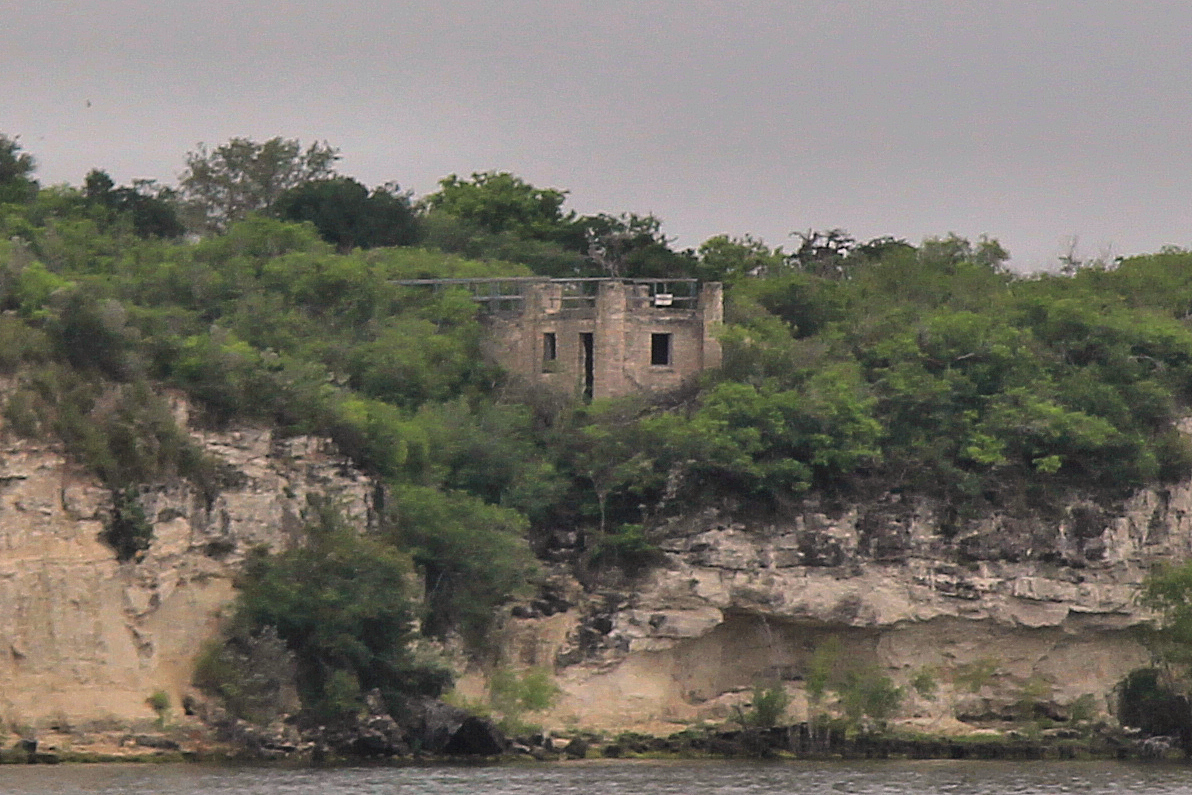
Lake Corpus Christi State Park

A South Texas reservoir park near Mathis with fishing, boating, swimming and a landmark CCC-built stone pavilion overlooking Lake Corpus Christi.

Best season: Fall through spring for camping and fishing; summer for water recreation with heat precautions
  • CCC-built stone pavilion
  • Lake Corpus Christi fishing
  • Boating and paddling
Explore this place
Check current drive from McAllen ↗

About 134 geographic miles

Port Aransas

Port Aransas · Nueces County

Port Aransas

Port Aransas is a Mustang Island Gulf Coast town built around accessible beaches, fishing, shorebird habitat, a busy ship channel, island neighborhoods and routes to Mustang Island State Park and the Coastal Bend.

Best season: Late fall through spring for milder temperatures, birding and fishing; summer for beach holidays with heat, surf and tropical-weather precautions.Updated Oct 2026
  • Port Aransas Beach
  • Mustang Island
  • birdwatching
Explore this place
Check current drive from McAllen ↗

About 145 geographic miles

Rockport

Rockport · Aransas County

Rockport

Rockport is an Aransas Bay coastal town where fishing, birding, a public beach, maritime history, a long-running arts community and access to the bays of the Coastal Bend support a complete Gulf Coast weekend rather than a single-purpose beach stop.

Best season: Fall through spring for birding, fishing and mild waterfront weather; summer for beach and water trips with heat and tropical-weather planningUpdated Sep 2026
  • Aransas Bay
  • Rockport Beach
  • Texas Maritime Museum
Explore this place
Check current drive from McAllen ↗

About 145 geographic miles

Rockport

Rockport · Aransas County

Texas Maritime Museum

The Texas Maritime Museum in Rockport interprets the state's long relationship with the Gulf through shipbuilding, shipwrecks, fishing, offshore industry, Indigenous coastal history and maritime commerce.

Updated Oct 2026
  • Texas maritime history
  • Shipbuilding and shipwrecks
  • 2026 wooden shipbuilding and Spain’s American Revolution role
Explore this place
Check current drive from McAllen ↗

About 148 geographic miles

Fulton

Fulton · Aransas County

Fulton Mansion State Historic Site

The elaborate 1870s mansion overlooking Aransas Bay reflects the wealth, technology and ambitions of George and Harriet Fulton. It is an architectural centerpiece for a Rockport-Fulton trip and a window into affluent Gulf Coast life after the Civil War.

Best season: Year-round; spring and fall are usually the most comfortable for outdoor portions of a visit.Updated Oct 2026
  • Victorian architecture
  • Gulf Coast history
  • 19th-century technology
Explore this place
Check current drive from McAllen ↗

About 157 geographic miles

Three Rivers

Three Rivers · McMullen County

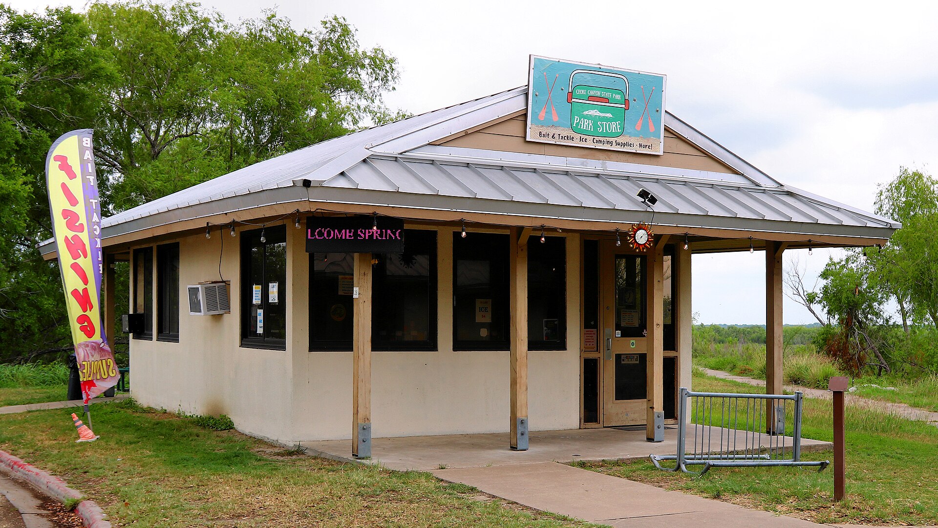
Choke Canyon State Park

A South Texas reservoir state park with two separate public units: full-service Calliham for camping and broader park facilities, and day-use South Shore for boating, fishing and birding.

Best season: Fall through spring for birding, camping and comfortable shore time; fishing remains popular year-roundUpdated Sep 2026
  • Calliham Unit camping, cabins and recreation
  • South Shore day-use fishing, boating and birding
  • Choke Canyon Reservoir fishing
Explore this place
Check current drive from McAllen ↗

About 177 geographic miles

Goliad

Goliad · Goliad County

Presidio La Bahía

A restored Spanish colonial presidio in Goliad associated with the Texas Revolution and the Goliad Massacre, with a chapel, museum and fortified courtyard overlooking the San Antonio River valley.

Best season: Fall through spring for comfortable historic-site touringUpdated Oct 2026
  • Spanish colonial presidio
  • Our Lady of Loreto Chapel
  • Goliad Campaign history
Explore this place
Check current drive from McAllen ↗

About 177 geographic miles

Goliad

Goliad · Goliad County

Goliad State Park & Historic Site

A South Texas history park centered on Mission Espíritu Santo, with restored Spanish colonial architecture, museum exhibits and a San Antonio River setting tied to the broader Goliad story.

Best season: Fall through spring for comfortable walking and regional history touringUpdated Oct 2026
  • Mission Espíritu Santo reconstruction
  • Spanish colonial and Indigenous history
  • San Antonio River setting
Explore this place
Check current drive from McAllen ↗

About 178 geographic miles

Goliad

Goliad · Goliad County

Zaragoza Birthplace State Historic Site

Ignacio Zaragoza was born in the Goliad area and later commanded Mexican forces in their 1862 victory over the French at Puebla, commemorated by Cinco de Mayo. The birthplace connects Texas borderlands history to a major event in Mexican national memory and adds another layer to a Goliad history trip.

Best season: Year-round; spring and fall are usually the most comfortable for outdoor portions of a visit.Updated Aug 2026
  • Ignacio Zaragoza
  • Cinco de Mayo
  • Texas-Mexico history
Explore this place
Check current drive from McAllen ↗

About 178 geographic miles

Goliad

Goliad · Goliad County

Goliad

Goliad is a South Texas courthouse town on the San Antonio River where Spanish mission history, Presidio La Bahía, the 1836 Goliad campaign, historic downtown streets and nearby parkland create one of the state's most concentrated Texas Revolution destinations.

Best season: Fall through spring for historic touring and river walks; summer visits work best with early outdoor stops and midday time in museums or shaded sitesUpdated Sep 2026
  • Presidio La Bahía
  • Mission Espíritu Santo
  • Goliad campaign history
Explore this place
Check current drive from McAllen ↗

About 182 geographic miles

Fannin

Fannin · Goliad County

Fannin Battleground State Historic Site

The site preserves the landscape associated with the 1836 Battle of Coleto, where James Fannin's command was surrounded during the Texas Revolution. Pair it with Presidio La Bahía to follow the events that led from the Coleto surrender to the Goliad executions.

Best season: Year-round; spring and fall are usually the most comfortable for outdoor portions of a visit.Updated Oct 2026
  • Texas Revolution
  • James Fannin
  • Goliad campaign
Explore this place
Check current drive from McAllen ↗

About 197 geographic miles

Crystal City

Crystal City · Zavala County

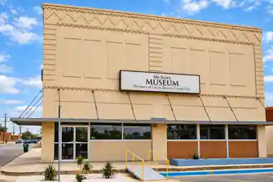
My Story Museum

My Story Museum is Crystal City's first permanent local-history museum, preserving Zavala County stories through exhibits on the 1969 student walkouts and Chicano movement, the Crystal City Family Internment Camp, and local military veterans.

Updated Oct 2026
  • 1969 Crystal City student walkouts and Chicano movement
  • Crystal City Family Internment Camp and its WWII confinement history
  • Zavala County veterans and community memory
Explore this place
Check current drive from McAllen ↗

About 208 geographic miles

Cuero

Cuero · DeWitt County

Cuero

Cuero is a DeWitt County courthouse town with a historic Main Street district, Chisholm Trail and ranching history, Turkeyfest traditions, multiple museums, murals, a large municipal park and access to the Guadalupe River paddling corridor.

Best season: Spring for wildflowers and mild outdoor weather; fall for Turkeyfest and downtown events when current dates are confirmedUpdated Sep 2026
  • DeWitt County Courthouse
  • historic downtown
  • Chisholm Trail Heritage Museum
Explore this place
Check current drive from McAllen ↗

About 216 geographic miles

San Antonio

San Antonio · Bexar County

Mission Espada

The oldest mission enterprise in Texas by founding date, Espada moved to San Antonio in 1731; its church, textile history and nearby aqueduct reveal a settlement built around irrigation and labor.

Best season: Visit in cooler months or earlier in the day; the aqueduct and grounds are outdoors.Updated Oct 2026
  • Founded in East Texas in 1690
  • Current church completed in 1756
  • Historic loom interpretation
Explore this place
Check current drive from McAllen ↗

About 216 geographic miles

San Antonio

San Antonio · Bexar County

Mission San Juan Capistrano

Mission San Juan's surviving church and acequia-fed demonstration farm reveal the agricultural, Indigenous and living-community story behind San Antonio's colonial mission system.

Best season: Fall and spring are most comfortable for a farm and river landscape walk.Updated Oct 2026
  • Active mission church
  • Historic acequia
  • Modern demonstration farm
Explore this place
Check current drive from McAllen ↗

About 219 geographic miles

San Antonio

San Antonio · Bexar County

Mission San José

San José, the largest Spanish colonial mission complex in San Antonio, is the National Park Service orientation hub, with a church, granary, former residential quarters, gristmill and Rose Window.

Best season: Fall through spring for walking the extensive compound; summer visits are most pleasant in the morning.Updated Nov 2026
  • Park visitor center
  • Rose Window
  • Operational gristmill interpretation
Explore this place
Check current drive from McAllen ↗

Before you go

Use geography as a shortlist, then check the real route.

TexasDefined uses location data to make the statewide catalog easier to search. Open the current driving route for the places you are considering, then verify opening hours, reservations, park alerts, water conditions and weather with the current official source.